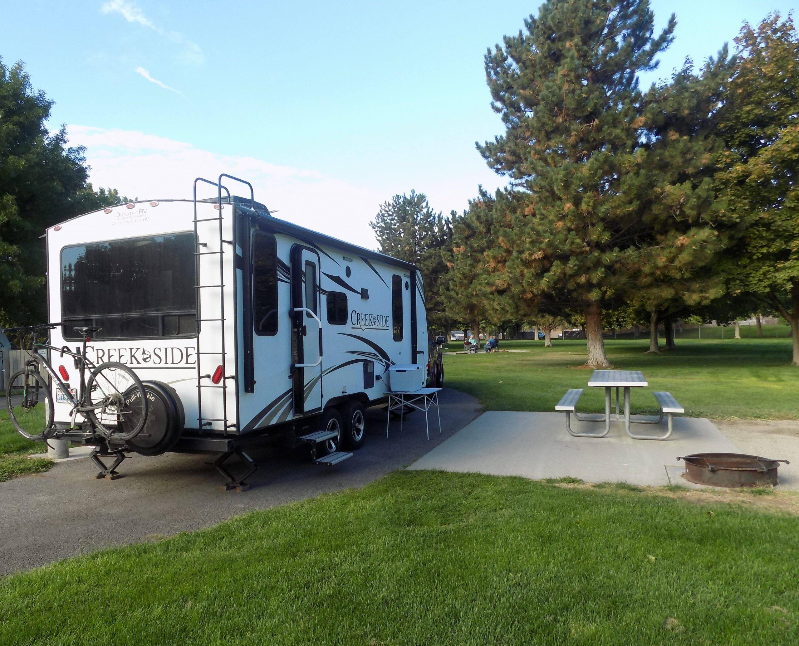
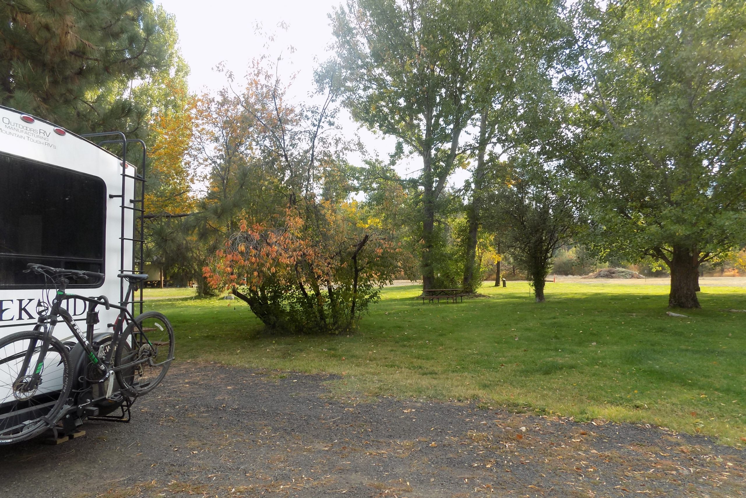
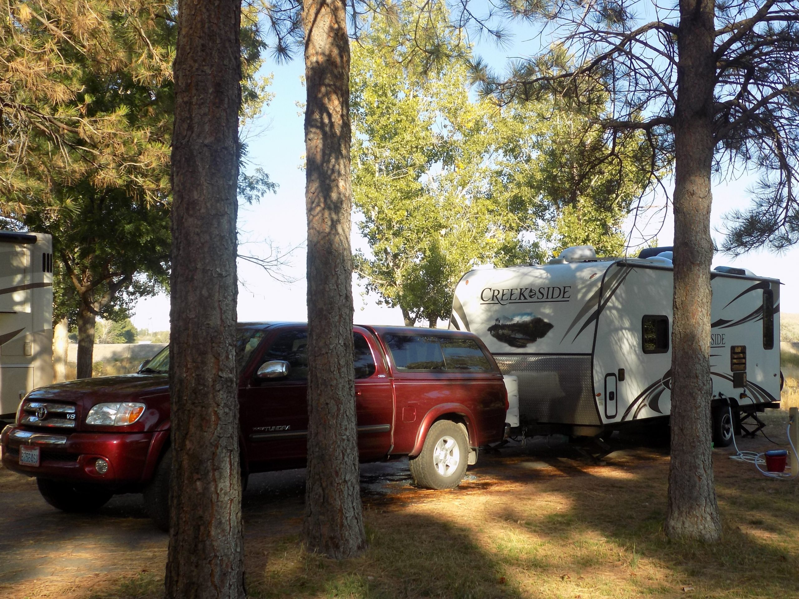
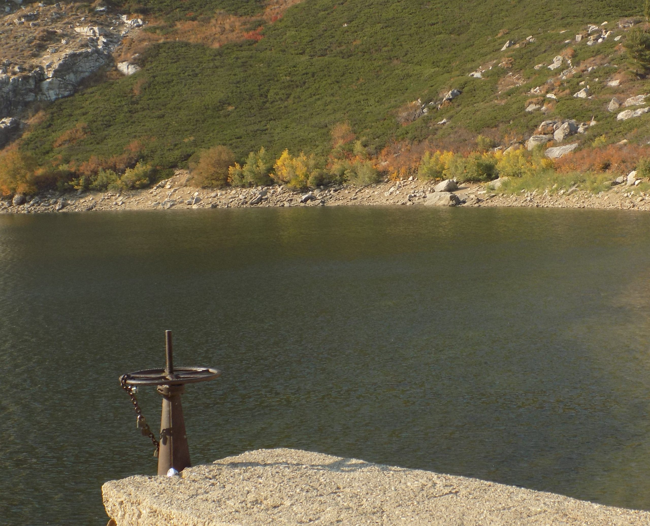
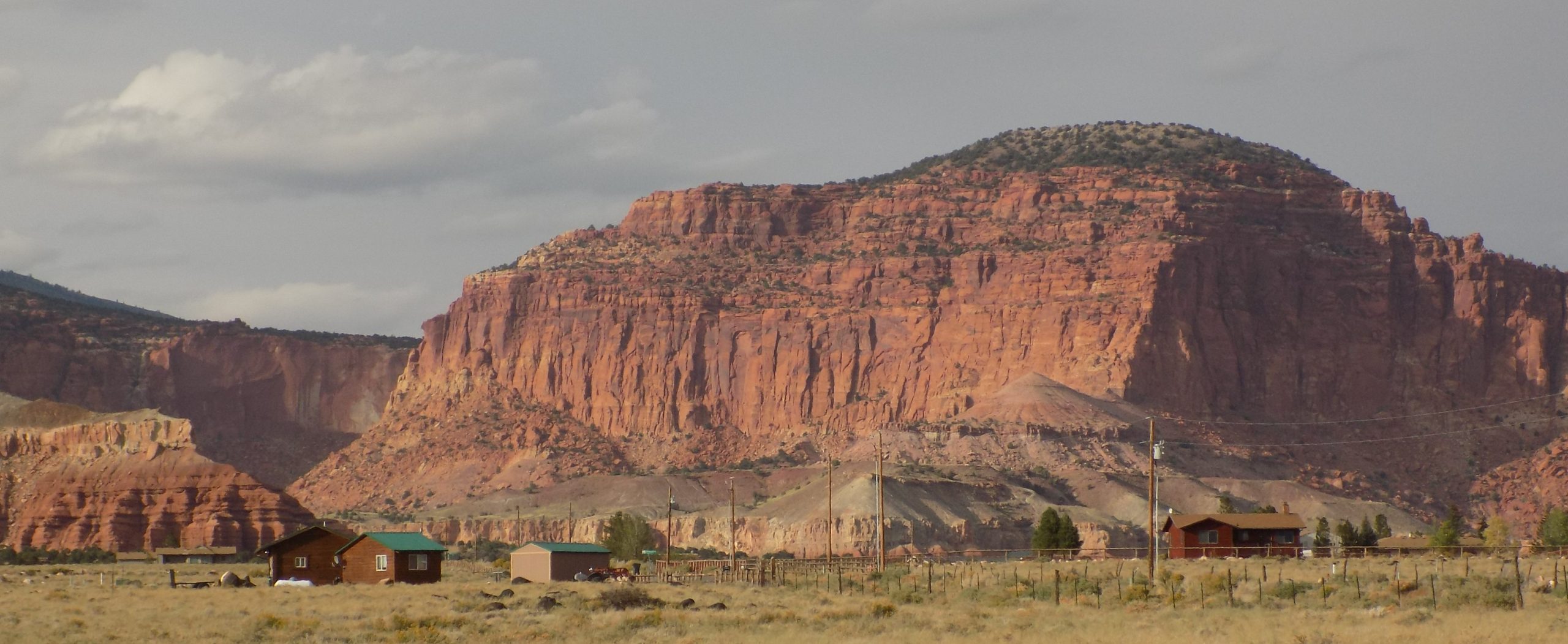
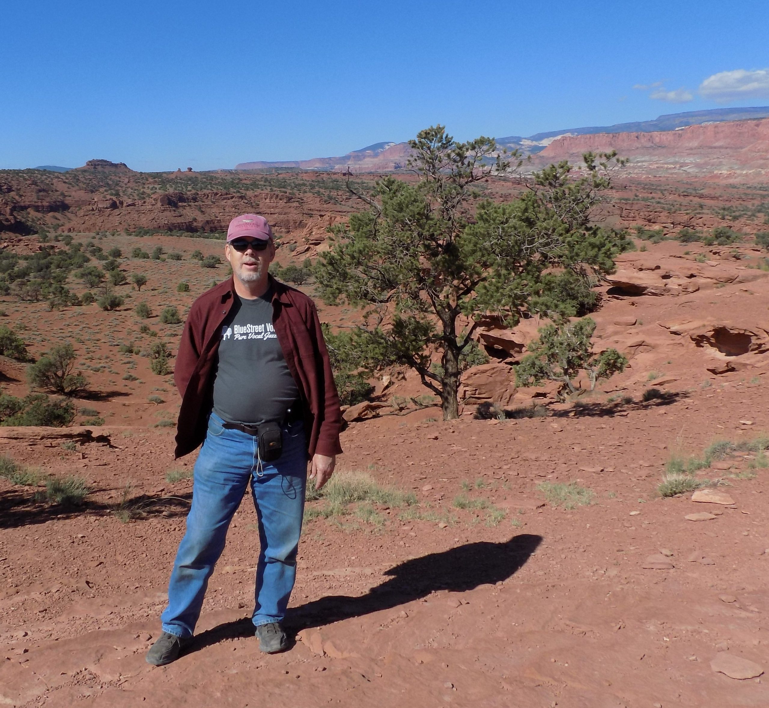
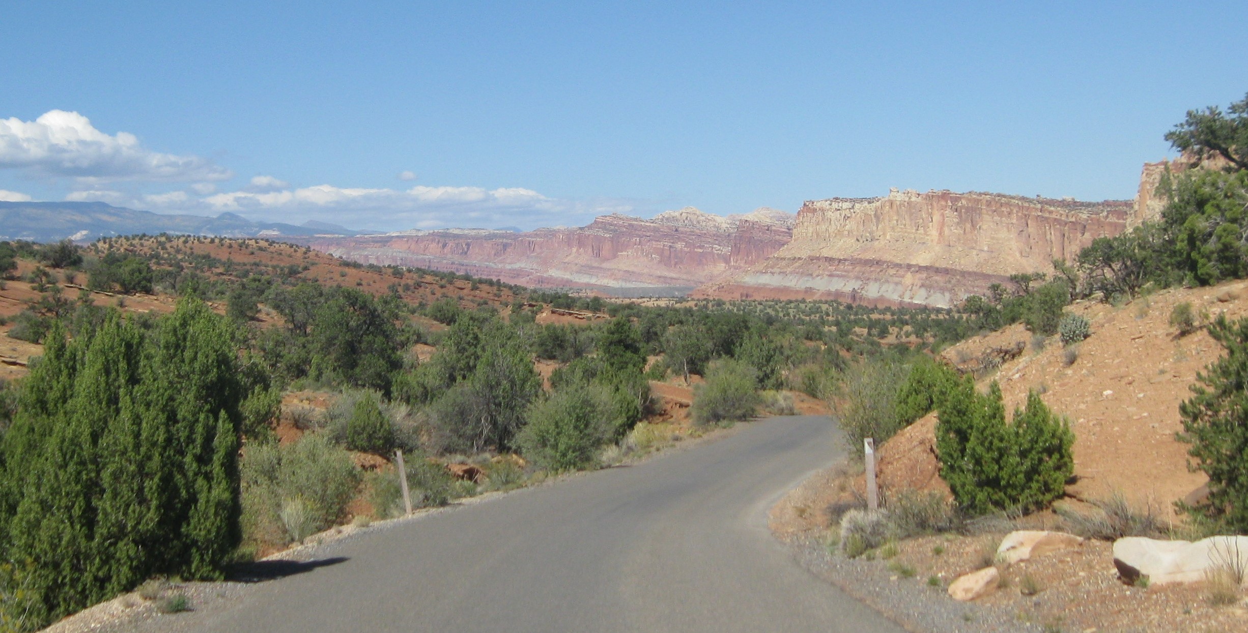
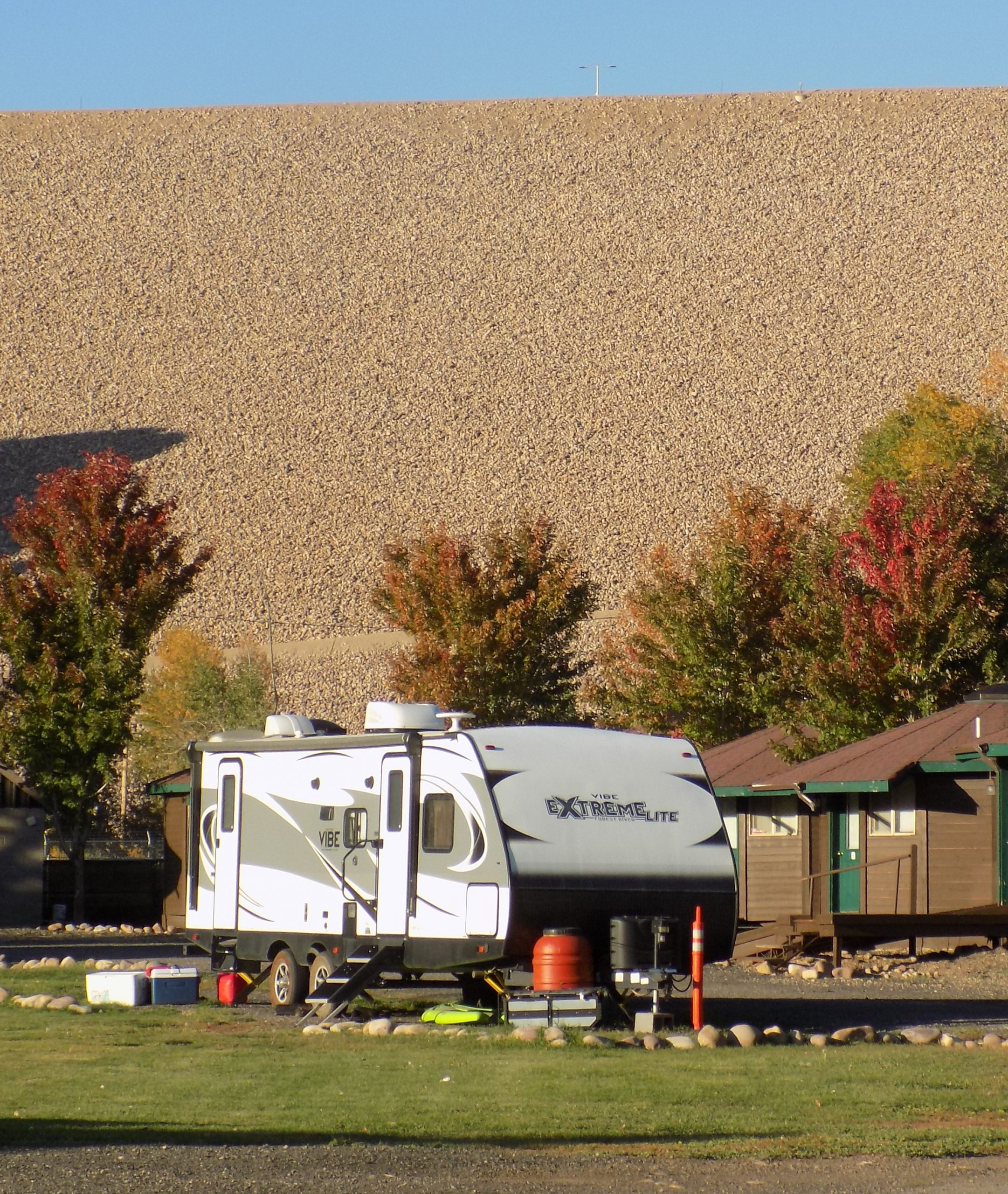
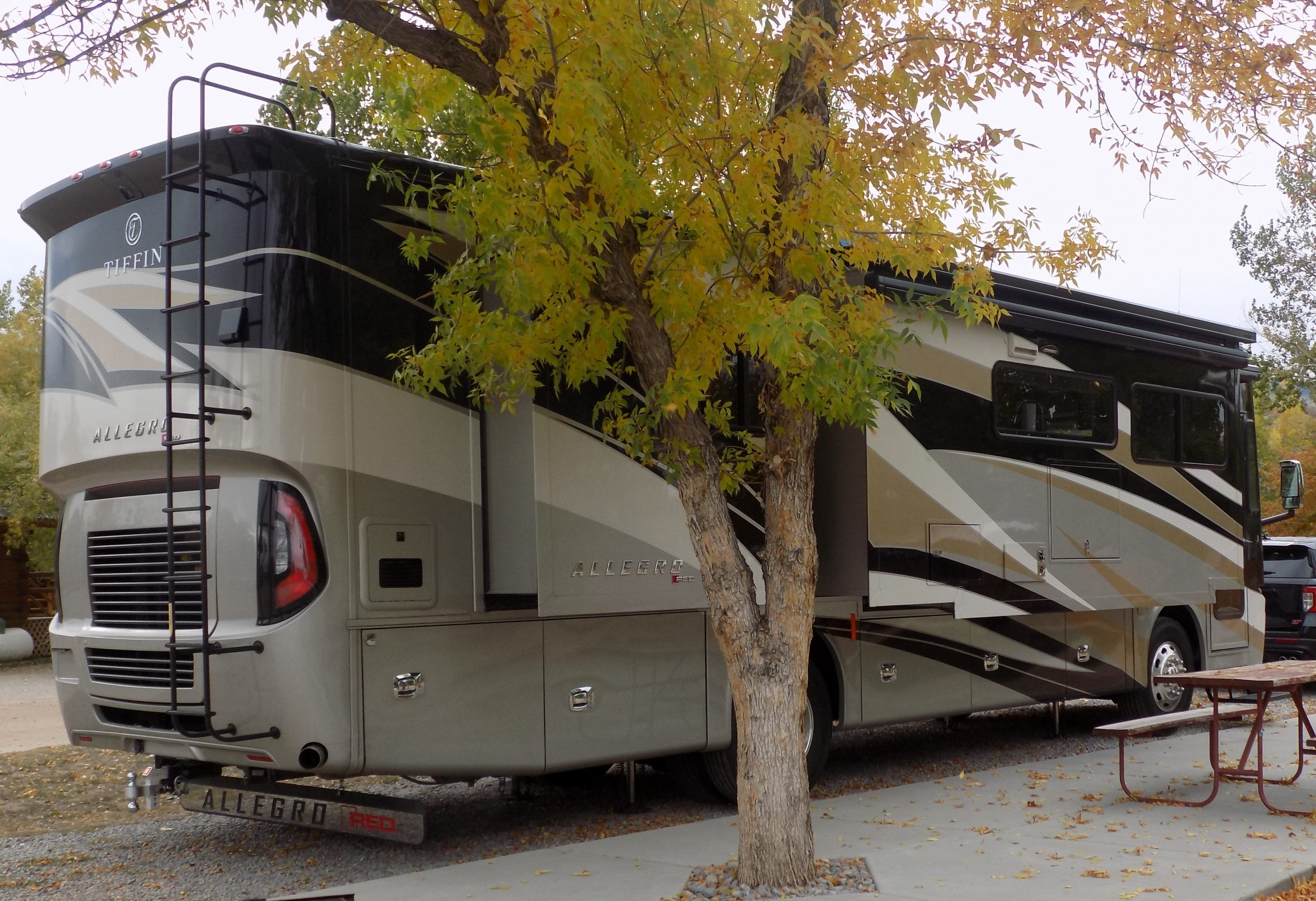
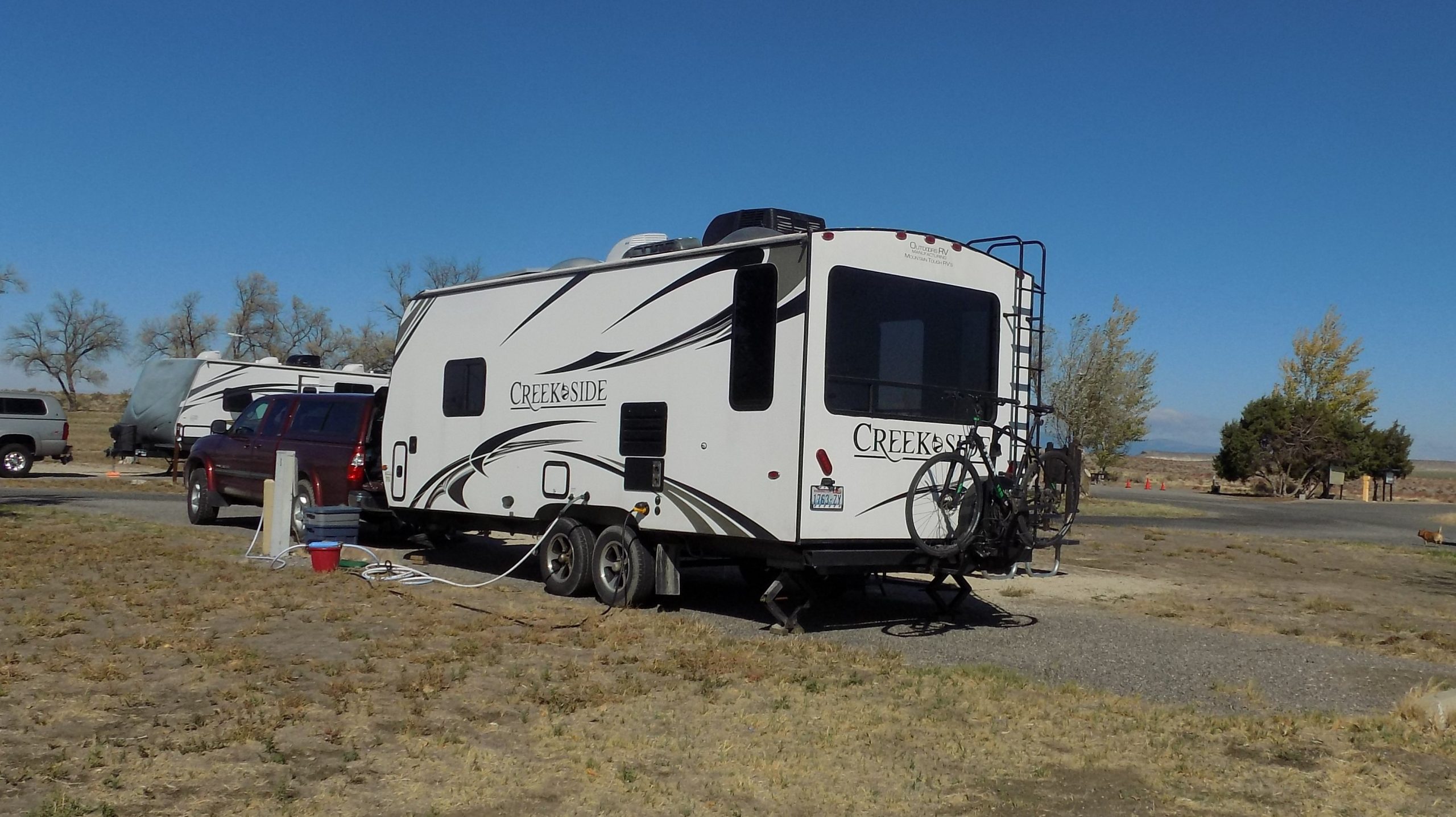
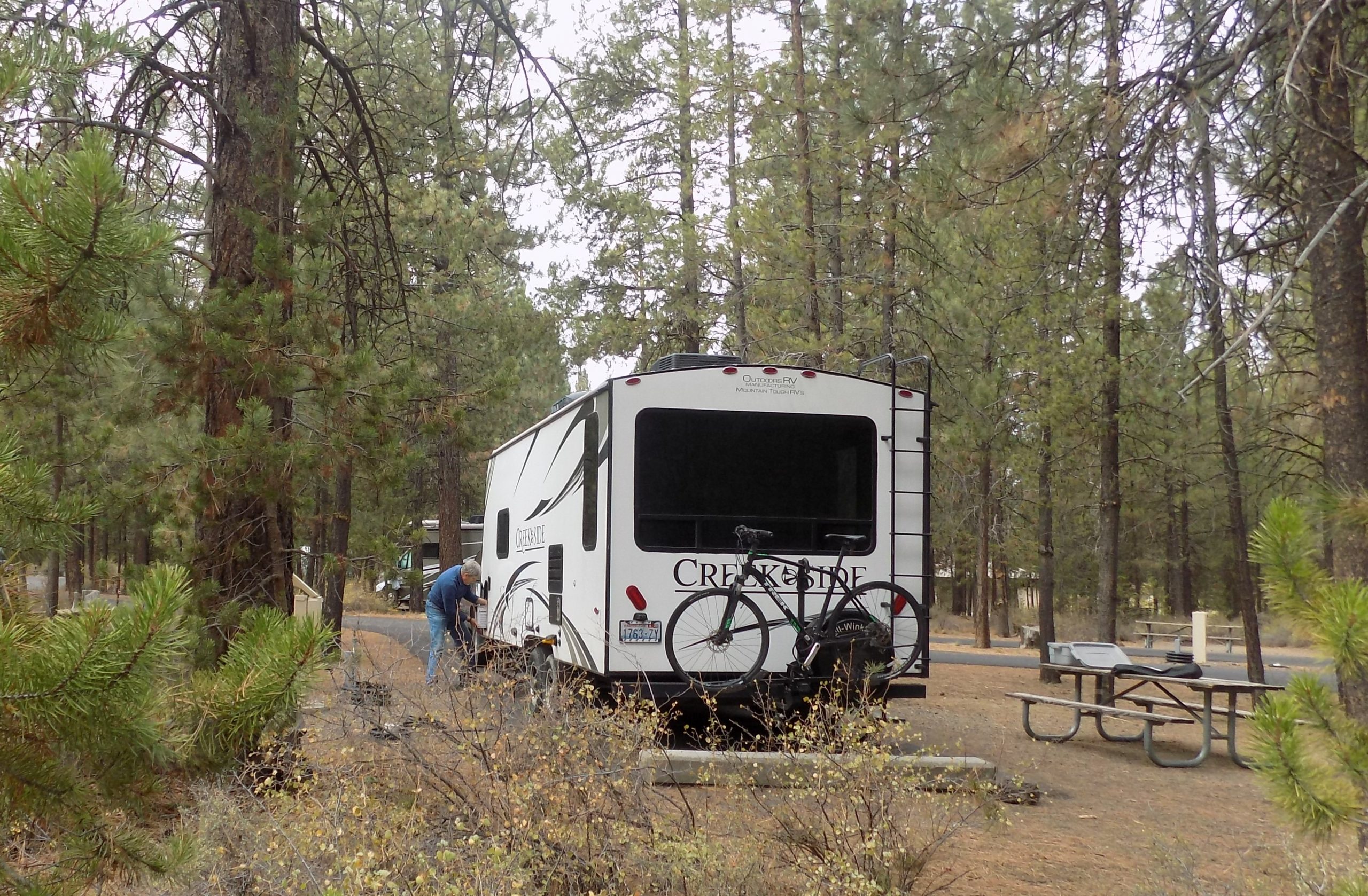
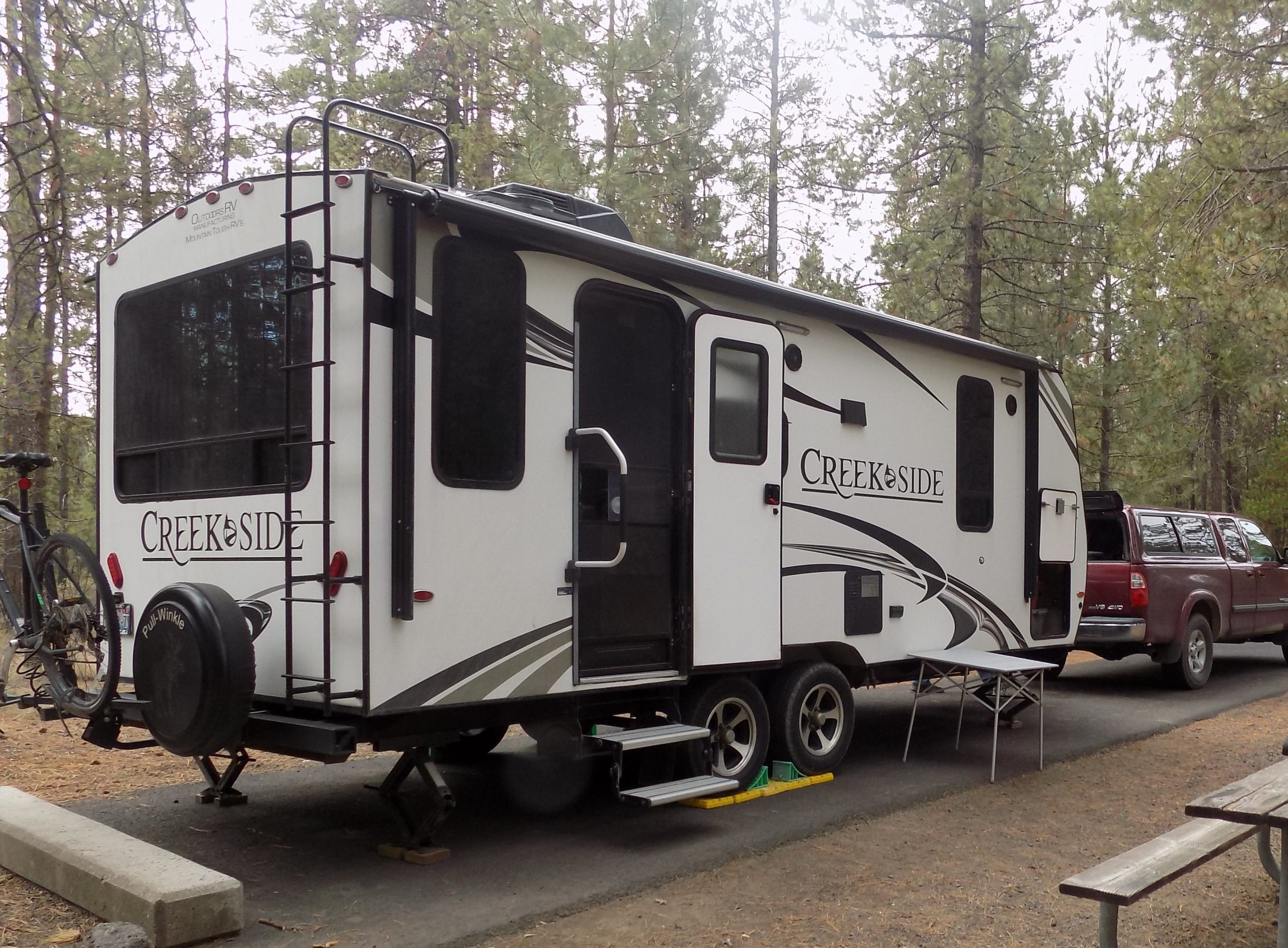
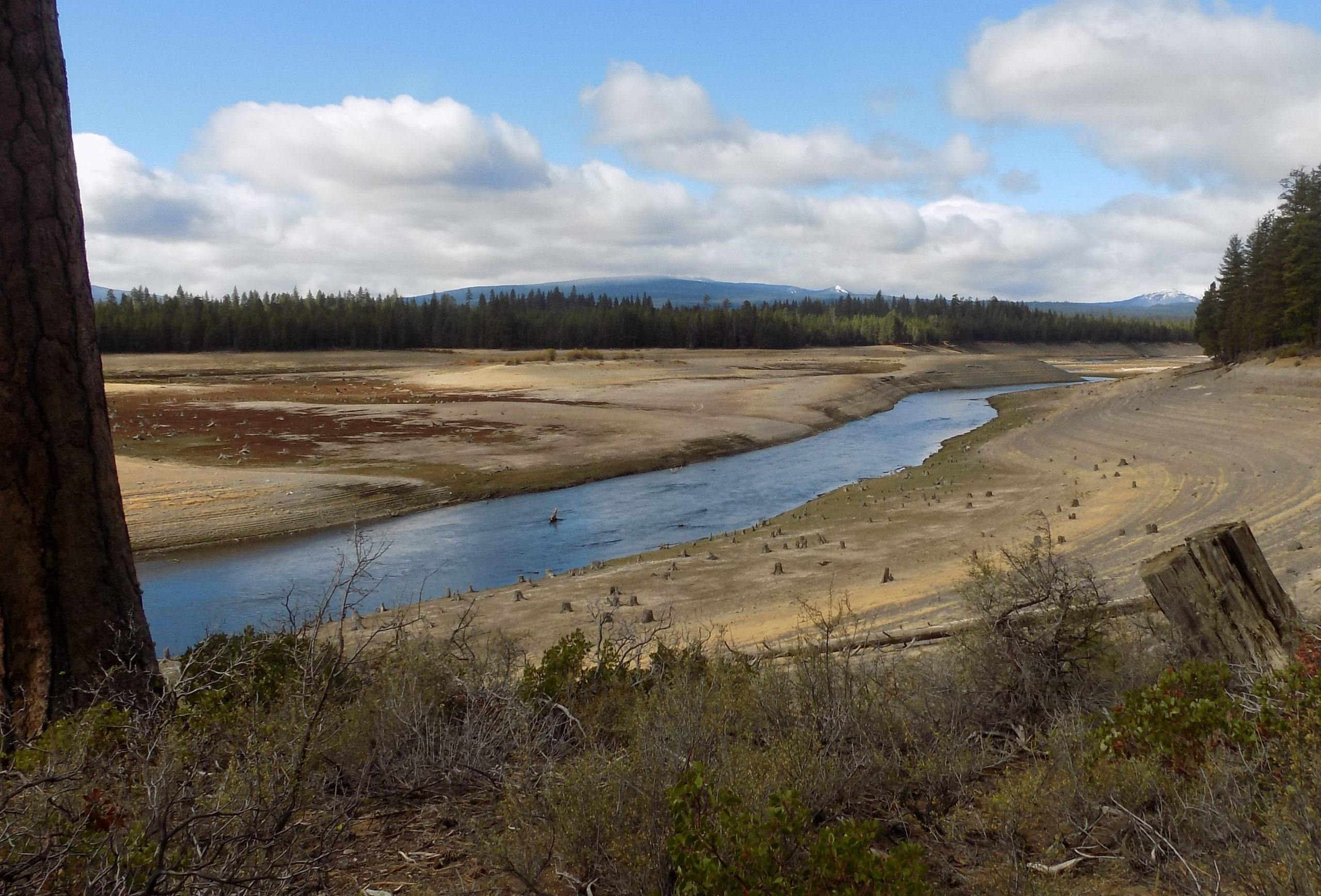
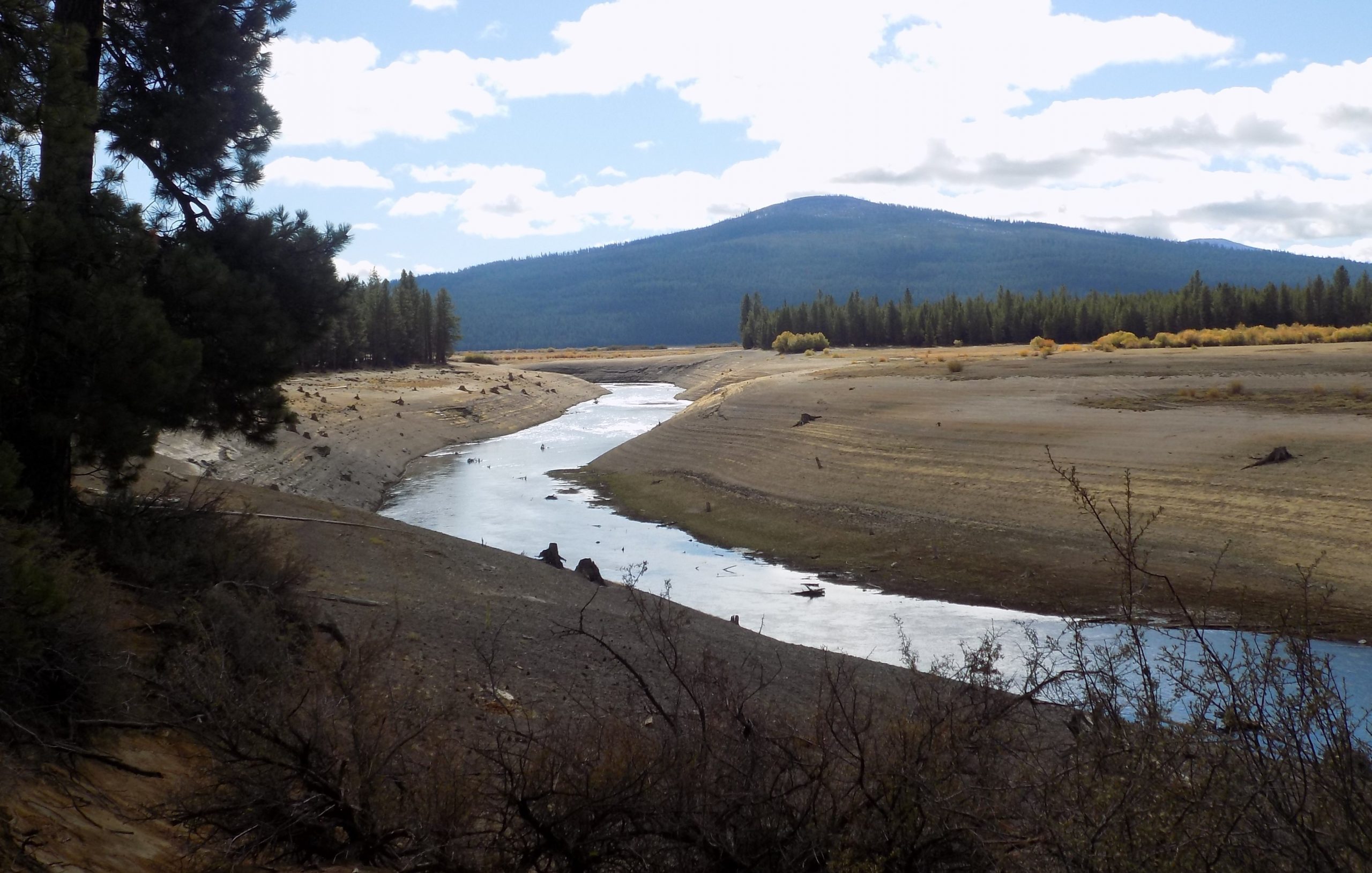
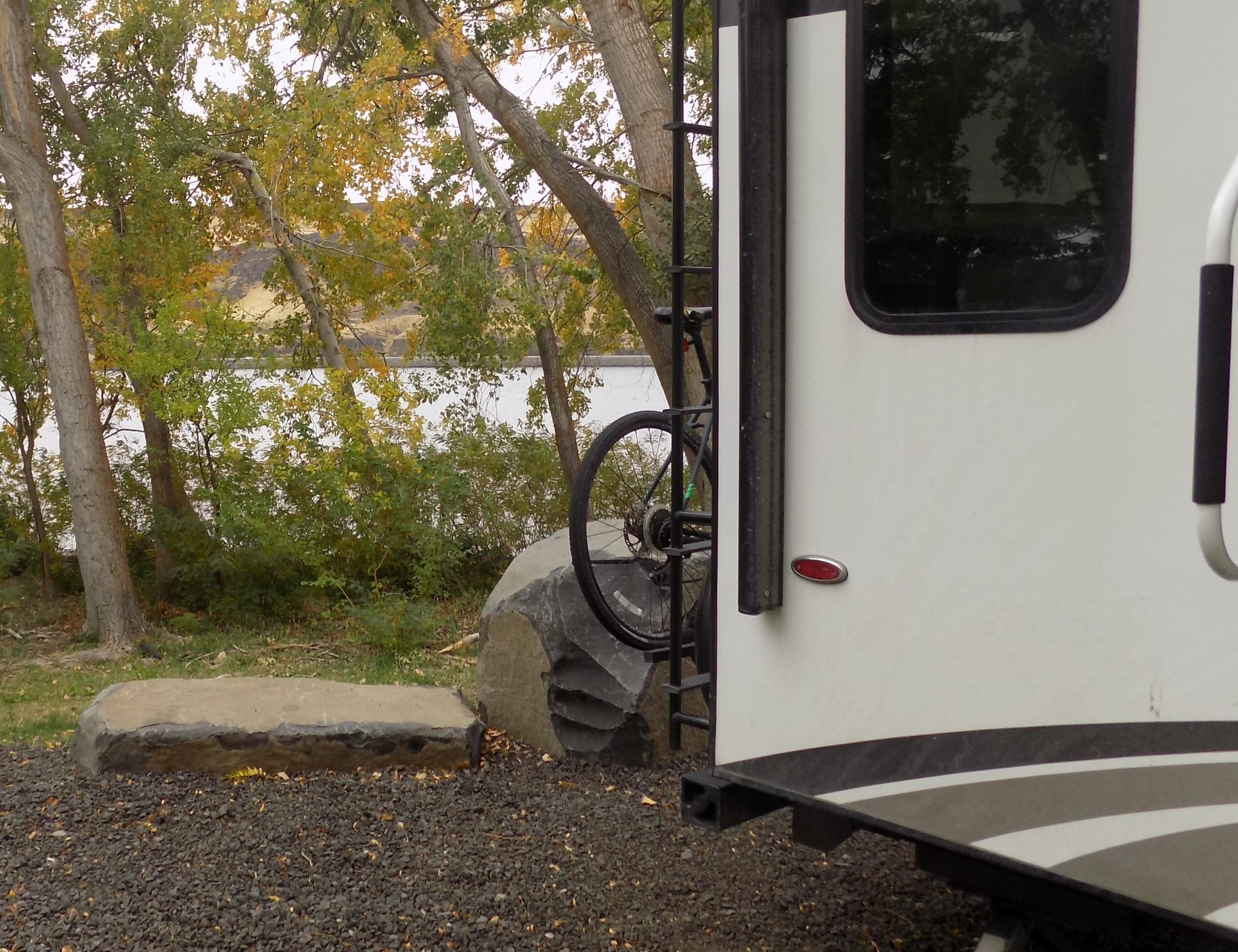
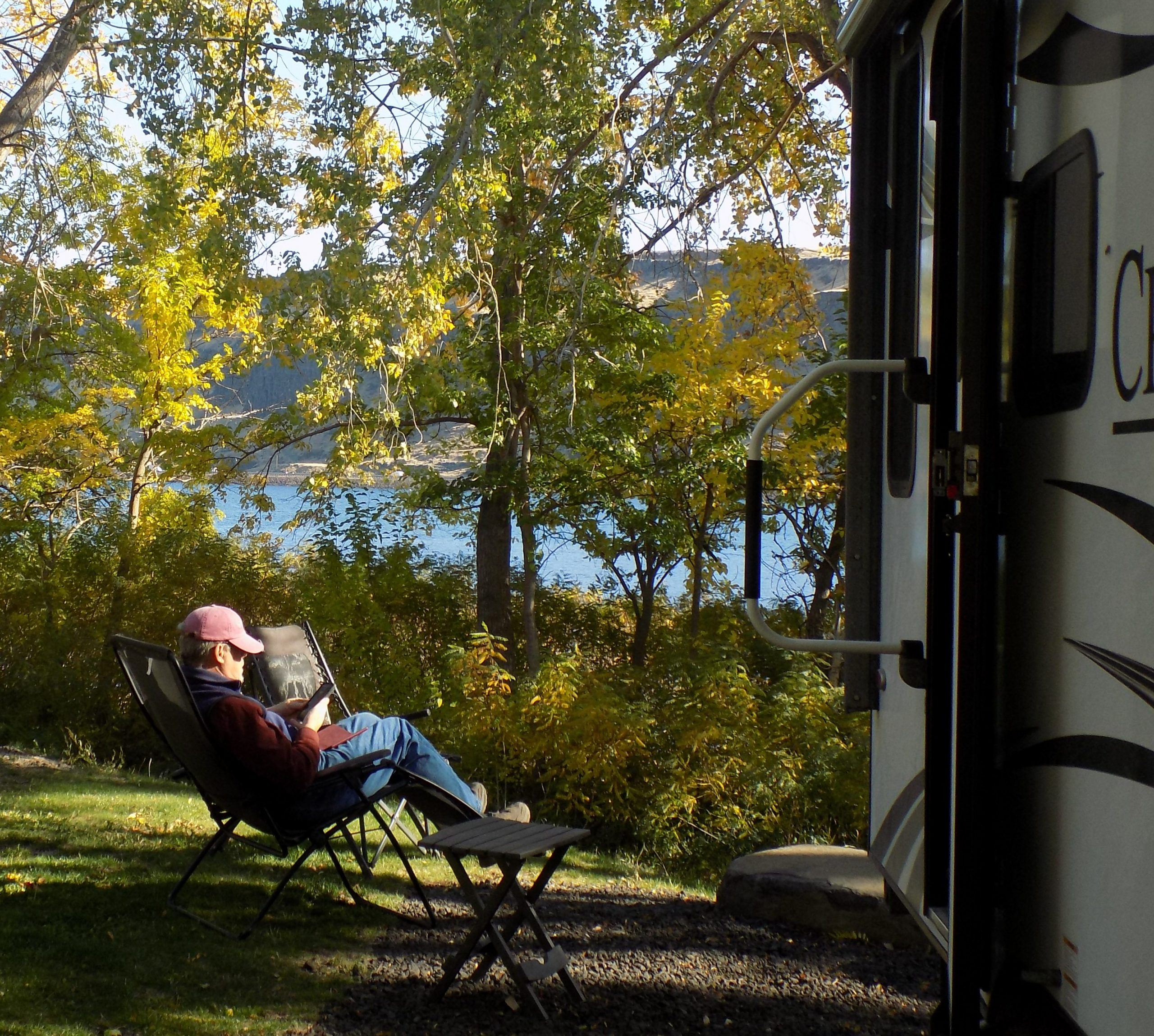
Wednesday, September 22, 2021 – Wenatchee Confluence State Park (SP) – site 37
Well, you know what they say, if life throws you lemons, go visit Les Schwab. OK, the world doesn’t say that, but when you discover a flat tire on your trailer 2 days before you plan to leave town, visiting Les is the best option available.
All the fun began on Monday the 20th as we were taking the cover off the trailer. There it was in all its glory – the left rear tire nearly flat. Luckily, the trailer has 2 tires per side, so the one still perfectly inflated was holding up the trailer nicely. And the other tire (bad tire) was not flat as a pancake, just not fully inflated. So, Mr. C. pumped it up with his trusty traveling air-compressor (we never leave home without it) and remarkably, the tire held most of its air over night. Or at least enough for Andy to drive to Mount Vernon where he knew the Les Schwab facility could accommodate a truck and trailer. And within an hour the tire was fixed and back on the trailer – no charge. I love Les Schwab! Talk about good customer service! Anyway, Andy was back home late morning on Tuesday so that we had plenty of time to pack the trailer for an early departure on Wednesday morning.
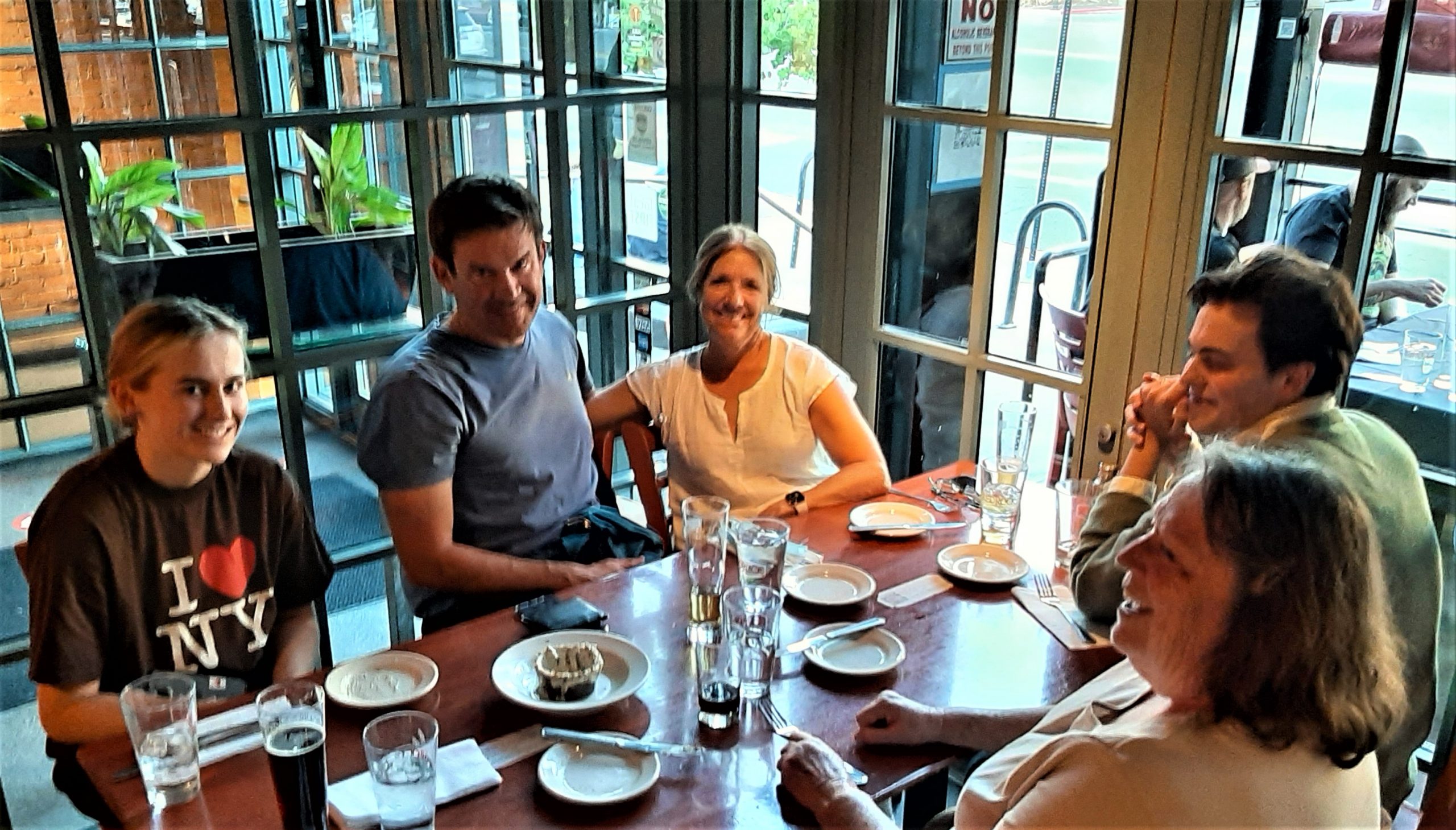
Now for some, an early departure would be 6:00 or 7:00 am. For us, we are lucky to get hitched up and off Camano by 11:00 am. But we exceeded this time and left the storage facility at 10:30 am. So, on our way towards one of our favorite first night on the road destinations – Wenatchee Confluence SP. Plus our dear friend Linda lives in nearby Leavenworth, so coming to our camp site in Wenatchee for a visit is easily accomplished. We sat around and talked for a while, then off to a Mexican restaurant for dinner. Then back to camp, and for me an early to bed.
I am still recovering from Mohs surgery (look it up) to remove a cancer on my left leg. And although I had already experienced the same type of procedure on my forehead and left arm, I was completely unprepared for how much pain I would experience on my left shin. Yikes! So, with a Tylenol PM coursing through my veins, it was off to beddy-bye at 8:30.
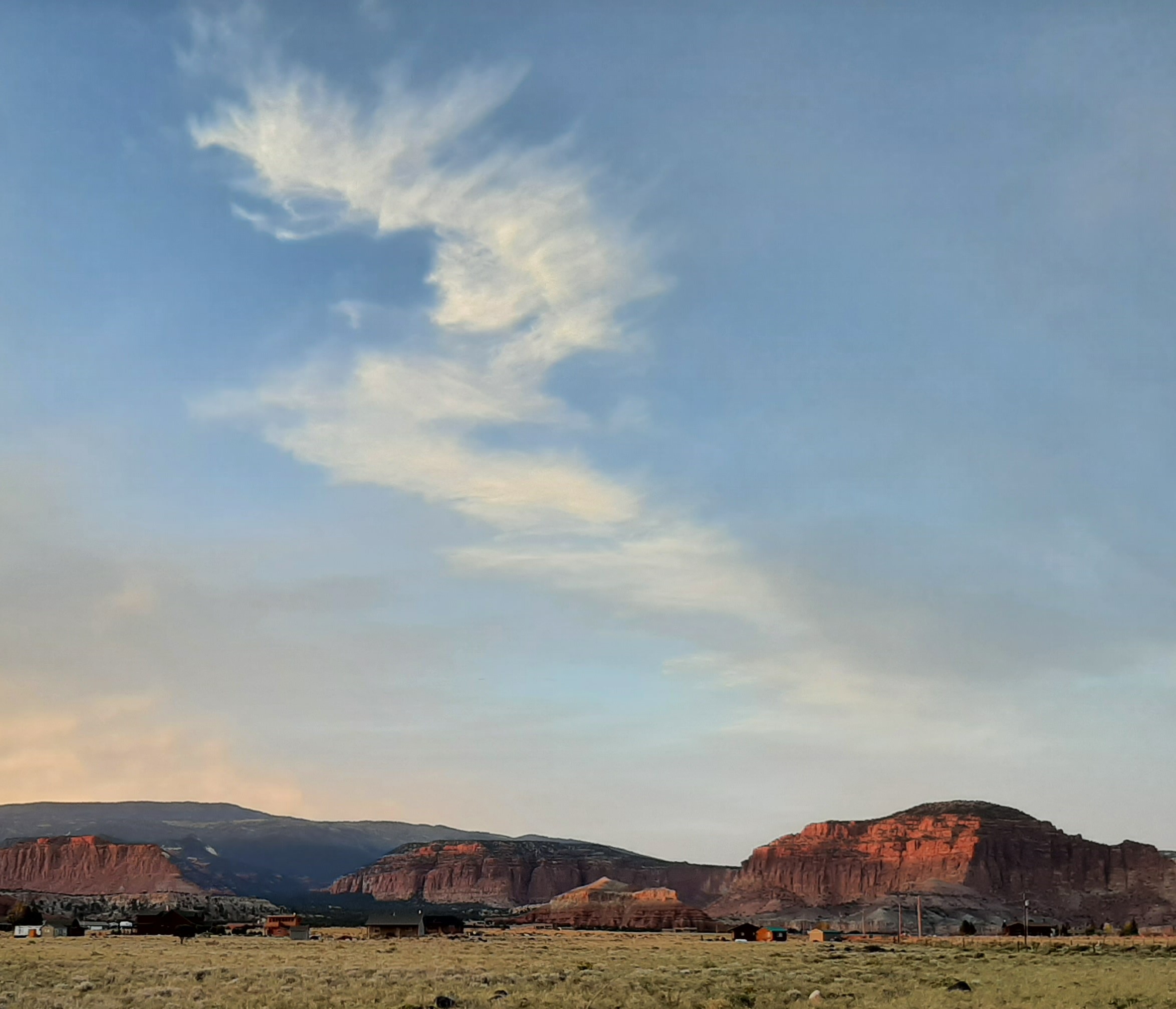
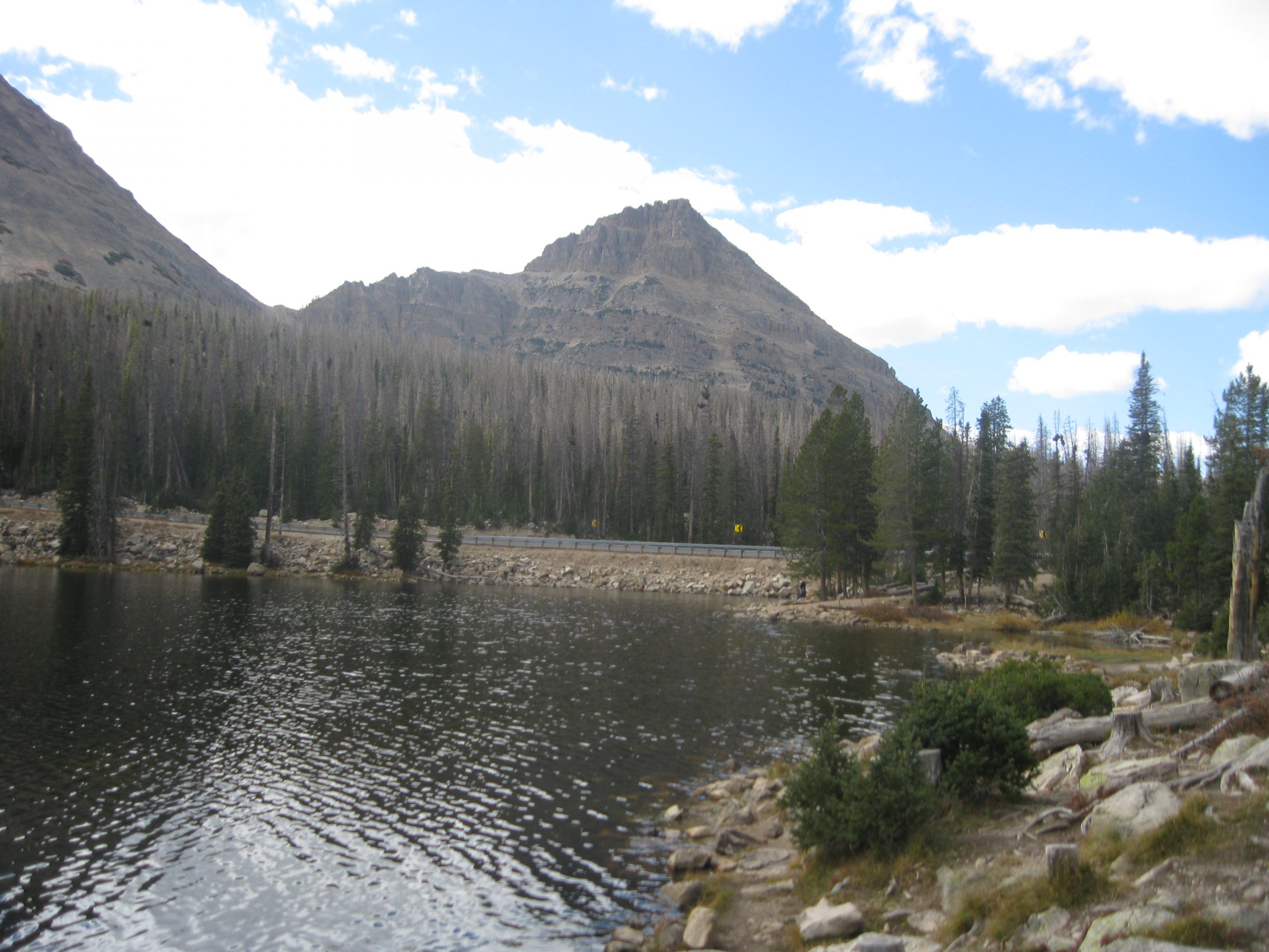
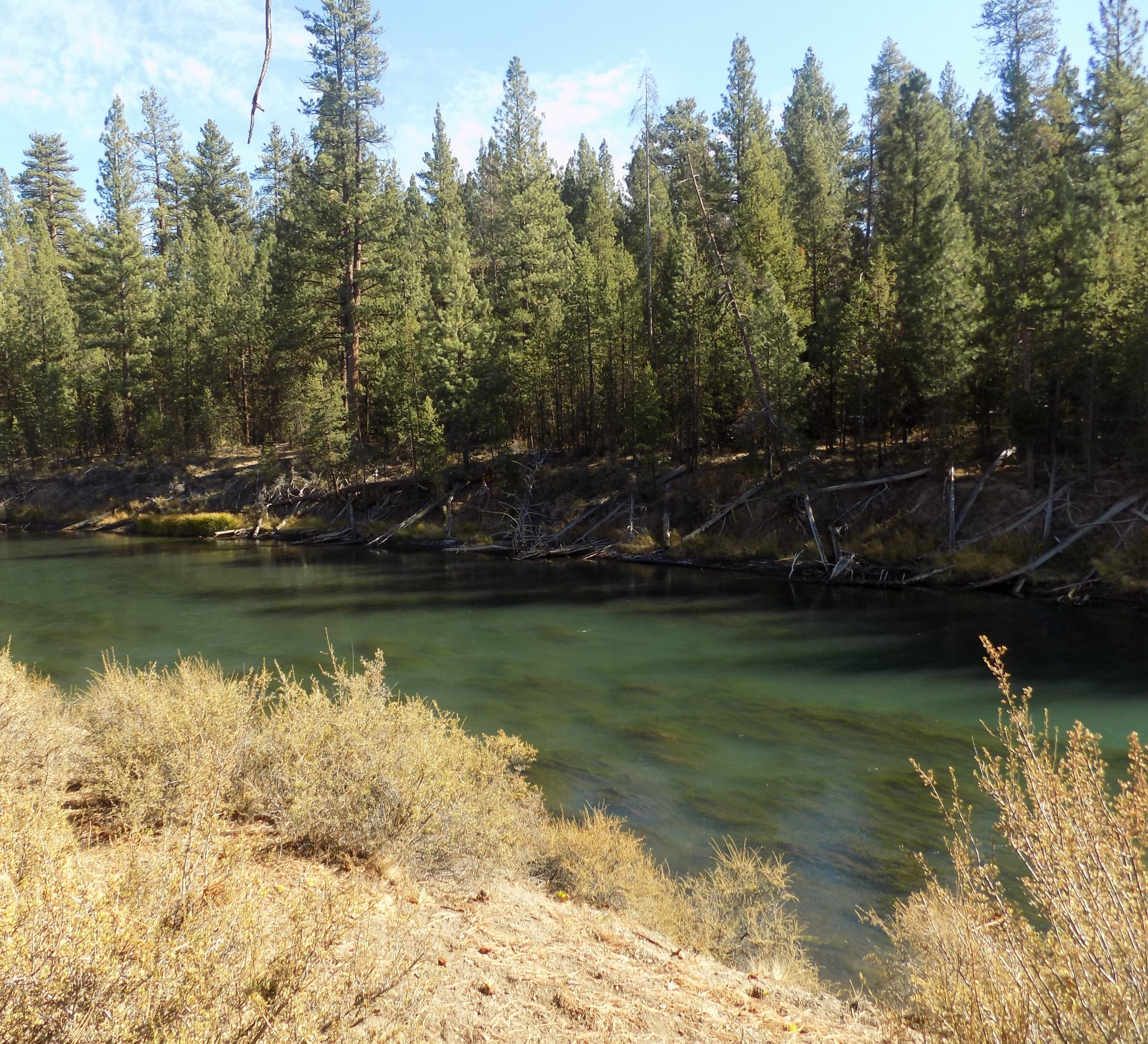
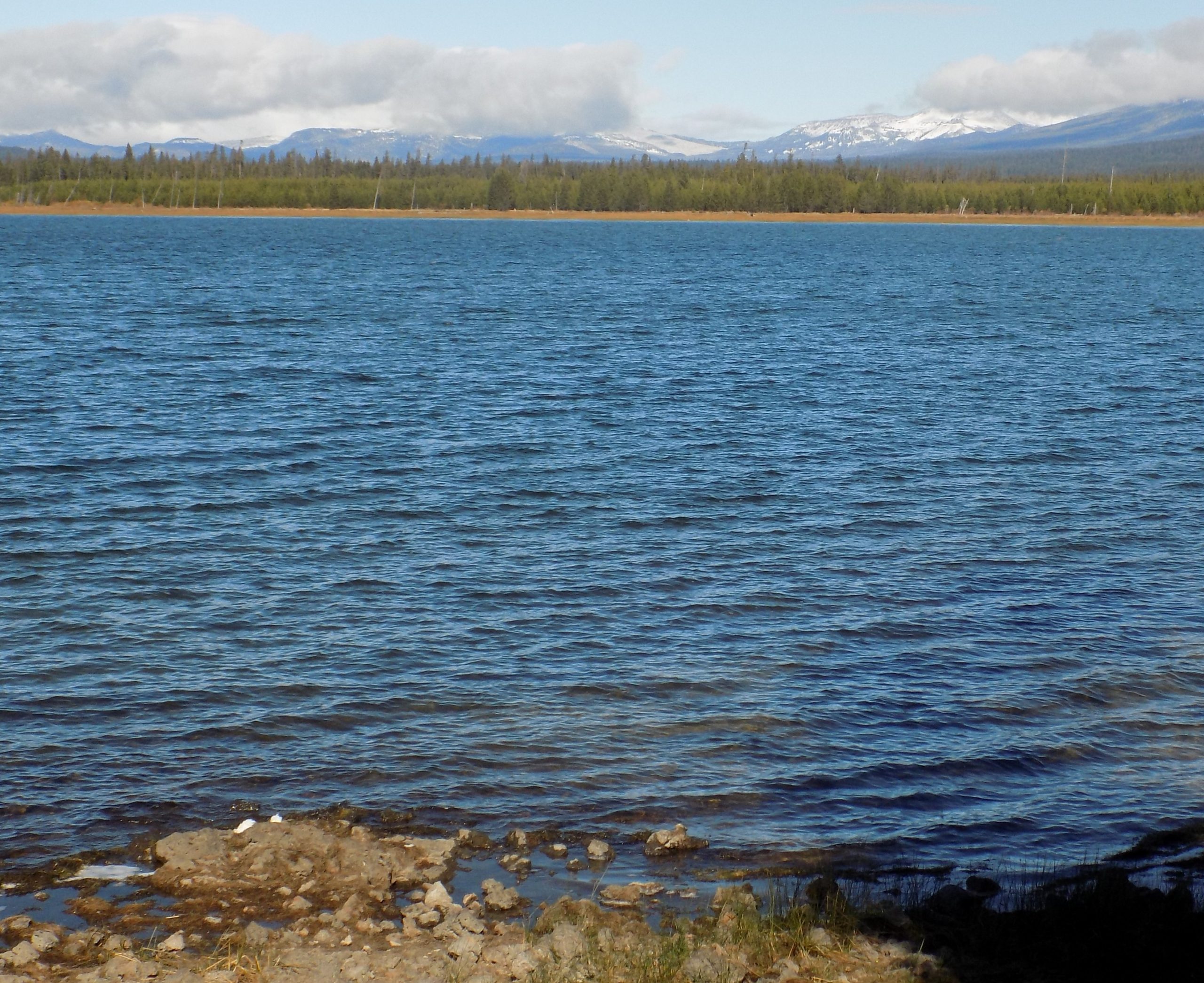
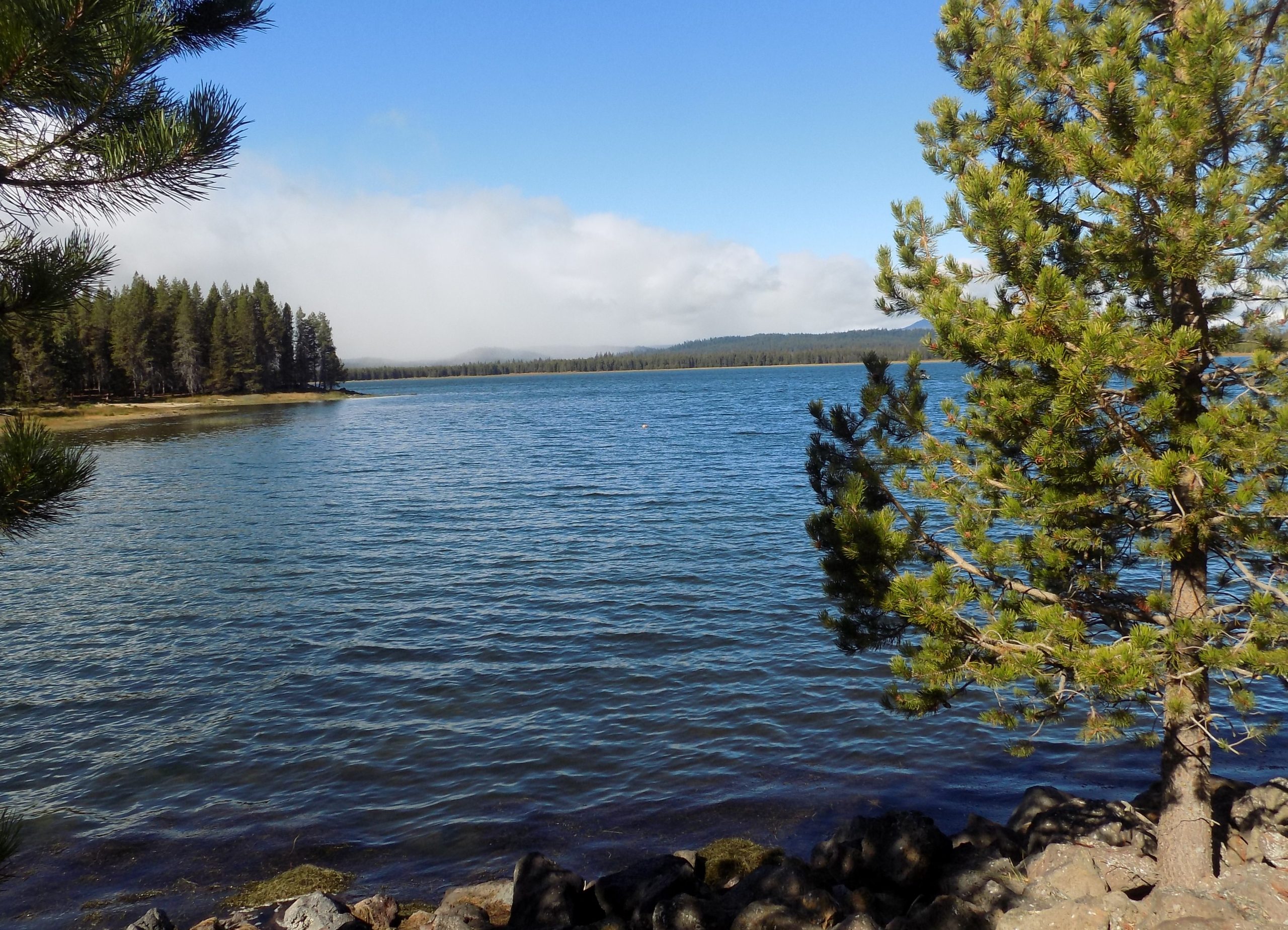
Thursday, September 23, 2021 – Chief Timothy State Park (near Clarkston, WA) – site 18
Woke to a beautiful morning. And another day of adventure.
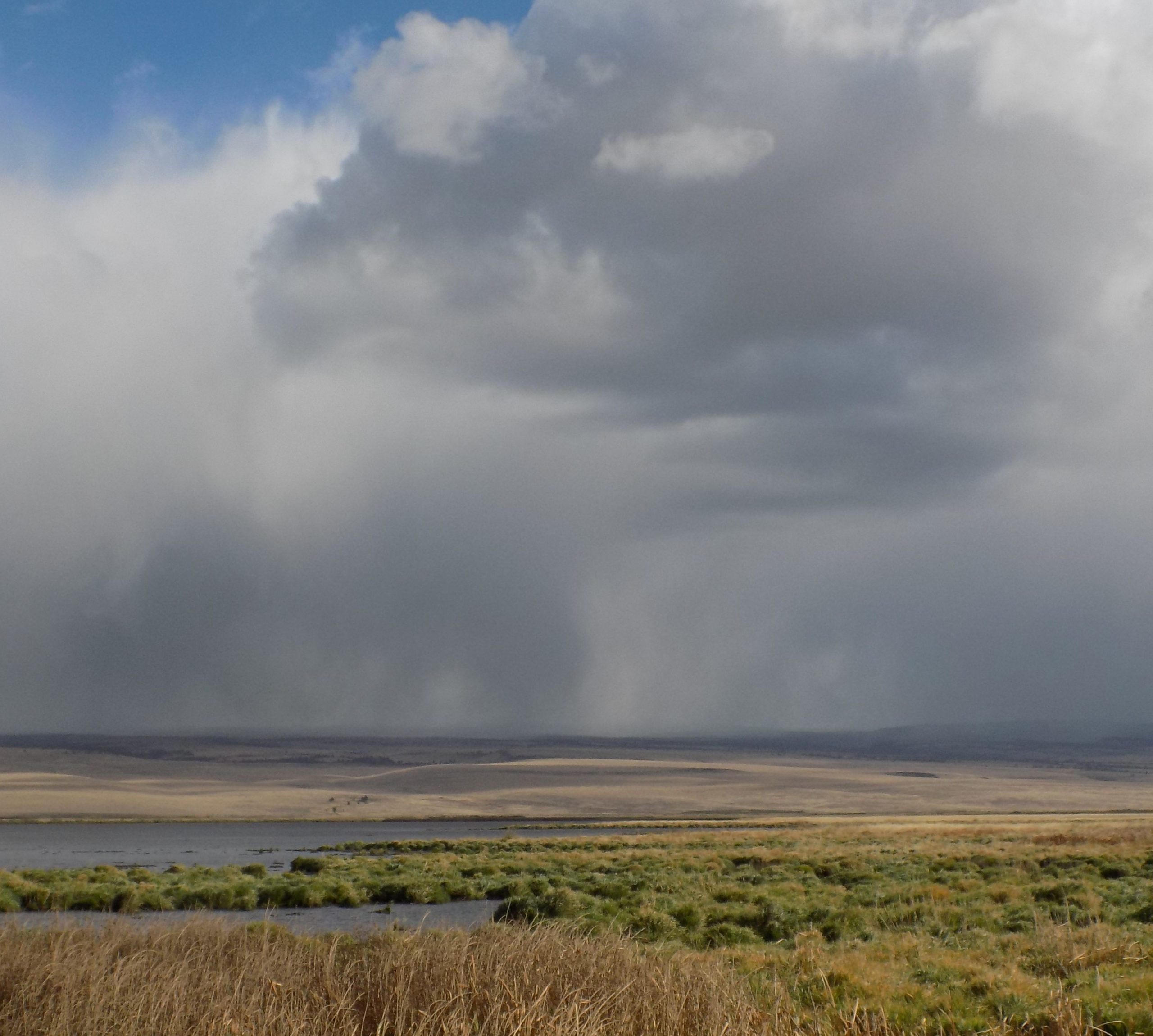
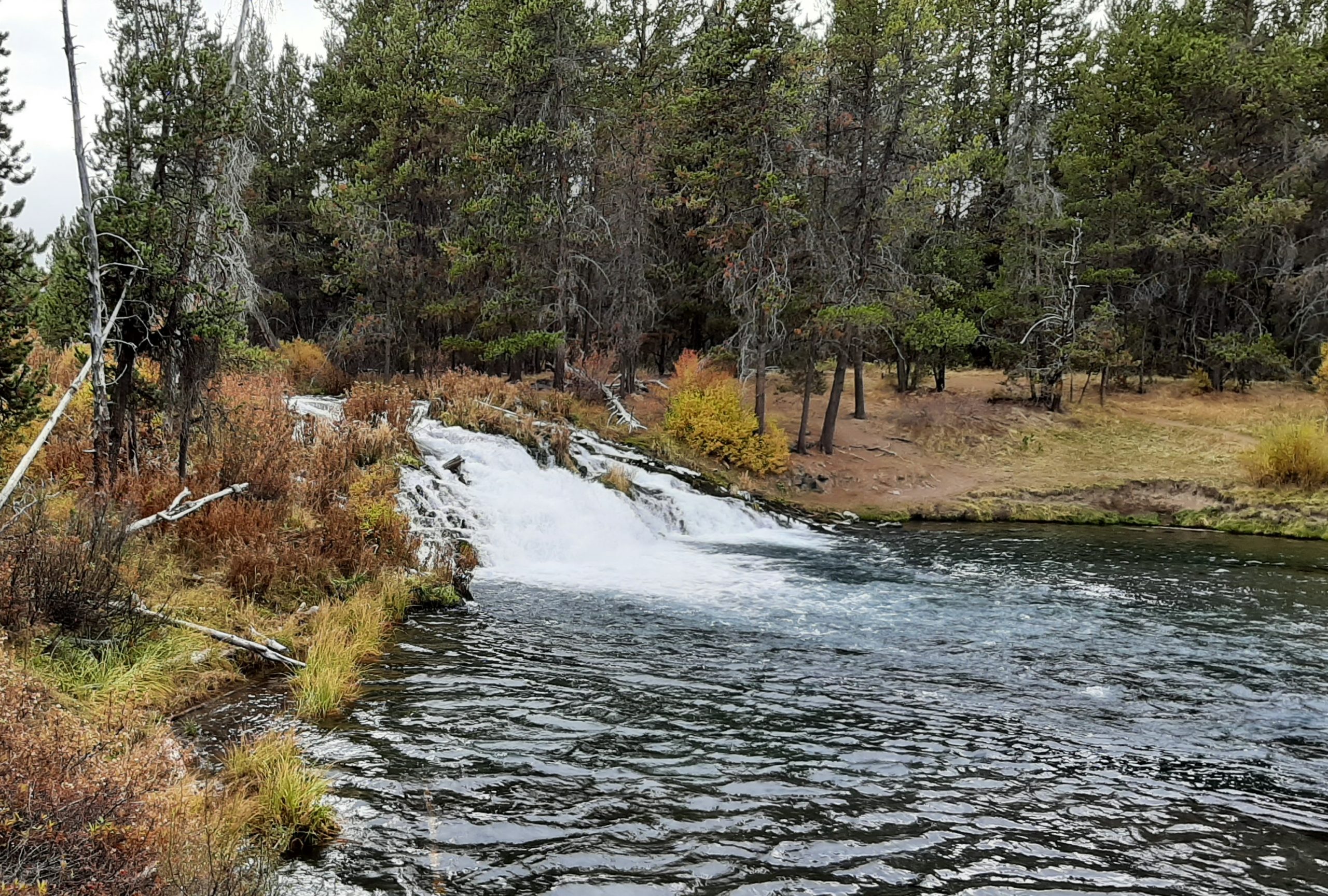
After a nice breakfast it was time to hit the road. Our travels took us over some old roads and some new roads. One segment which turned out to be very scenic was highway 260 from Othello thru Palouse Falls. Up and down, twists and turns thru wheat fields, orchards, and even a vineyard or two. A little slow, but no problem for our truck and trailer. And a segment of road that was new to us. Always fun to drive a road for the first time.
Arrived about 4:15 pm and spent a couple of hours reading outside under perfect conditions. Short sleeve shirt weather, shade from big trees, with just a bit of a breeze. Then in for supper and reading and writing till bedtime. Could not have been a nicer day.
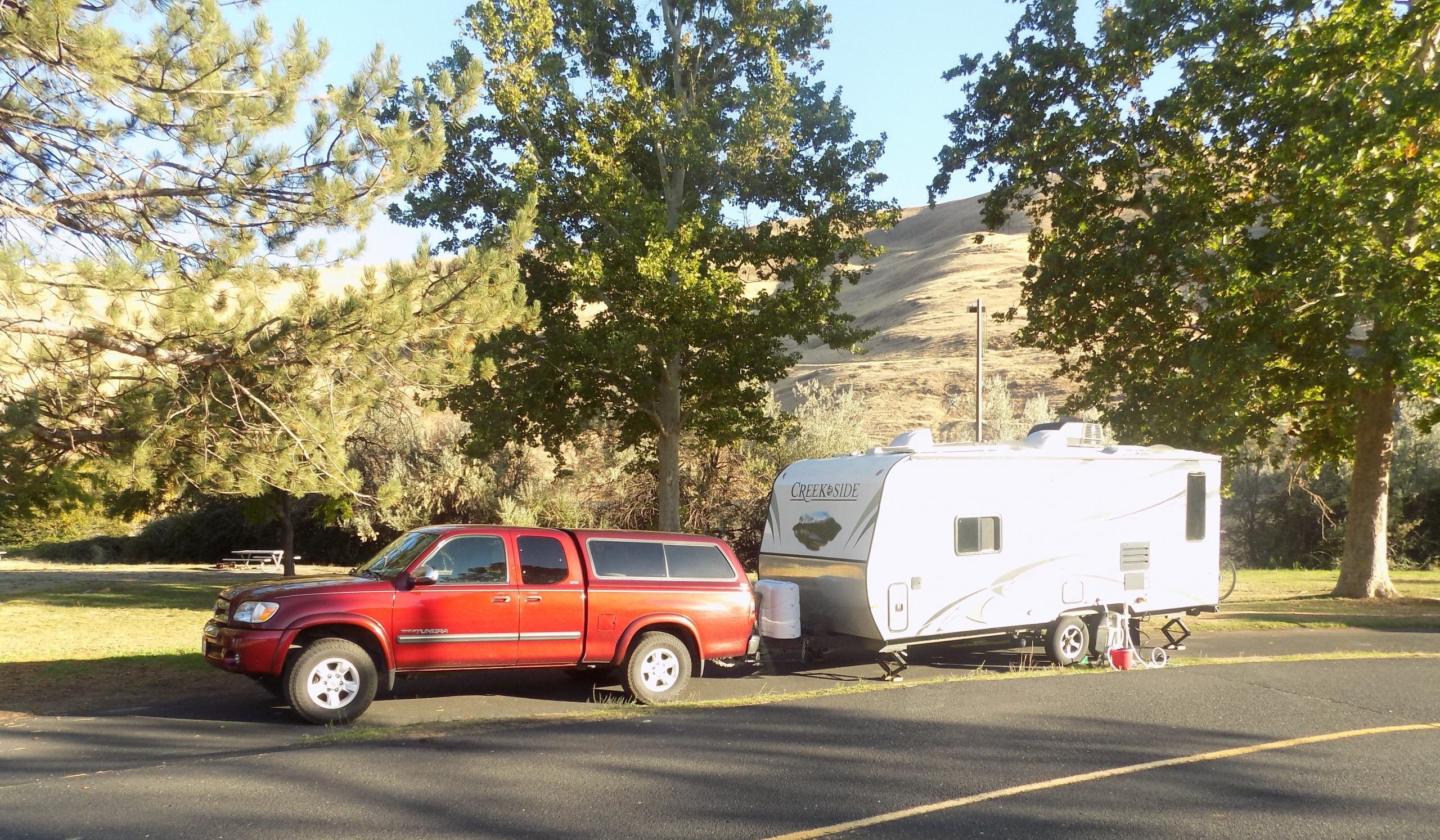
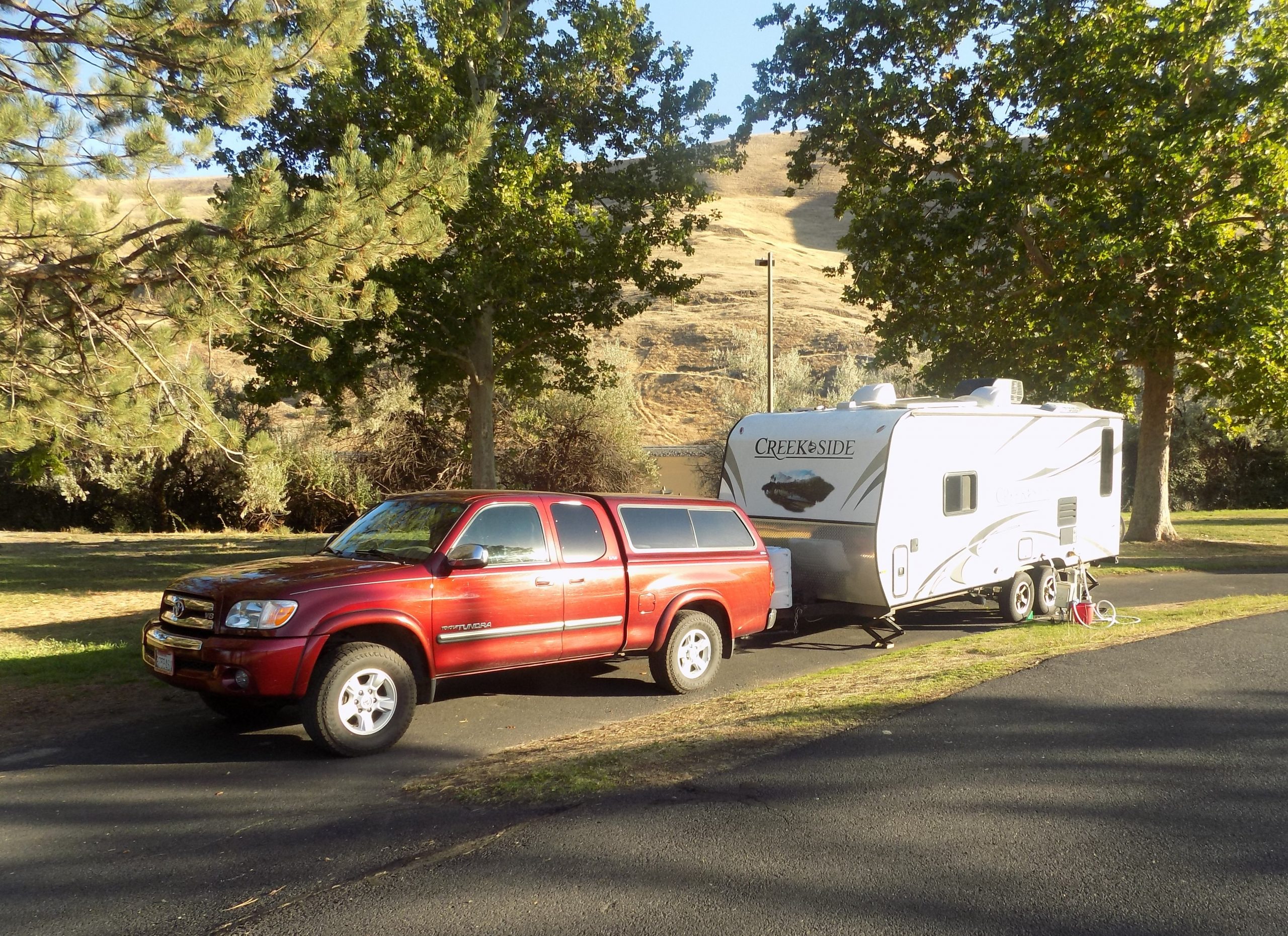

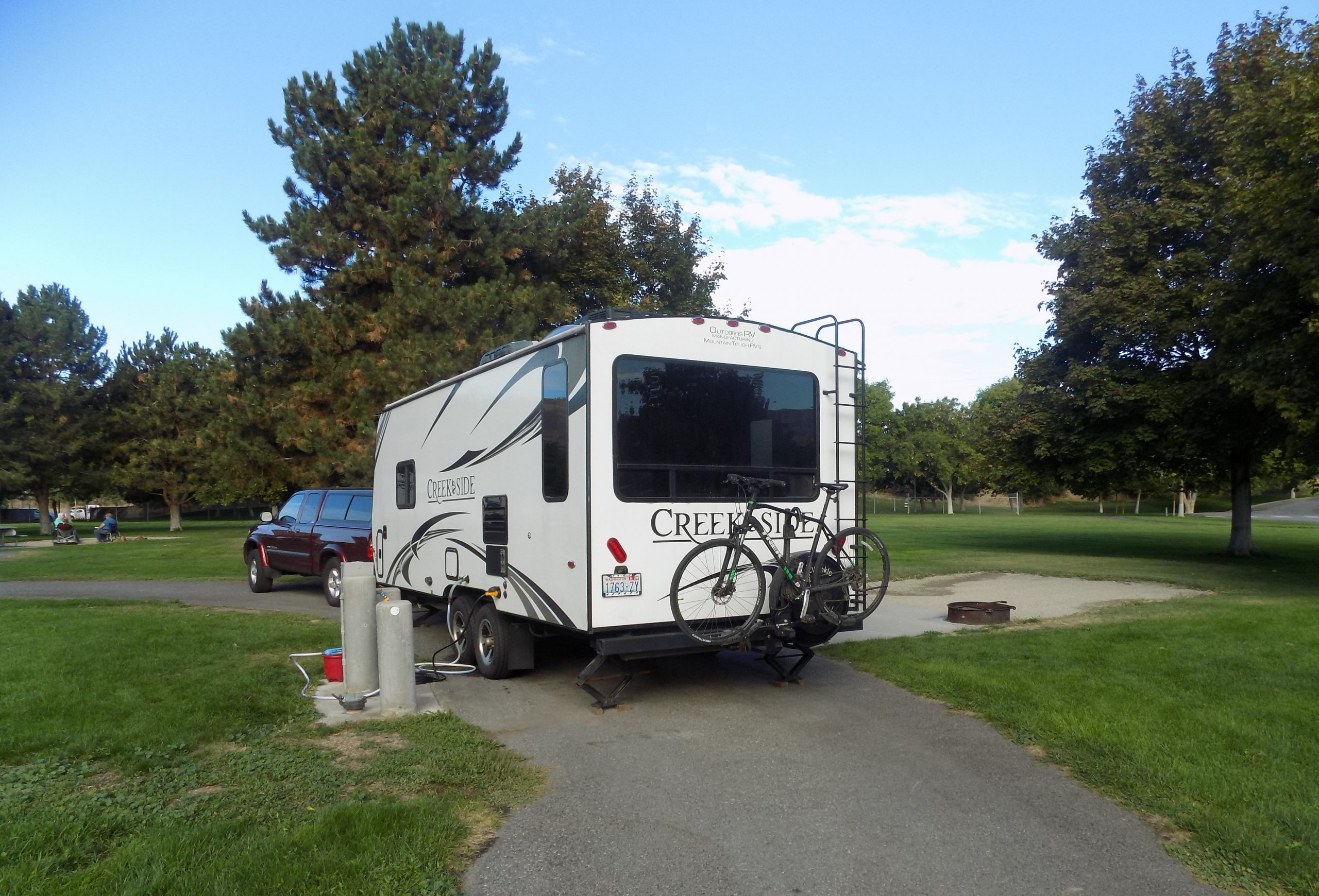
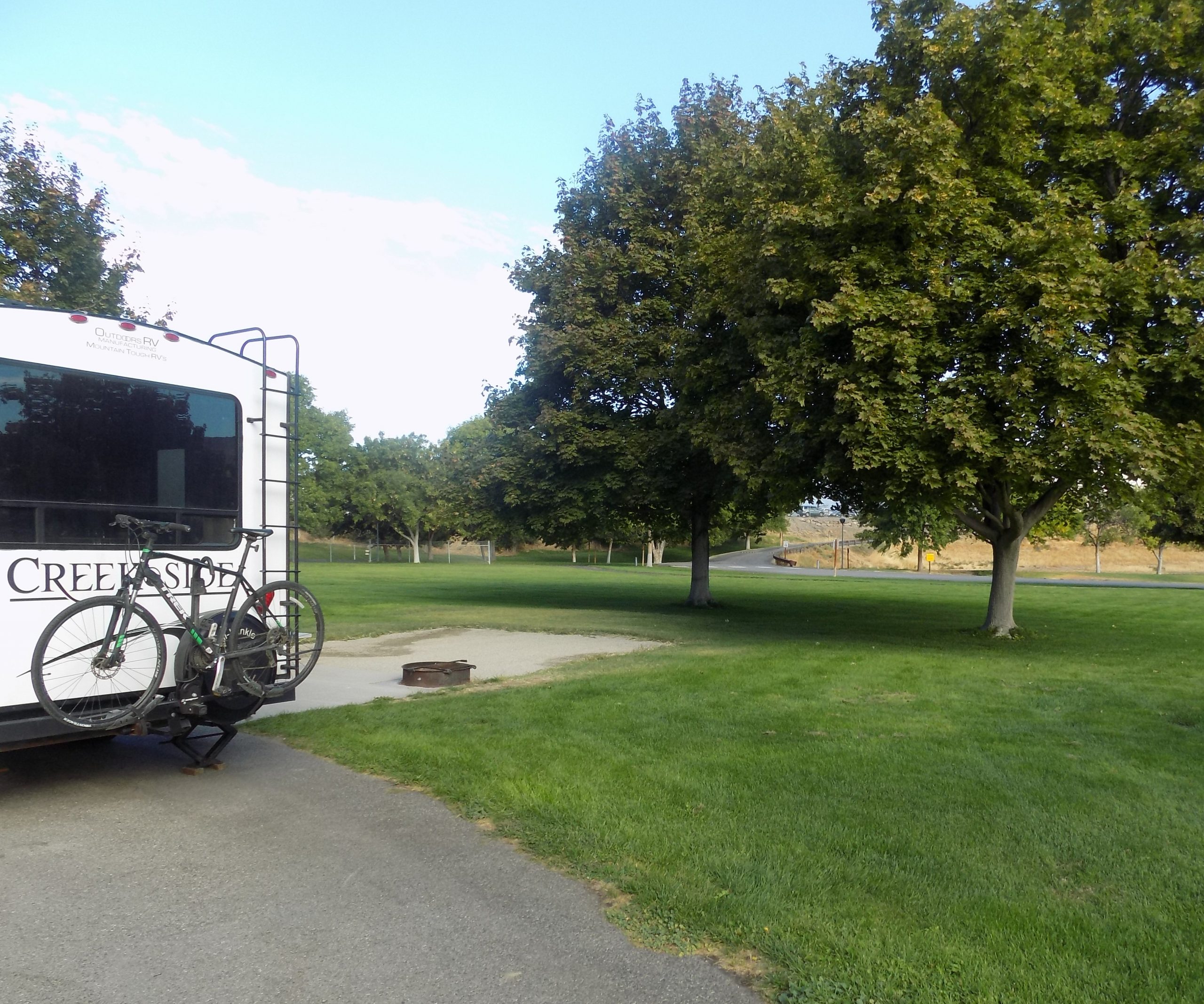
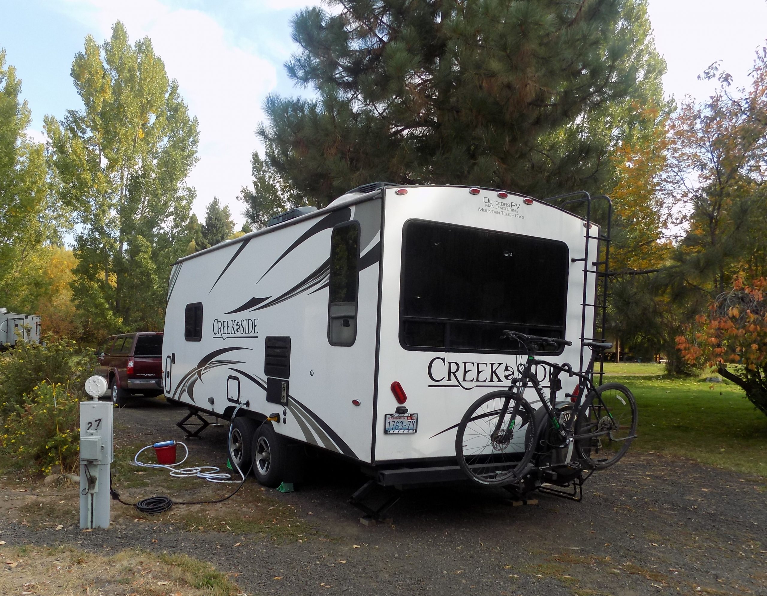
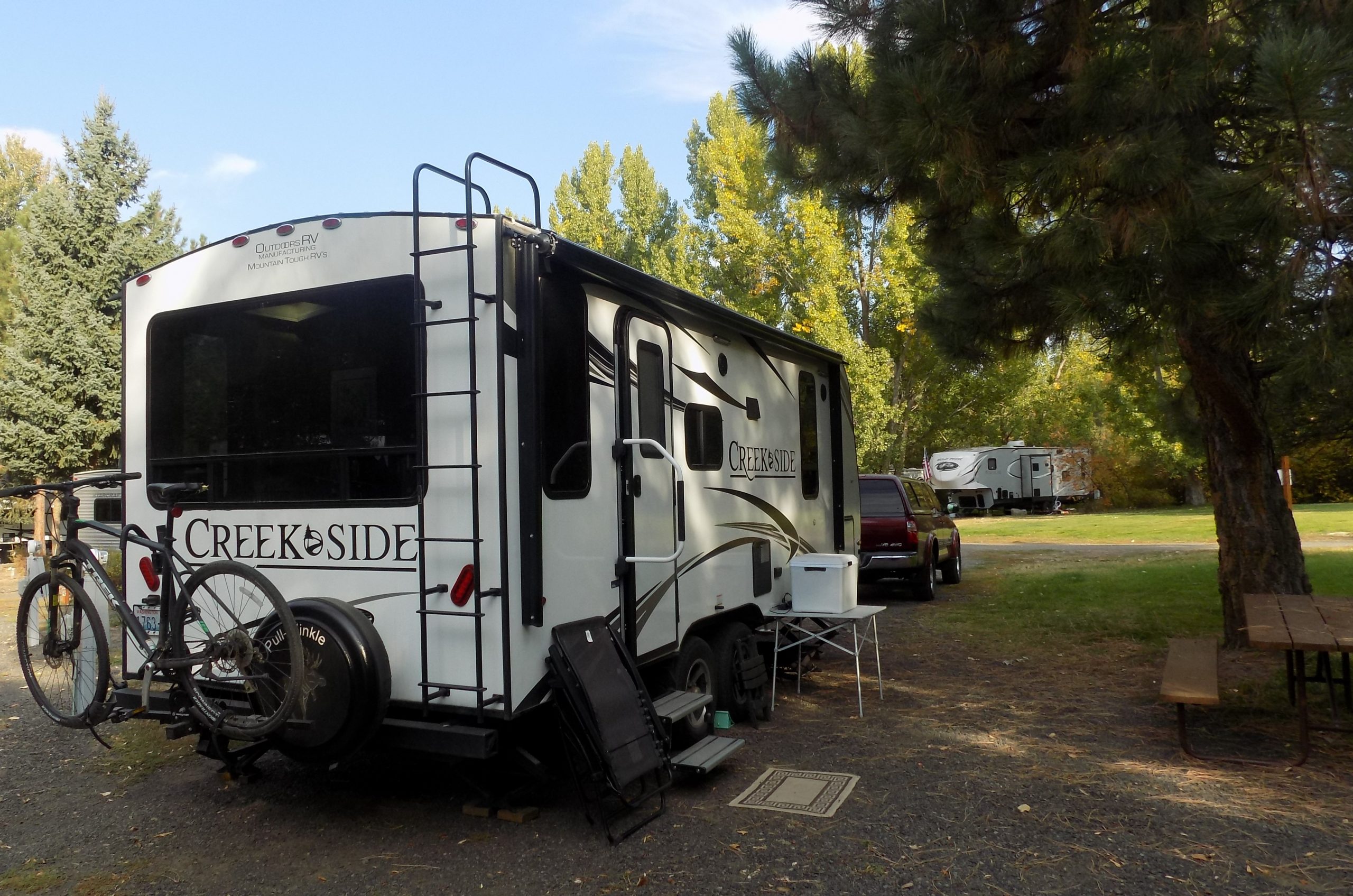
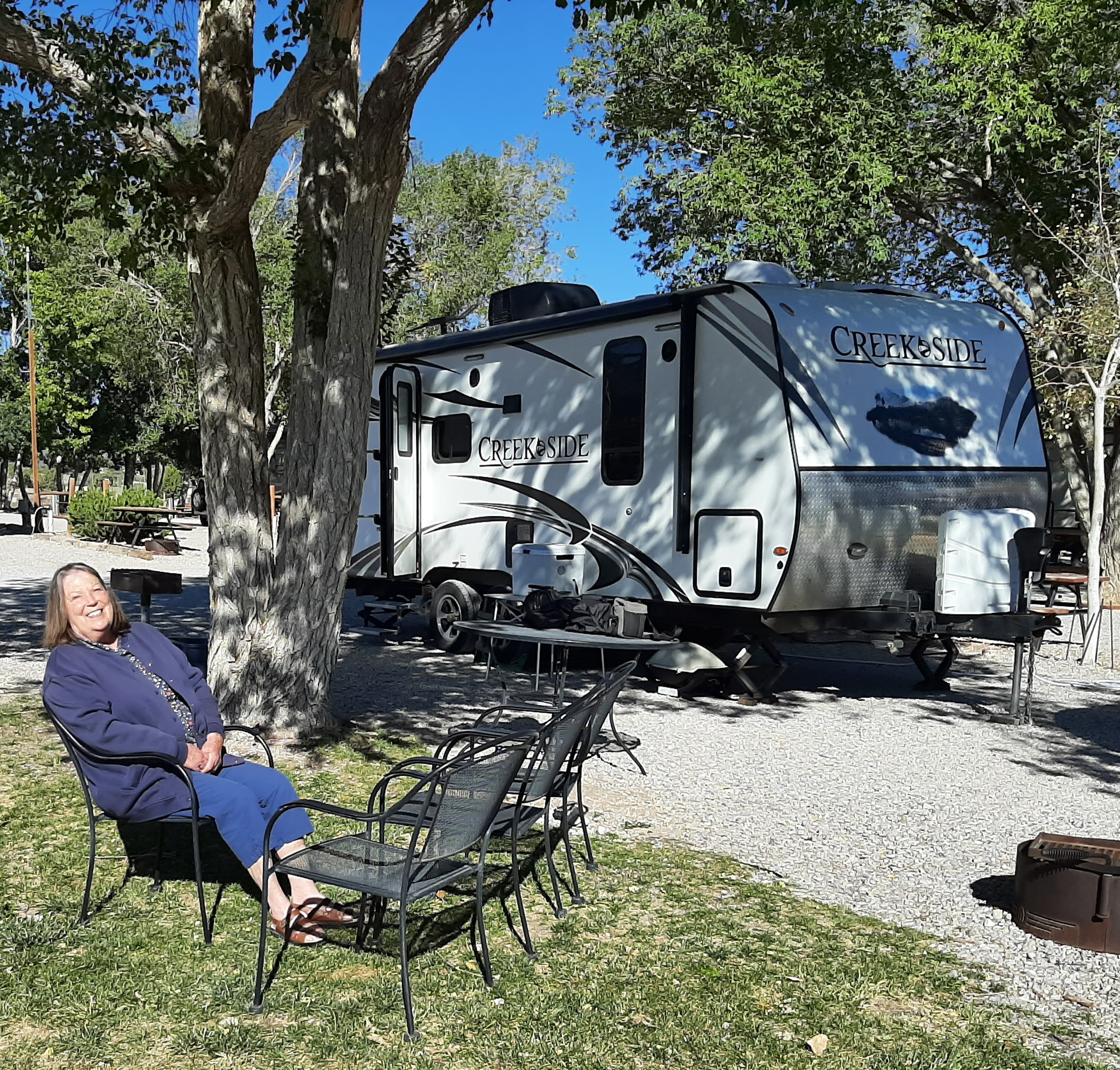
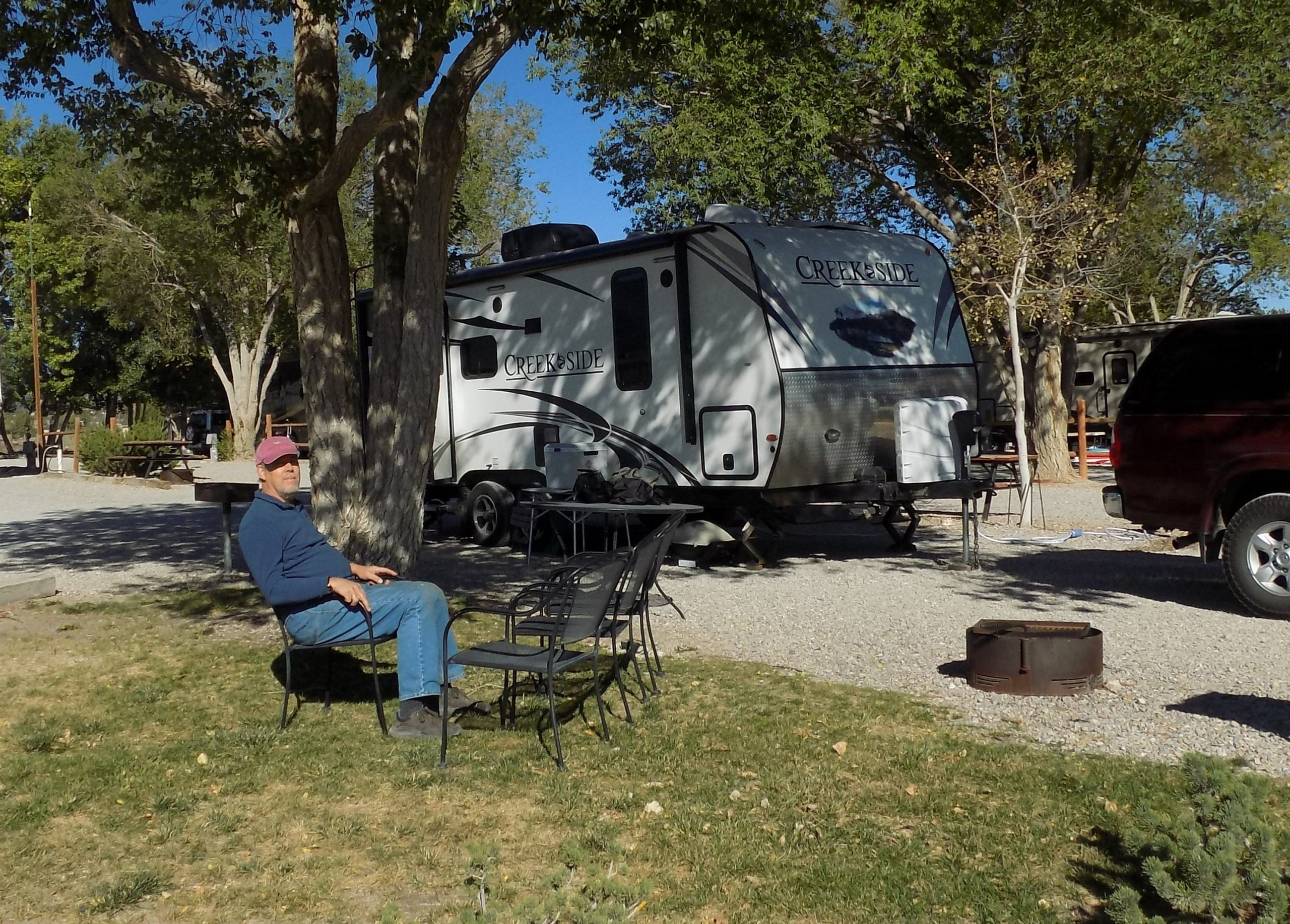
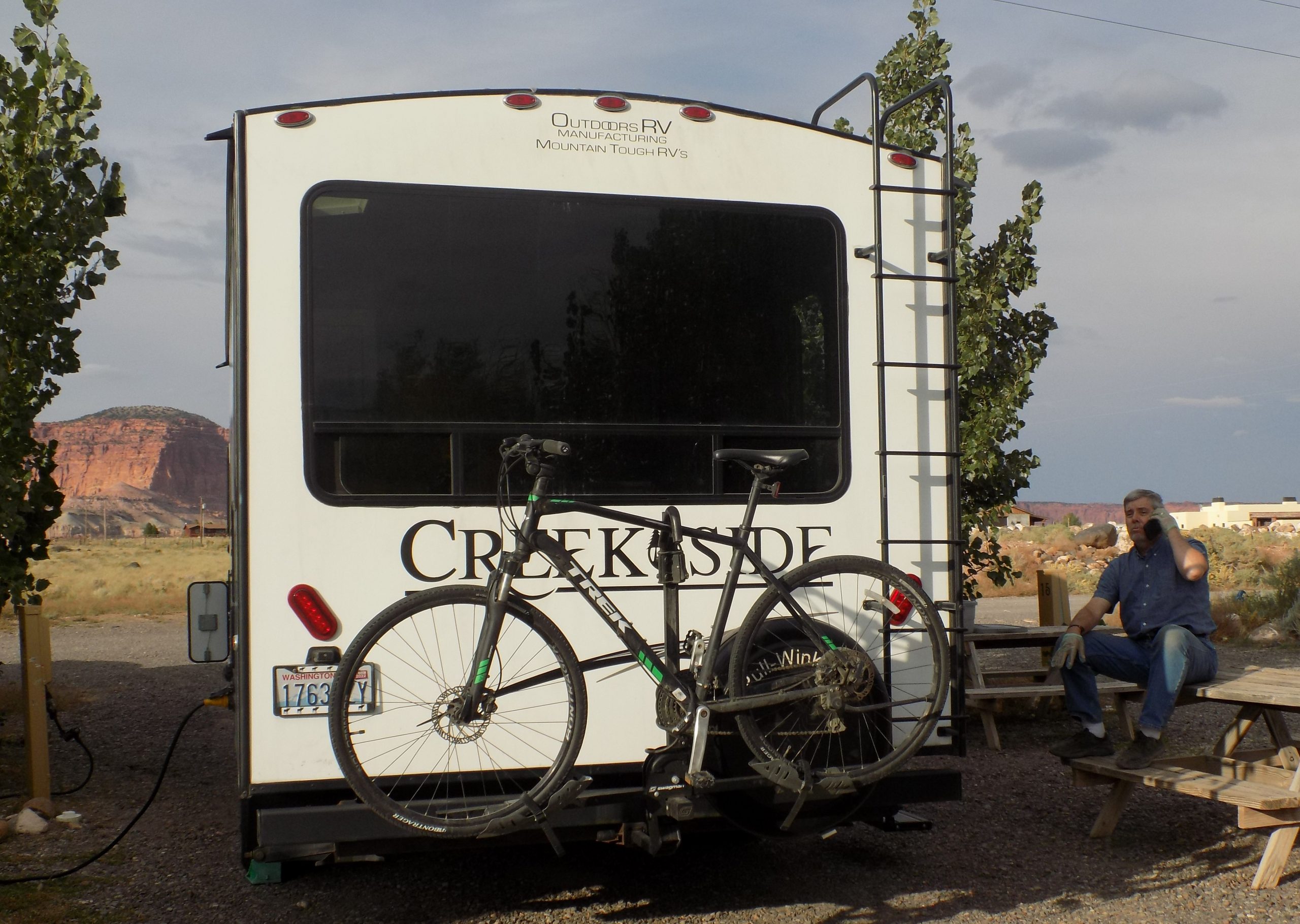
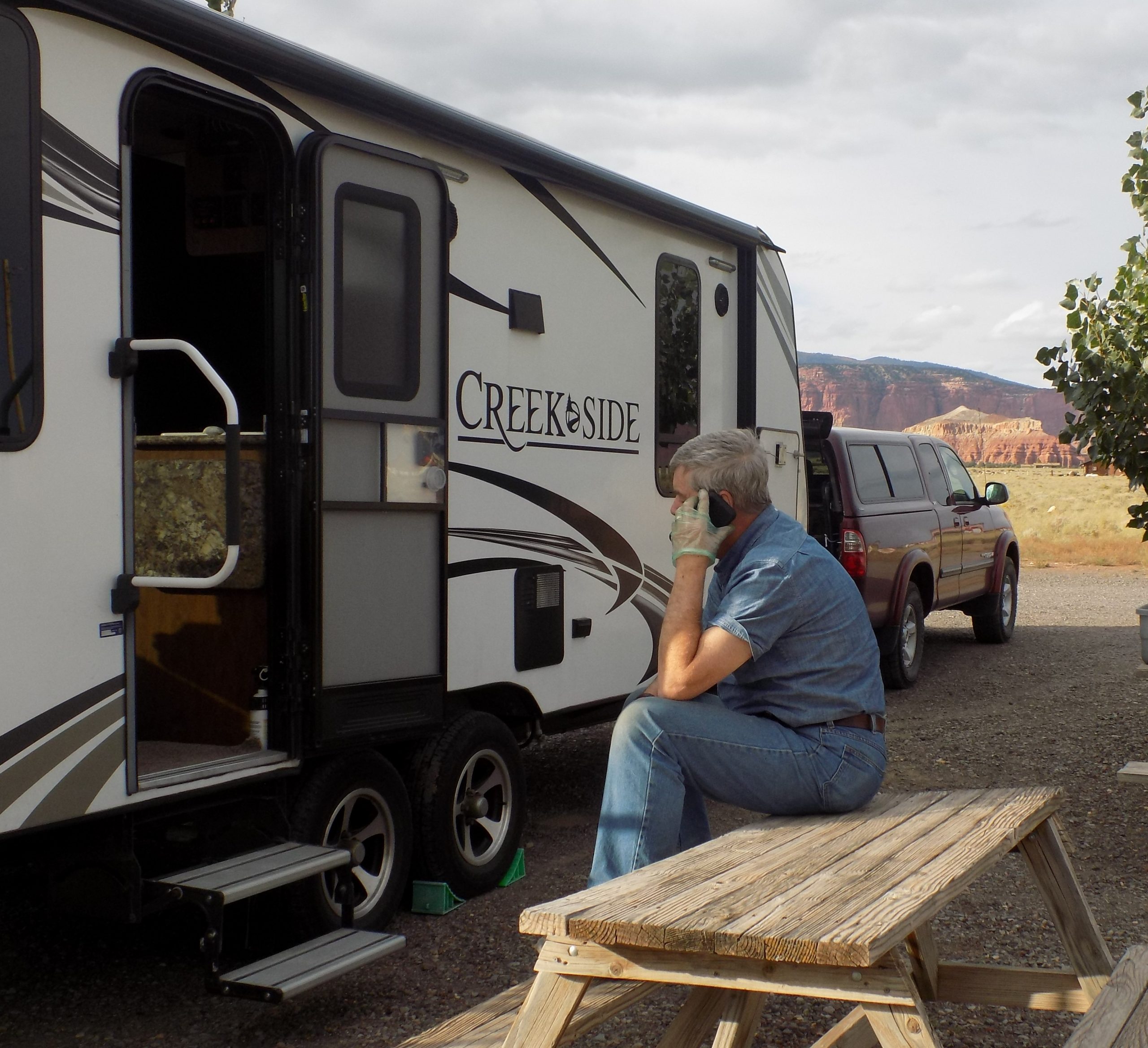
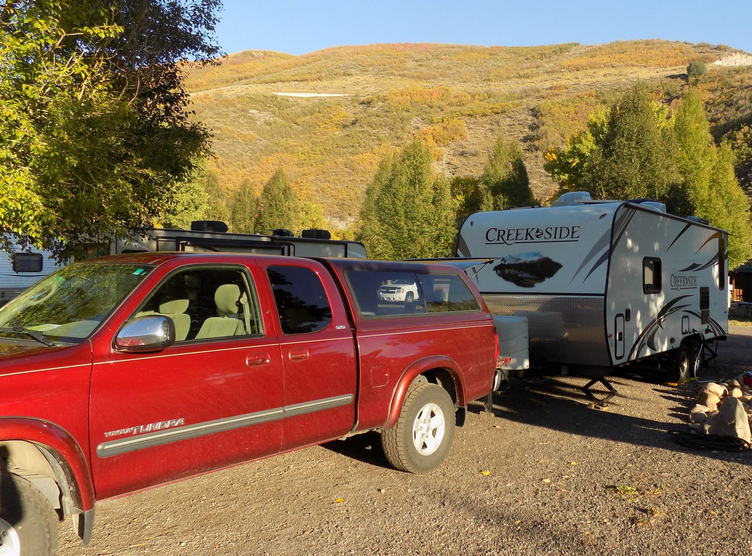
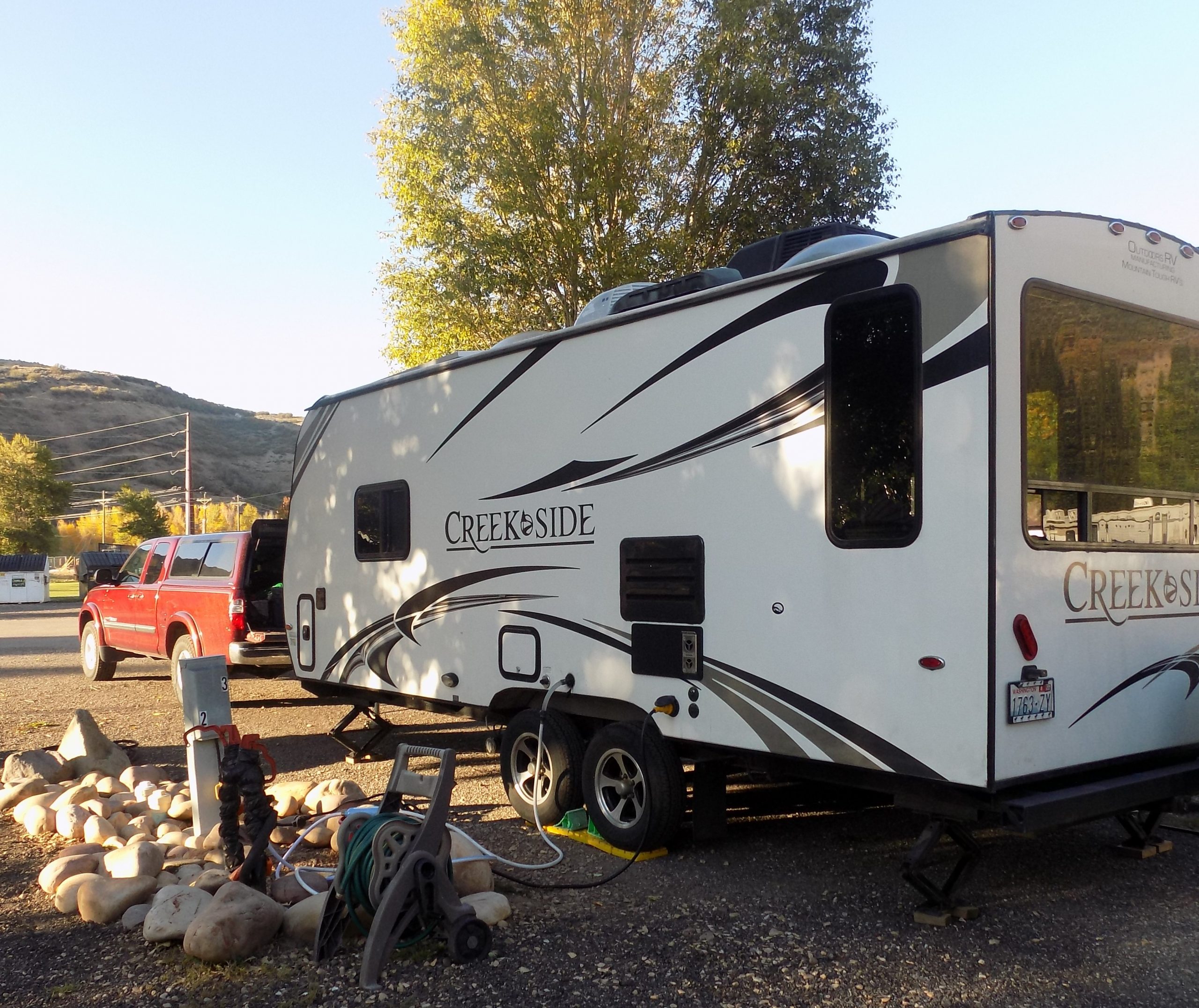
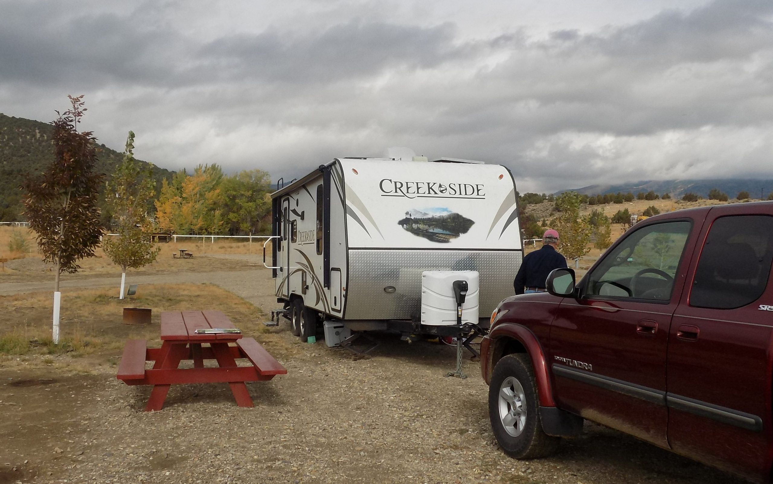
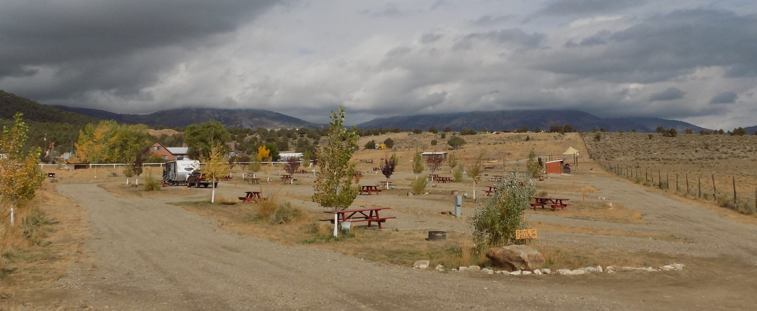
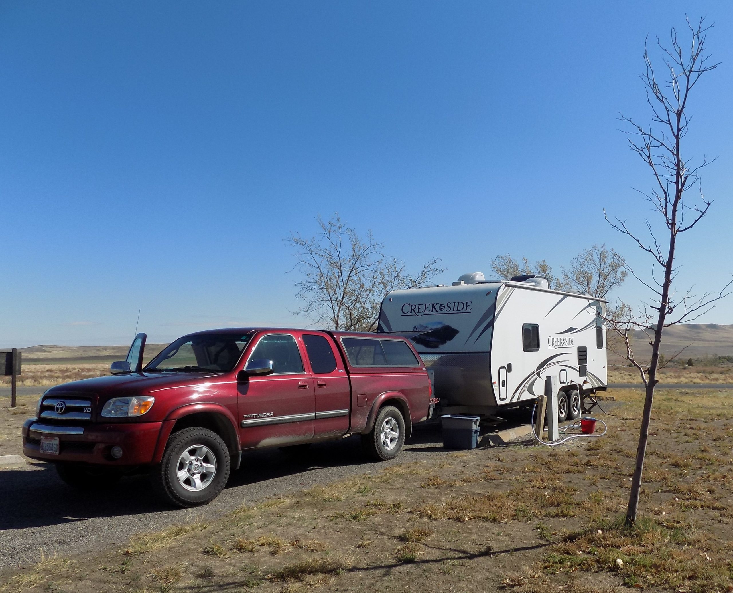
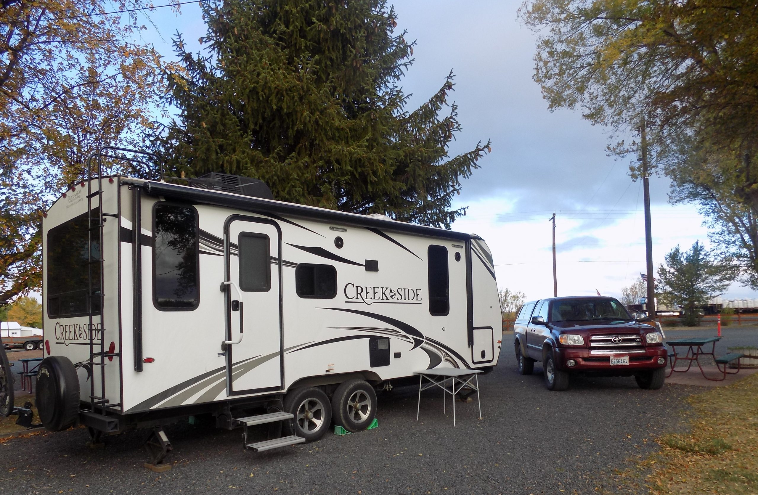
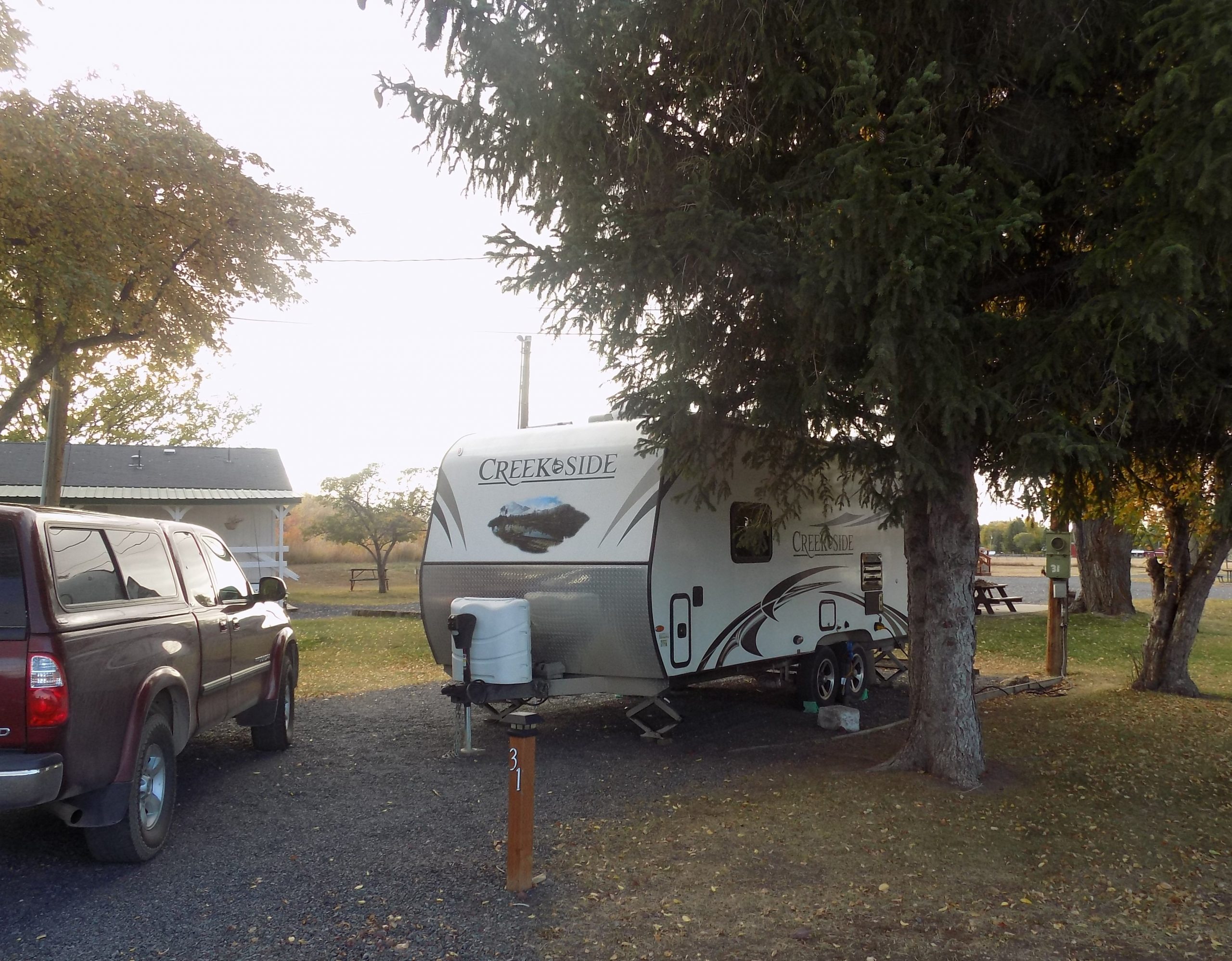
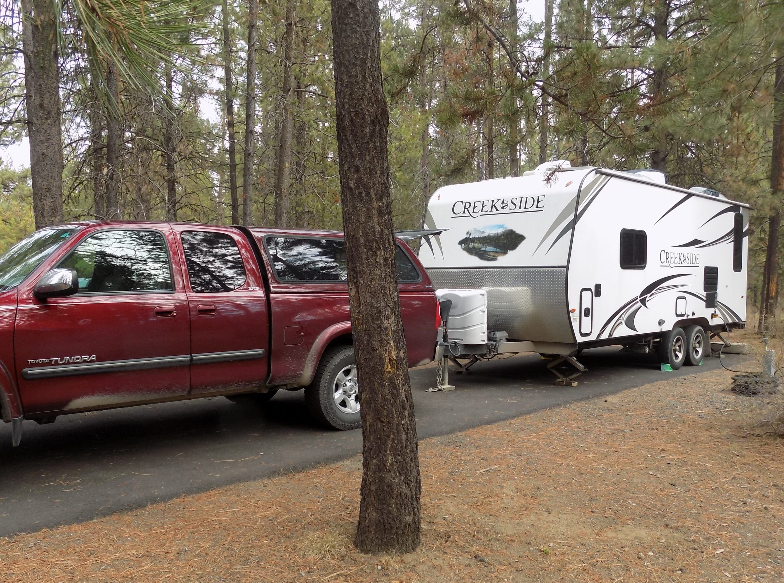
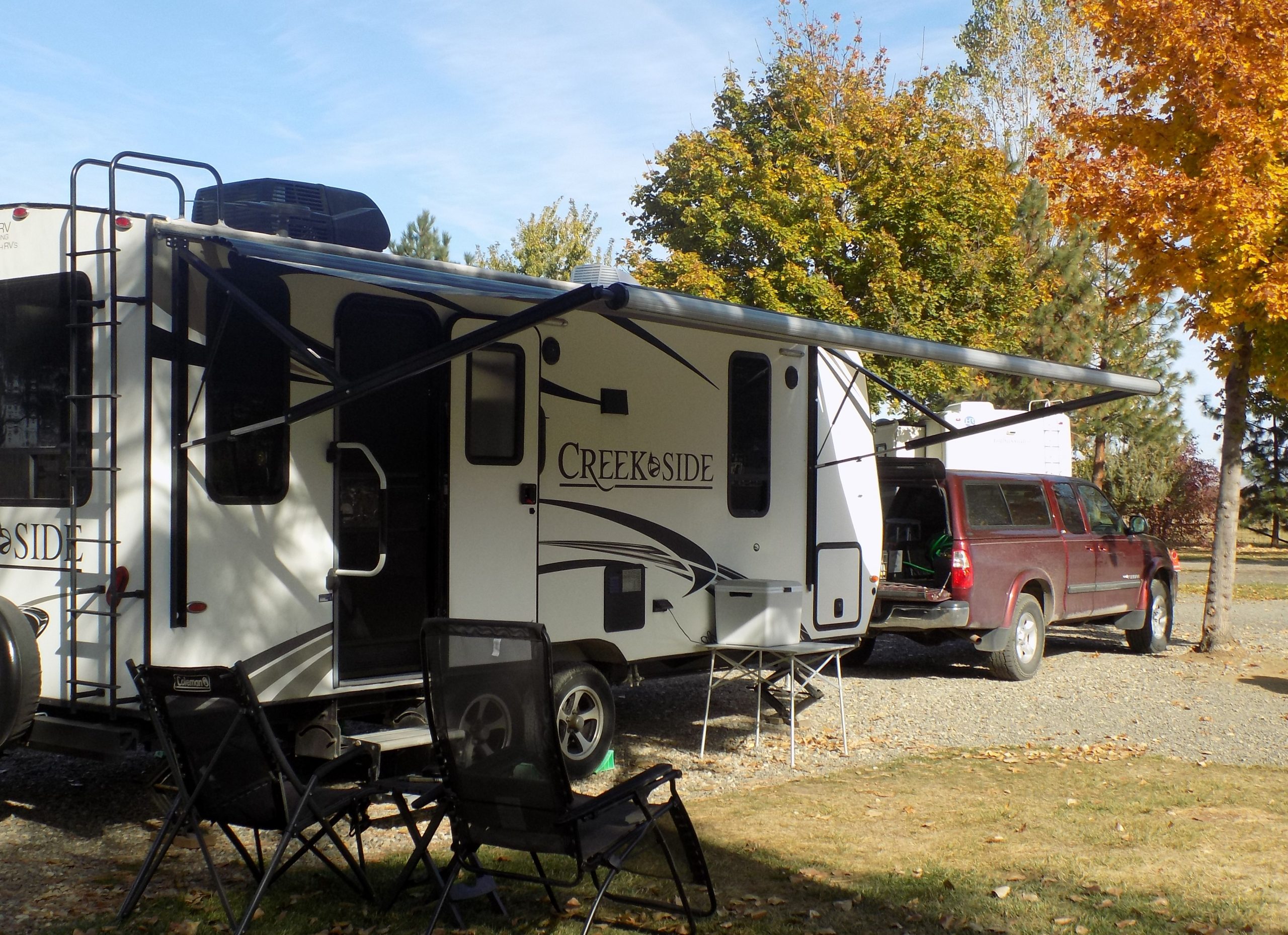
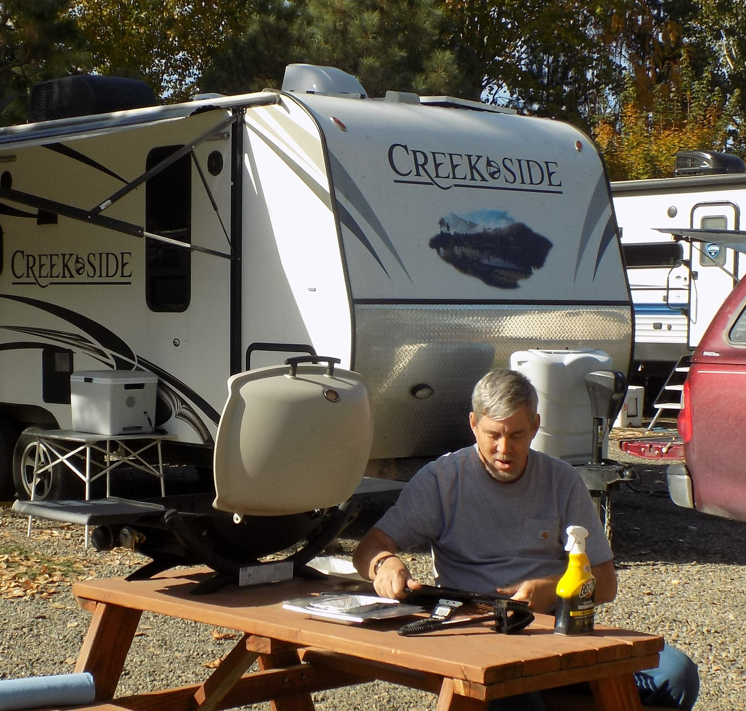
Friday, September 24, 2021 – Creekside RV Park & Campground, New Meadows, Idaho – site 27
After a leisurely breakfast, we headed out towards our next destination. About an hour into our drive the “tire pressure” light on the truck’s dashboard started blinking at us. (The tire Gods must really be mad at us because we rarely have tire problems, and now the second tire situation has reared its ugly head.) Luckily there was a service center in the next town, so we stopped in their parking lot to see which tire was unhappy. Turns out it was the right front tire. The pressure was down by 4 pounds. So, Andy gave it some air and we started down the trail again.
We stopped after a few miles, and checked the pressure, which was just fine. Meanwhile the dashboard warning signal was still flashing away. So, either we have a real problem that is masked as “just fine” or the gauge on our 2005 Toyota Tundra is being visited by a gremlin. We will see what tomorrow brings. Luckily, we were close to McCall, Idaho, so, if necessary, AAA could jolly well bring their little truck to us and fix the problem. Or if need be, we could go visit Les again and turn the entire problem over to them!
Other than that, our site is nice, and after a safe arrival drink all was just swell with the world. On to more adventures tomorrow.
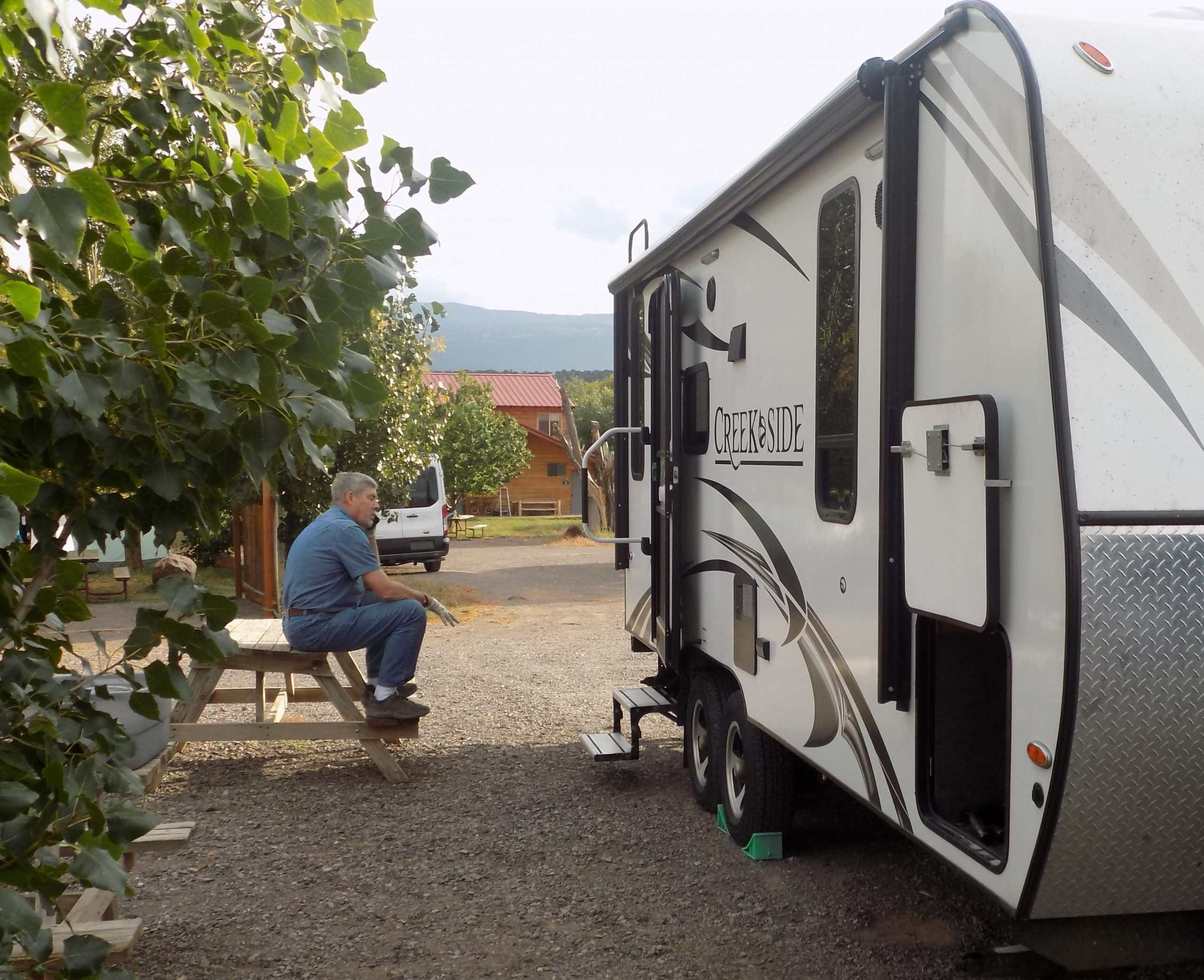
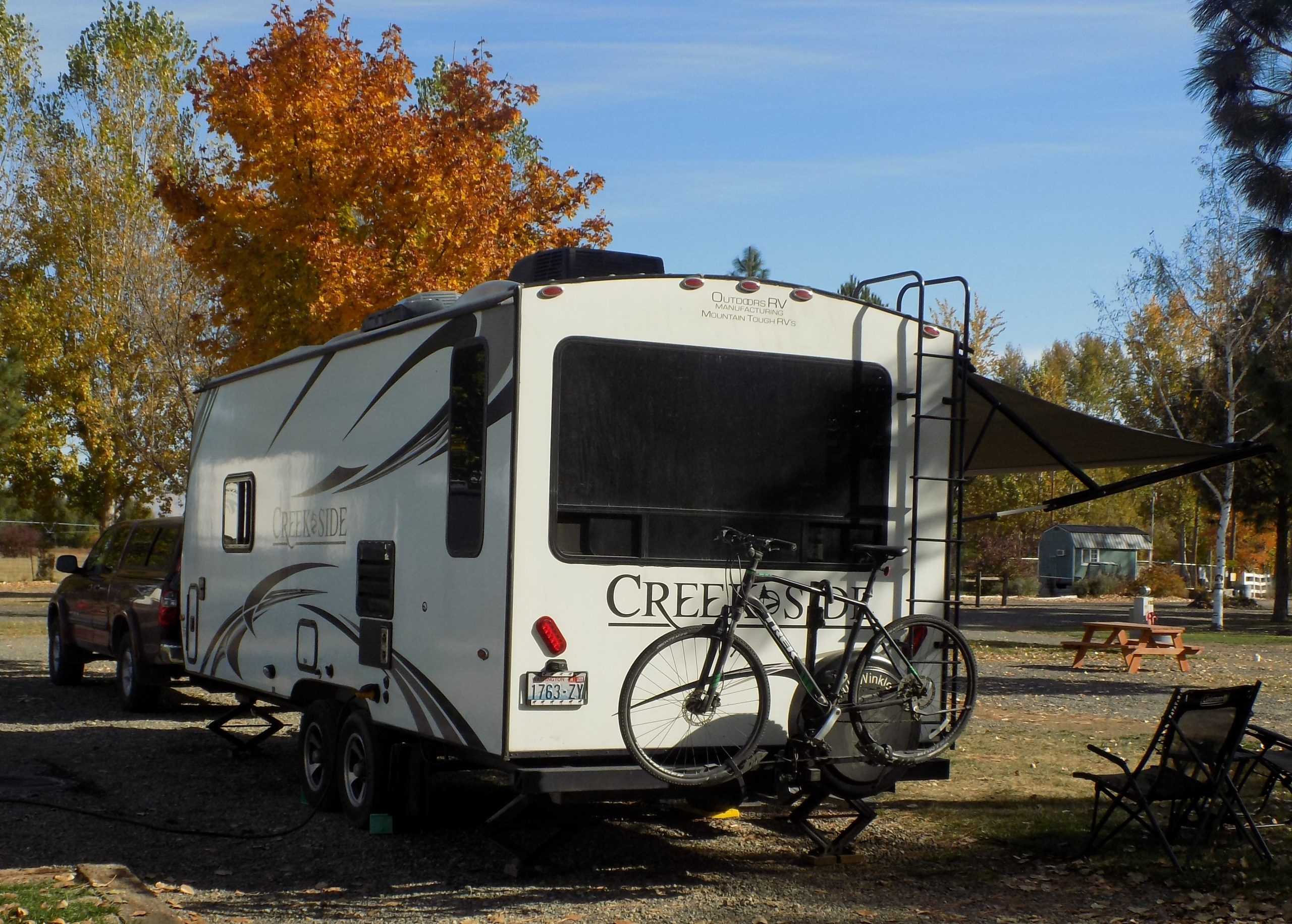
Saturday, September 25, 2021 – Creekside RV Park & Campground
So, the tire pressure was still just fine when Andy checked after breakfast, but the flashing alert light was still happily out of control. So, we decided to go into McCall and visit the Les Schwab center.
I am beginning to wonder if we shouldn’t buy stock in LS, because we are spending more and more time with them, and they are always slammed. But nice, and helpful, and ready to deal with numerous bizarre problems and not even bat an eyelash. So, after 90 minutes, we had two new tire pressure sensors and the blinking signal (give the word “blinking” any meaning you wish) on our dashboard finally decided all was well and retired back into darkness. And the tire was just fine!
Now if you have never been to McCall, Idaho, you should definitely plan a visit. McCall is a beautiful little tourist town on Payette Lake. We had stayed at Ponderosa State Park last time we were here, but this time when I tried to book a site, they were totally full. And with good reason. It’s a lovely campground. But I kind of like where we ended up. It’s quiet and perfect for relaxing and having some quality time with a book.
When we got back from picnicking at Ponderosa SP and doing a bit of grocery provisioning and gas tank filling, it was back to camp around 4:00 pm. Since we were just over the line into mountain time and there was plenty of time before sunset, Andy decided to hit a little round ball for 9 holes at a local golf course. Since there was no one in the office, he was able to play free of charge. Some fun and only 2 balls left for the locals to retrieve.
Then a lovely dinner of curry and salad, reading and writing, and a nice silent night of undisturbed slumber. Tomorrow on the road to Glenns Ferry, Idaho.
Sunday, September 26, 2021 – Three Islands Crossing SP, Glenns Ferry, Idaho – site 71
After a prolonged morning of breakfast and general laziness, we left camp about 12:00 noon. OK, really it was only 11:00 PST, so not as bad as it sounds. We choose a new route from New Meadows to Payette, highway 95, which I would recommend to anyone. Nice scenery, and not too many cars.
Arrived at our site, made dinner, and generally did nothing of value. In other words, a lovely evening after a perfect day.
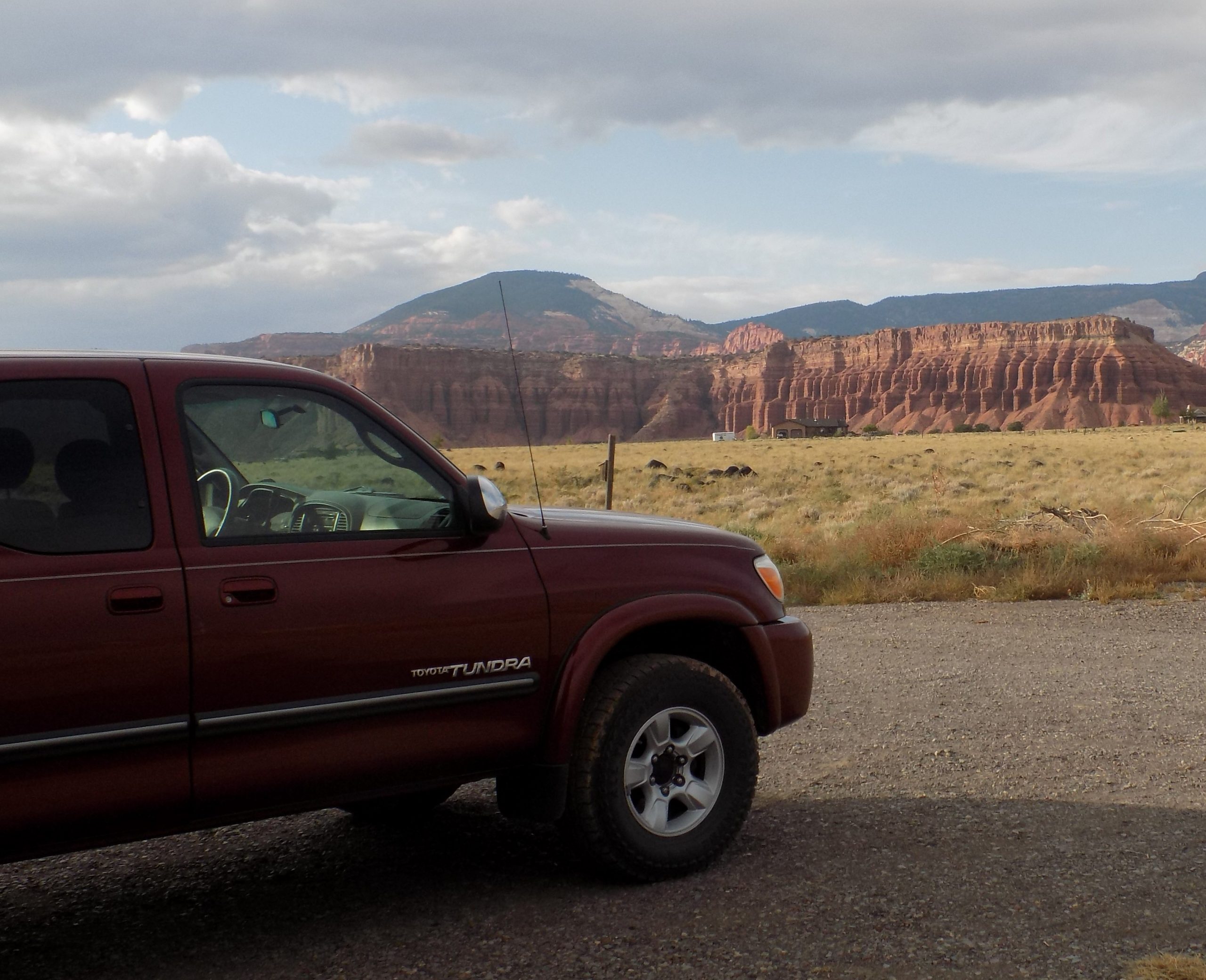
Monday, September 27, 2021 – Angel Lake RV Park, Wells, NV – site 24
After showing our trailer to some nice folks from the Boise area who want one just like it, we finally got on the road. We decided to follow the scenic routes as much as possible. So, we started out on 84 south until we branched off in Bliss (does not live up to its name) onto US 30. Then on to 93 south between Filer and Twin Falls and into Nevada through the casino richly endowed city of Jackpot. (It also does not live up to its name!)
Highway 93 turned out to be a nice road complete with a long and time-consuming section of road work. But what really caused the lengthy delay, was a horrible accident that happened at the south end of the project. 2 cars were already on tow vehicles, completely mangled. Apparently, a truck and trailer combination hit one of the road maintenance/work trucks and was lying on its side looking like it would take a crane to move it. Police cars everywhere as well as long lines of very unhappy drivers. We didn’t see any ambulances, but given the condition of the two demolished cars, we were certain that some hospitalization must have been warranted.
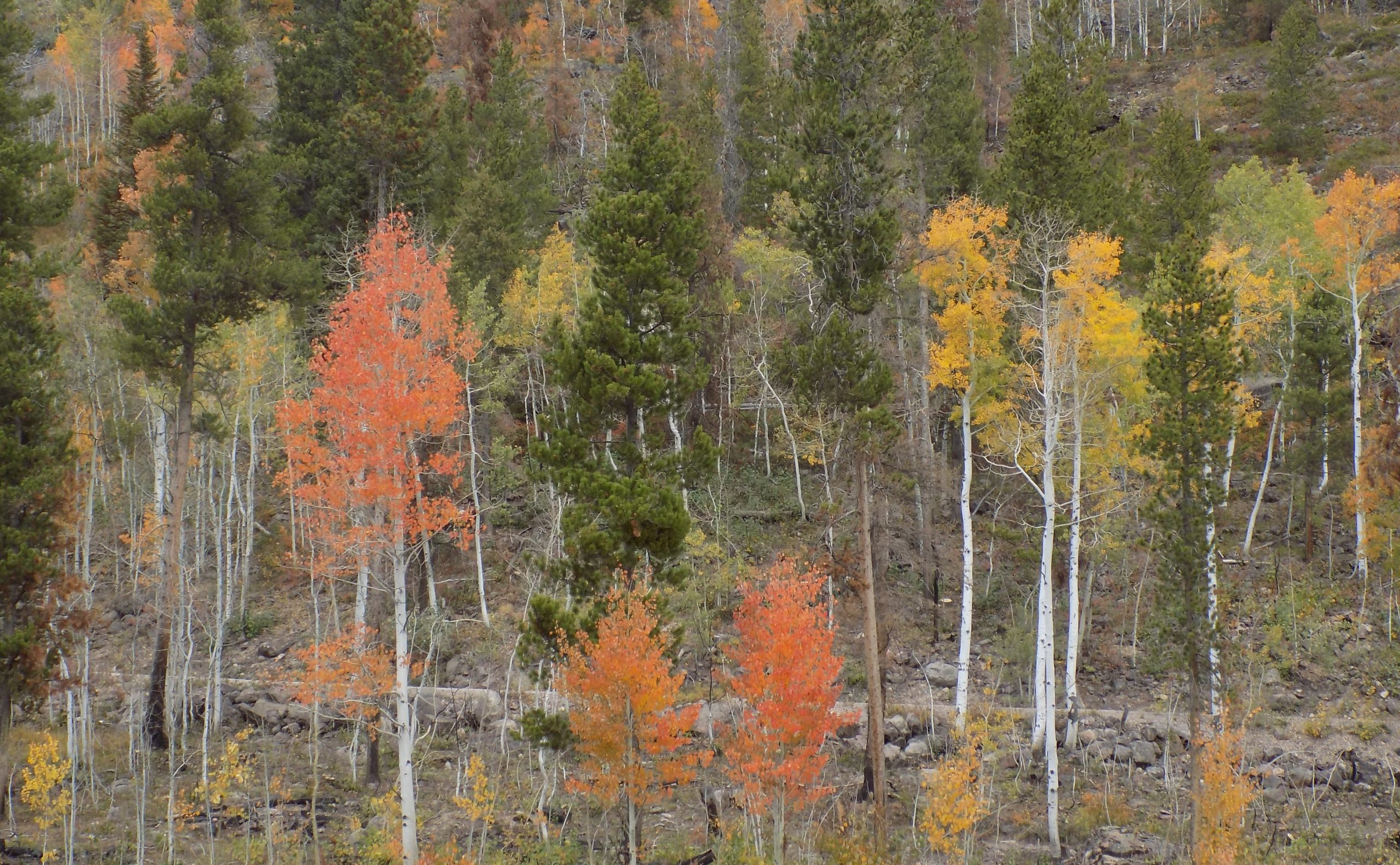
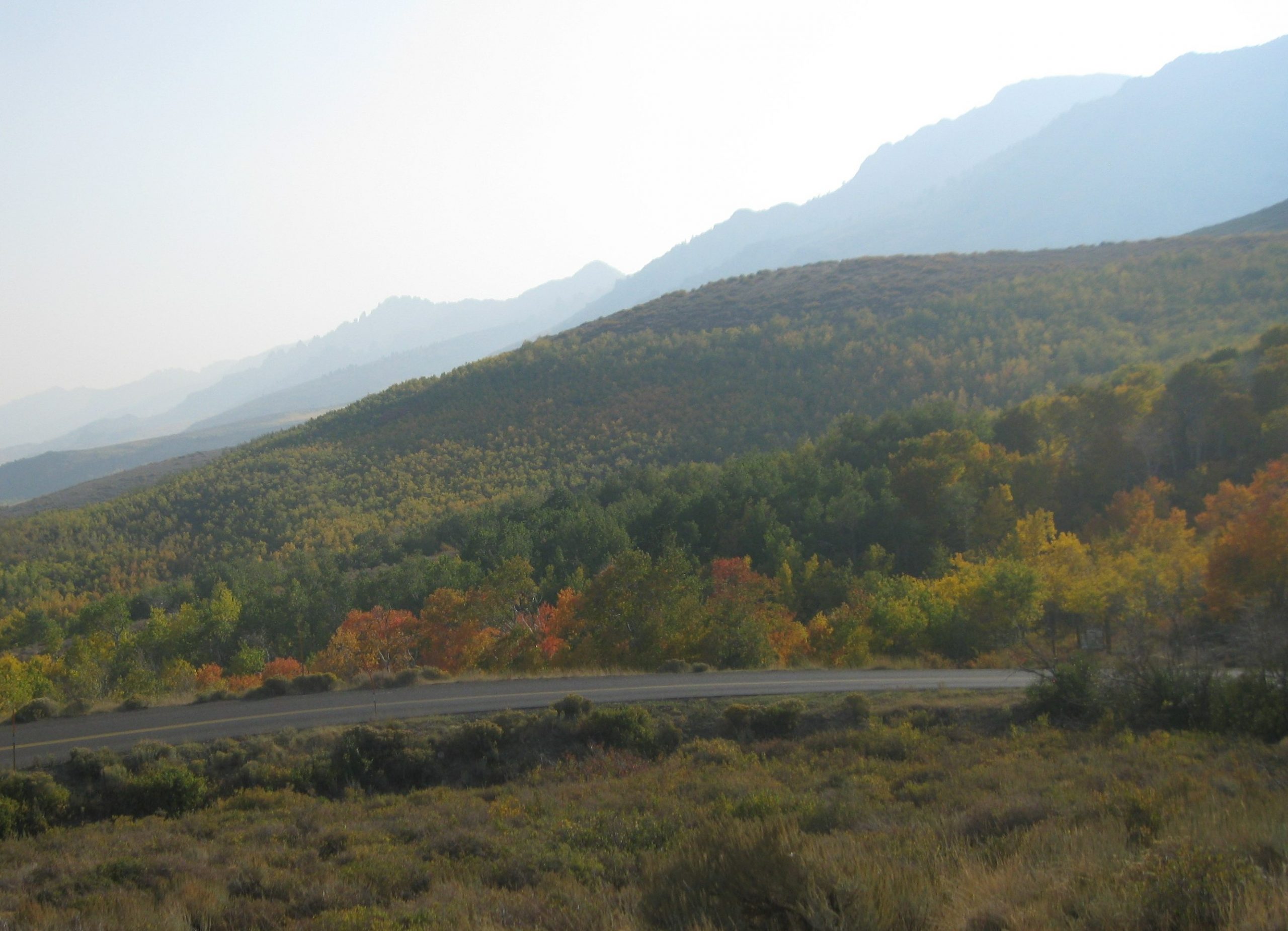
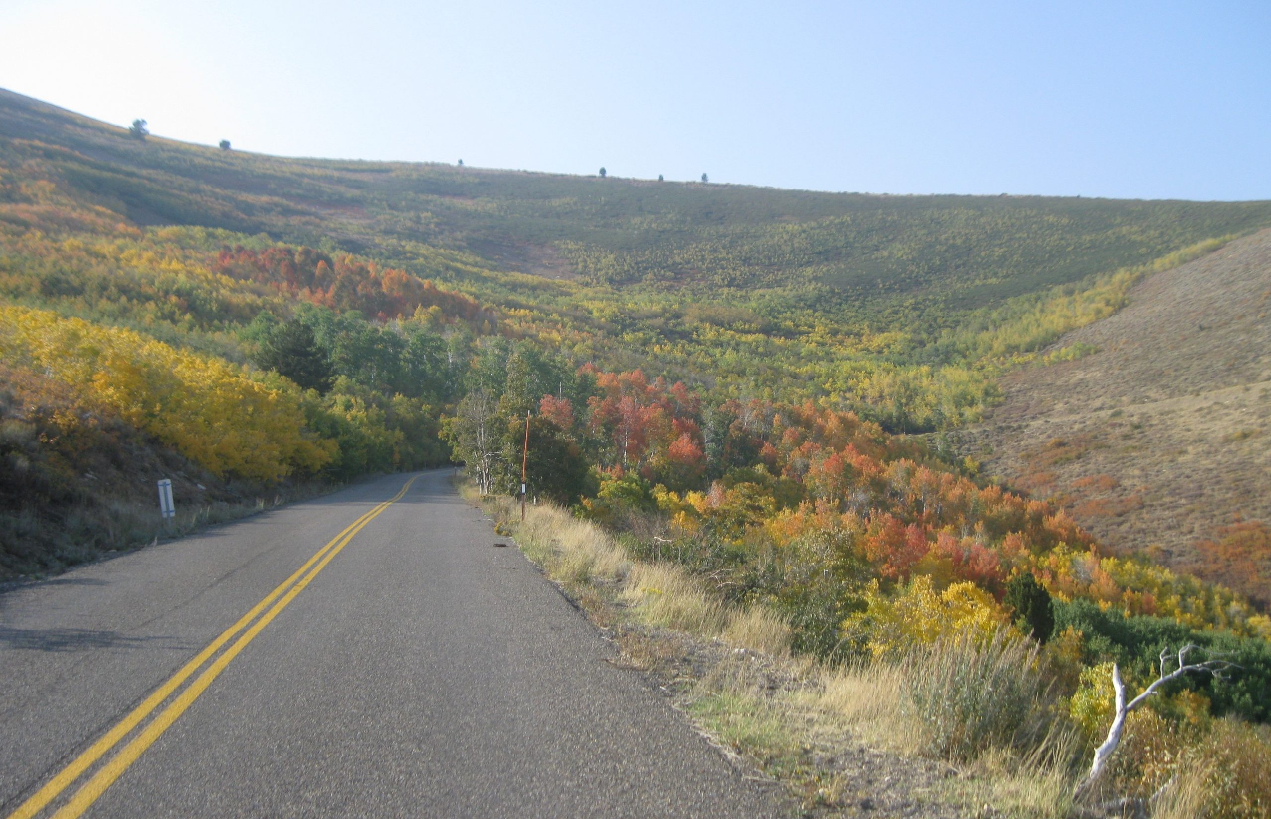
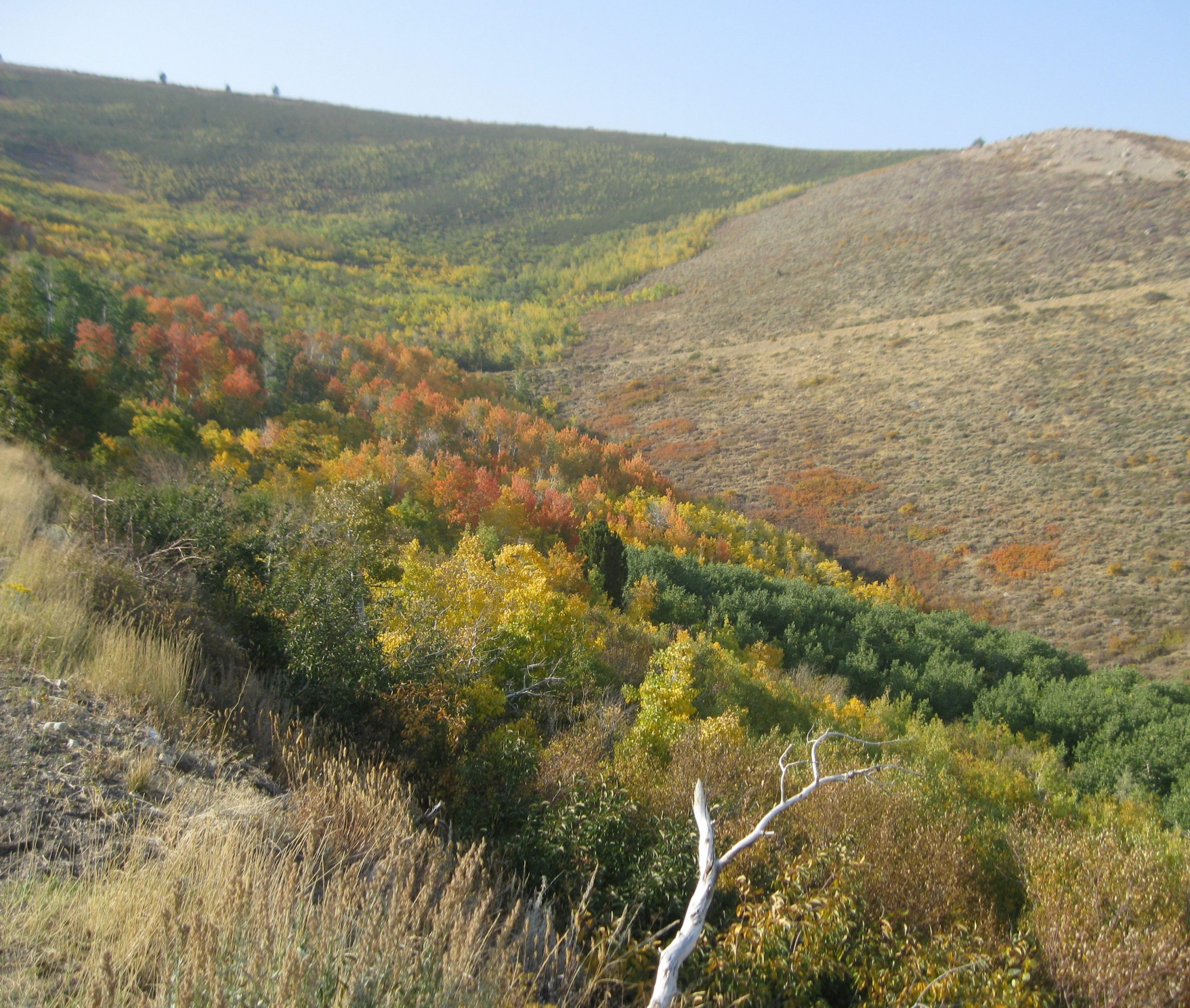
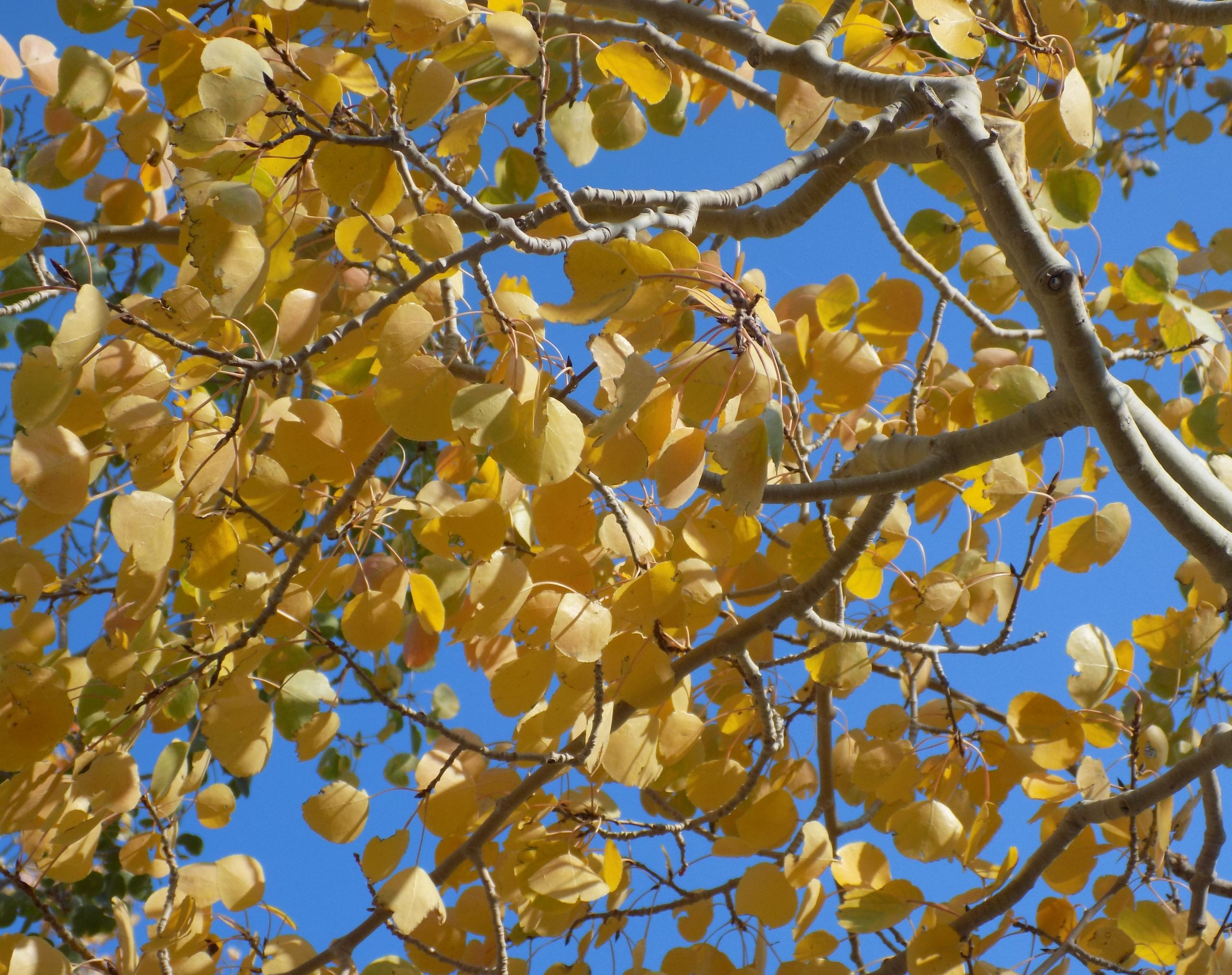
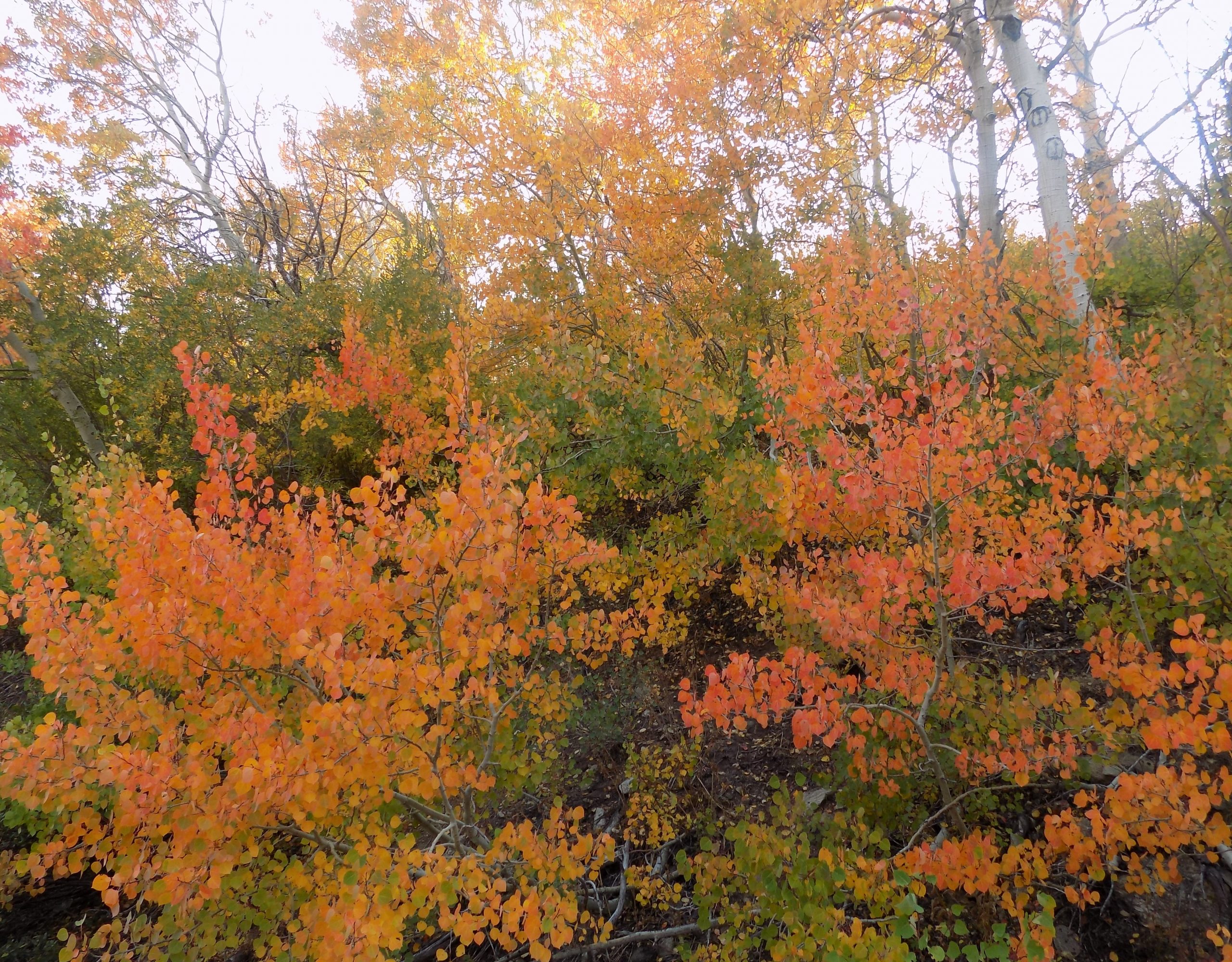
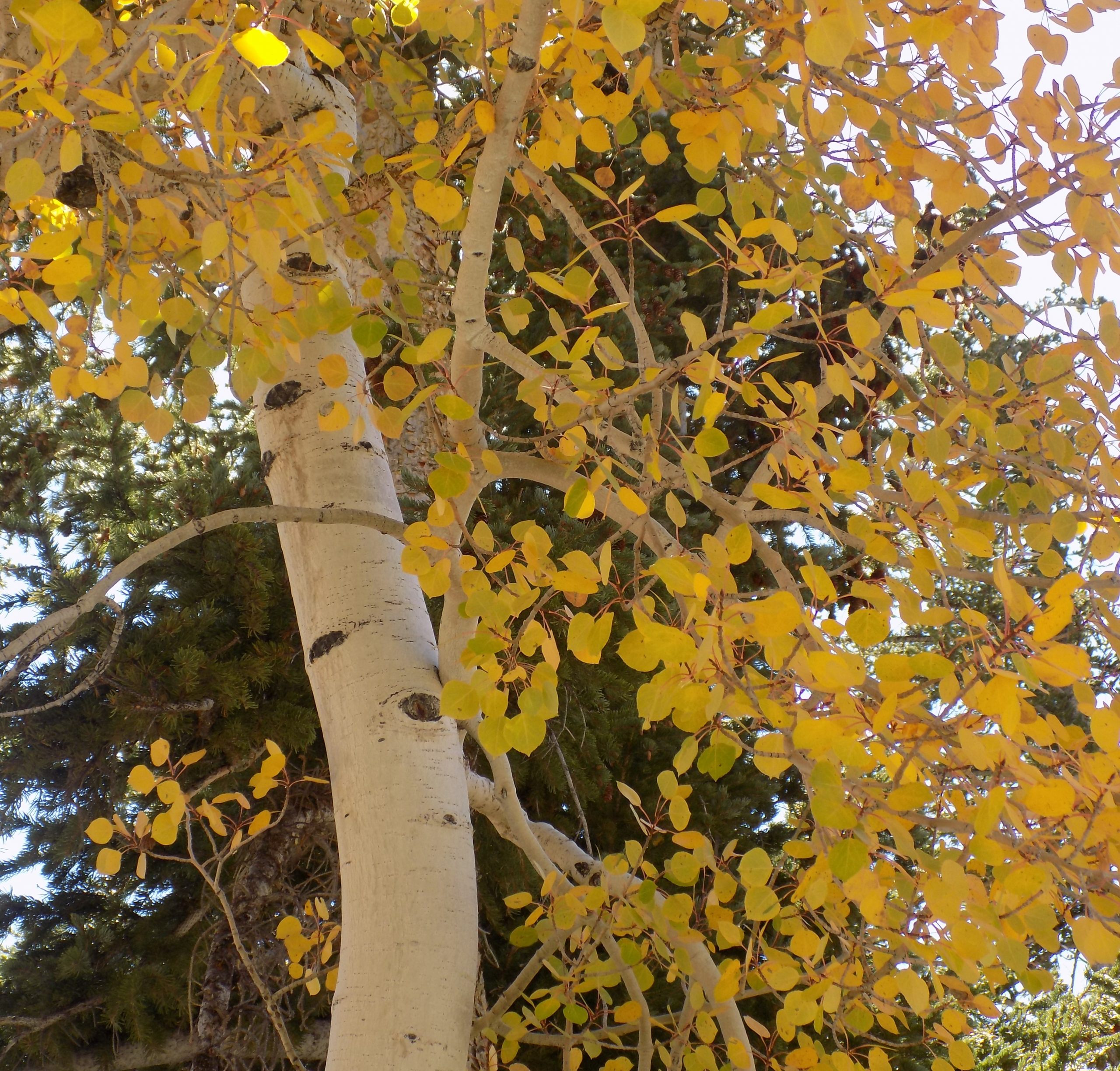
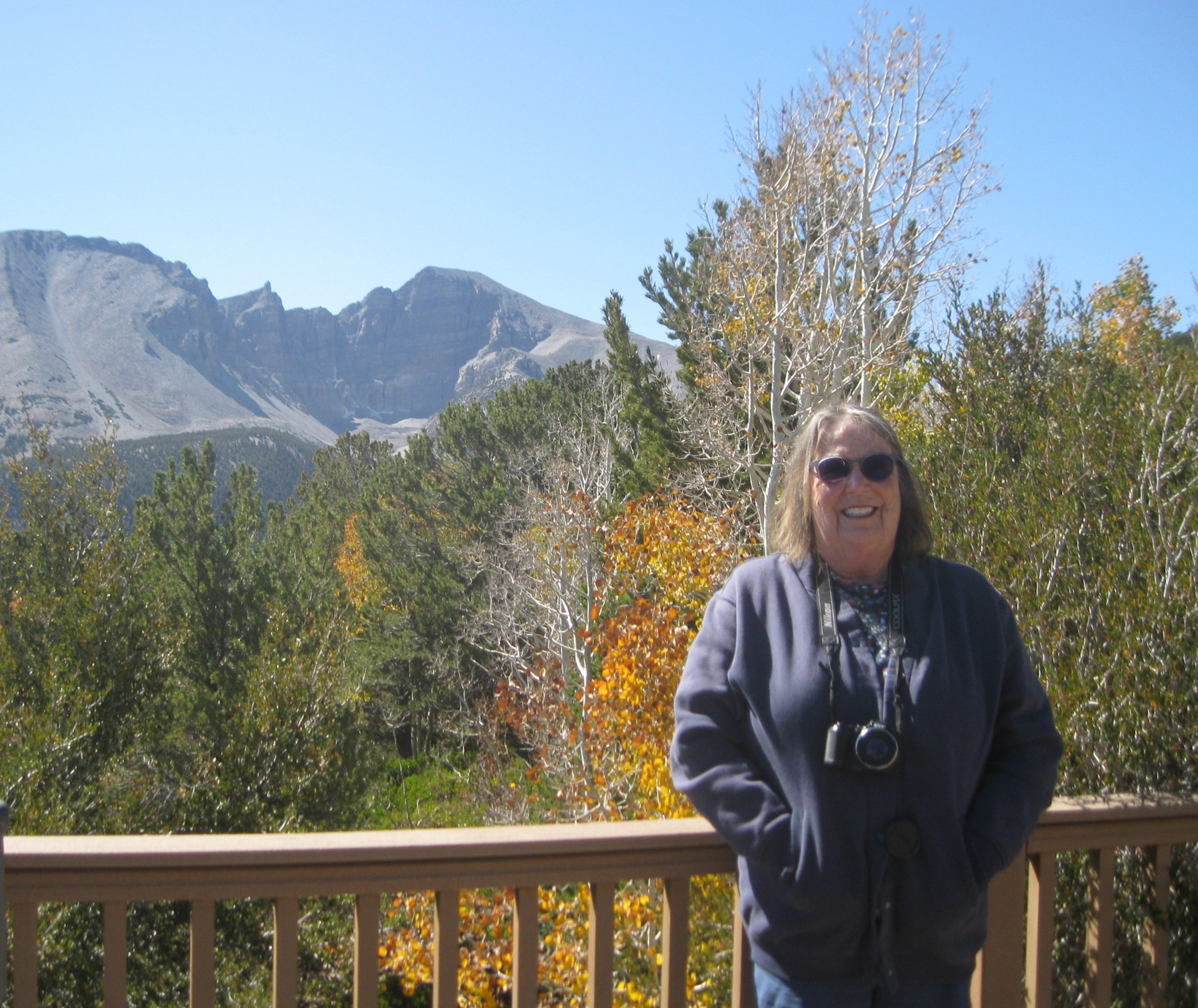
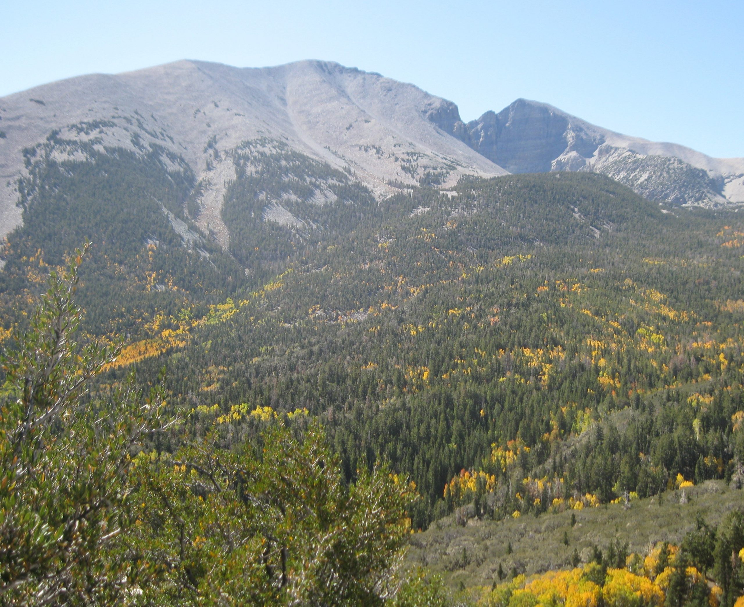
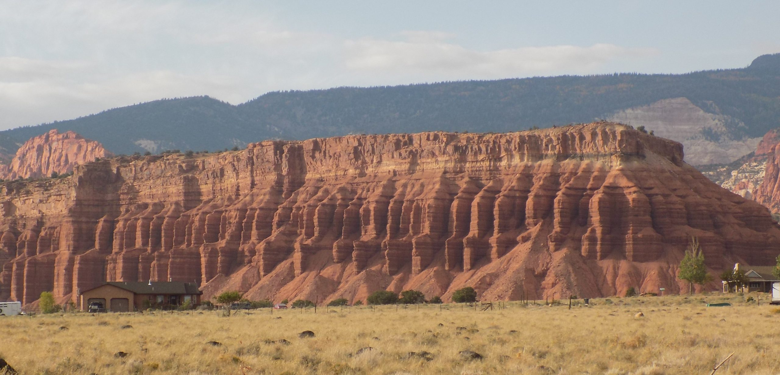
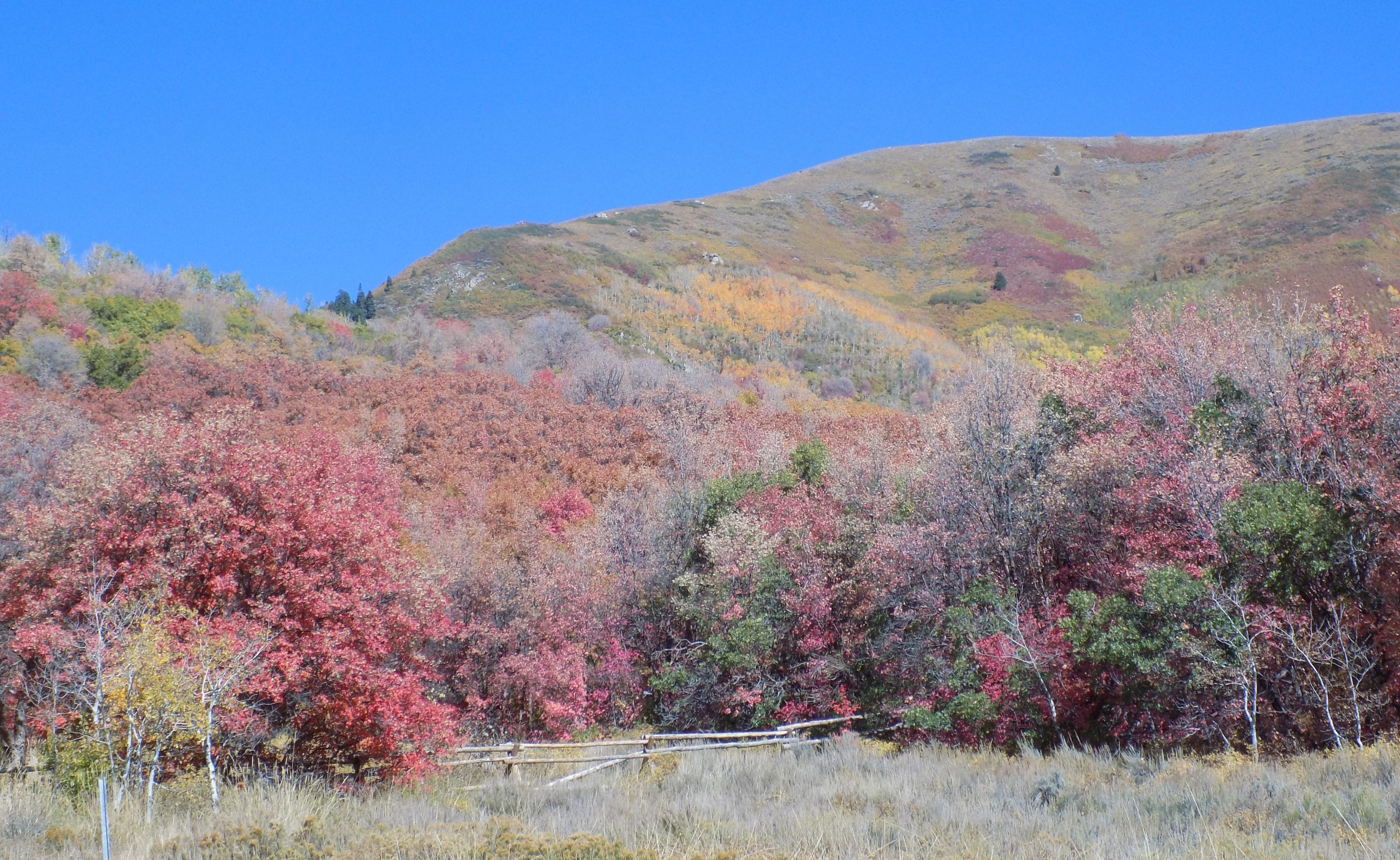
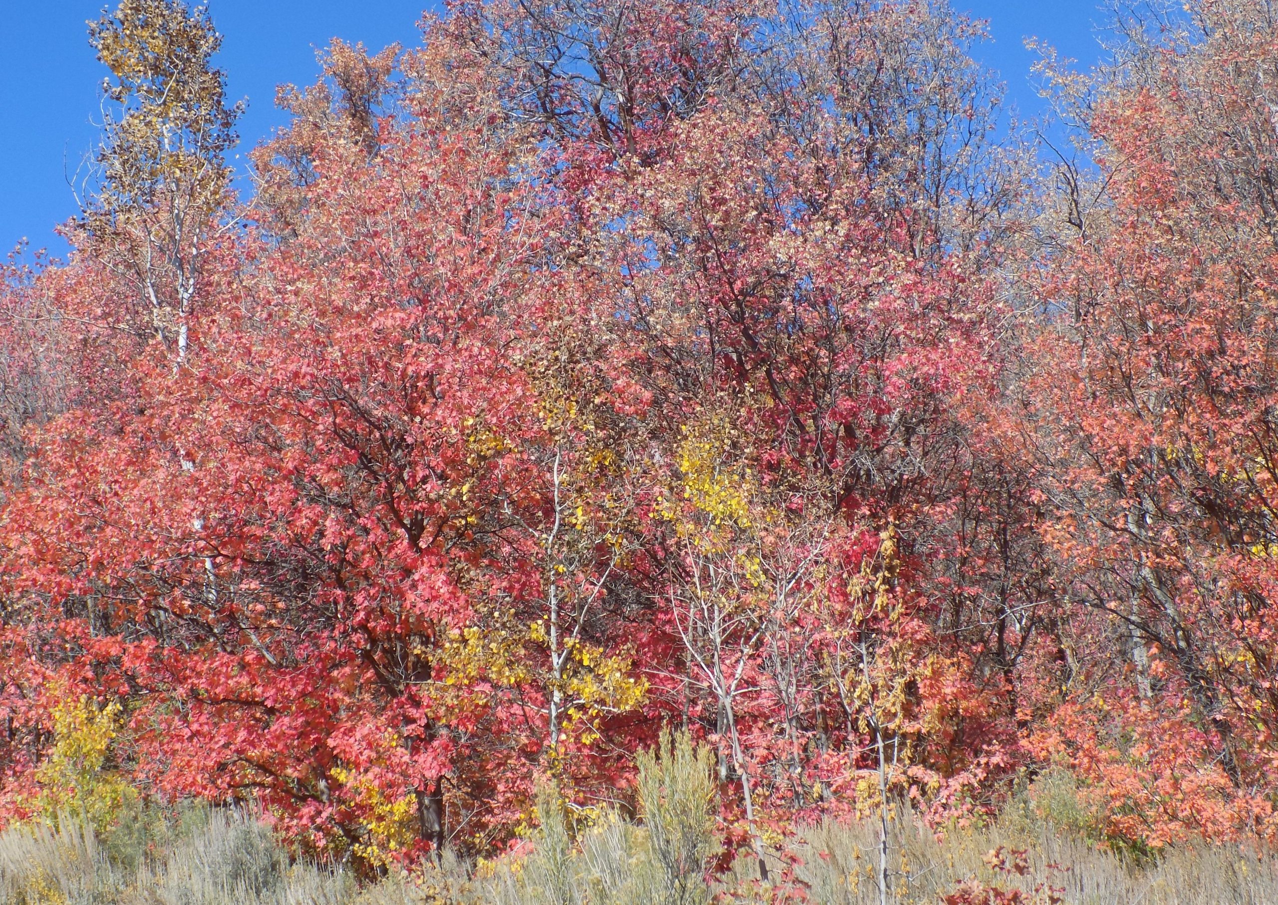
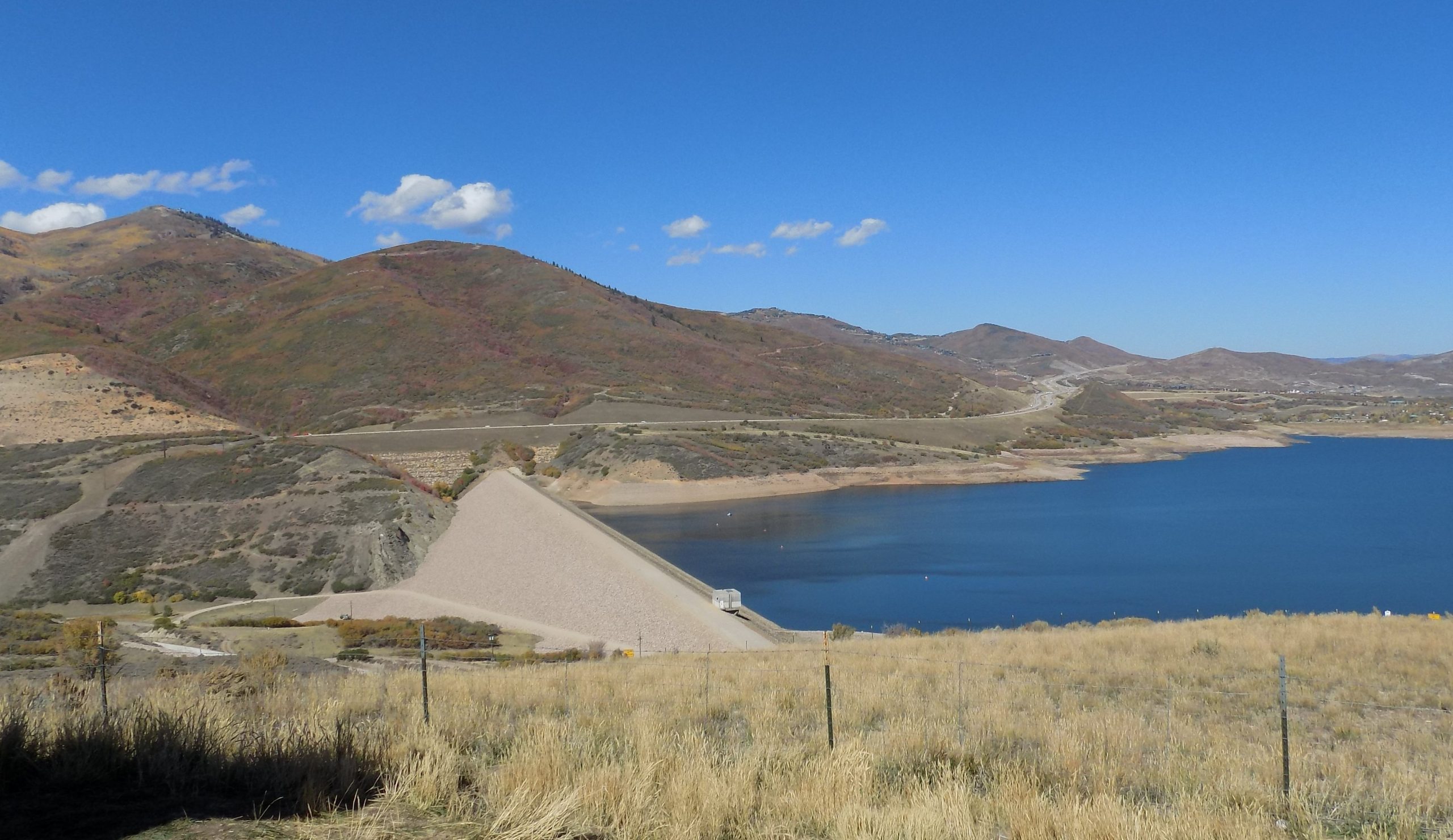
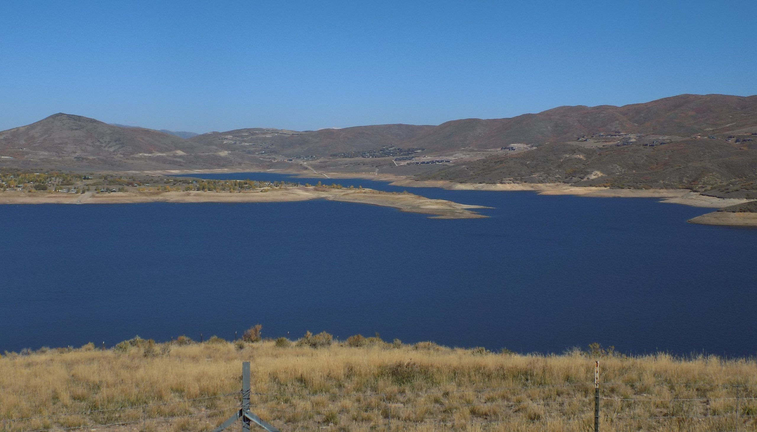
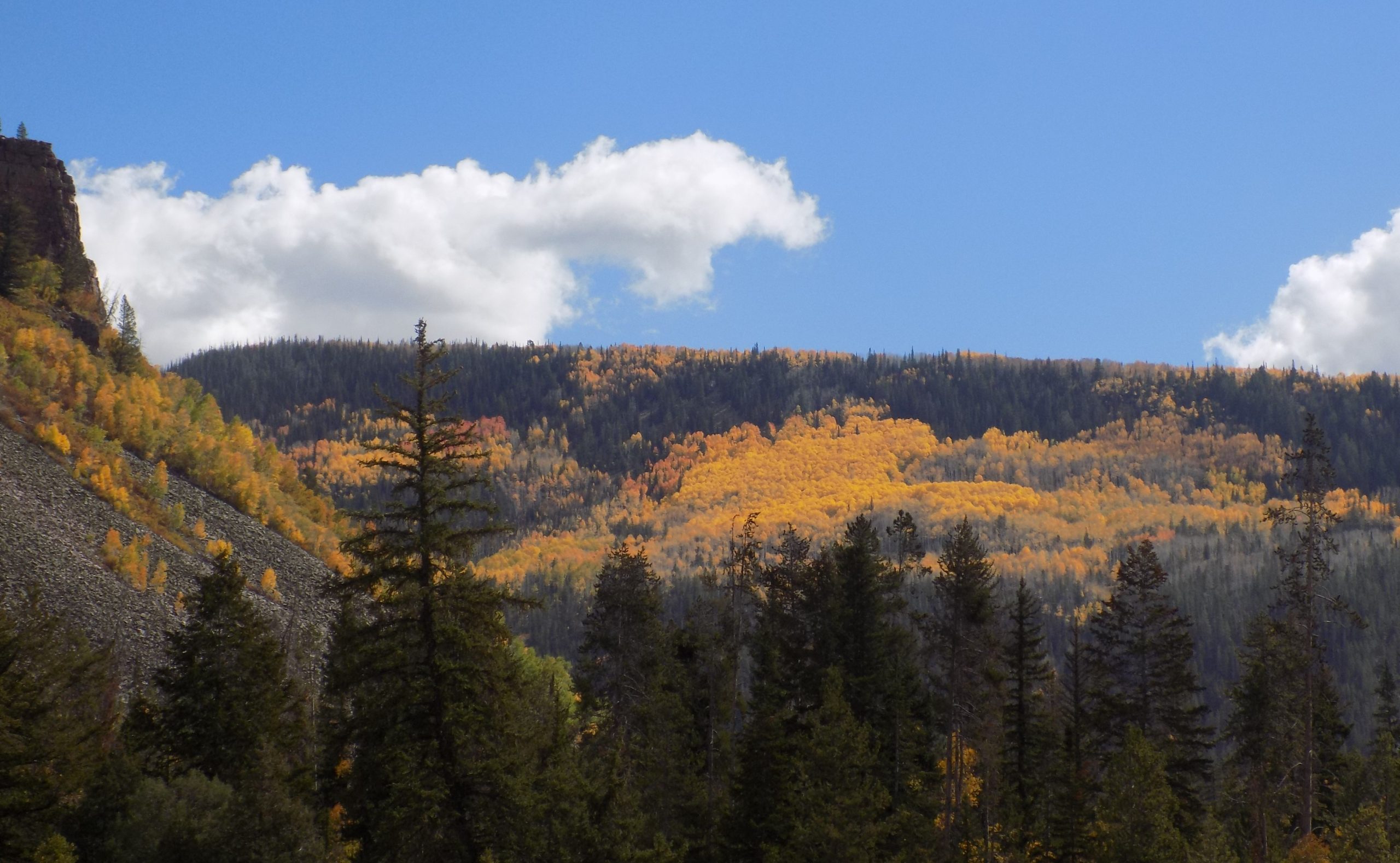
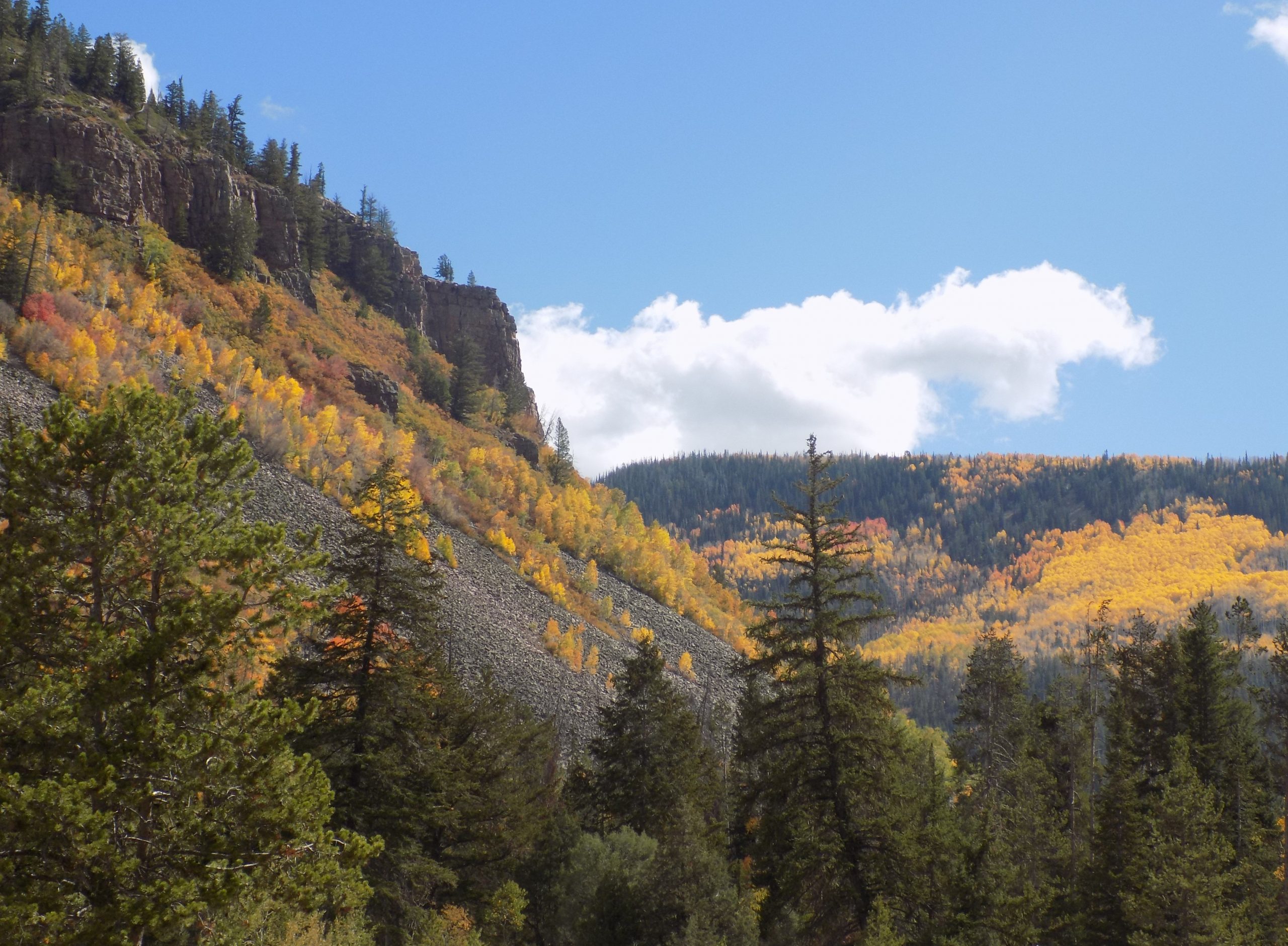
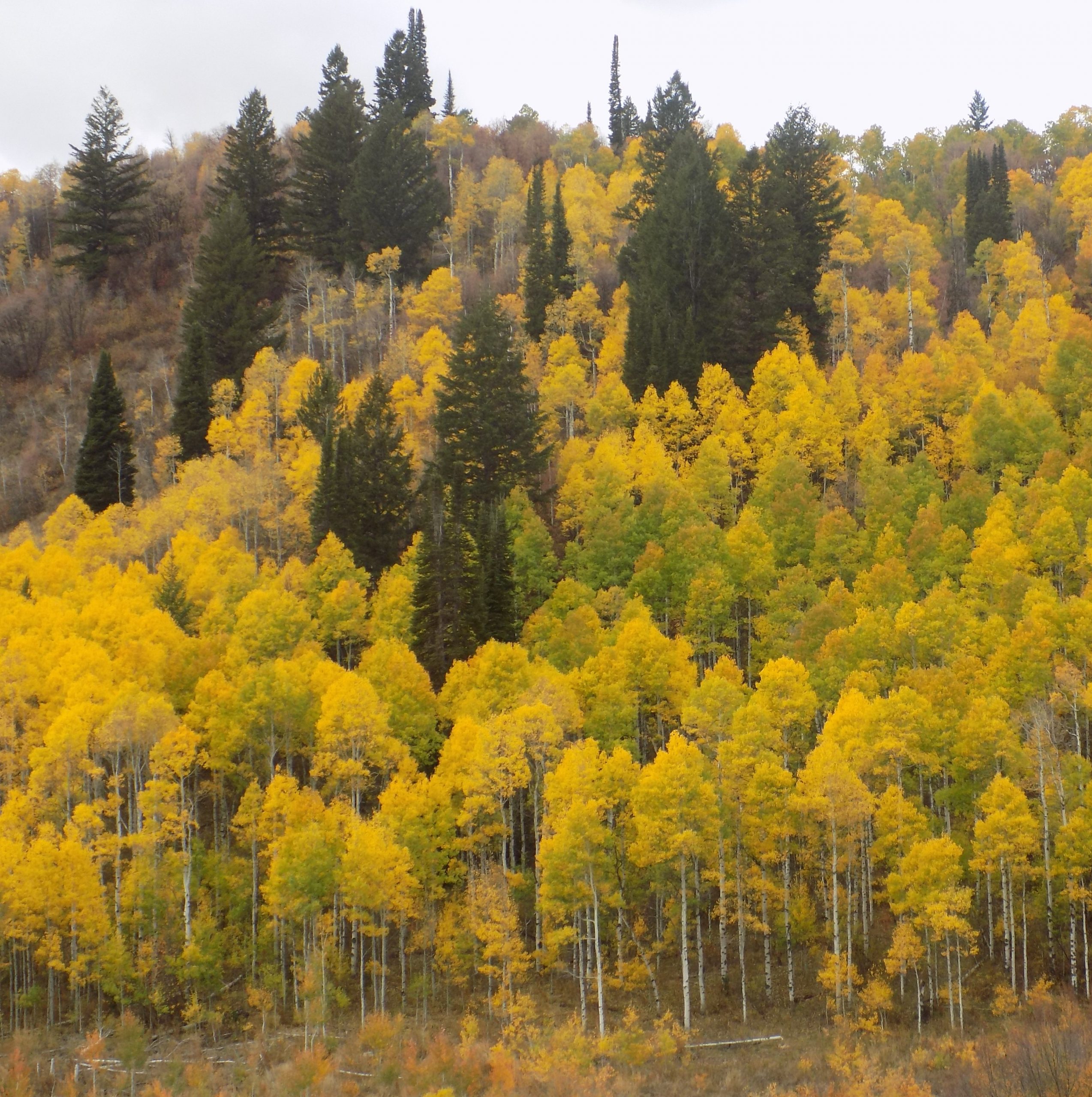
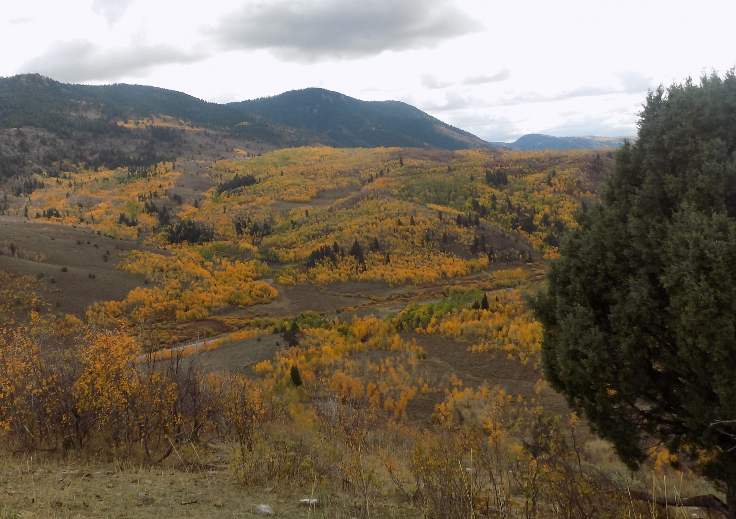
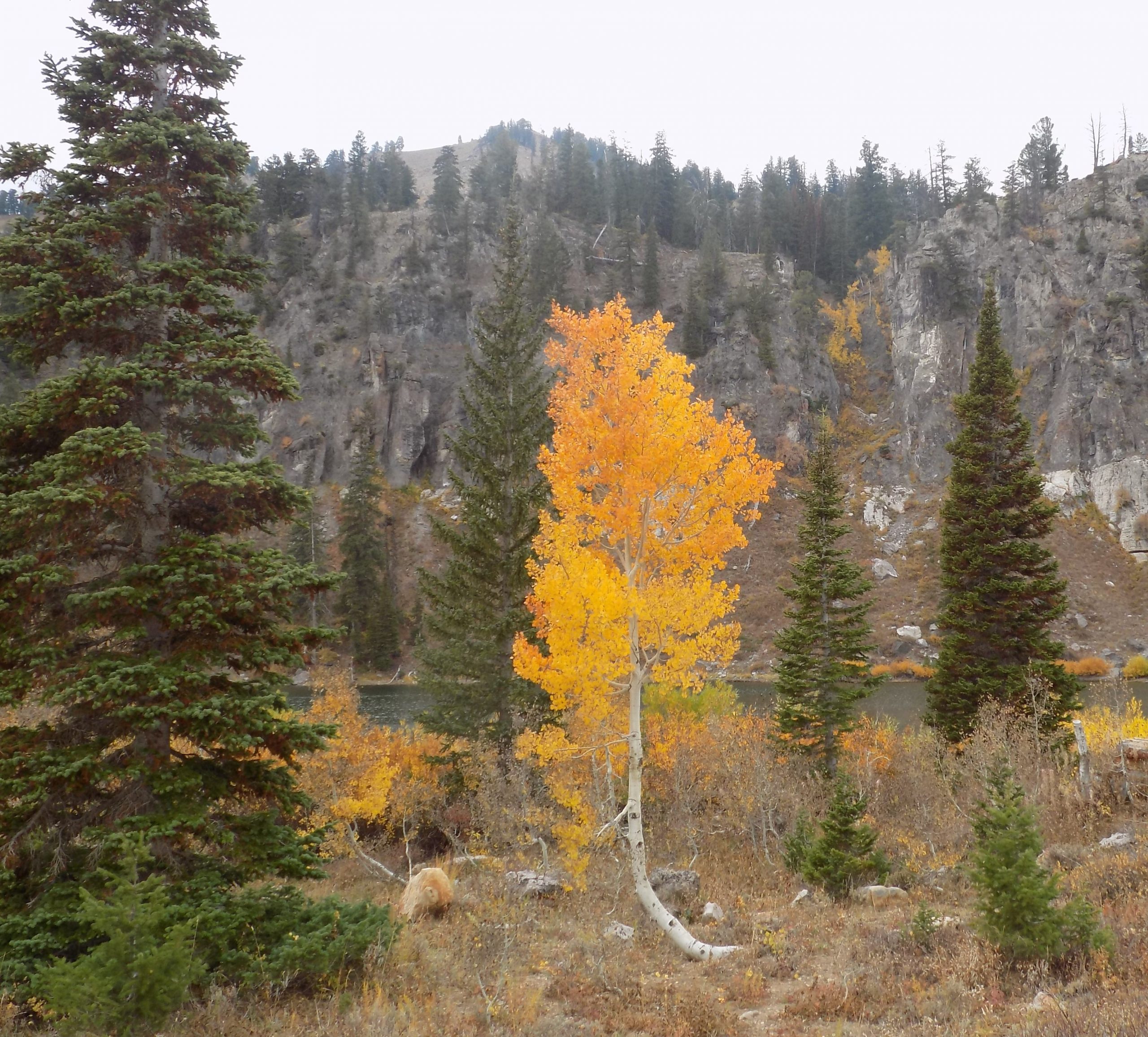
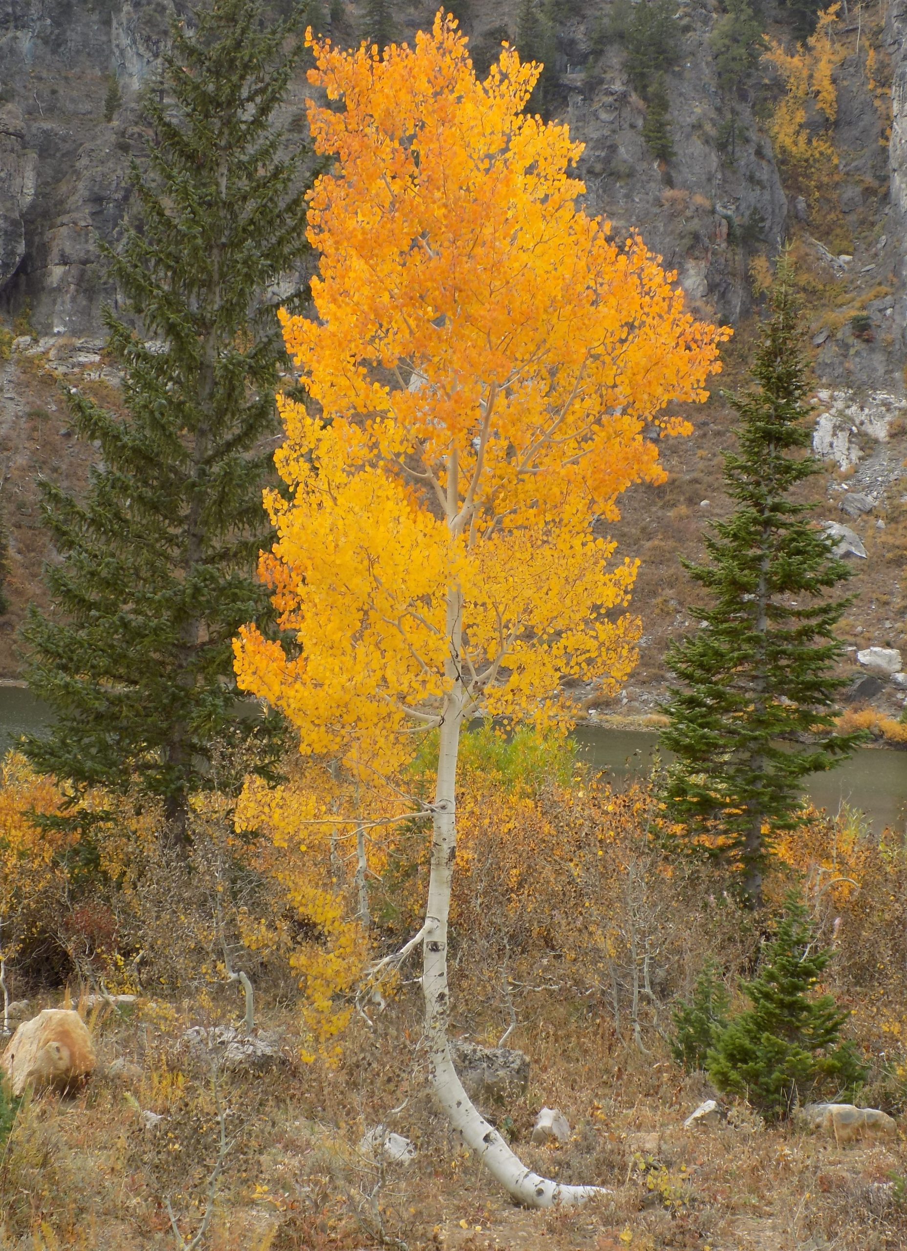
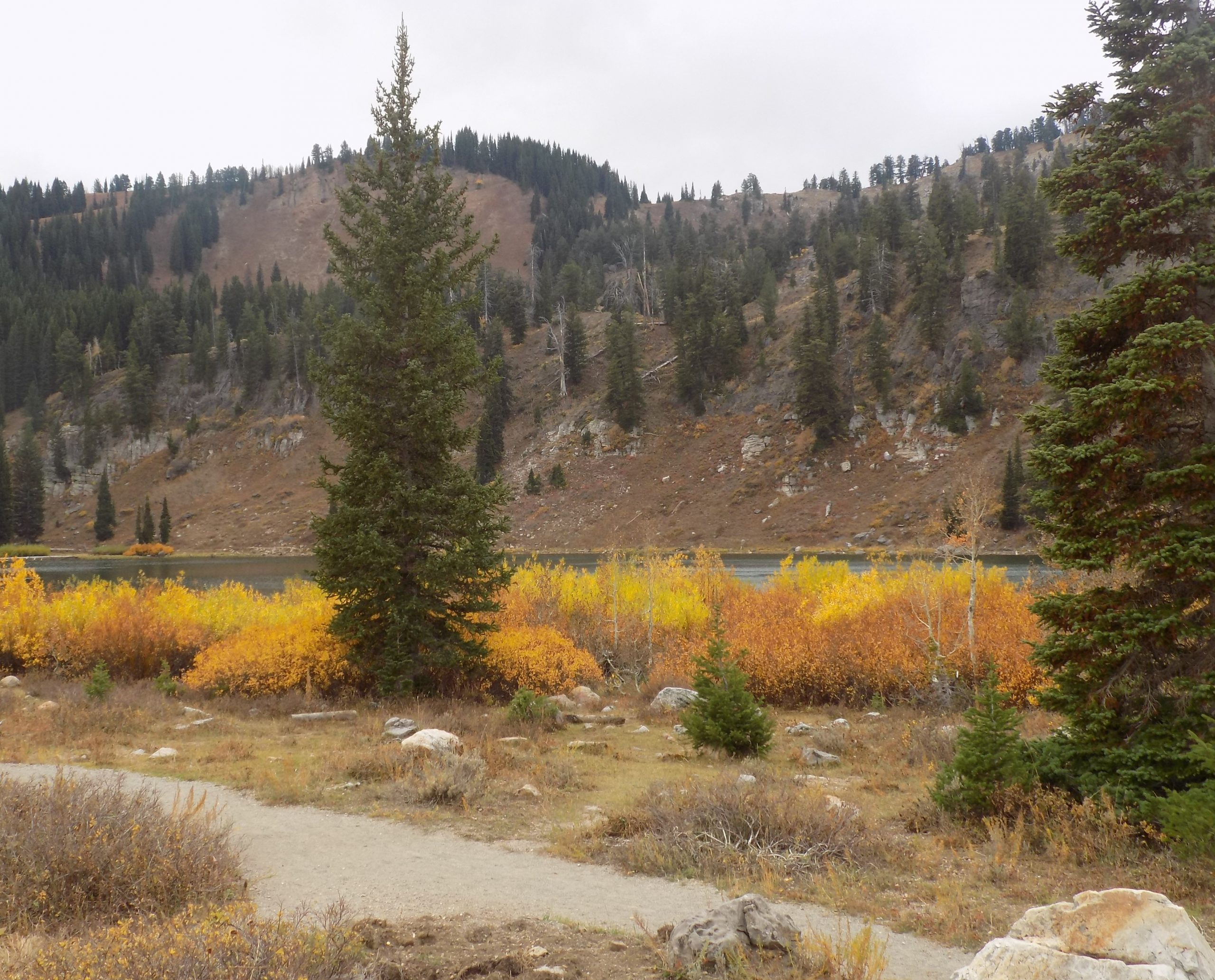
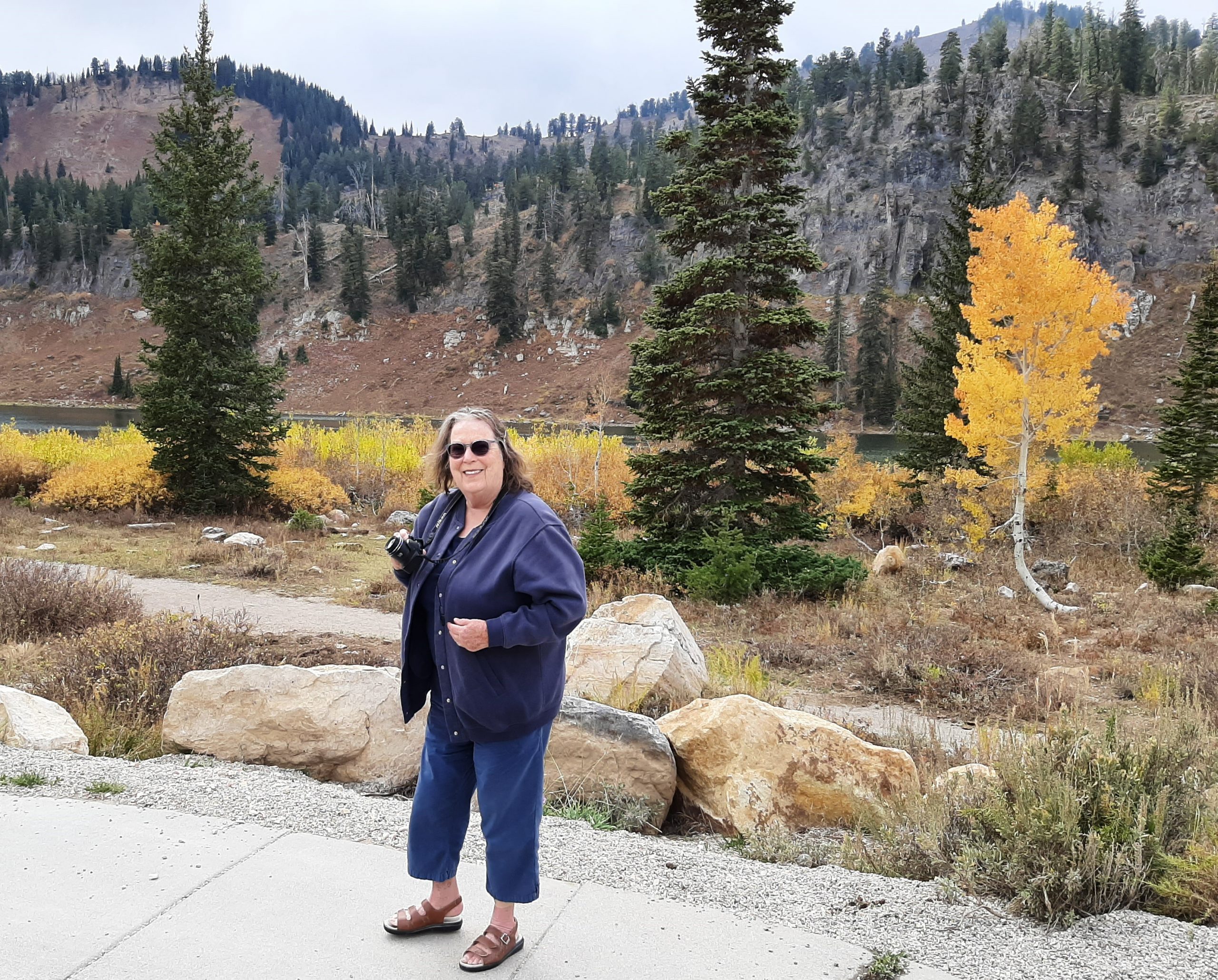
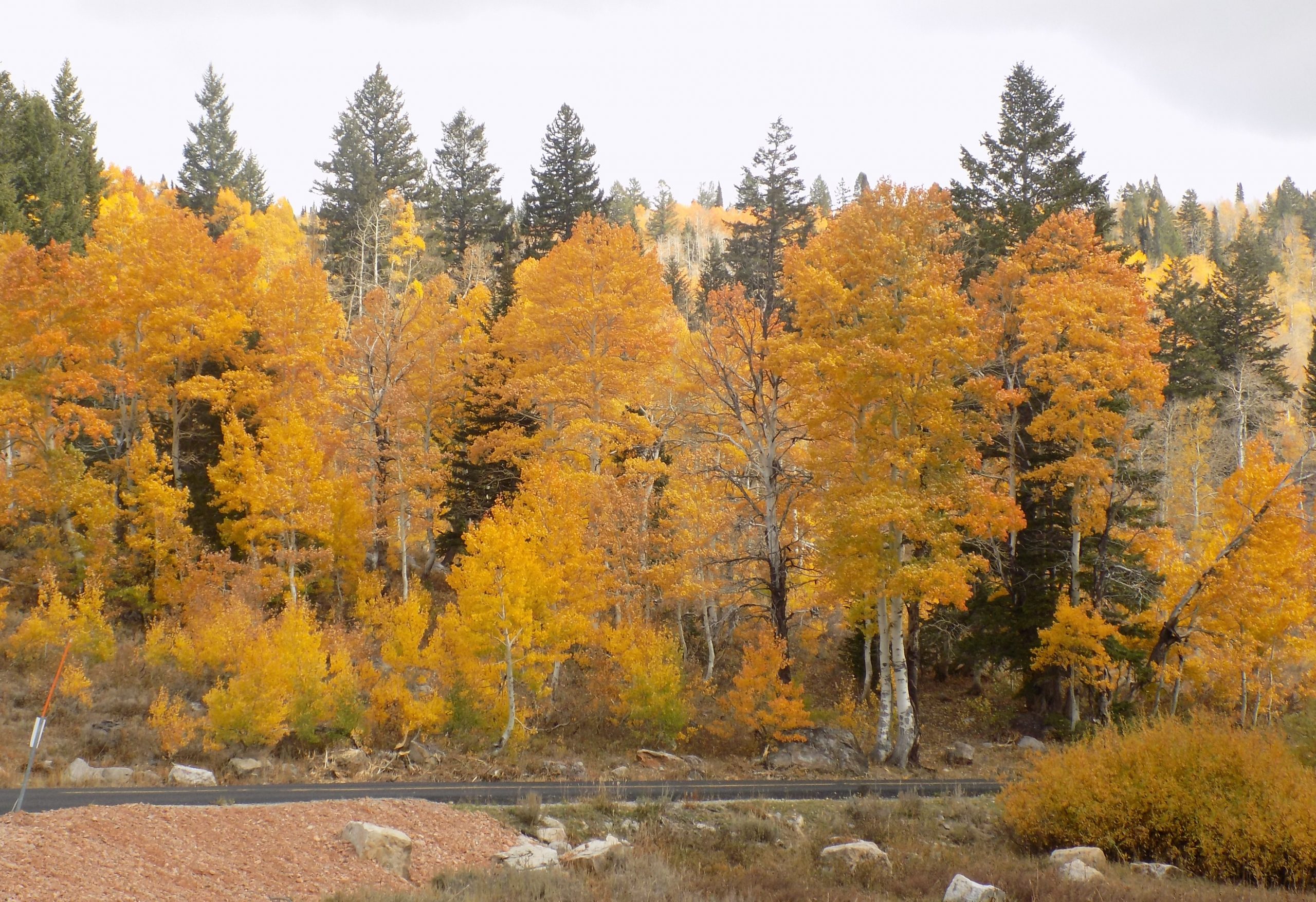
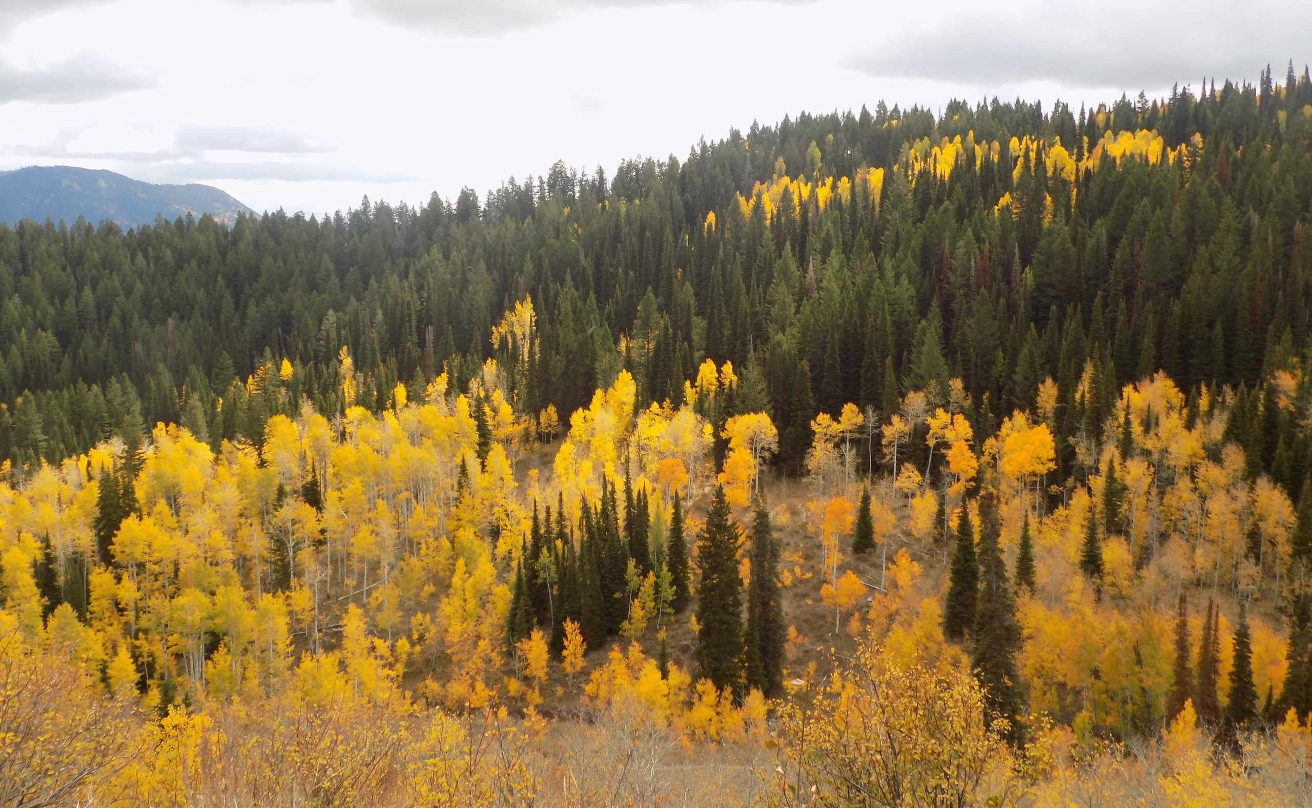
But eventually we arrived at camp at 3:15 pm. Our very nice hostess advised us that after we dropped anchor, we should take a short drive up to Angel Lake. She said the trees were absolutely beautiful this year. We had previously taken this same drive, but during June. Well, we were sure glad we had taken her advice. As you can see from the pictures that follow, we were truly blessed with a riot of color.
There is a special place in my heart for aspen trees. And they were at their autumnal finest this year. Beautiful shades of gold and orange. And enough breeze that the trees actually seemed to be quaking! But then, so was I. Only because it was so exciting to witness this amazing part of the world in all its fall splendor.

Then back to camp to read, a nice walk for Andy on the grounds of the golf course across from our camping site, and a quiet time for me to log my thoughts from the last couple of days. Just so you know – it’s hot here. All the windows and door are wide open and the magic fan (or whatever it’s called) is busily drawing warm air out of the trailer.
As I’m sure you have figured out by now, this travel journal has very little to do with recipes. It is merely a travel log for Andy and me to enjoy in our declining years and to use as a reminder of where to stay next time, or where not to stay, as the case may be! And for our friends who love to tow their trailers or drive their motorhomes all over the western part of our lovely nation. So, there aren’t going to be any wonderful recipes or any new food revelations involved. Just a journal and lots of pictures as a way for those of us who travel together to stay connected. And for our friends to learn about new and exciting places they might also wish to visit. But please come along for the ride. We love sharing our adventures with all of you. (And yes, I will get back to posting recipes very soon. And thanks for being patient.)
Tuesday, September 28, 2021 – Ely KOA, Ely, NV – site 59
Woke early to very windy conditions. The trailer was a rockin’ and a rollin’, so neither of us could sleep past 6:30 am. So, after showers and breakfast, we were on our way before 9:45 am. (Practically unheard of for us!) (And this was the day with the least amount of miles to travel towards our next camp. Of course, it was!)
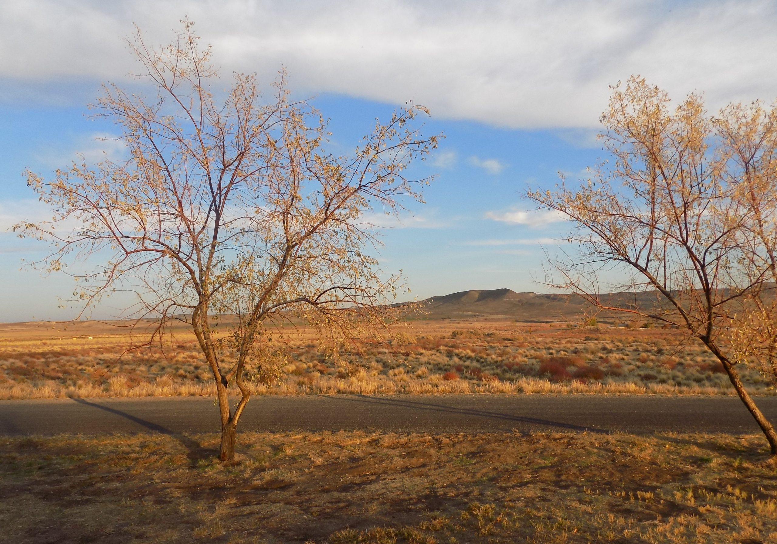
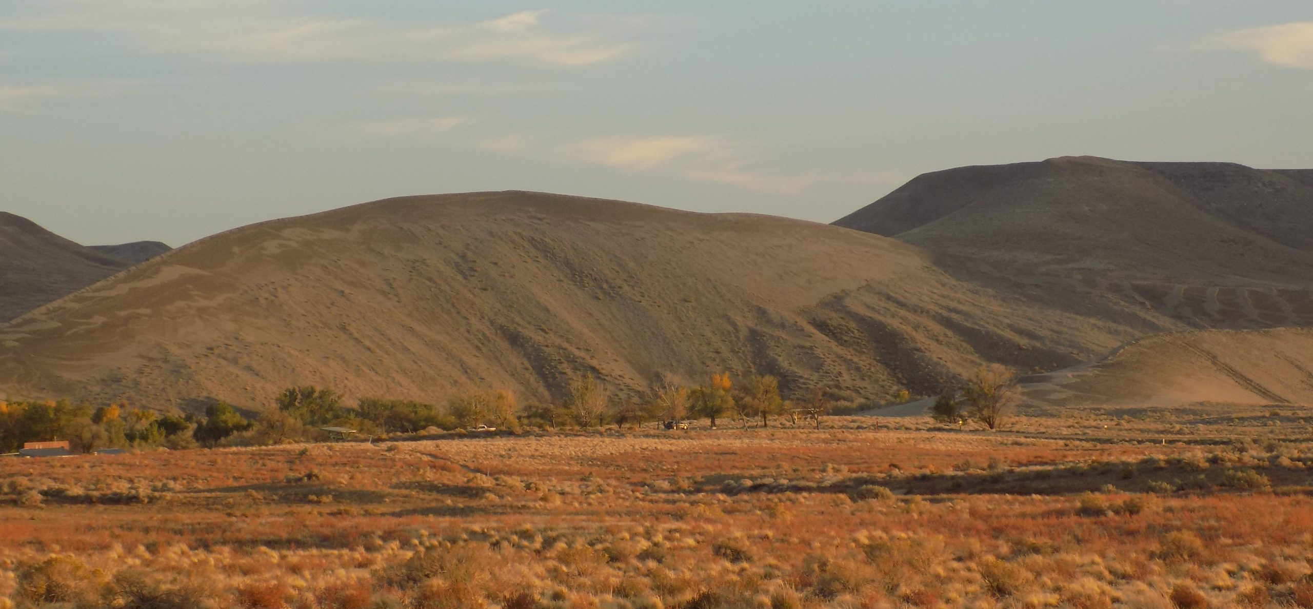
But after miles and miles of sagebrush and seeing mountain range after mountain range, we decided to do a little research about this area of the world after we arrived at camp.
According to Wikipedia “The Great Basin is the largest area of contiguous endorheic watersheds – those with no outlets – in North America. It spans nearly all of Nevada, much of Oregon and Utah, and portions of California, Idaho, Wyoming, and Baja California, Mexico. It is noted for both its arid climate and the basin and range topography that varies from the North American low point at Badwater Basin in Death Valley to the highest point of the contiguous United States, less than 100 miles away at the summit of Mount Whitney, elevation 14,505 feet above sea level. The region spans several physiographic divisions, biomes, ecoregions, and deserts.”
The term “basin” is a bit misleading. “Basin” conjures up images of big sink holes or hollows, when in reality, even the valley floors are over 5,000 feet above sea level. The numerous mountain ranges trend north to south, with many peaks over 10,000 feet. So, driving through this part of the world is truly a visit to a geological wonderland.
We made a visit to Cave Lake. But we could not get close enough to take a picture. So, you will have to wait until we return to this part of the country to learn more about this interesting area.
After visiting the Cave Lake area, it was a bit of provisioning in Ely. Then back to the trailer for reading and writing. Then a nice dinner of marinated flank steak, baby potatoes in butter and seasonings, and steamed broccoli with “secret sauce”. (OK, one recipe – secret sauce. Half mayonnaise, half soy sauce.)
Because it was reported that the temperature was to be below freezing that night, Andy unfastened the water hose and brought the koolatron (where we keep most of our veggies and fruit) inside the trailer. We also left the heat on and kept the water heater happily heating water all night long. And yes, it was cold outside. Inside the trailer however, it was nice and cozy.
Tomorrow a day of peregrination up and through the Great Basin National Park. (Our first visit.)
Wednesday, September 29, 2021 – Ely KOA
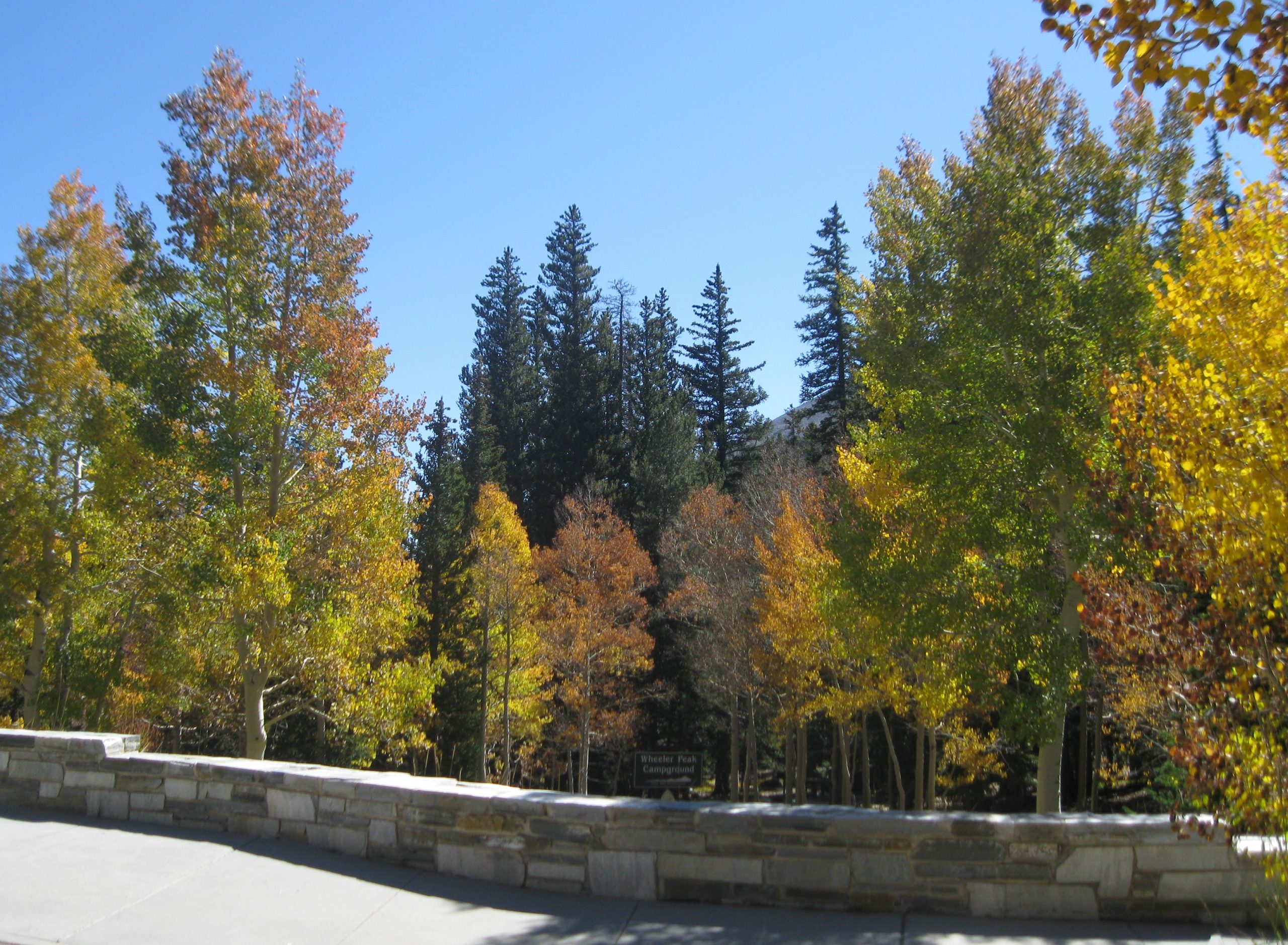
After a big breakfast, I packed us a lunch and away we headed for today’s adventure. Our campsite was about 60 miles from the Great Basin National Park, so we decided an early start would be advantageous.
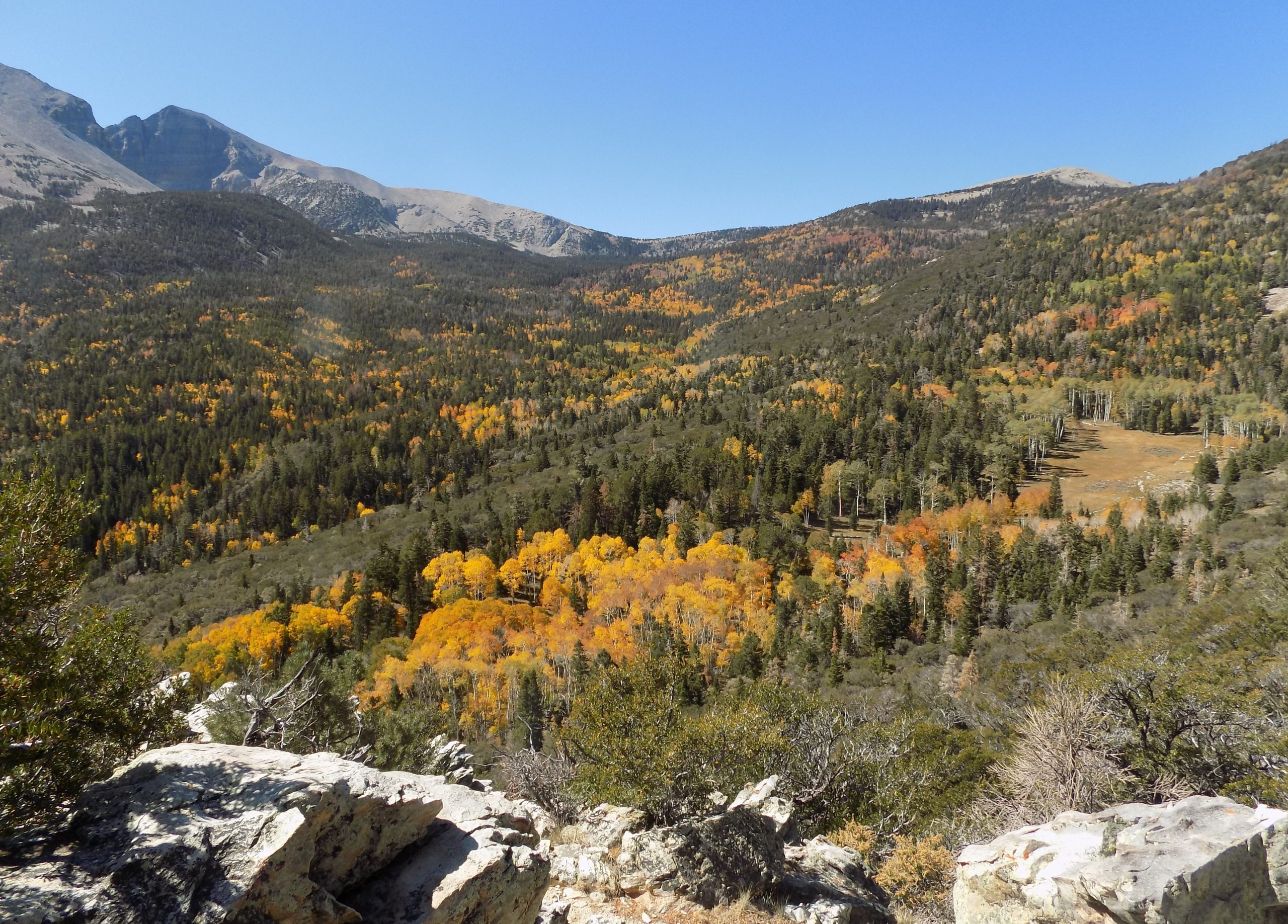
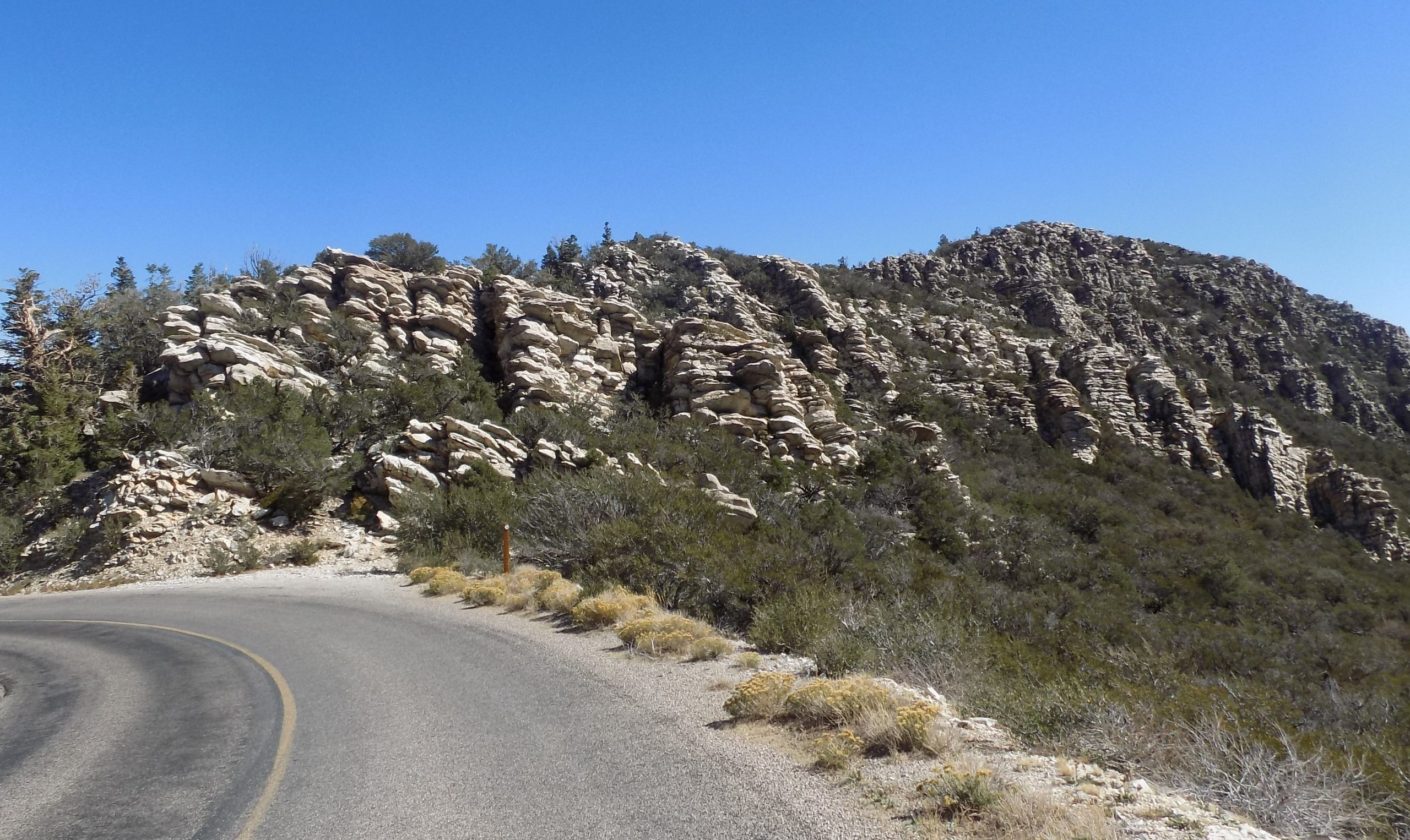
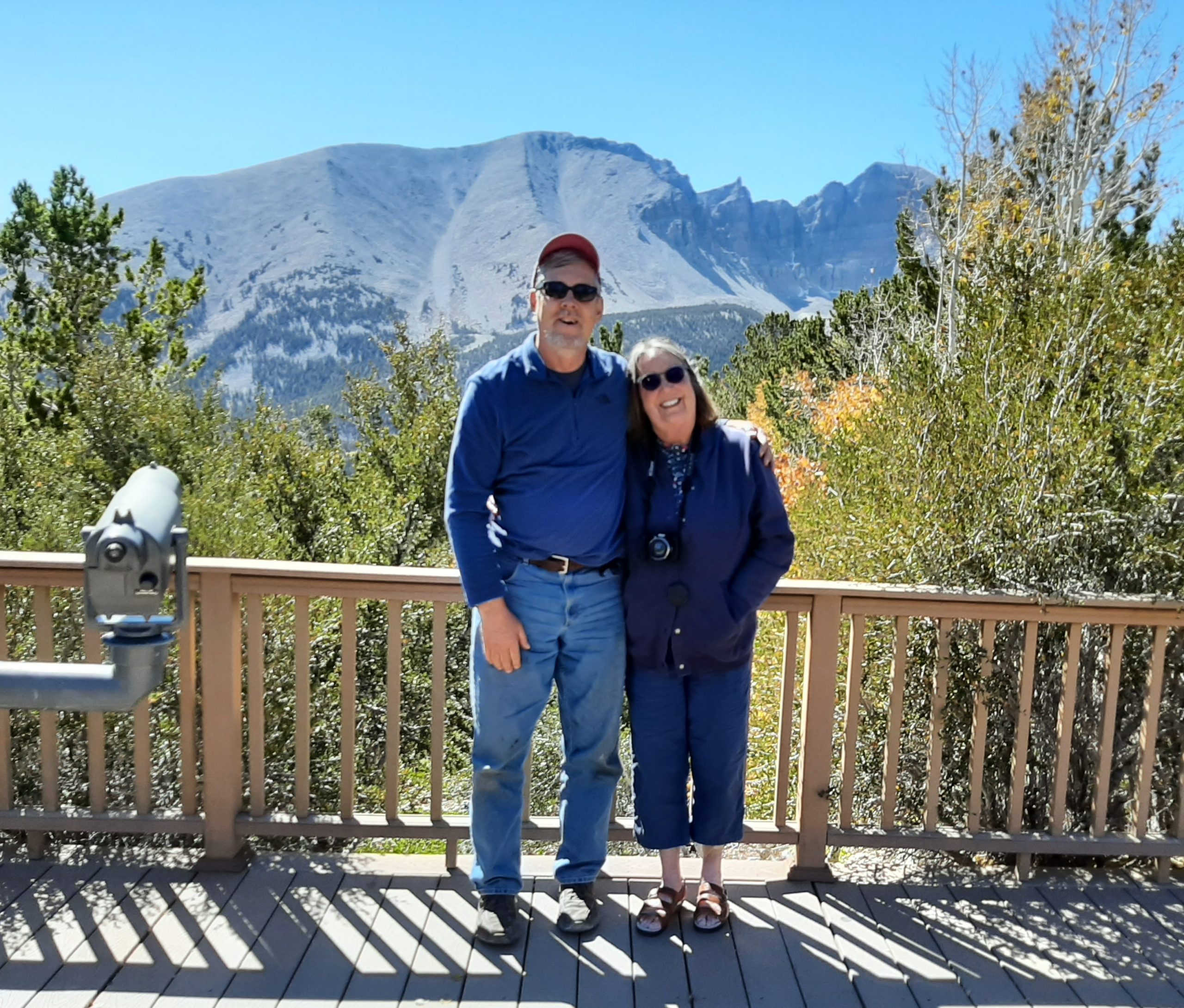
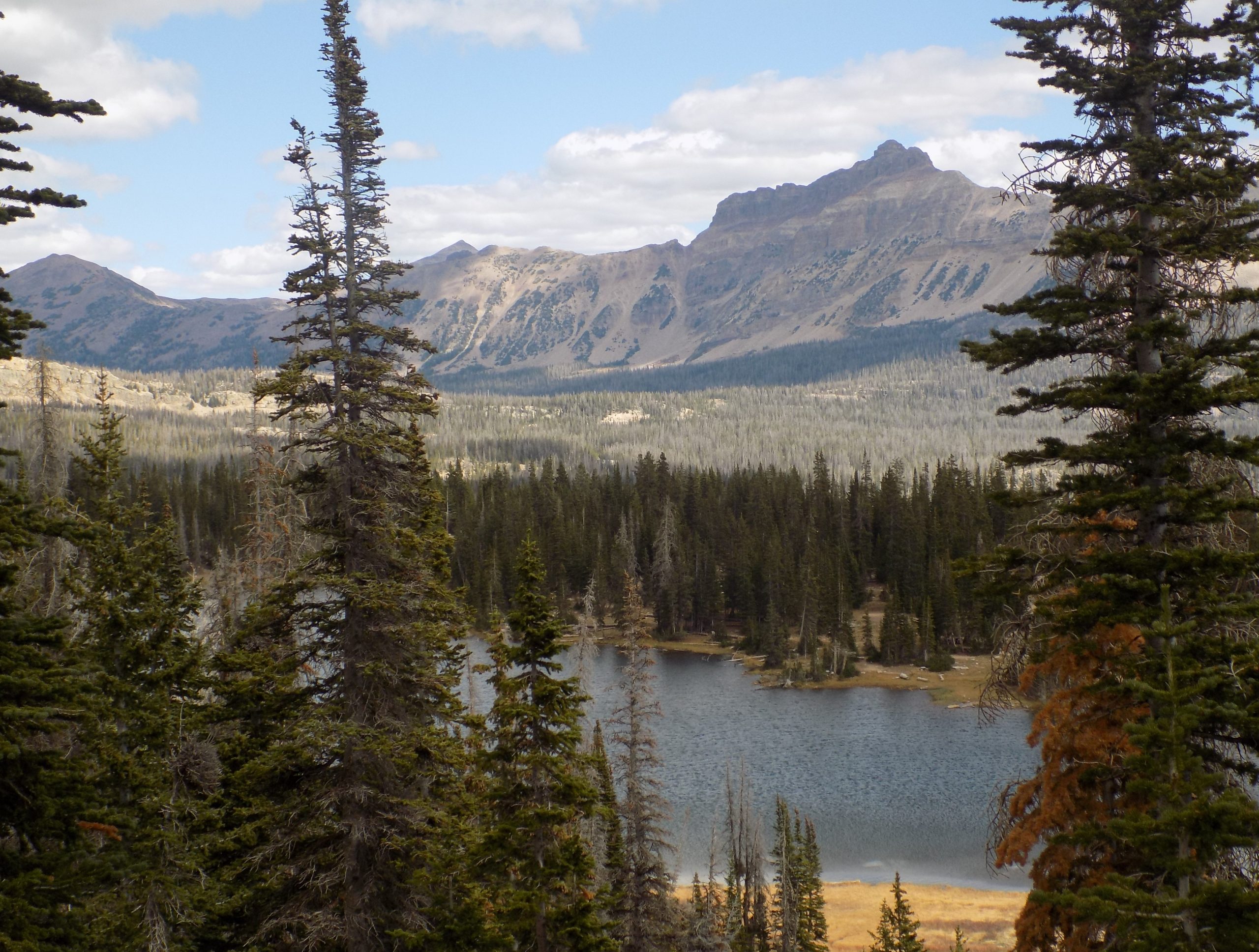
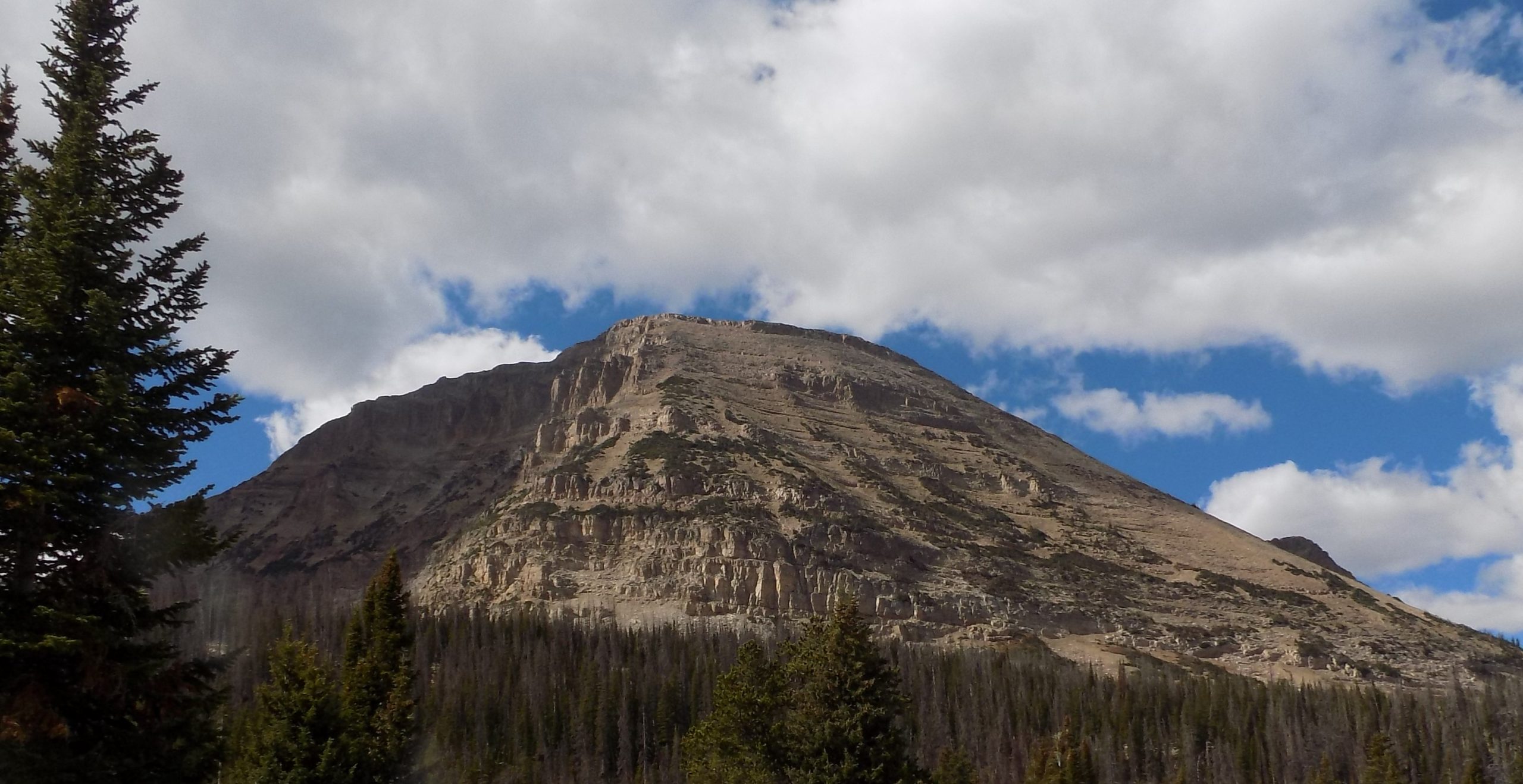
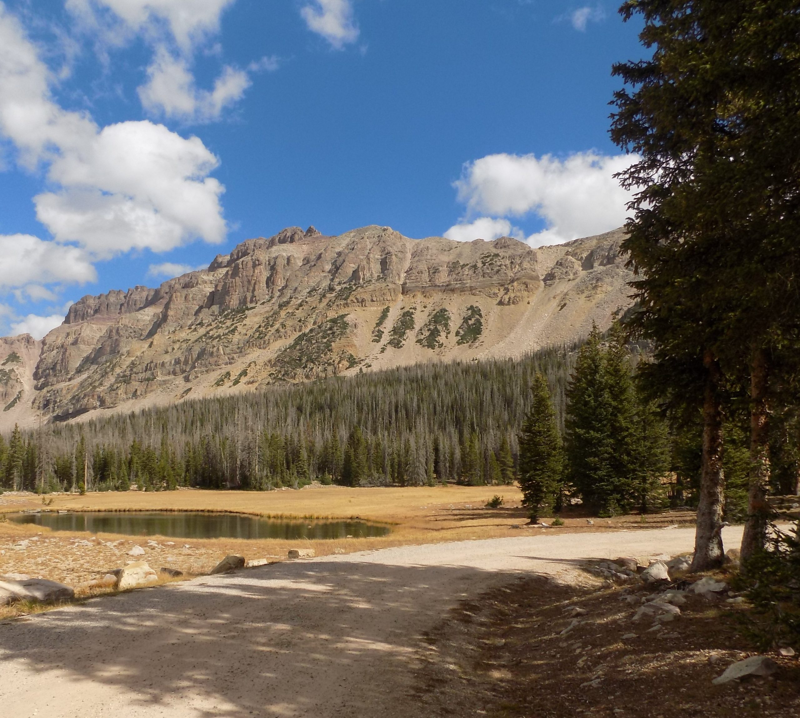
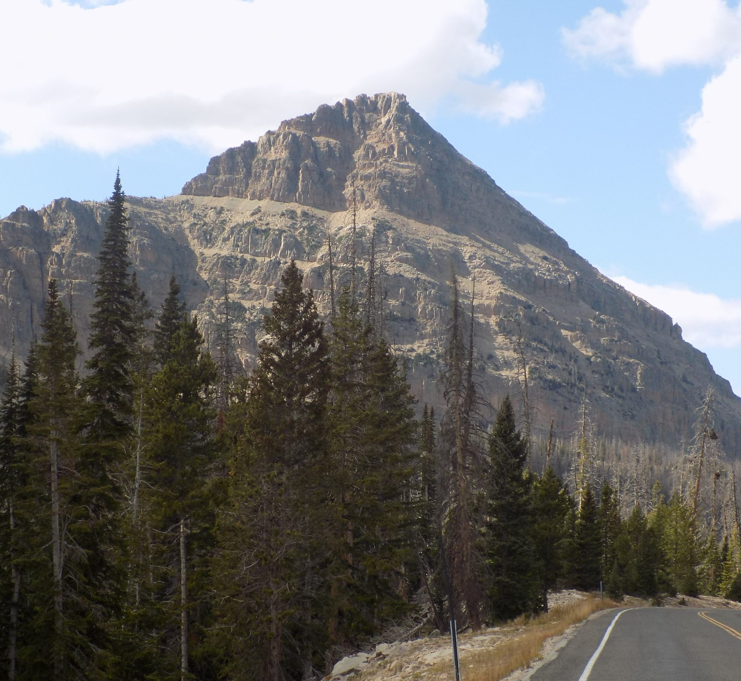
Our first drive took us up to Wheeler Peak. Taking a drive along the Wheeler Peak Scenic Drive is a highlight of any visit to Great Basin National Park. A true mountain road, the scenic drive hugs the mountains of the South Snake Range, slowly winding to a point above all others, where vistas reach the horizon, and one is met with a pristine view of the rugged & harsh, yet beautiful, Great Basin Desert.
Starting the drive by the Lehman Caves Visitor Center, we were already at an elevation of 7,000 feet above sea level. Here you are driving through a typical Great Basin eco-region that is dominated by the low-lying sagebrush.
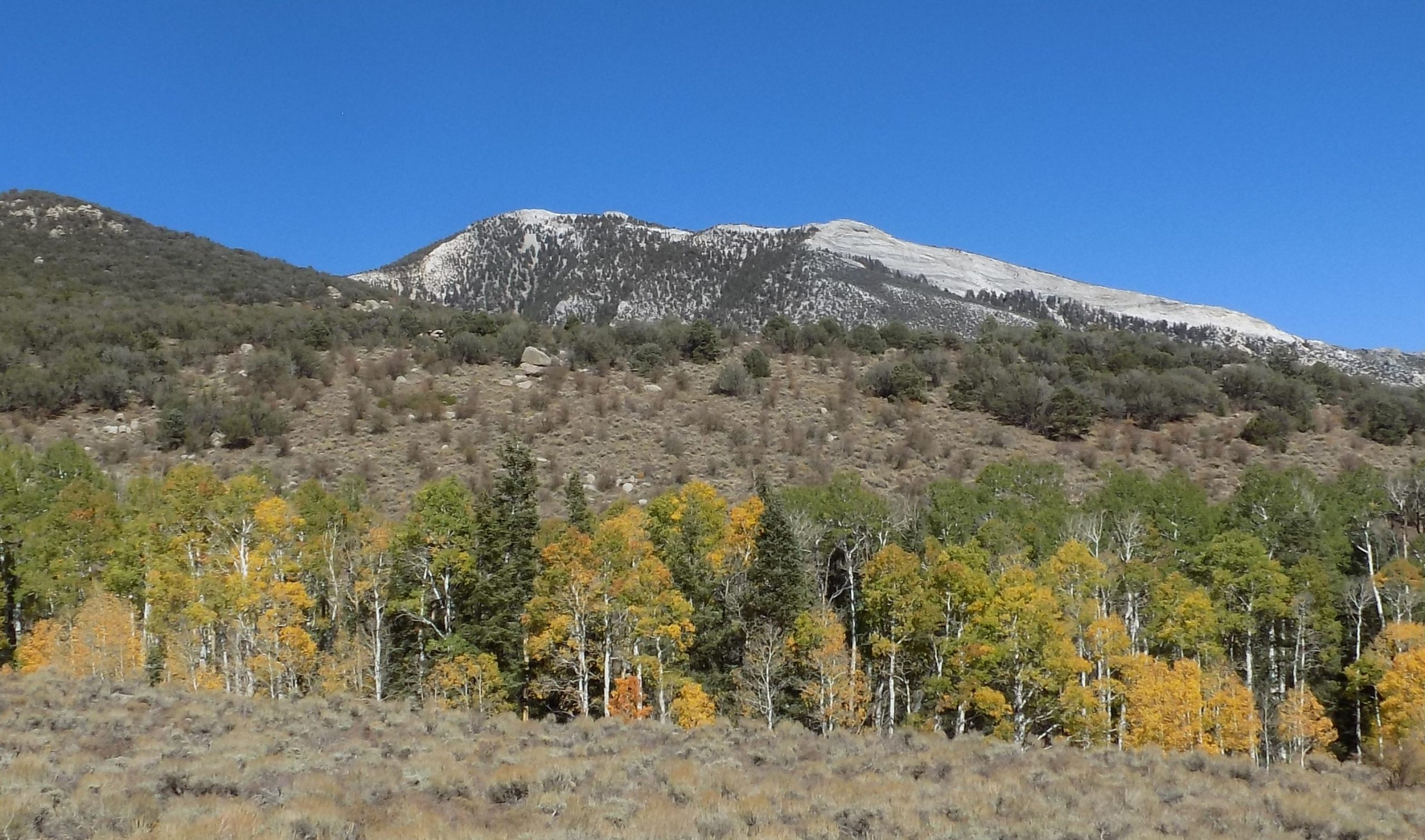
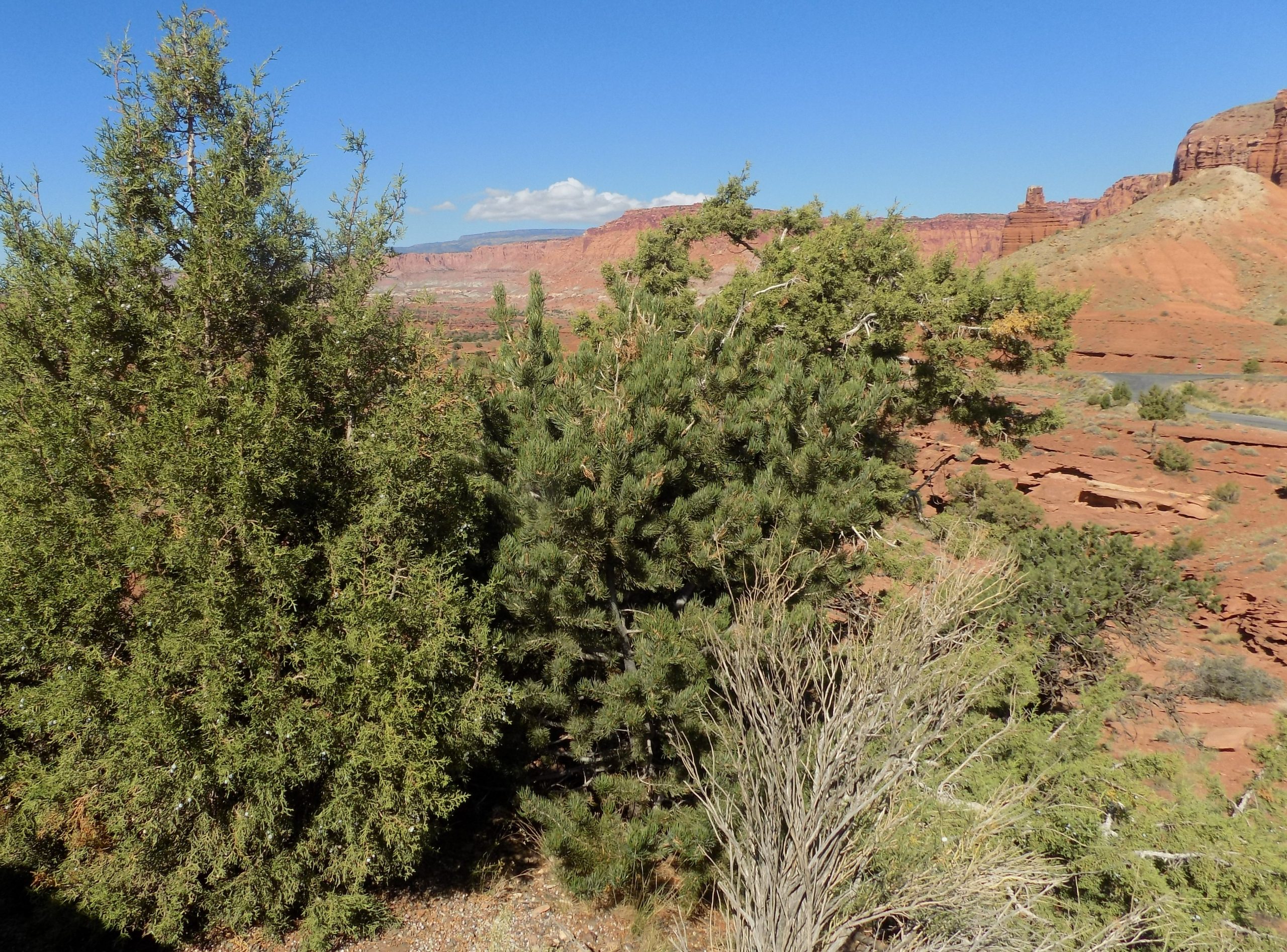
As we left the sagebrush, we began to notice drastic changes as the low shrubs were replaced by taller and taller pine trees. By 8,000 feet, we were passing through a prime example of a pristine Pinyon/Juniper woodland ecological zone. Looking closely, we saw subtle differences between these two common trees. Pinyon pines have sharp, round needles emerging singly from the tree stem, while juniper needles are very short and lay close together, giving the appearance of scales. Ascending out of the pinyon/juniper ecological zone at around 8,500 feet, we began to encounter scrappy, rough looking trees, known as the Curleaf Mountain Mahogany. Looking closely at their leaves, we discovered small, waxy leaves that curl down at the edges, just as the name suggests. By 9,000 feet, we had left the mountain mahogany behind, and entered a forest of mixed conifers – white fir, Douglas fir, and ponderosa pine. By the 11th mile, we had reached an altitude of 10,00 feet above sea level. Ecologically, we had entered a region more characteristic of a Rocky Mountain alpine forest than that of the Nevada desert. This sub-alpine forest was dominated by the white-barked aspen tree. Interesting fact: each aspen grove is a single, living organism. Aspens reproduce through cloning by sending runners out underground that become new trees. Because of this, it is common that entire hillsides of aspens are all a single, genetically identical tree. And at this time of year, the aspen trees were in full glorious color. We were enchanted.
By the time we reached the Summit Trailhead, we had completed our journey from the harsh sagebrush flats to the surprisingly lush and diverse sub-alpine forests of the Snake Range. In just 12 miles, we had traveled through the same eco-regions that you would have encountered as if you drove from Baker, Nevada to the frozen Yukon, thousands of miles north.
On our way down we stopped at the Lehman Caves visitor center for a look at what we had missed by not 1) knowing about the caves, and 2) not making a reservation for a guided tour. Next time we visit this part of the world we will be better prepared! Then after a quick picnic lunch, we were on to the second part of our visit to this great National Park – Snake Creek Canyon.
Snake Creek Road runs approximately 13 miles deep into the backcountry of Great Basin National Park. The road is unpaved and passes multiple primitive group and single vehicle campsites along the winding road. The vegetation changes as you gain in elevation from the sage brush, Juniper, and Pinyon Pine of Granite Basin to Aspens and Elderberry trees at the top of the road.
After arriving back at the main road, truck and riders unscathed, we headed back to Ely to gas up for the next day’s adventure and to have dinner and an early to bed. A wonderful day spent under a perfectly beautiful blue sky. We could not have asked for better weather.
Thursday, September 30, 2021 – Sand Creek RV Park, Torrey, UT – site 14
If it were possible to make myself a little less specific sometimes, this morning would have been a prime example.
When I originally booked us into this park, I was told that they were full up. But they did have a couple of “dry sites” (electricity but no water or septic) if I would like one of them. Anna assured us the site would be great regardless. So, this morning before we dumped and added gallons of water to our fresh-water tank, I decided to call and see if they had any cancelations and to ask if there was possibly a full hookup site available. Or even just a site with water. (Who cares about electricity since our trailer has a solar panel which keeps us well supplied with electrical energy.) I had left the message too early for anyone to be in the office. (This is a very small RV park – only 15 RV sites.) But these lovely people called us back twice.
Once to assure us we could fill our fresh-water tank upon arrival at the campground and not have to carry gallons of water up and over several mountain ranges. Then a little while later, Anna called and said she had a full hookup site for us and she would give us a discount besides. Andy told her we would not require a discount, but when we arrived it seems it was a fate accompli. (Who could ask for better service!)
It had been a long day on the road, but we were not bothered by too much traffic, because most of the way from Ely, Nevada to Torrey, Utah was on US Highway 50, the loneliest road in America. The Nevada portion of 50 crosses the center of the state and was named “The Loneliest Road in America” by Life magazine in July 1986.
Blue Highways author William Least Heat-Moon writes about US-50, “for the unhurried, this little-known highway is the best national road across the middle of the United States.” The route offers such a compelling cross-section of the nation that Time magazine once devoted an entire issue to telling the story of the road it called the “Backbone of America.”
And yes, the road surface was great, and no car or truck was crawling up the back of our trailer so that they could arrive at the next town (and I use the term “town” loosely) earlier by 1 minute!
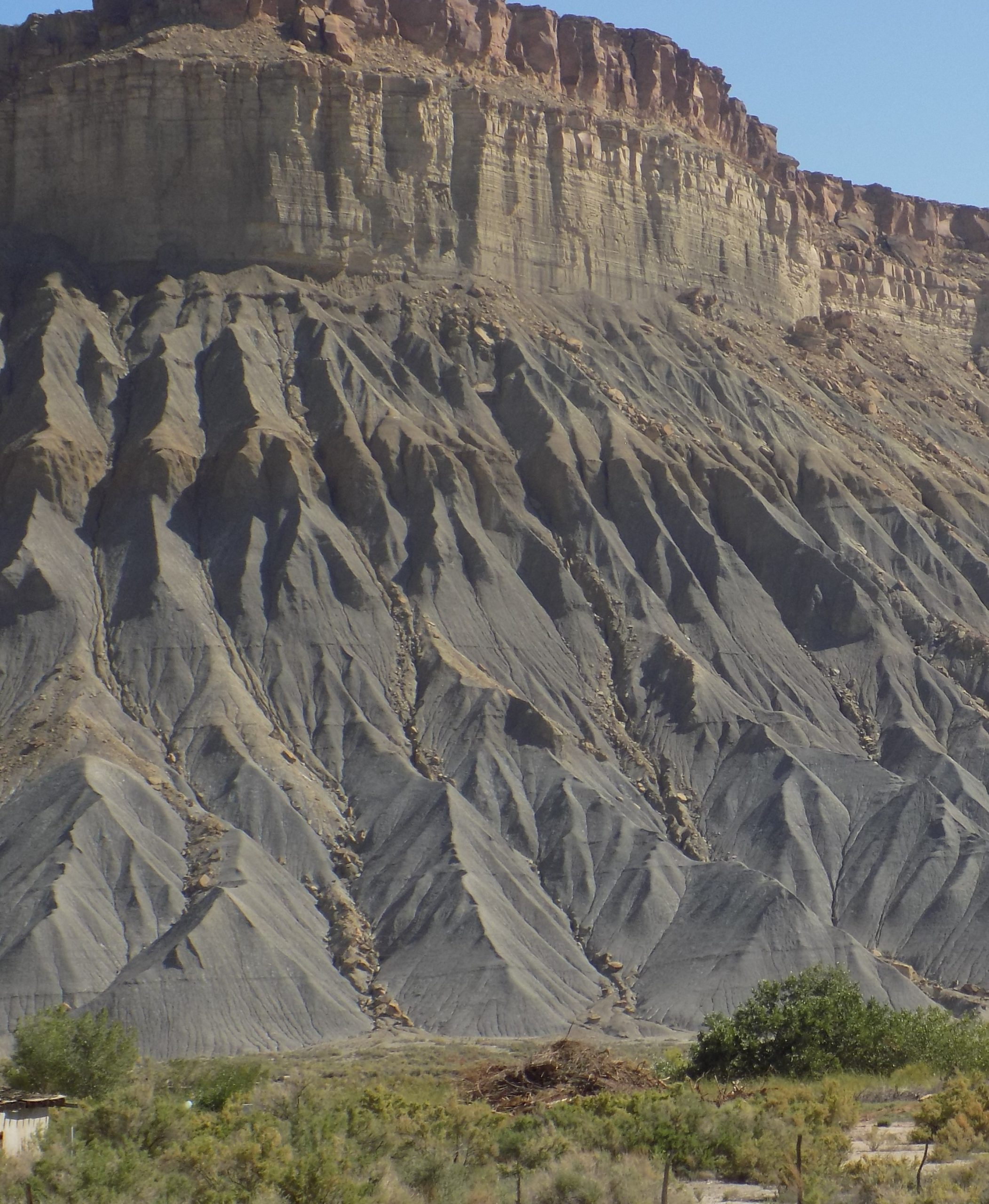
Now what you should know about today’s travels was that there was some new geological wonder to look at the whole darn day! Sure, there was sagebrush, but there were such amazing rock formations that the abundance of sagebrush could easily be forgiven. And up the sides of mountains, aspen trees in full color. If I live to be 100, and please God I don’t want to get that old, I could never get tired of looking at fall color. And aspen trees do fall color better than just about any other tree. (OK, vine maple does a pretty good job too!)
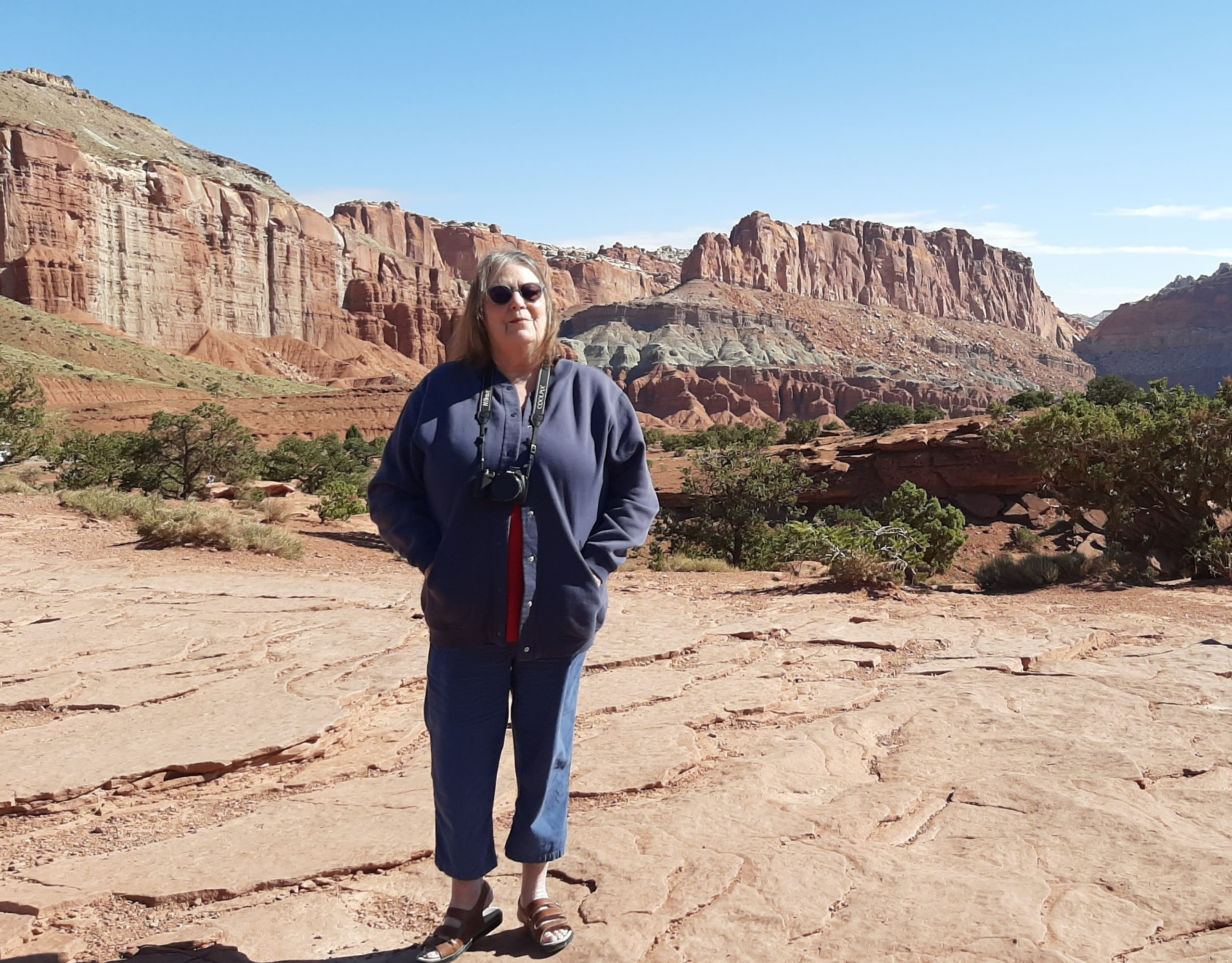
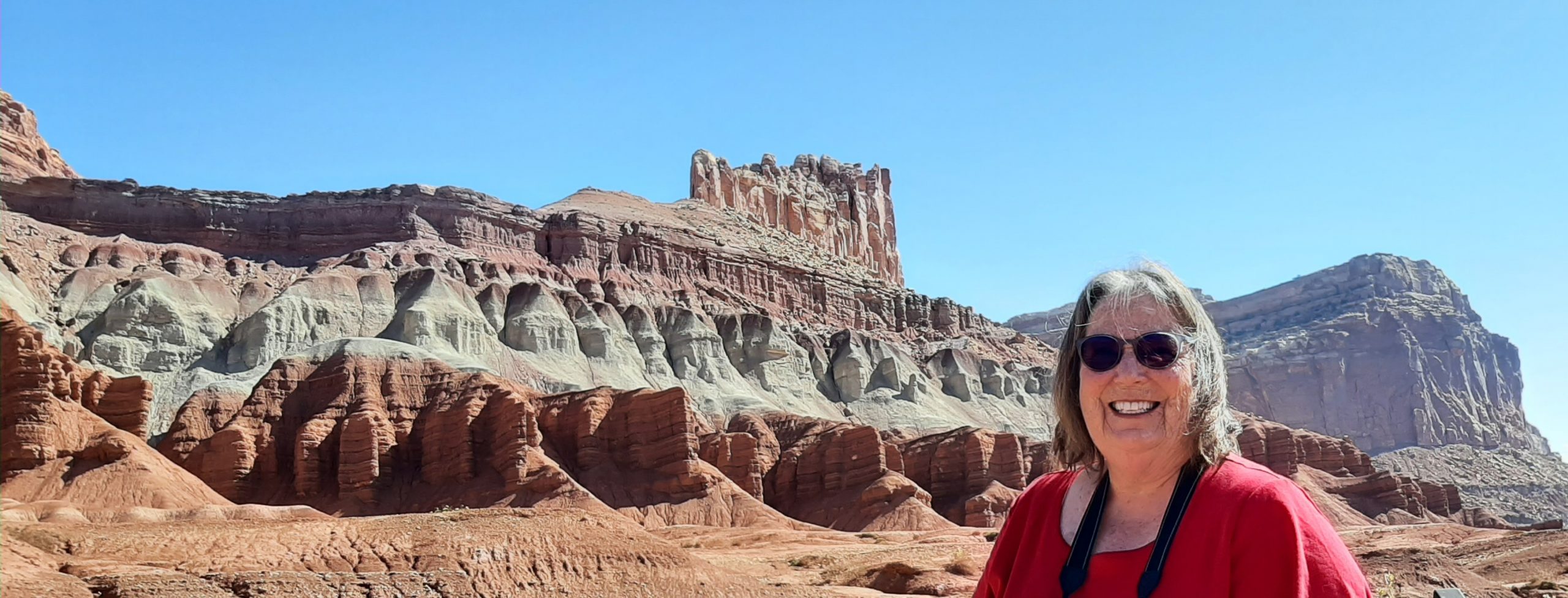
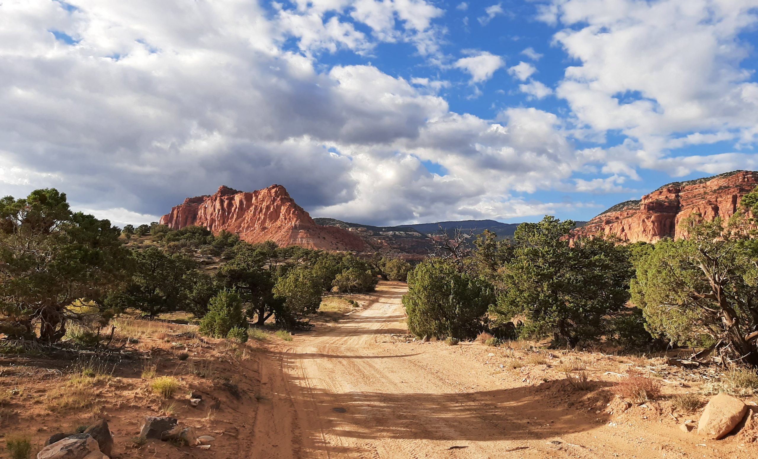
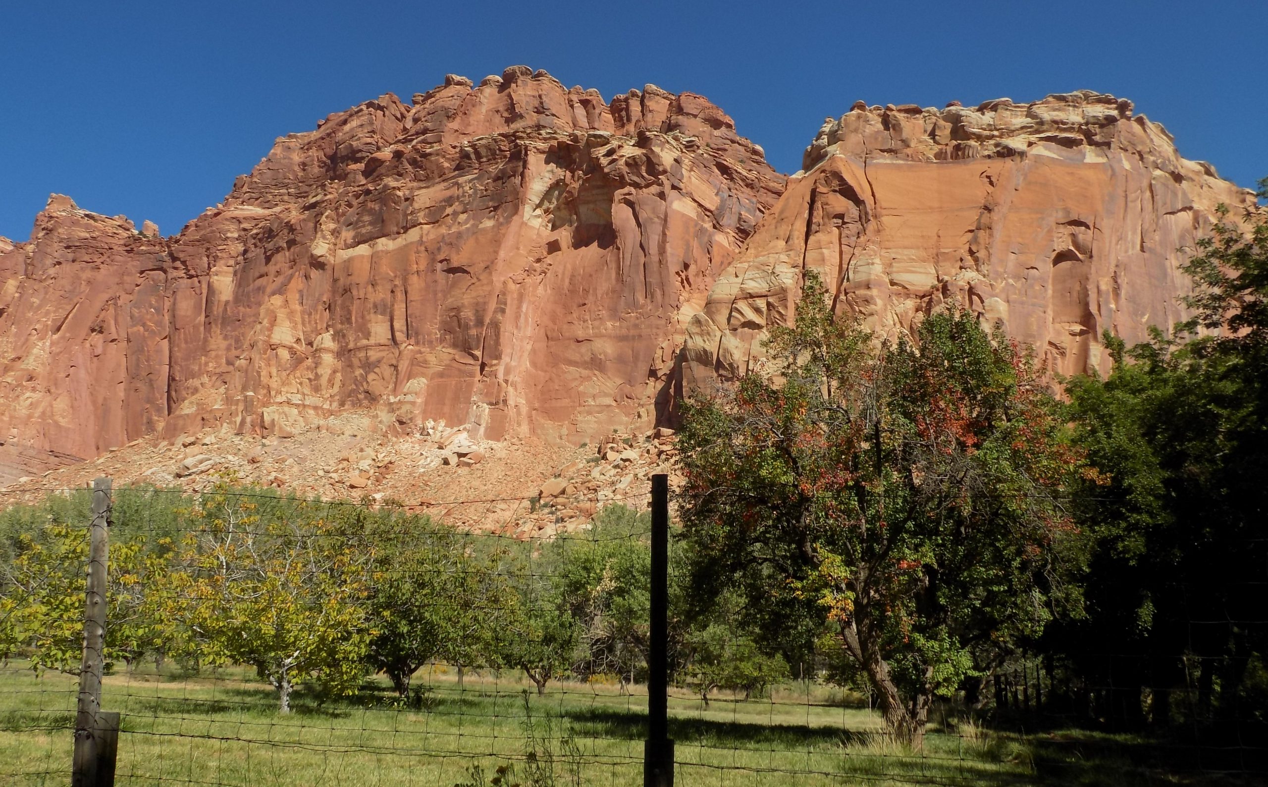
Well, that’s about all for today. We are in camp, it’s not raining, tomorrow we are going to be exploring Capitol Reef National Park which surrounds a long wrinkle in the earth known as the Waterpocket Fold, with layers of golden sandstone, canyons and striking rock formations. Among the park’s sights are the Chimney Rock pillar, the Hickman Bridge arch, and Capitol Reef, known for its white sandstone domes. In the north are the towering monoliths of Cathedral Valley.
Even though we’ve camped here before, it’s such a magnificent park, I can hardly wait to explore it again.
And tonight, for dinner, chili dogs. Homemade chili, lightly browned all-beef Hebrew National franks, on Dave’s killer bread toast, then decorated with grated sharp cheddar cheese and diced white onion. And for a side, the only possible choice – Fritos! (Could the side be anything else? I think not!)
Then a bit of reading and early lights out for me. And sweet dreams about rocks of all shapes and sizes.
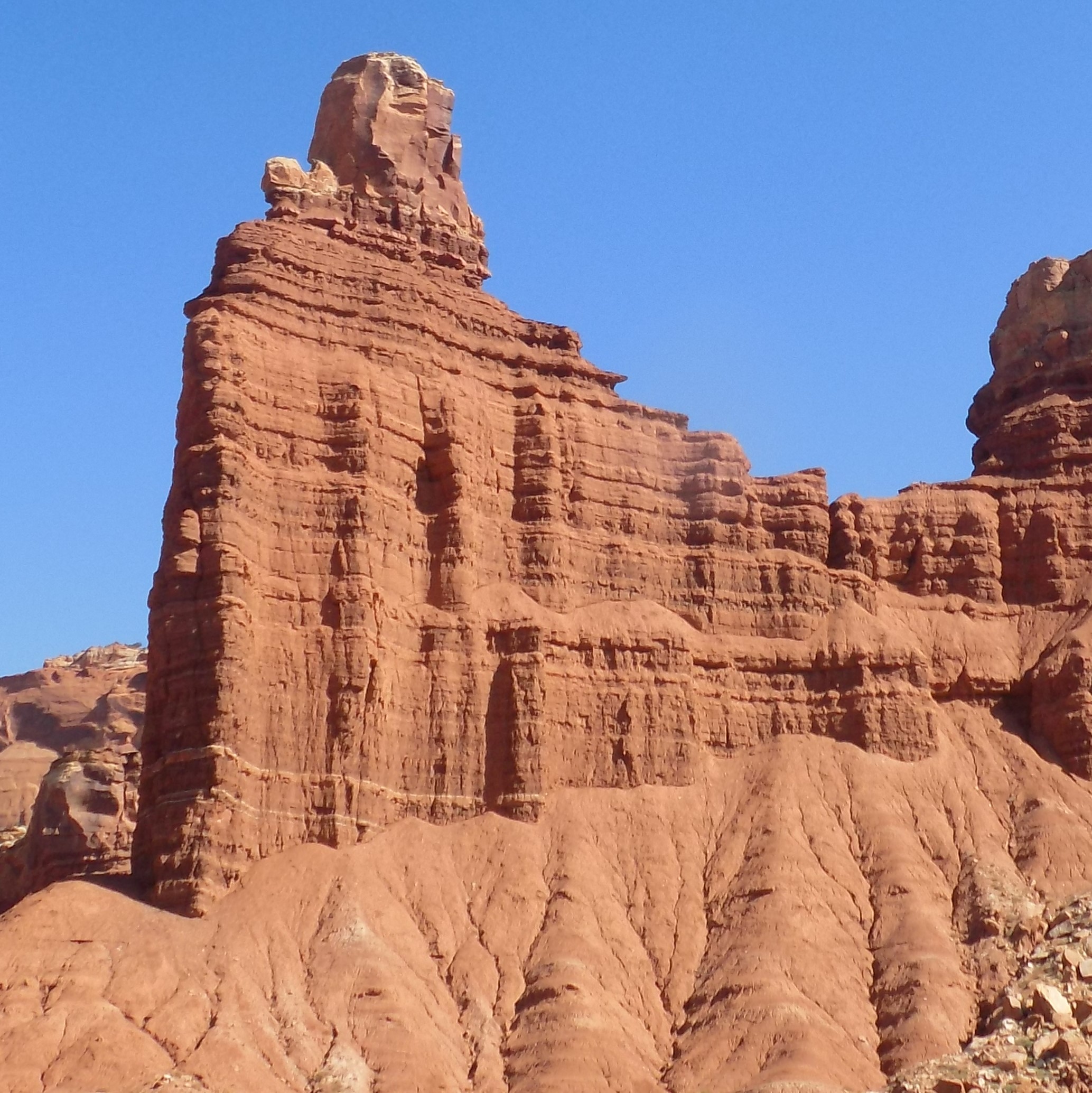
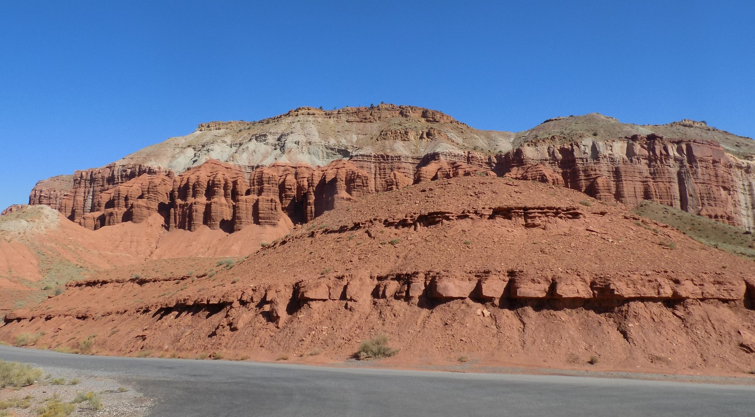
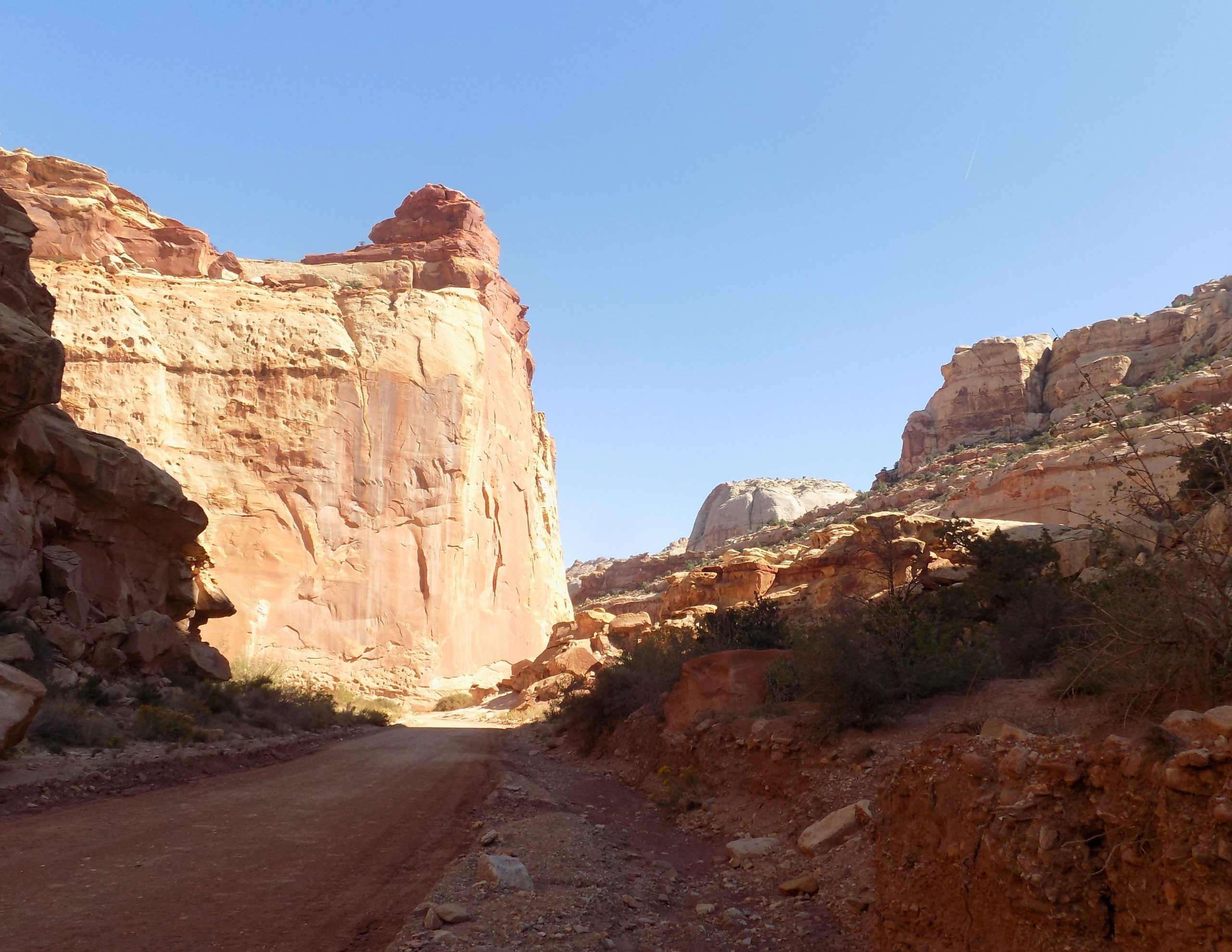
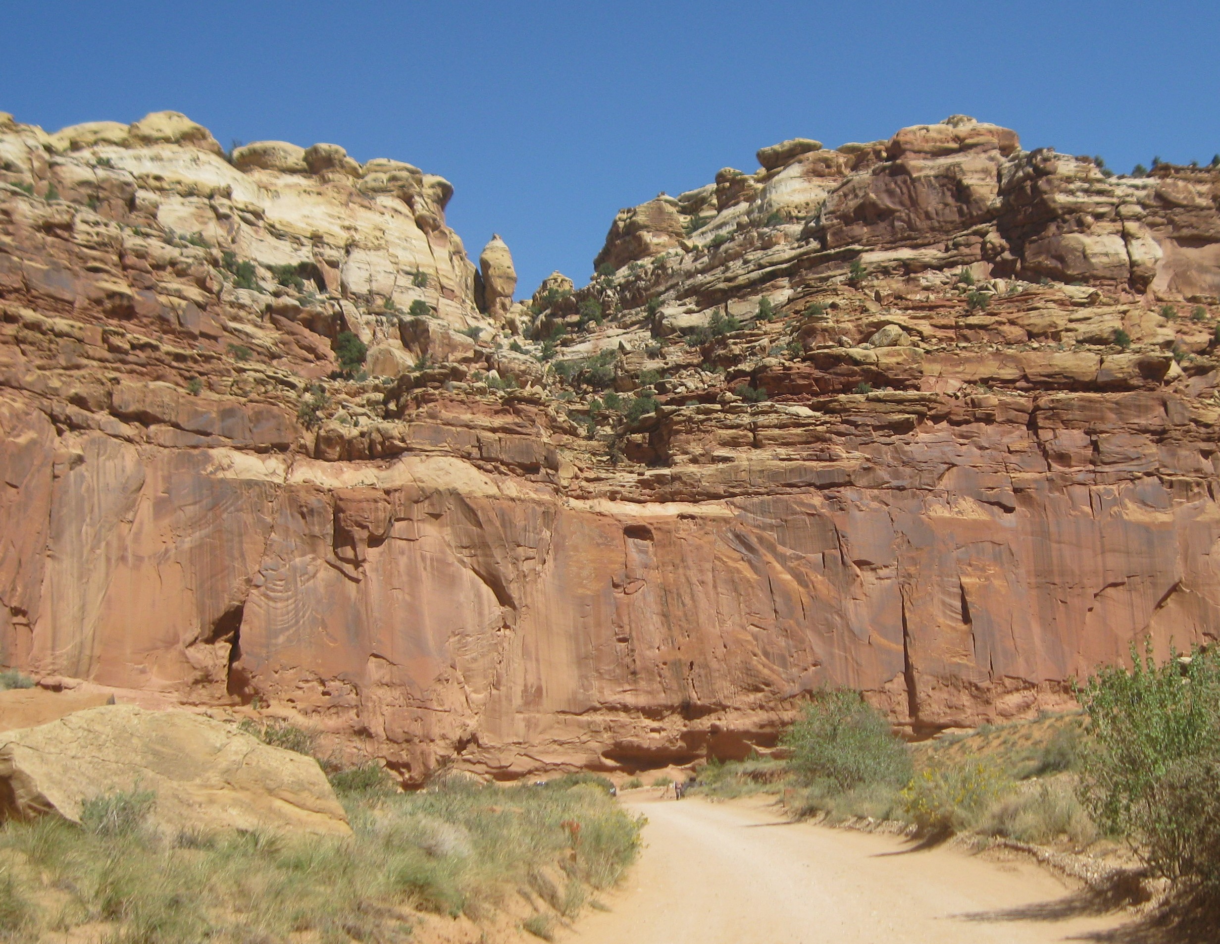
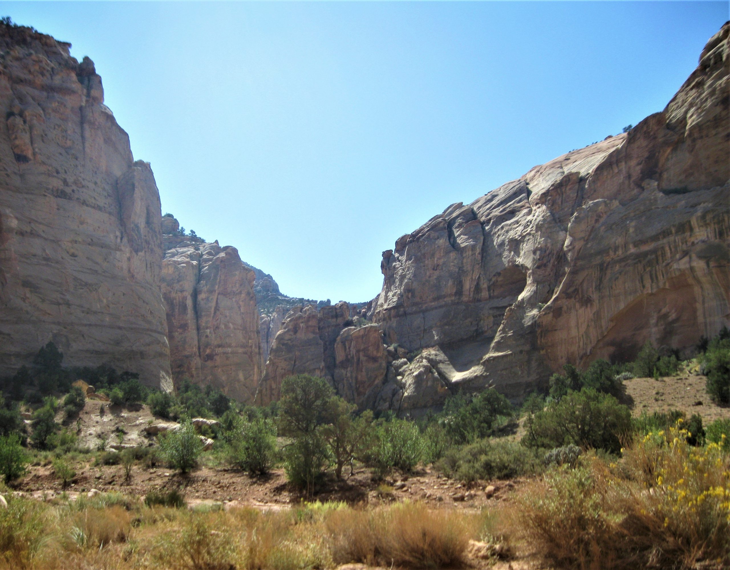
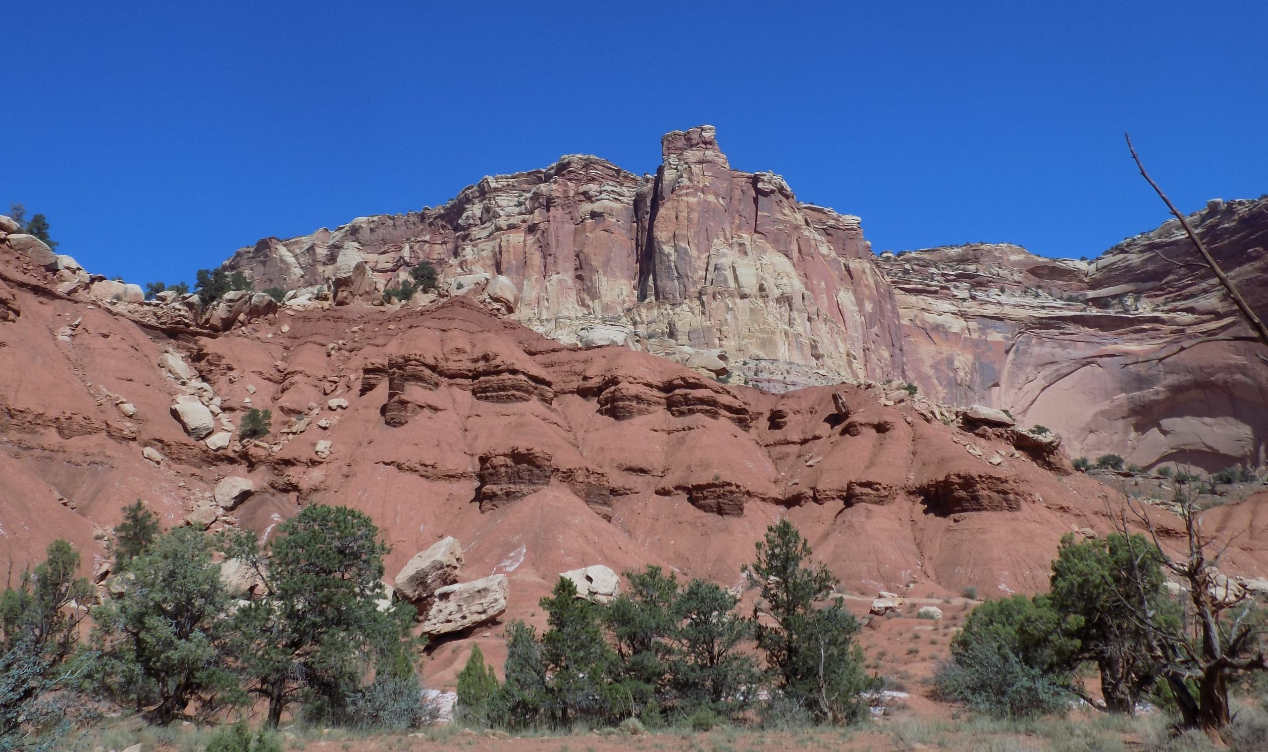
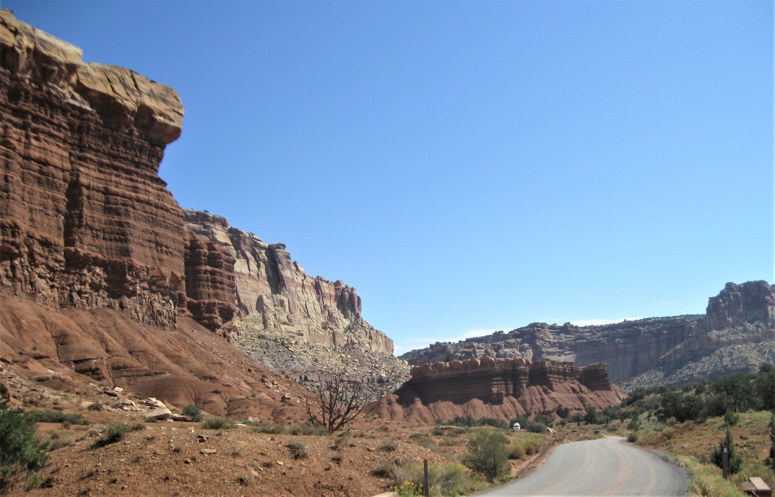
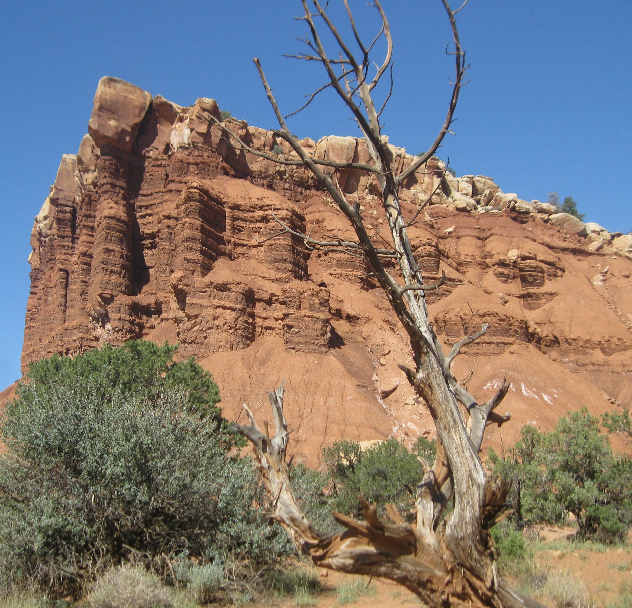
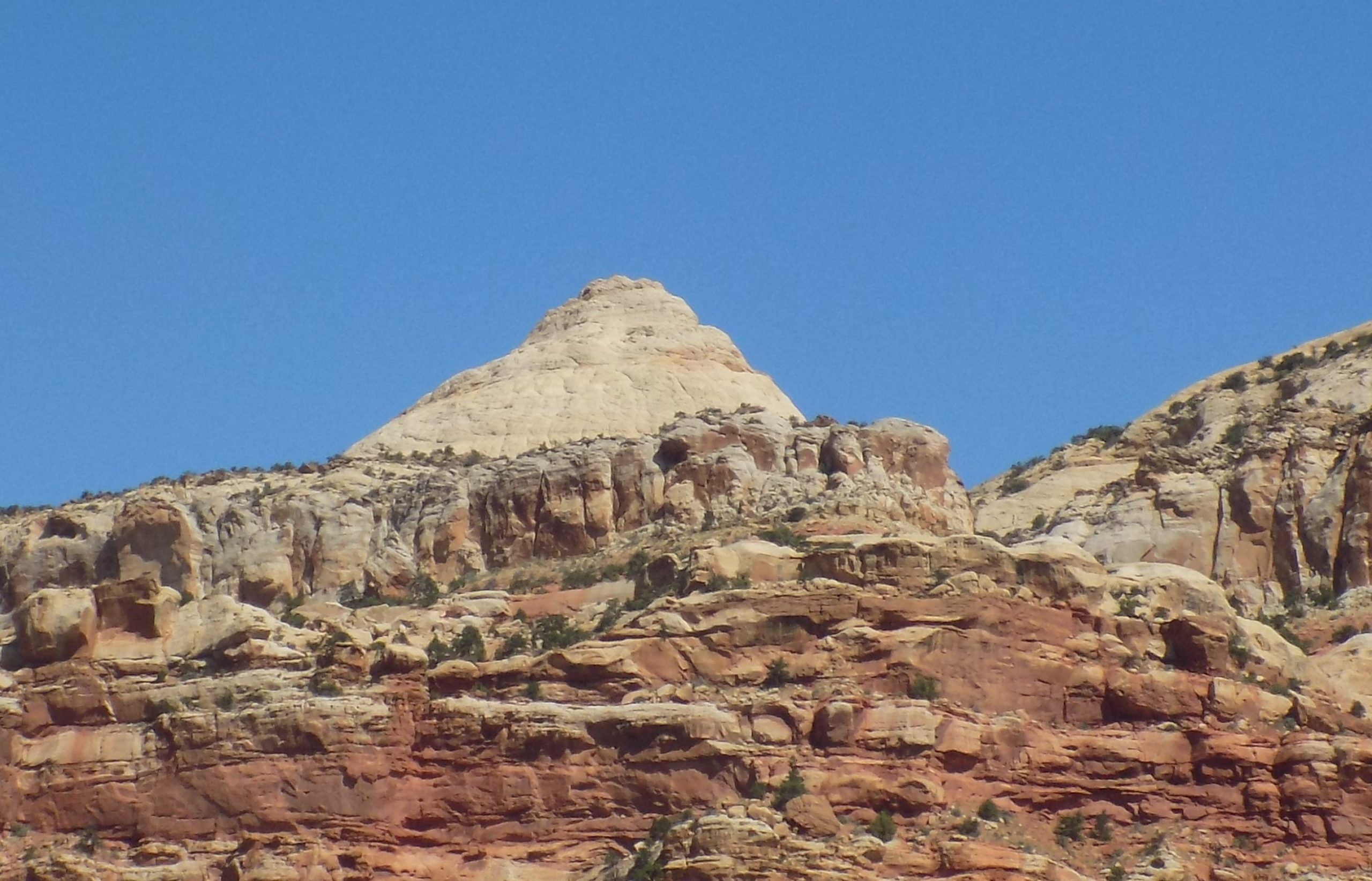
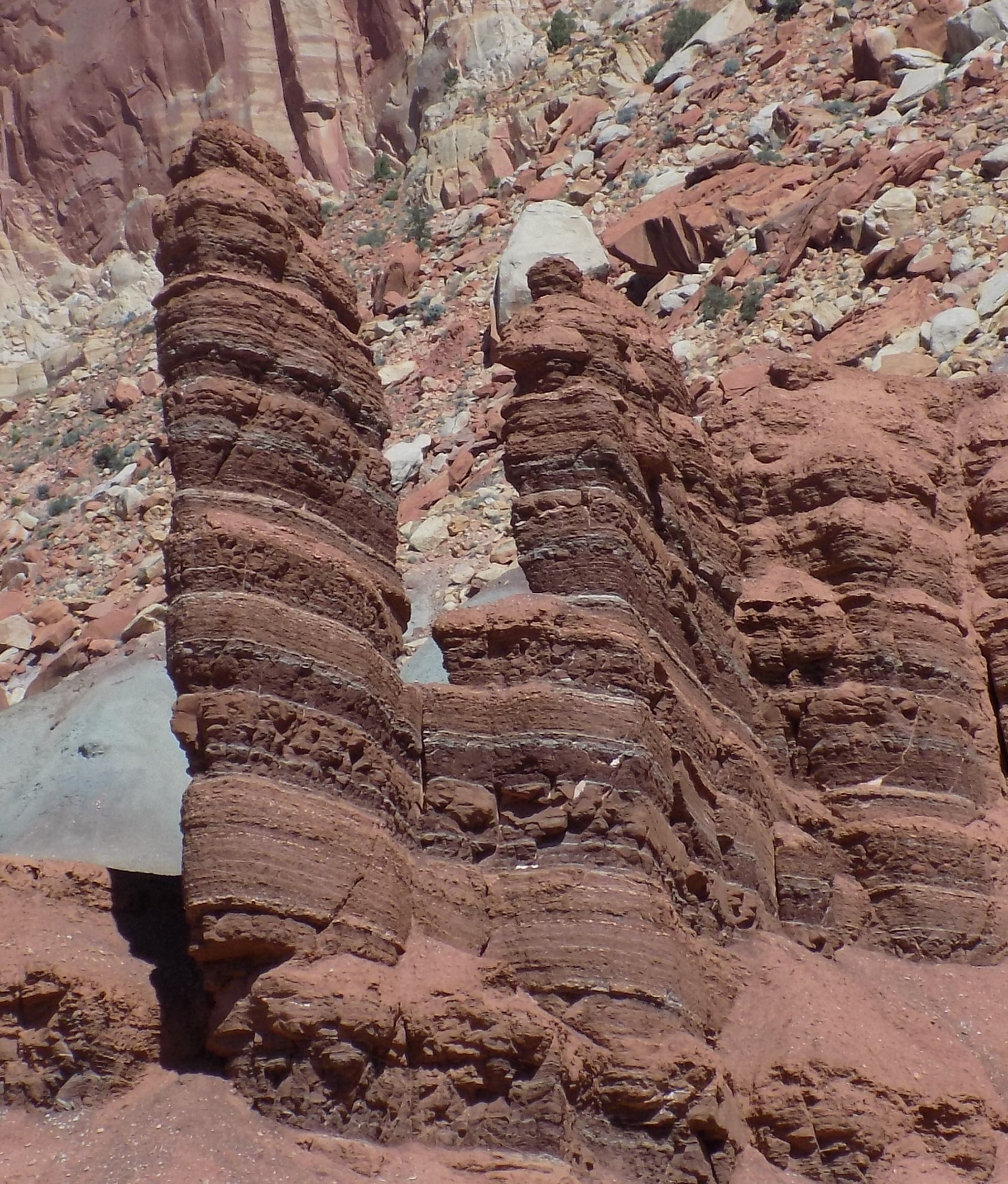
Friday, October 1, 2021 – Sand Creek RV Park
Now I know I should start by providing a bit of history about Capitol Reef National Park. So, that’s just exactly what I’m going to do.
Capitol Reef National Park was designated a national monument on August 2, 1937, by President Franklin D. Roosevelt to protect the area’s colorful canyons, ridges, buttes, and monoliths. However, all 241,904 acres were not officially open to the public until 1950. It became a national park on December 18, 1971.
But the area of Capitol Reef has been a homeland to people for thousands of years. Archaic hunters and gatherers migrated through the canyons. The Fremont Culture solidified around 500 CE (Common Era) (the secular equivalent of AD) from food foraging groups to farmers of corn, beans, and squash. Petroglyphs etched in rock walls and painted pictographs remain as sacred remnants of the ancient saga.
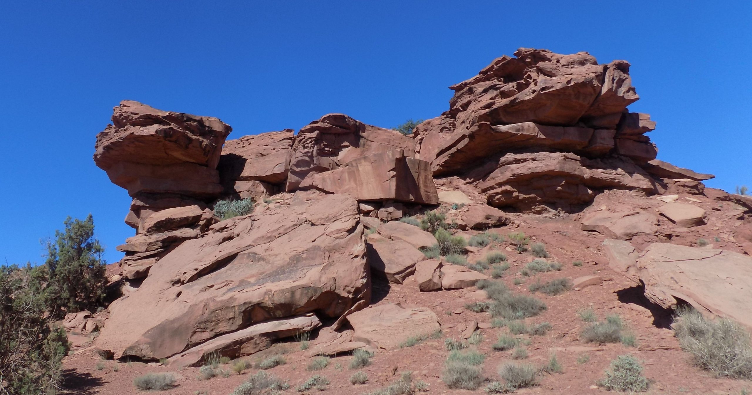
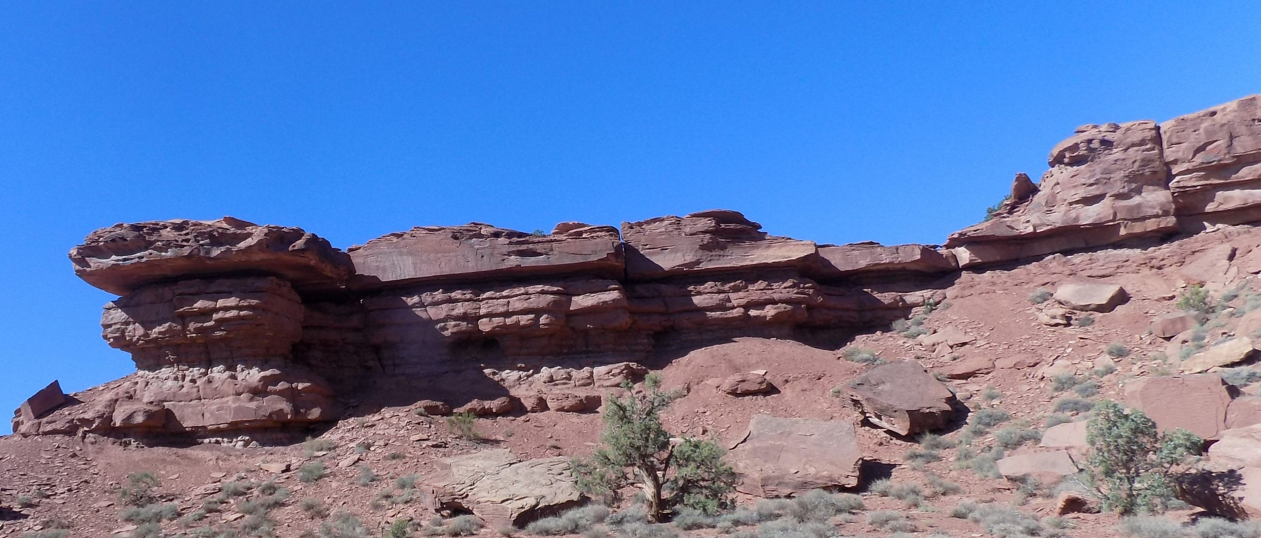
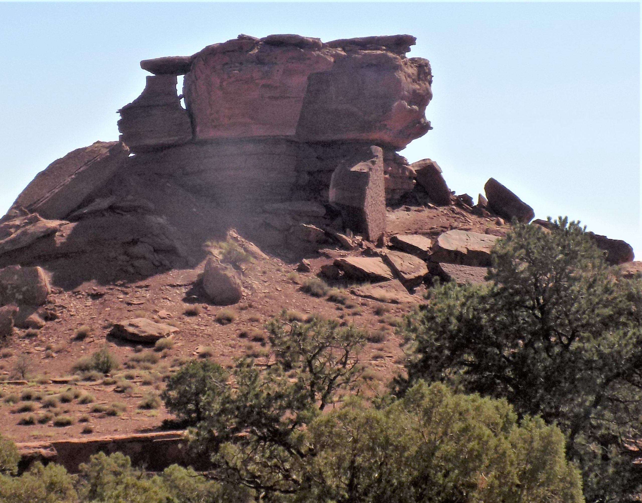
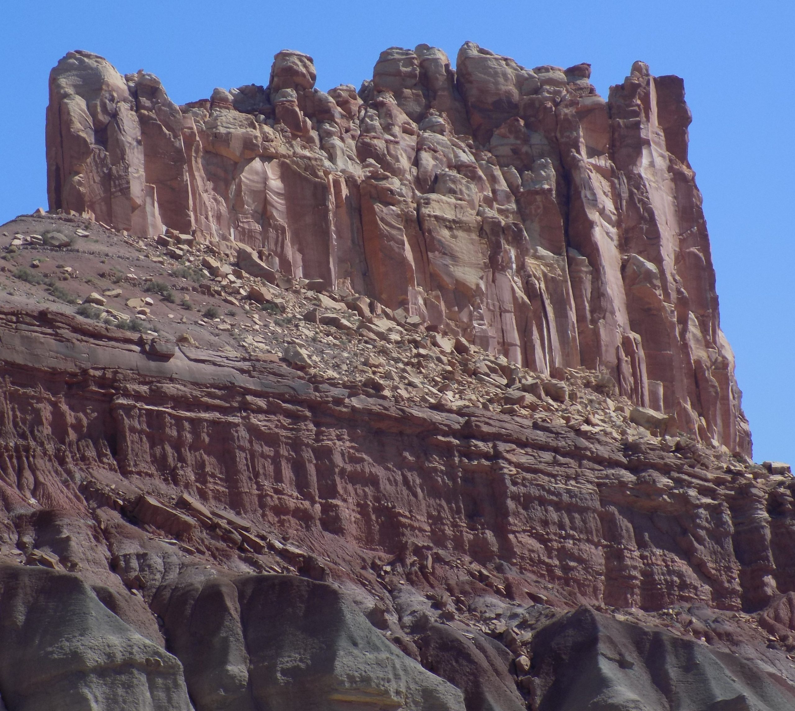
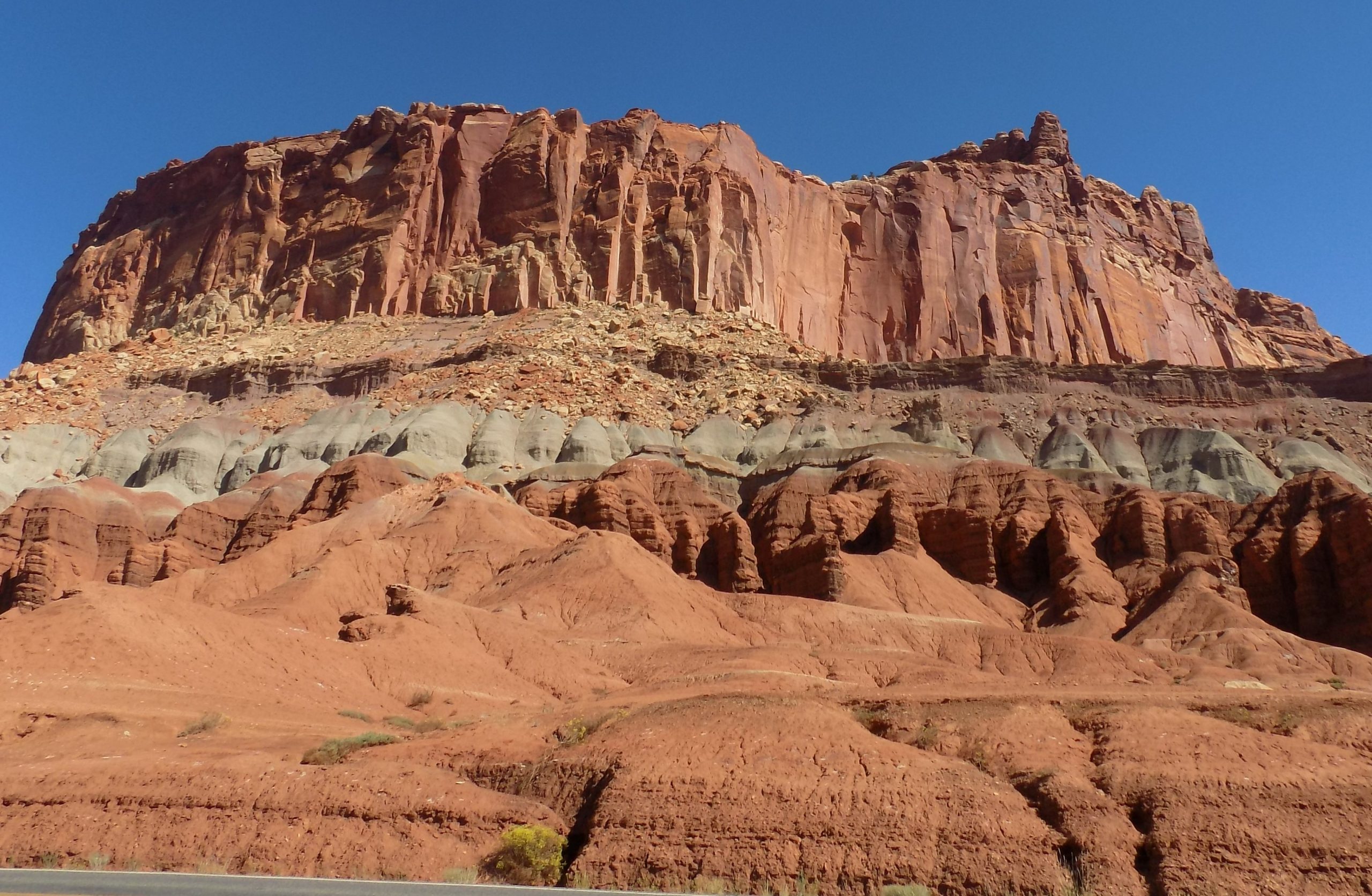
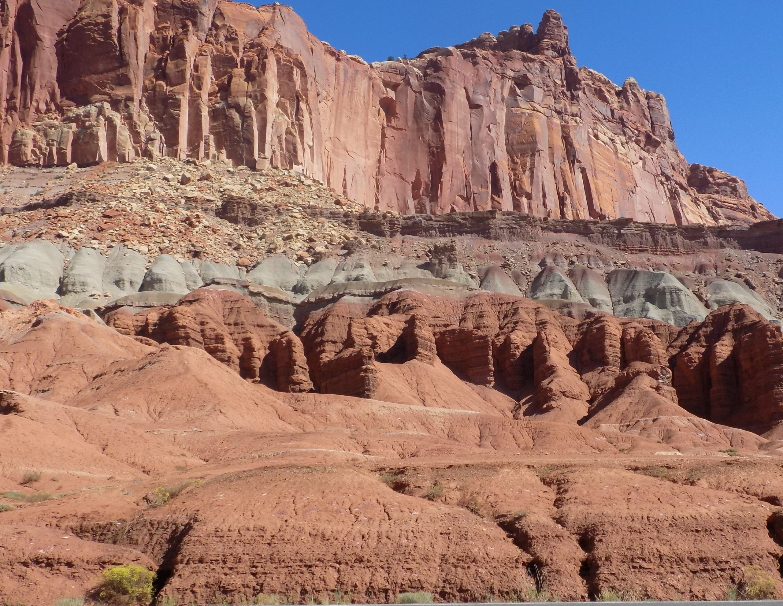
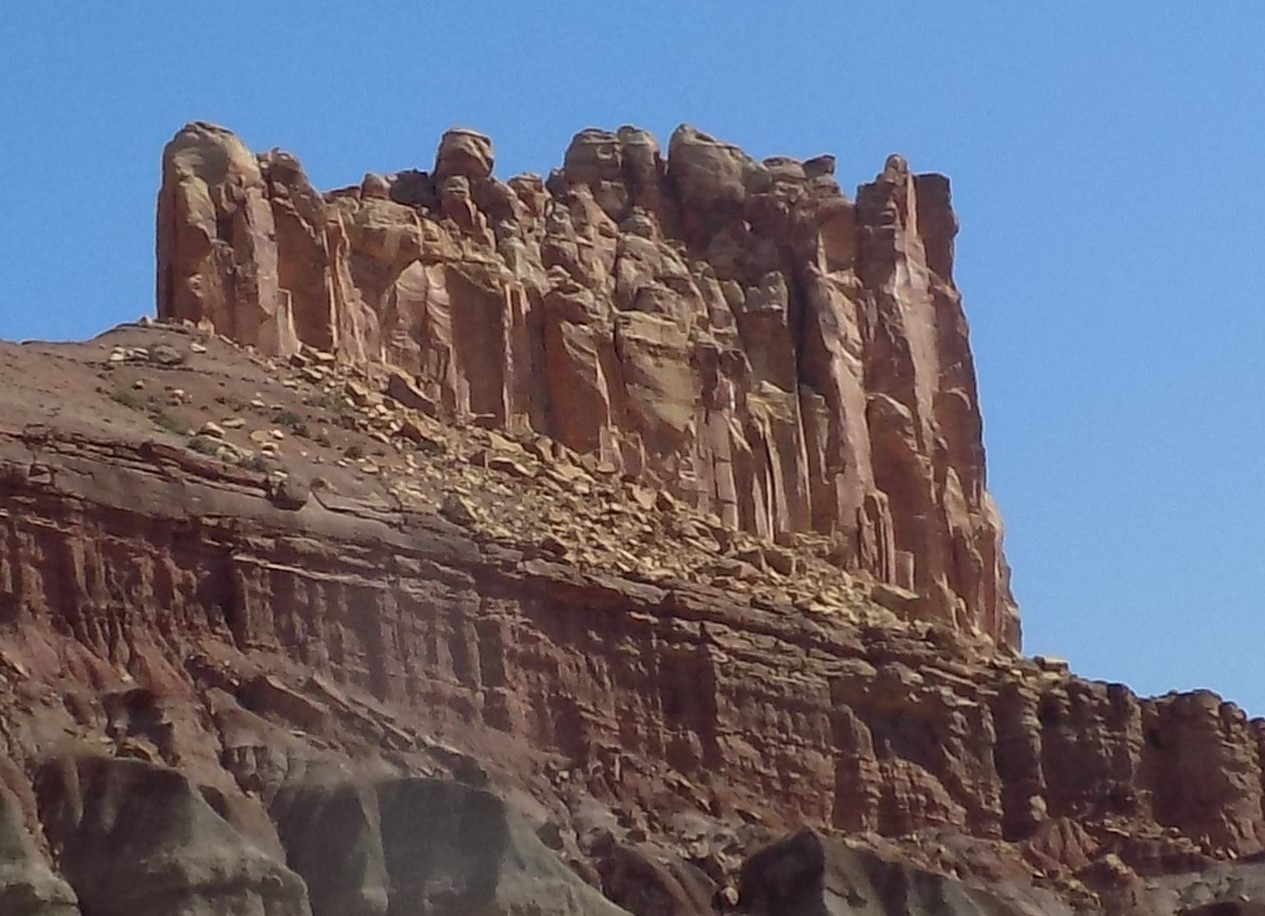
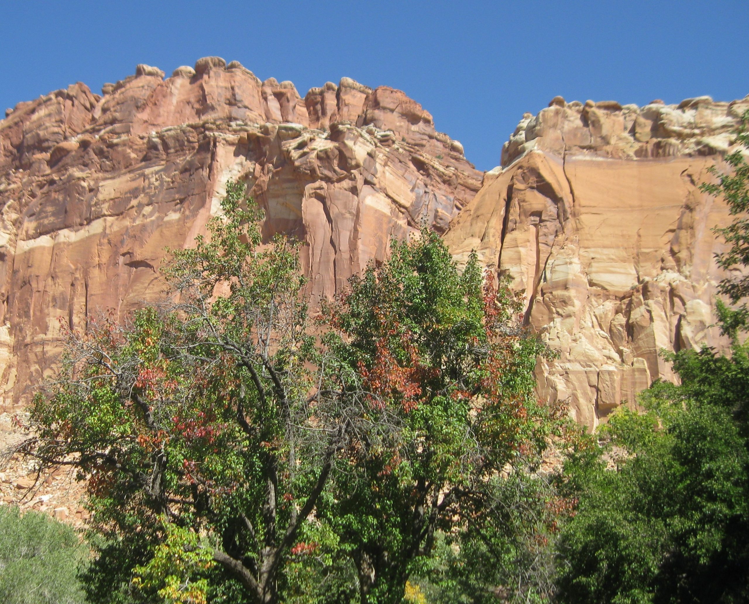
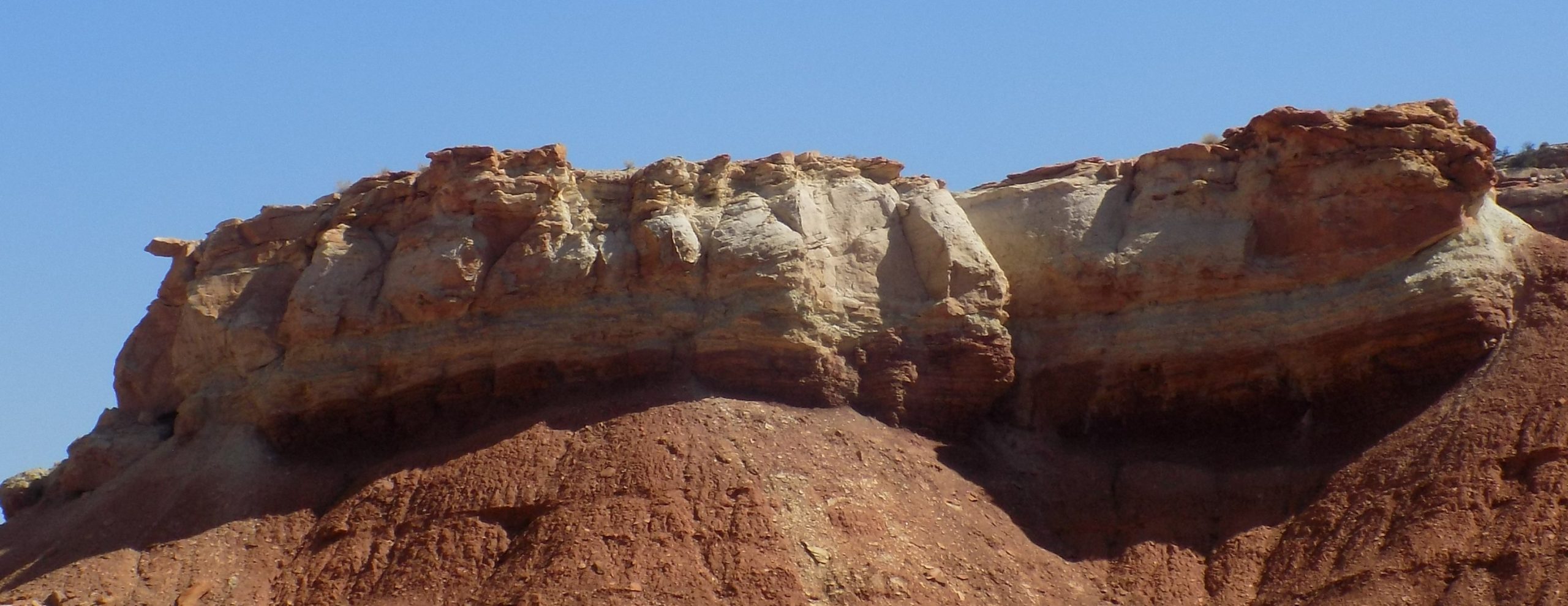
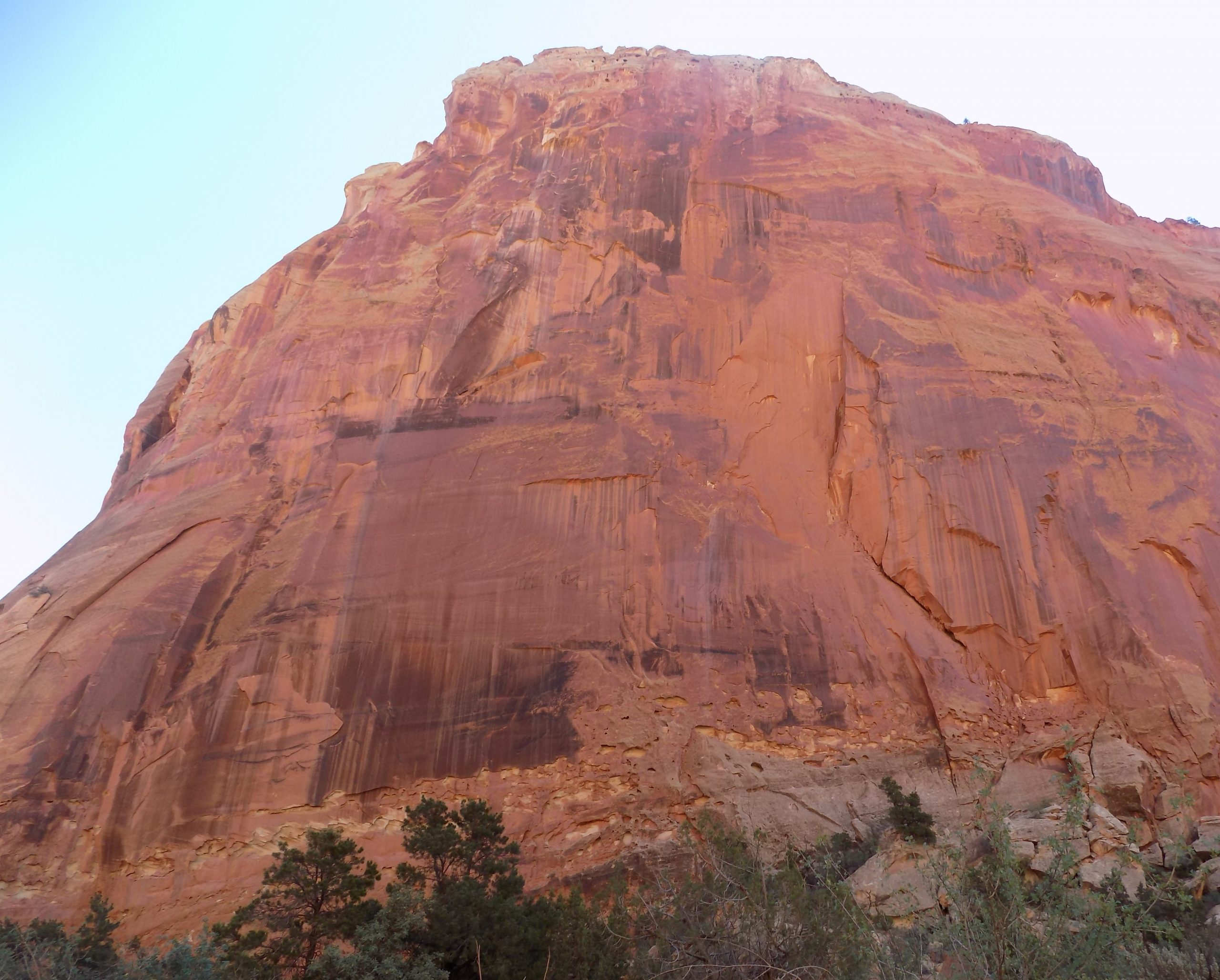
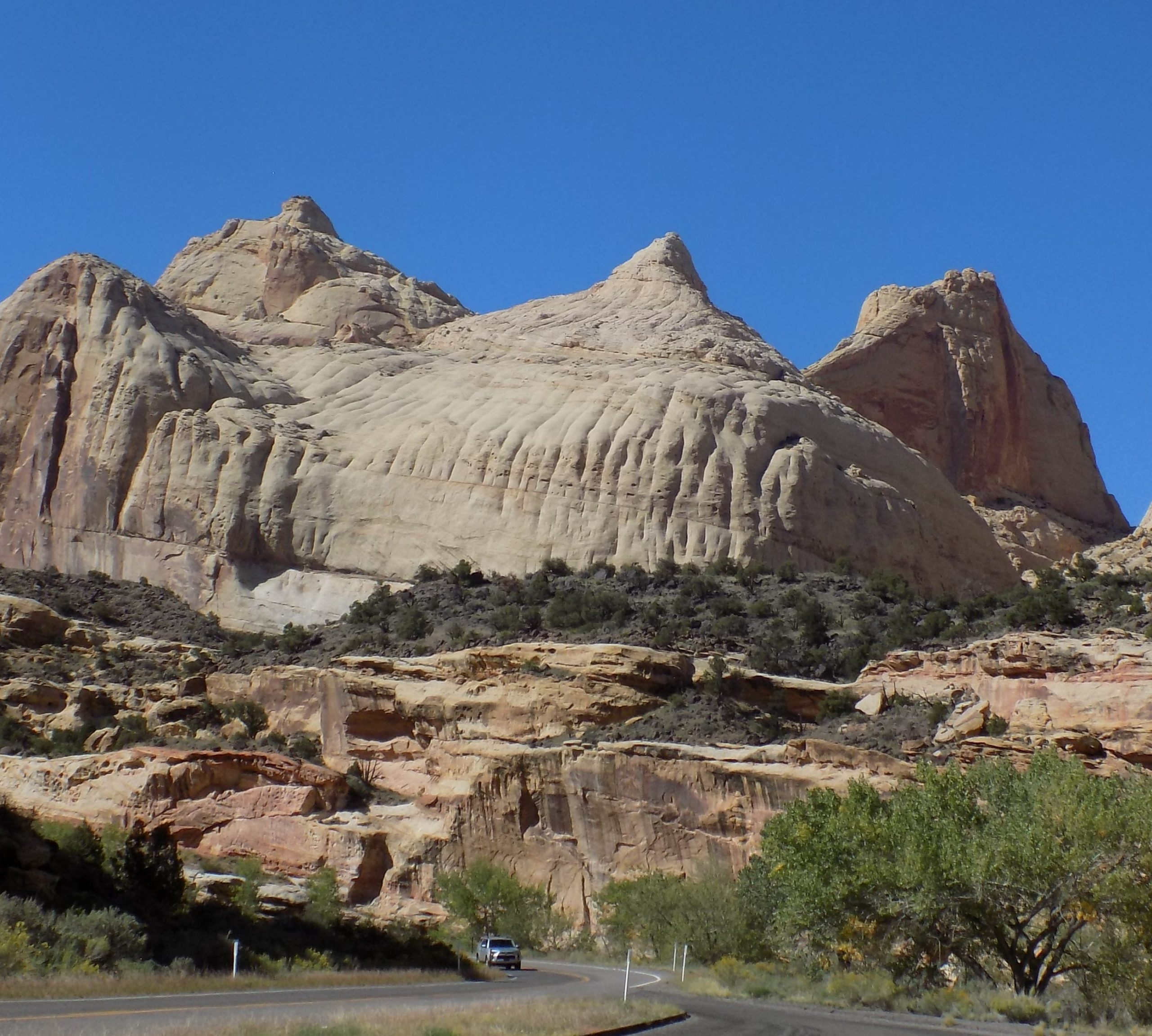
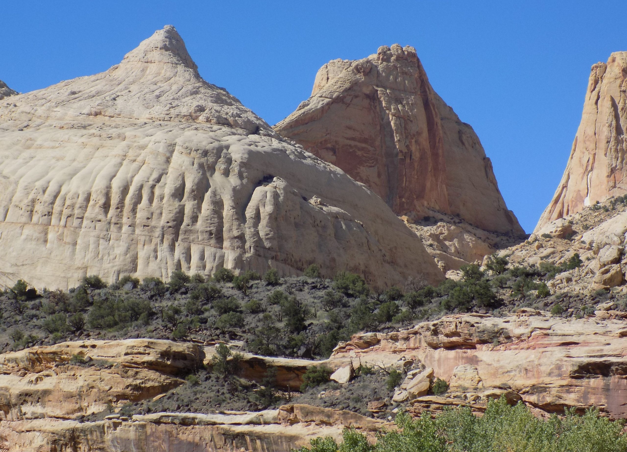
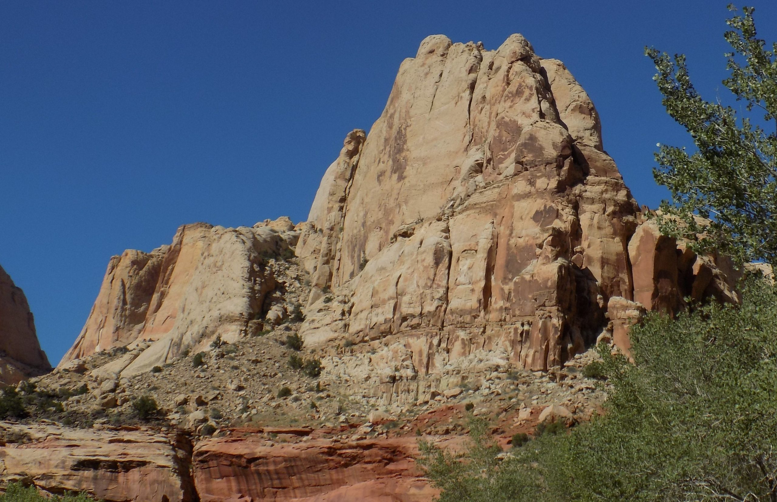
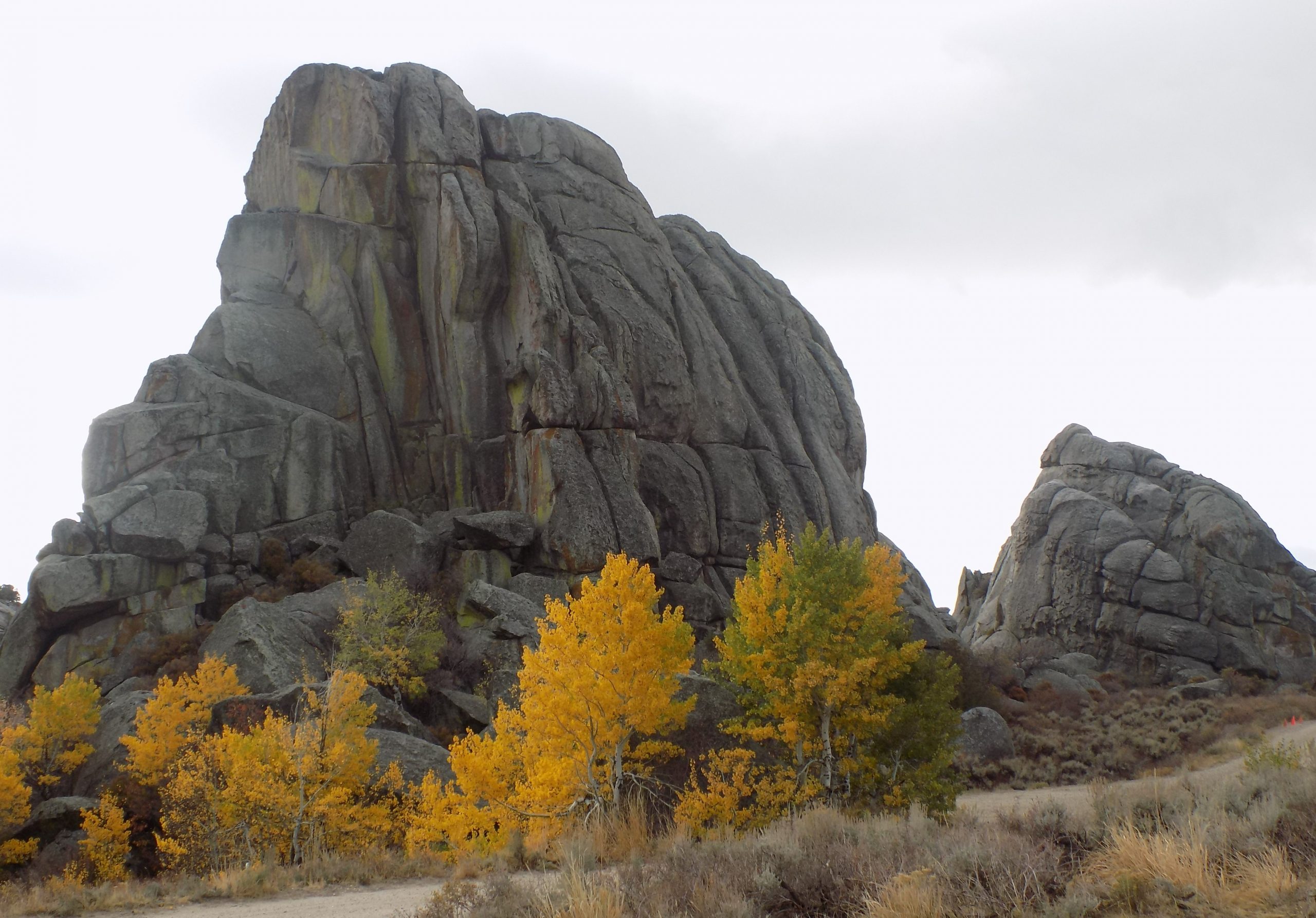
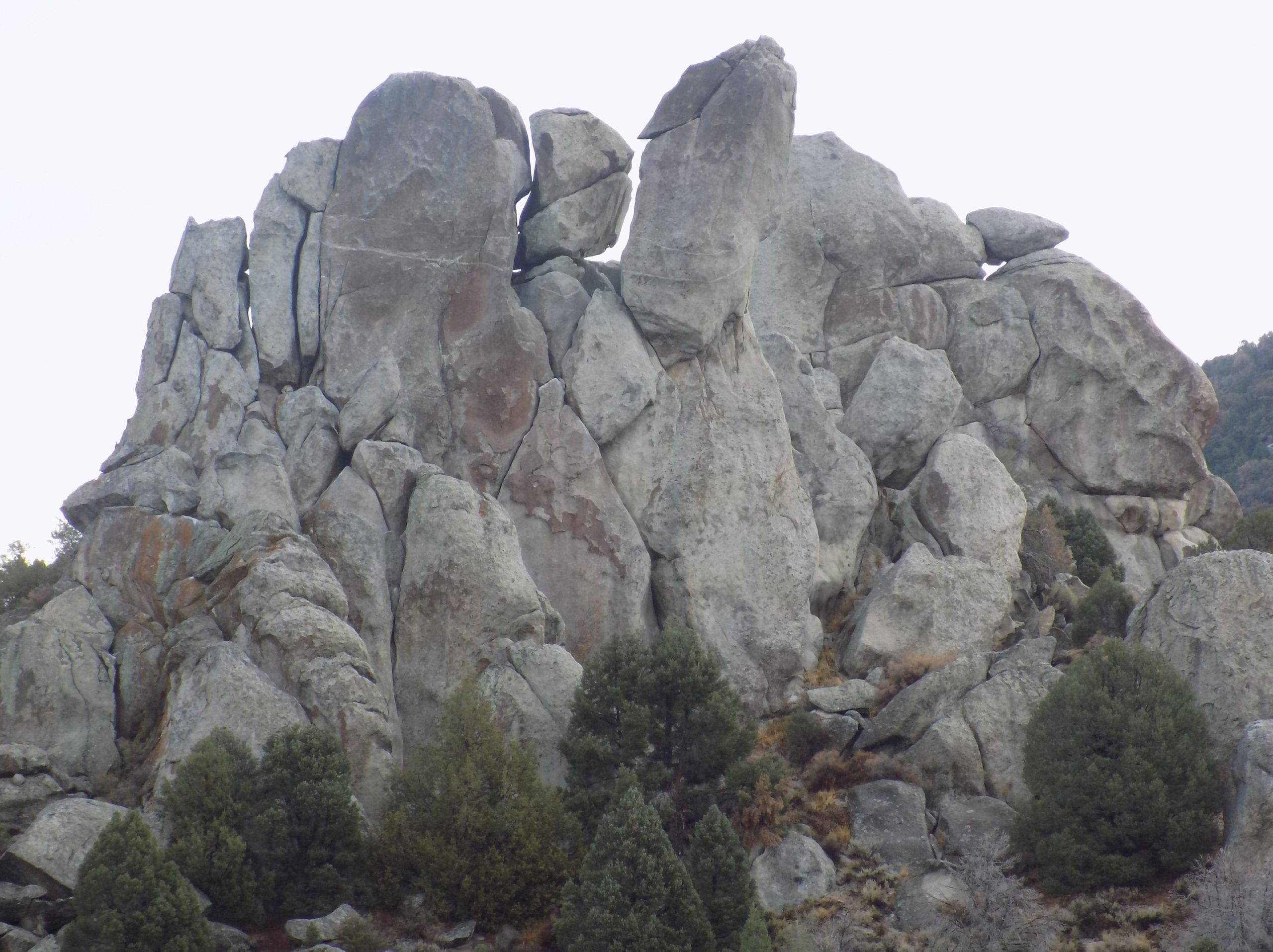
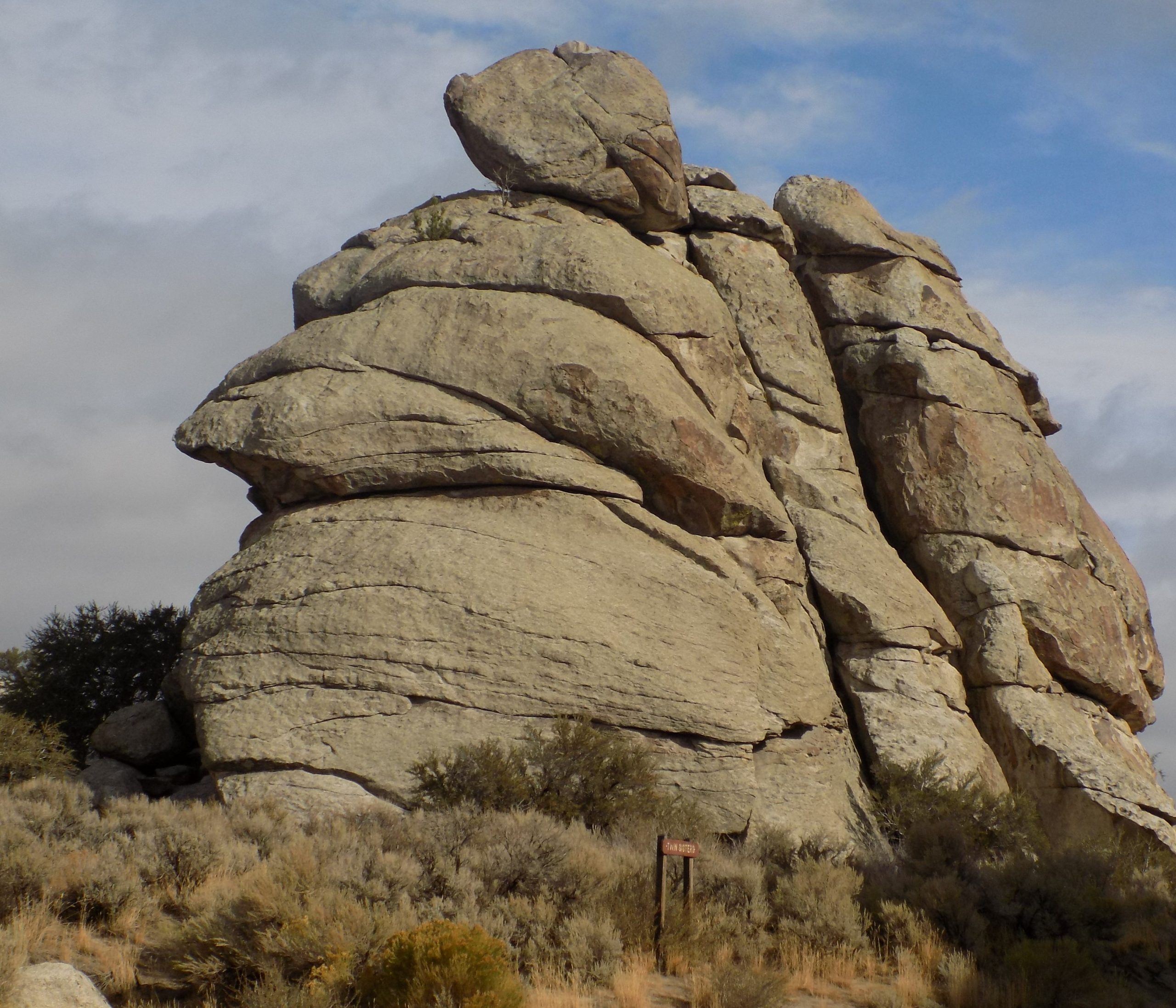
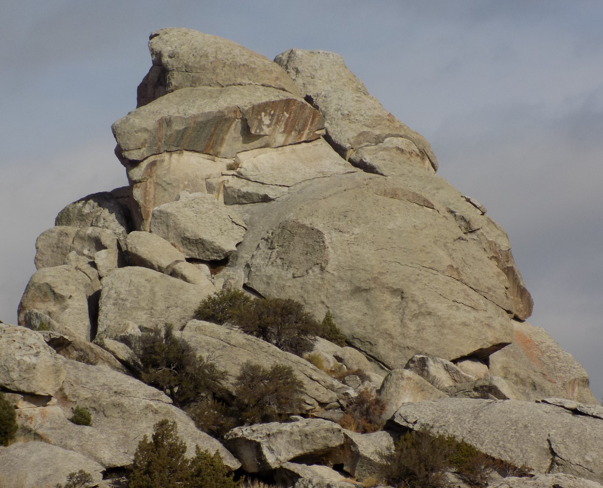
And that’s all well and good, but what I like the most are the rock formations. And I took lots of pictures so I could revisit this area any time I felt like petting a rock. (Which happens quite often in case you were interested!)
Anyway, with a picnic lunch in the back of the truck, binoculars safely on the back seat, and cameras at the ready, off we went. From this point on, most of the dialog will be under pictures, because as they say, pictures are worth a thousand words. And I wish I knew the names of all the amazing rock formations. But I don’t.
Saturday, October 2, 2021 – River’s Edge Campground – Heber City, UT – site 3
I’ve decided to call today the long and winding road (to visit son Sven, daughter-in-law Jill, and various and sundry grand-kidlets in SLC.)
The first part of our journey from Torrey was to Loa, heading NNE on state route 72. High sagebrush country with Aspen tree groves interspersed along the upper ridges. Very little traffic. From a high pass of 8500-feet we gazed eastward over canyon lands country. The road wound through upland valleys where small groups of cattle grazed beside shrinking ponds. The route ended by descended gradually to cross with I-70.
Now most major crossings, or even crossings with semi-major highways have some kind of service available. This meeting of highways was completely lacking in service. Thank heaven we didn’t need gas. So, onward hardy travelers. Next, the second leg of today’s journey – state route 10, from interstate 70 to Price, Utah.
Long, easy driving along the east edge of the Wasatch plateau passing through small towns like Ferron, Castle Dale, and Huntington where we paused at a delightful state park on a reservoir to change drivers. After preceding west a few miles on US 6 we branched off onto leg three of today’s travels – US 191 and 55 miles to Duchesne.
This wild route climbed 4,000-feet in 20 miles to a 9,100-foot pass where we paused to eat at the summit under a mixed rain and hailstorm.
Quickly descending from the pass, the road then wound through 20 serpentine miles of Indian Canyon, one of the longest canyons we had ever experienced.
In Duchesne we turned west onto US 40, leg number 4 of today’s adventure. 70 miles to Heber City along the Strawberry River valley. We passed 2 major reservoirs and flitted thru hills ablaze with fall colors. We arrived in camp around 4:45 pm, ready for a safe-arrival drink, which BTW we enjoyed thoroughly. Then smoked salmon pasta and cucumber salad for dinner. And an early to bed for me after writing up this day’s report and reading a few pages of my book.
Tomorrow – dinner with Sven and gang.
Sunday, October 3, 2021 – River’s Edge Campground
After a lazy morning, we decided a bit of provisioning was warranted. So, into Heber City and to Smith’s grocery store for us. After securing a few necessities including English muffins, bagels, an onion, and a small shallot, we came back to camp to stash our goodies. Then after a small lunch we decided to take a short drive before descending on Sven and Jill at the 3:30 agreed upon arrival time.
The drive we chose actually started very near our camp. Just across US 40 and up a valley to the Wasatch Mountain SP. After driving through the RV camping area, we both decided we would like to stay at this park next time we are in the area. Of course, it didn’t hurt that the trees surrounding every trailer site were in full fall color. But we shouldn’t assume that next time we make a fall visit, the trees will be as amazing as they are this year. Because we have heard from campground hosts through waitresses that this year is definitely special. But I’d come back anyway. Perfect location.
After leaving the camping area of the park, we turned left onto a fairly newly paved road that led up and over Guardsman Pass with turns for Park City and the top of the Cottonwood Canyon road and the Brighton Ski area to Salt Lake City. We didn’t drive all the way to the top, but far enough that the vistas were amazing and the trees absolutely glorious.
Now this is not a road that you would want to haul a trailer up and over. Very narrow, very windy, and with few areas to pull off. And because it was a beautiful fall day and the road had been recently paved, every adventurous hiker and biker from miles around had decided to take a Sunday drive or adventure. The cars, trucks, motorcycles, side-by-sides, etc., were not quite bumper to bumper, but pretty darn close! And because the road was so steep, by the time we got back to the bottom the air was definitely perfumed with the smell of hot brakes.
So, back to camp, a small lunch, change of clothes, and into SLC to visit with Sven and family. (And see their new house!)
Arrived right at 3:30 and the beginning of a wonderful visit. Sven and Jill had just gotten back from 10 days in Spain. Seven of those days on a bicycle tour. So, after a lovely dinner where we were joined by grandkids Lauren and Ethan, it was back to camp for us and an early to bed for the weary overseas travelers. Another beautiful day of vacation.
Monday, October 4, 2021 – River’s Edge Campground
With a few hours on our own before traveling into SLC to visit with Sven and Jill again, we decided a nice short trip up the Mirror Lake highway was warranted. Heading east from Kamas through the national forest, Mirror Lake Highway is one of the most popular mountain routes in the state. The road winds through farm and ranch lands and rises to heavily forested, mountain terrain, accented by meadows and rugged peaks. There are numerous access points into the High Uinta Wilderness along this byway. And of course, the trees were as beautiful here as they were throughout the state.

As we were driving along, we made a very interesting stop at a point of interest. Quite an unassuming small parking area for what turned out to be a very different kind of scenic attraction.
The Duchesne Tunnel is a six-mile-long engineering marvel that is a key to providing water to Utah County. The outflow from the tunnel can be viewed at this stop. Although some overgrown trees obscure a good view of the tunnel opening, a 100-foot-long path leads about 40 feet downward to a fenced viewpoint. (Of course, Andy went to the viewpoint.)
The concrete-lined tunnel is 9.2-feet in diameter and goes right through a core of the Uinta Mountains, taking water from the north fork of the Duchesne River (a tributary of the Colorado River) to deliver it on the other side of the mountain, to the Provo River watershed. What you see in the picture is the beginning of the outflow from the tunnel.
We spent a good half hour exploring around Mirror Lake.
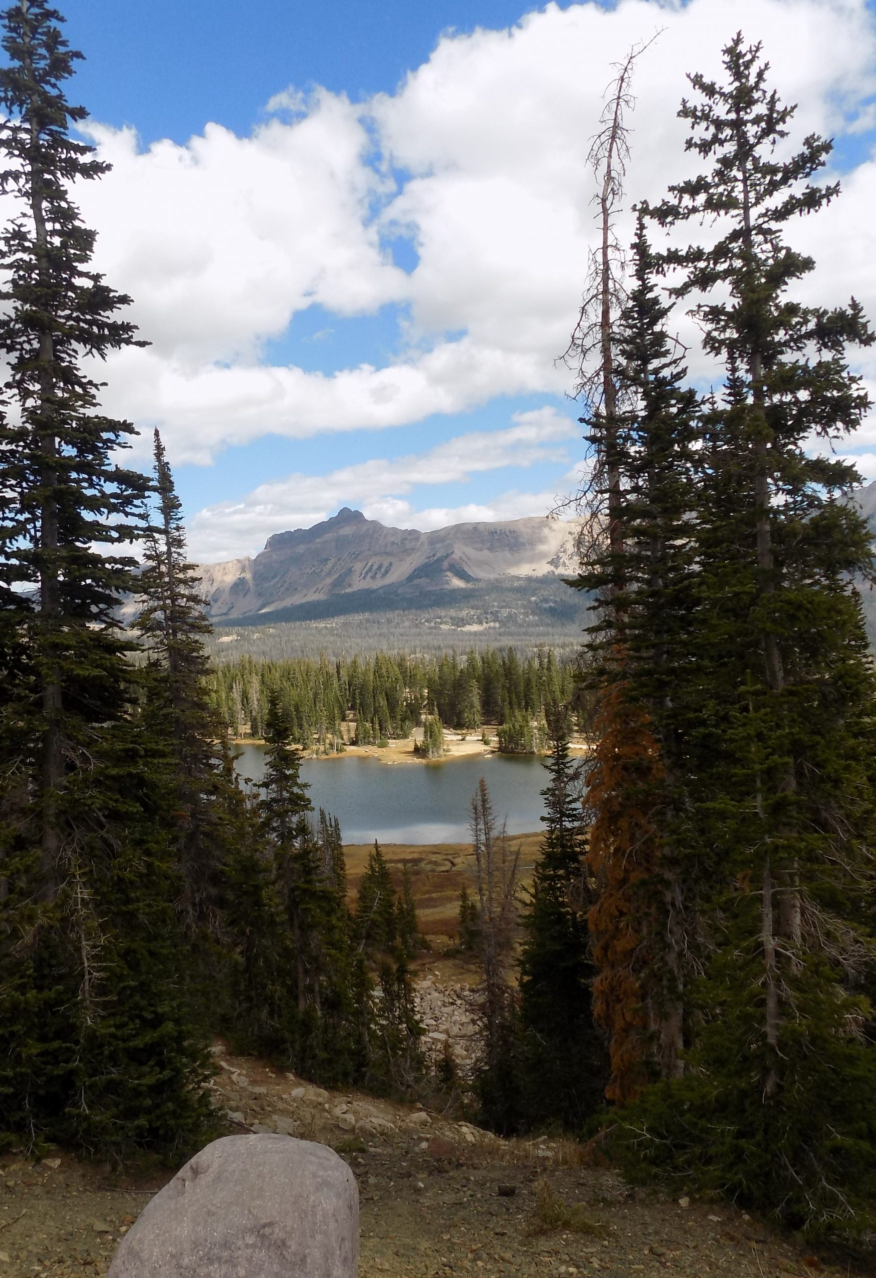
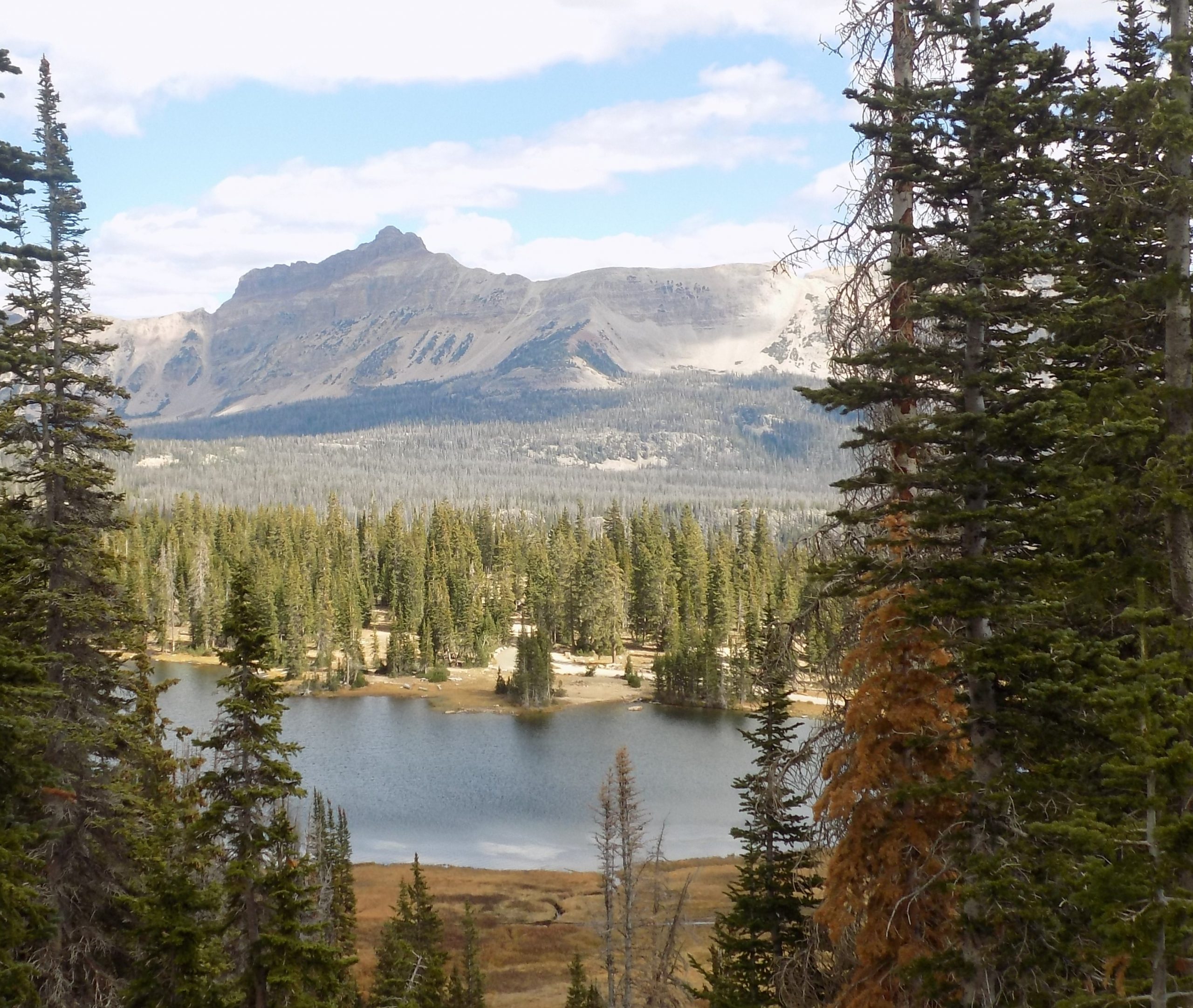
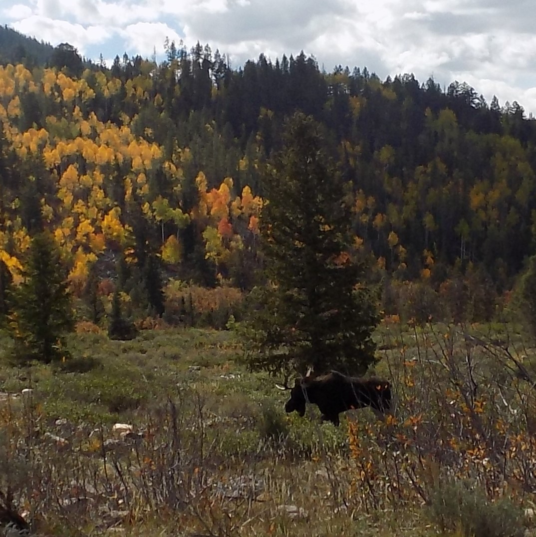
After coming to the end of the road, we descended back to our camp still absolutely thrilled by everything we saw, including a moose munching away by the side of the road halfway back to our camp. For this gal, there could never be too many moose sightings.
After a brief stop at our trailer for a nibble, it was back to SLC for a late afternoon and evening visit with the kids.
After dinner with Sven and Jill at a lovely Indian restaurant, and several hugs good-bye, it was back to Heber City and straight to bed. When we travel I am often in bed by 9:00 pm. So, staying up to 10:30 was a real stretch for me. I have no idea if this vacation in continuous high elevation is playing a part in my unusual attraction for my pillow, but I know my nose and sinus are suffering. So, I’m choosing to blame the high elevation on my need for additional sleep. (And no, science or any factual information plays no part in my diagnosis.)
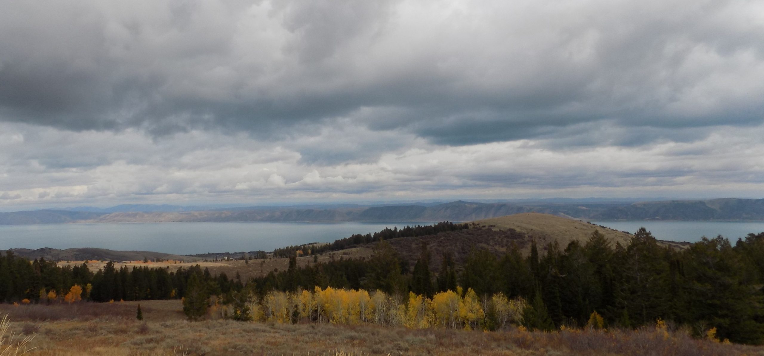
After a slow morning, and get away from camp, it was on to Bear Lake to meet up with Jim and Margo. Always the best of times with the best of friends.
Tuesday, October 5, 2021 – Bear Lake/Marina Side KOA – Garden City, UT – site 155
Lazy morning with us leaving camp at about 11:30. (Really late departure even for us!)
Now, never being the kind of travelers to take the easiest or fastest route, we decided to travel a couple of new roads toward our destination. We knew that our campground was only about 150 miles away, so that meant we could meander and still arrive in camp at a decent time. So, we chose to take the route that led us through the Logan Canyon. (Which BTW was new to us.)
Logan Canyon is in northeastern Utah. The canyon cuts its way through the Bear River Mountains, a branch of the Wasatch Range. Logan Canyon is popular for both summer and winter activities. The canyon rises to an elevation of approximately 7,800 feet above sea level after a vertical climb of about 2,900 feet from the city of Logan. Just beyond the summit is a very steep road (8% grade) leading down into the Bear Lake Valley with scenic overlooks that provide views of the lake. The western terminus of the canyon is at Logan in the beautiful Cache Valley, and the eastern terminus is at Garden City on Bear lake.
I can’t think of any other drive that delivered better fall color in the trees. And that is saying something, since the whole of Utah was ablaze with color this year. Along with the various peaks into adjoining canyons and glimpses of high rock formations, this canyon was absolutely delightful to travel through. It is now one of our favorite roads in this area that we will certainly wish to visit again on a future trip.
As you drive through the area you pass checkerboard farms, which radiate the gold, amber and pumpkin colors of the harvest season. Trees along roadways and streams are ablaze with yellow, scarlet and brown hues, often bumping up against the evergreens on the mountainsides and the deep blue waters of the many area lakes and reservoirs. The views are spectacular.
But I must say, the decline into Garden City was a bit scary. Twisty and steep roads are not a pleasant combination especially when it feels like the trailer you are supposedly hauling is trying to beat you down the hill. OK, of course there are brakes on the trailer. But still, I always heave a sigh of relief when we beat the trailer to the bottom!
We arrived safely in camp. And since we hadn’t stopped for lunch along our drive and it was nearing 4:00 pm, we had a nice nibble or cheeses, crackers, etc. Then we joined Jim and Margo in their new rig for cocktails. They had eaten a large late lunch, so after making plans for the following day, we headed back to our trailer for another small nibble and an early to bed. Life just doesn’t get much finer!
Wednesday, October 6, 2021 – Bear Lake/Marina Side KOA
This was another of those “no hurry” mornings that I love so much. After a nice leisurely coffee and writing yesterday’s trip report, it was time to walk over to Jim and Margo’s mega mansion motorhome for brunch. A fabulous hash made of small cubes of potatoes, onion, and red bell pepper sautéed to perfection. Then cubed ham and cheese. As we arrived Jim asked us how we like our eggs. (This is truly going to be another fine dining experience with Jim at the helm.)
After eating our fill, it was off to take a ride back up the road we came in on (Logan Canyon Scenic Byway) yesterday. (Amazing how the hill climb out of Garden City was no problem at all without Pullwinkle (our trailer) trying to keep up with us.) Until you have pulled a trailer up and over a pass, you have no idea how trepidatious it can be. At least, I had no idea until we pulled our first trailer some 29 years ago. But after all the adventures we have had pulling a trailer, I kind of know what to expect. But then, every damn pass is different. Some have easy grades and some make you so scared you almost wet your pants. And throughout the years we have seen many of both. So, at least for us, we like to park the trailer and drive the really hairy passes with our trailer safely parked at a campground. It’s not always possible, but definitely the preferred approach.
This scenic drive begins on the Logan Canyon scenic byway. A seven-mile paved road climbs to a height of 8050 feet (2454 m) to reach Tony Grove Lake and the Mount Naomi Wilderness area. The area around this glacial lake explodes into wildflowers in the early summer. (Or so I’m told!)
After this lovely scenic drive, it was time to get back to camp to prepare our portion of the evening meal to be shared with Jim and Margo. Since Jim and Margo had prepared our breakfast, I was to bring the appetizers, salad, side dish, and dessert for the evening meal. Jim was preparing the entrée. Brined and grilled pork chops.
So, I prepared a small appetizer spread including Braunschweiger pate (homemade), a couple cheesy offerings, black olives, and nuts to begin the meal. Then a green salad with apple and blue cheese, a mushroom rice pilaf, and cookies for dessert. (From our freezer). And of course, cocktails with the appetizers. Duh!
Then back to our trailer for another terrific night’s sleep.
Thursday, October 7, 2021 – City of Rocks RV, Almo, Idaho – site 24
After a nice breakfast and saying farewell to our dear friends, we headed up the west side of Bear Lake on highway 89 into Idaho. But we hadn’t seen the last of Utah by a long shot. We spent the whole day driving on roads up, down, and sidewise to get to our next destination. We went In and out of Idaho on our drive to the City of Rocks National Reserve near Almo, Idaho. After 89, we turned onto 36 and up and over a pass and then through the Strawberry Canyon. (Still in Idaho.) Turned left onto 34 and into Preston. (Yep, still in Idaho.) Stopped for gas and to change drivers. Then continued south on 34 to 61 (Back in Utah.) Then west to pick up 23 south. Then west on 30 to Interstate 15. Headed south again until we hit Interstate 84, then northwest to Snowville. (Still in Utah.) Then back on to 30 and into beautiful downtown Malta. (Now we are in Idaho again.) Then 77 to Almo Road. Turn left. Then turn right onto a dirt road when you get to the sign that welcomes you to City of Rocks National Reserve. (If you don’t turn, you’d run out of road anyway!) Whew! Even writing about our travels today is mind boggling.
But regardless of all the turns and roads we took, the scenery was delightful. Fall color everywhere. And a nice quiet campground waiting for us. Only one other rig. Can’t beat that! The campground also offers wide open mountain views and is right at the entrance of the City of Rocks National Reserve. Aside from that, it’s basically an open field with a few trees. But its right where it should be if you want to visit this incredible land.
After a nice dinner, it was early to bed to dream about re-visiting all the amazing rock formations we thought we remembered from our previous visit.
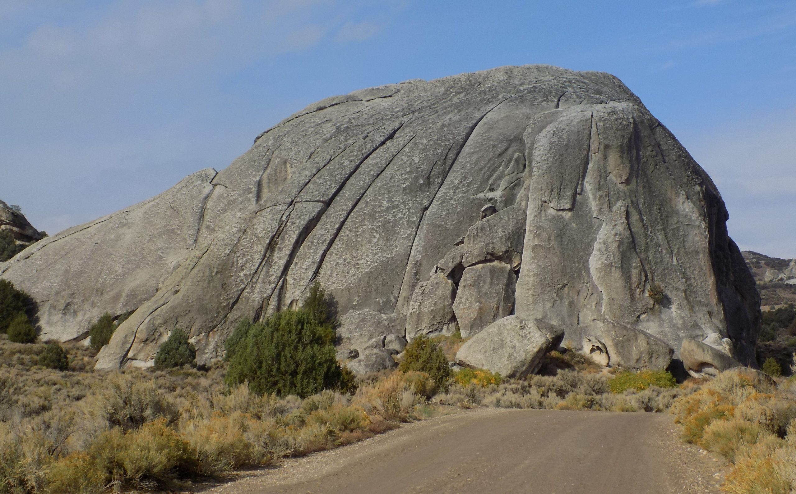
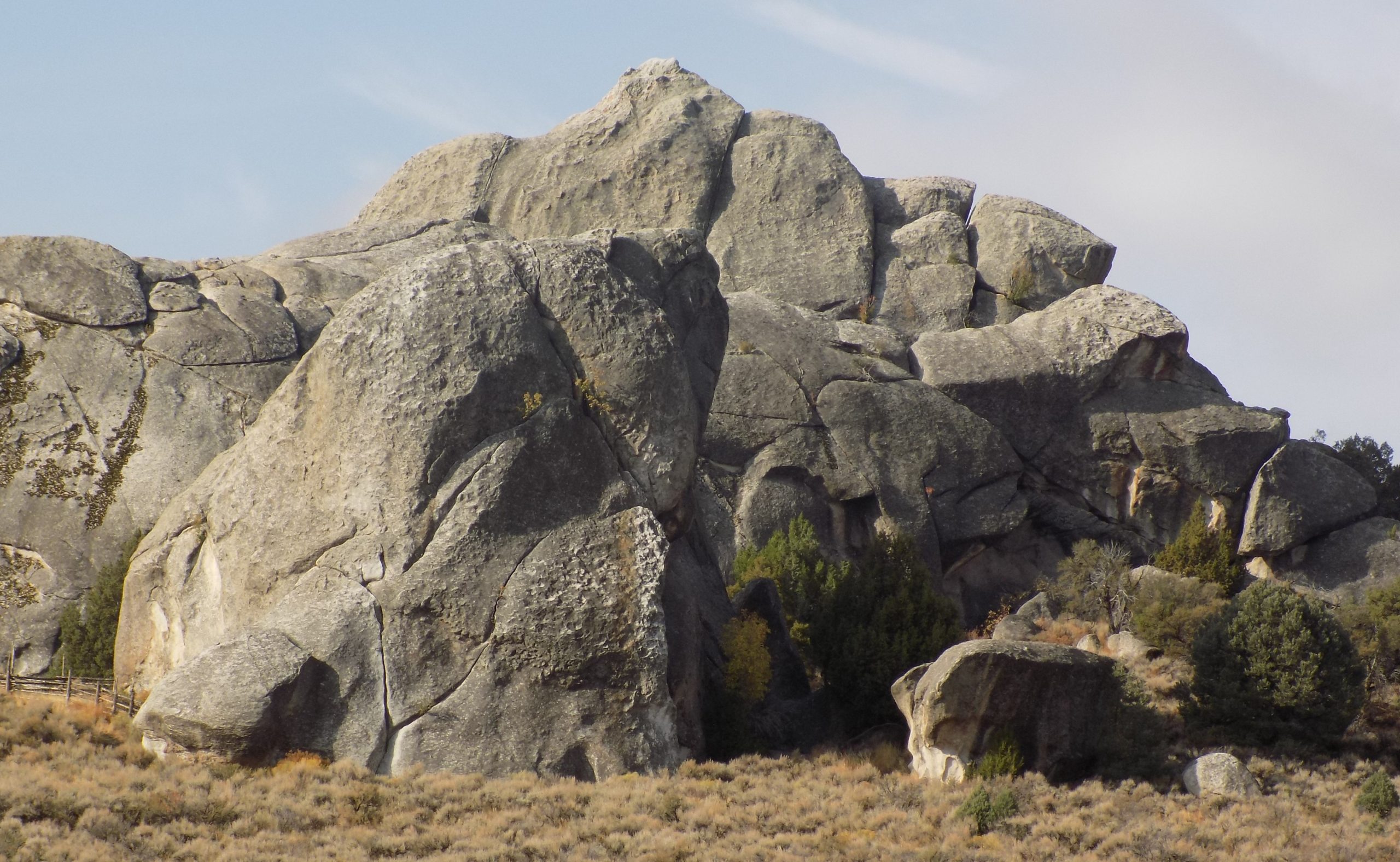
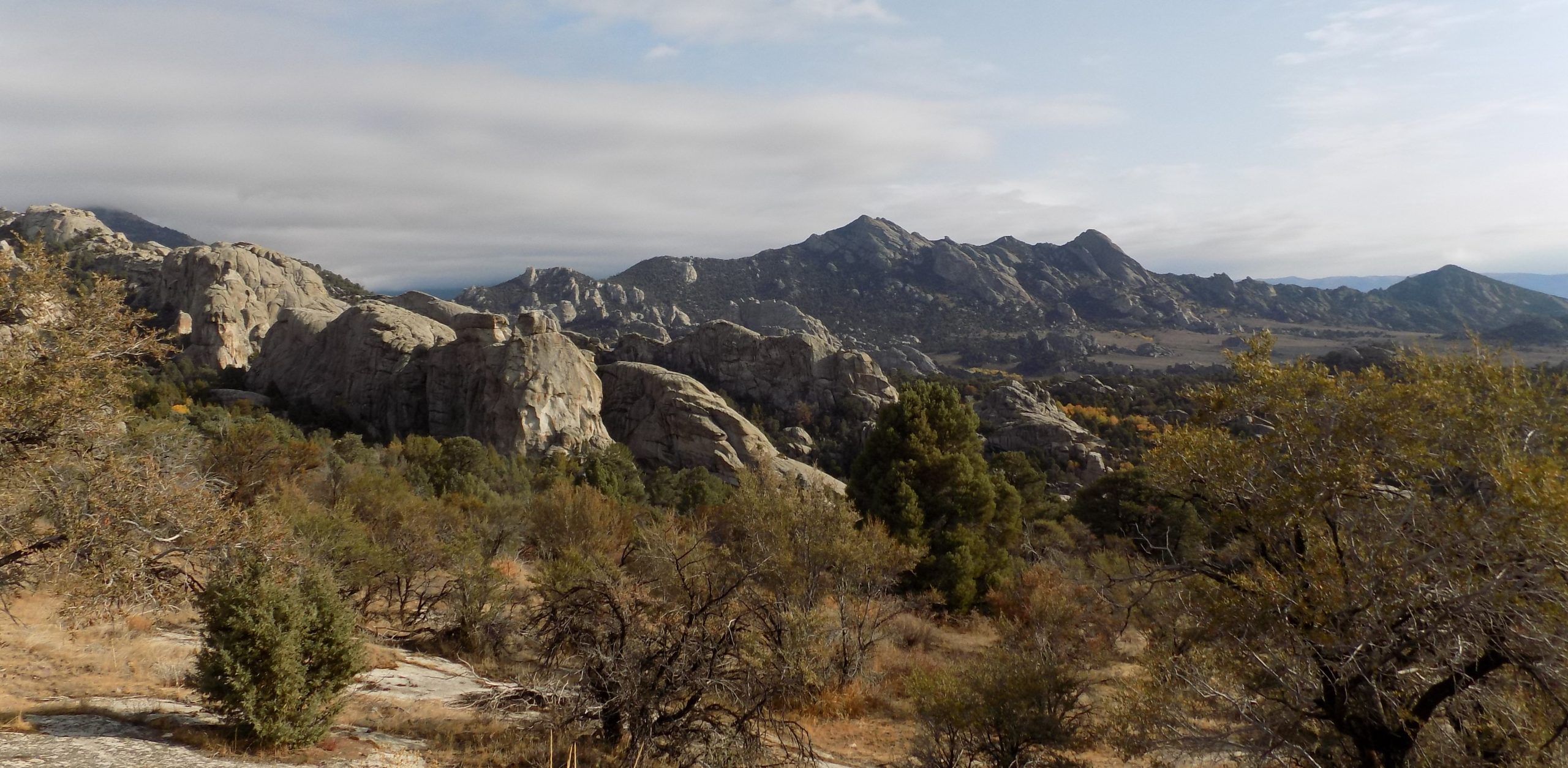
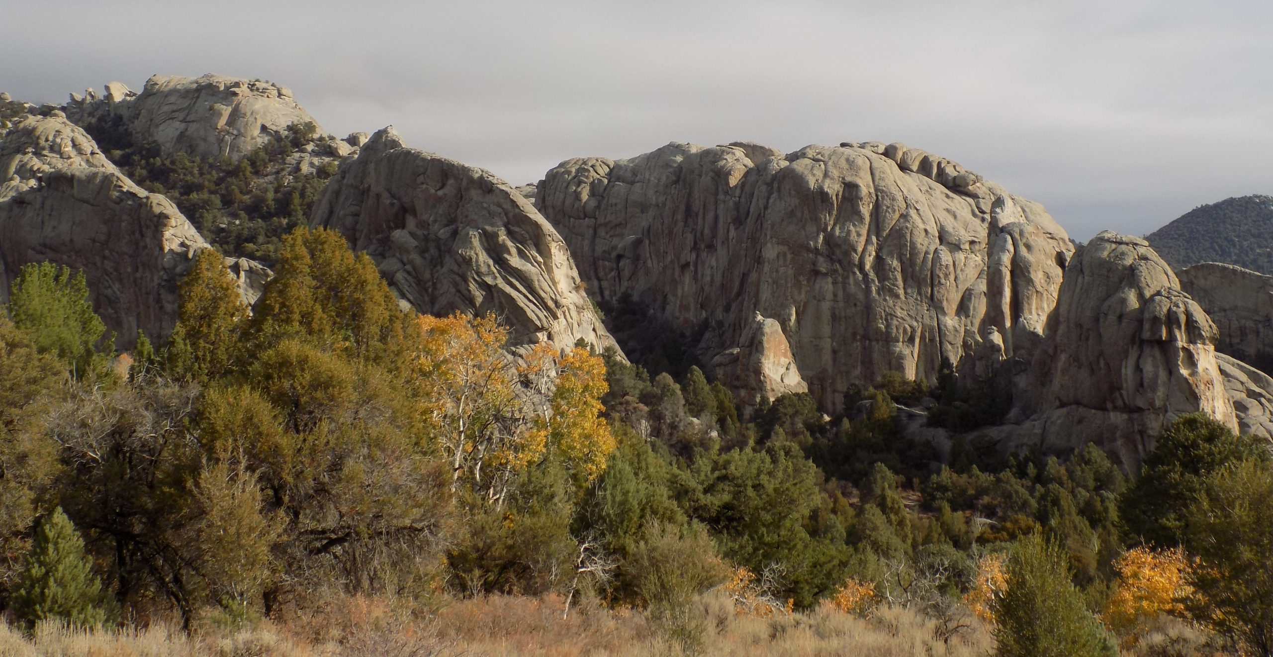
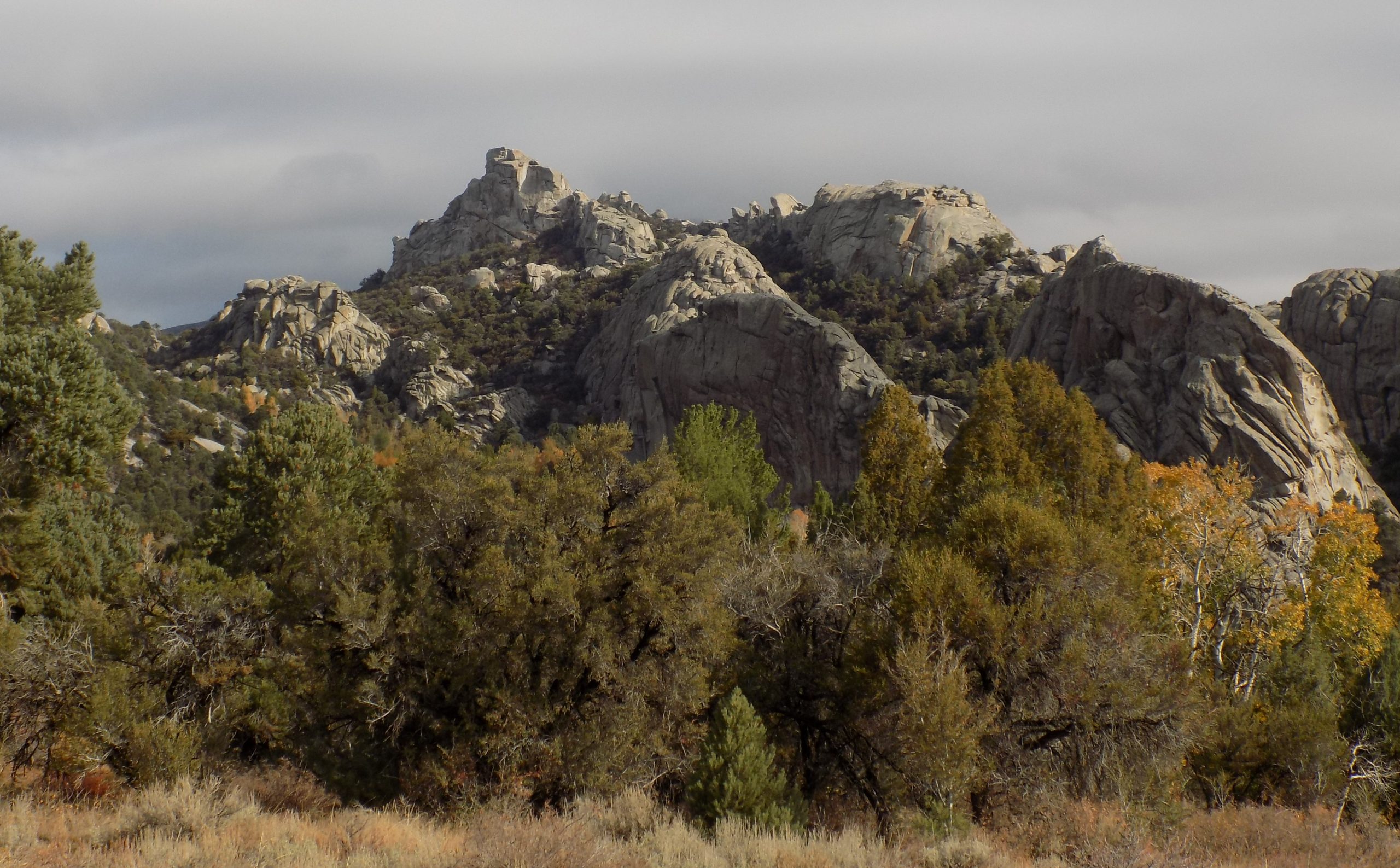
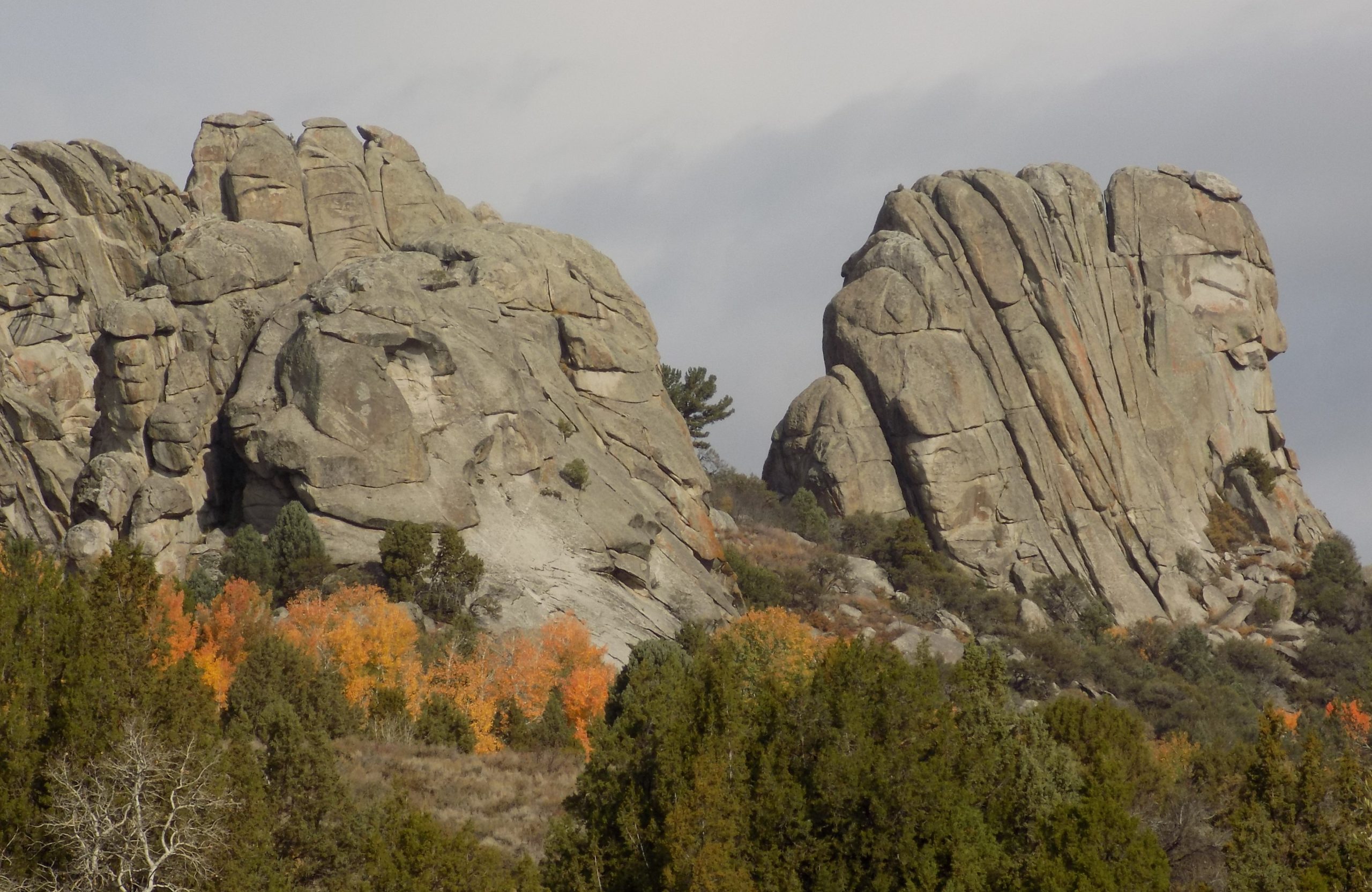
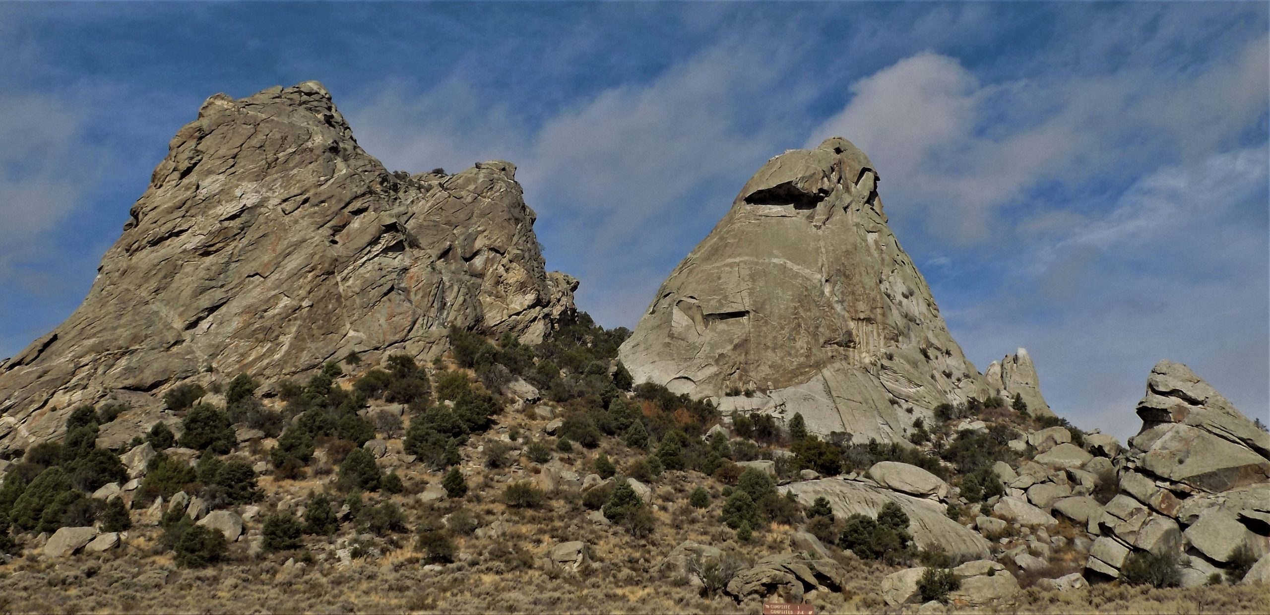
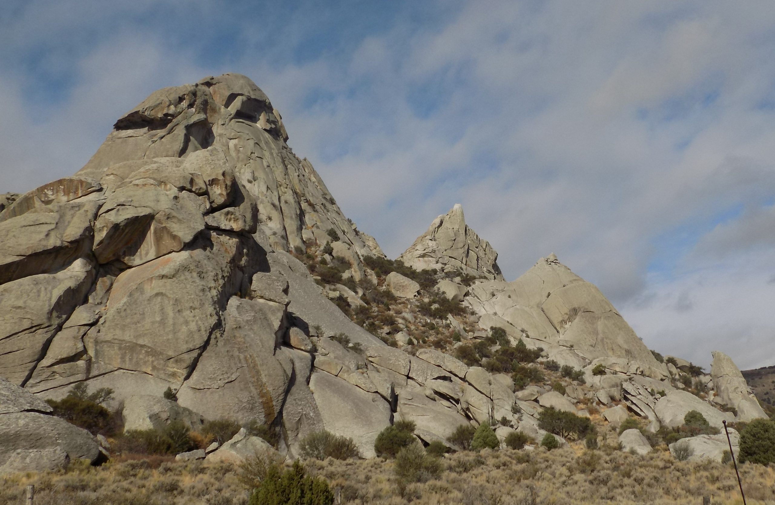
Friday, October 8, 2021 – City of Rocks RV
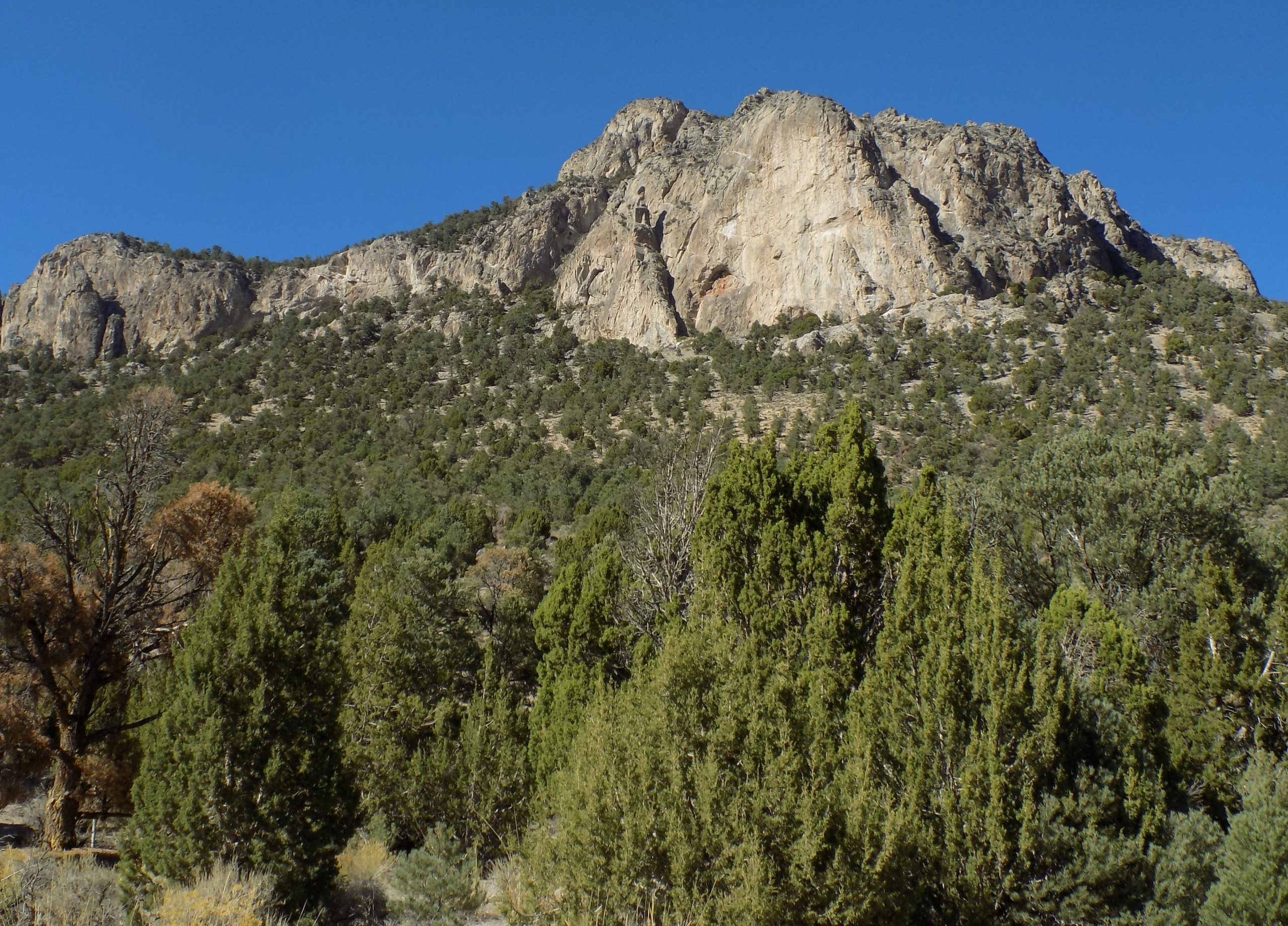
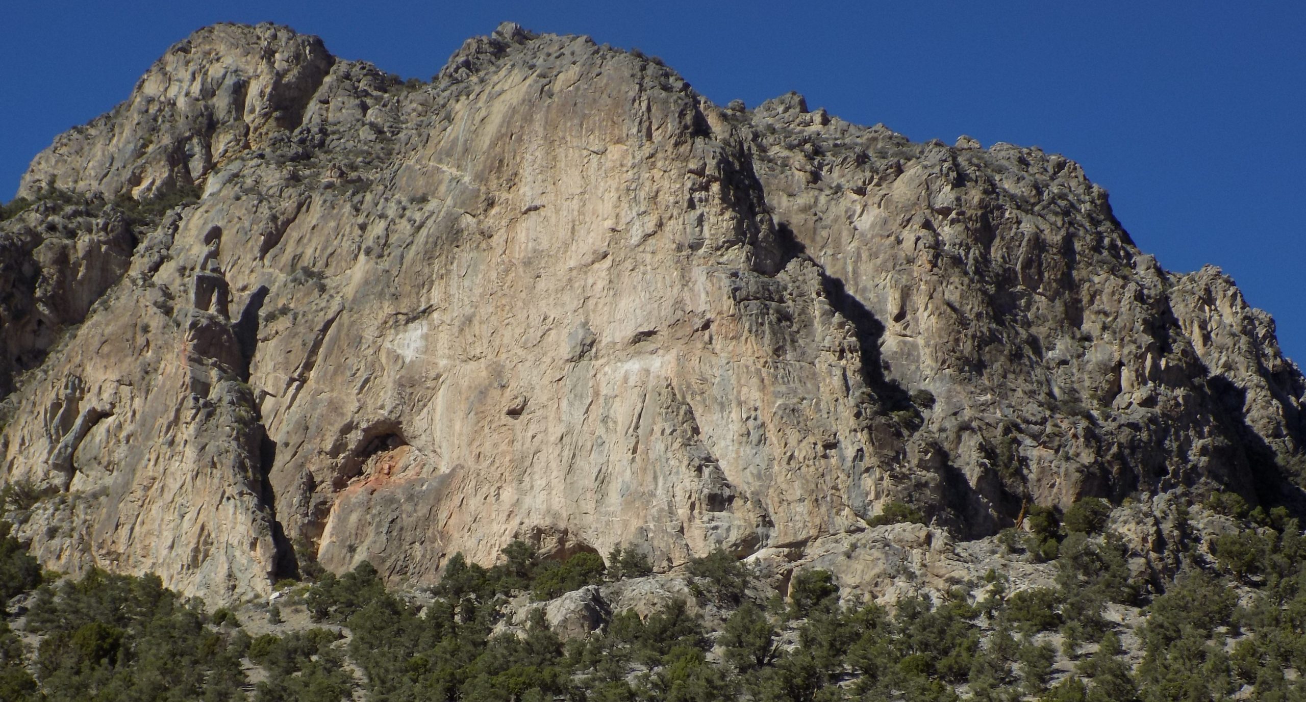
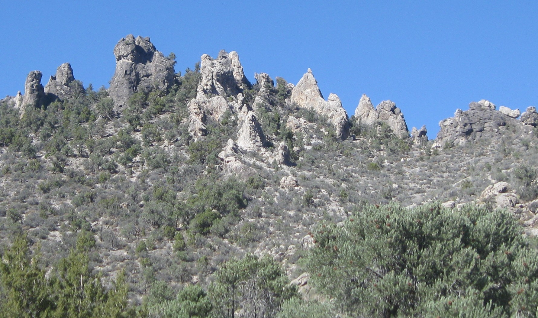
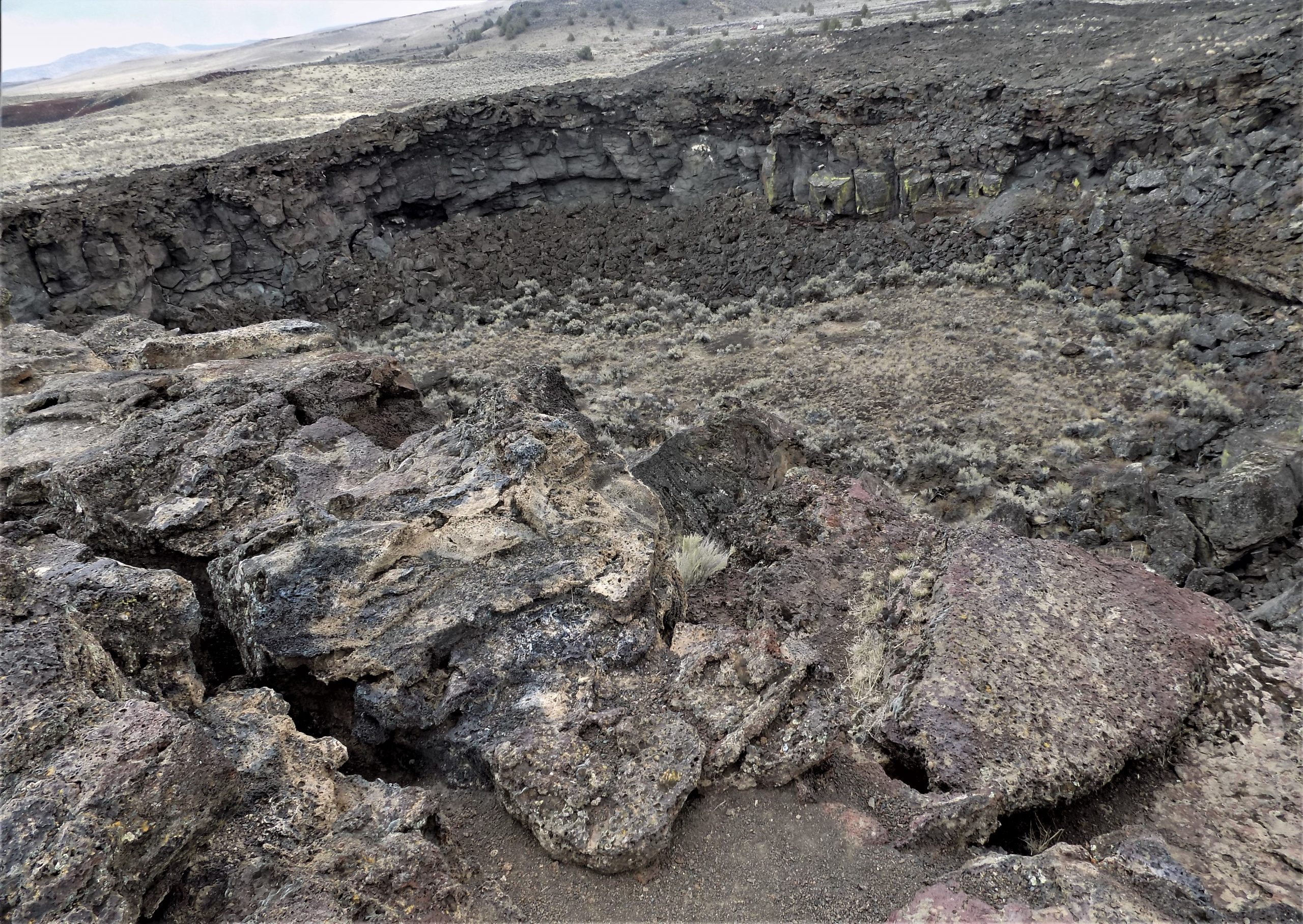
The City of Rocks National Reserve is one of southern Idaho’s best backcountry adventures. It is located in a little-known corner of Idaho, 2 miles from the Utah border. This part of the state lies right at the edge of the Great Basin Desert, and the land has the familiar topography of scattered mountain ranges separated by wide, empty, sagebrush valleys. The 14,407-acre reserve is situated at the south end of the Albion Mountains, and features towering granite pinnacles, fins, and domes that remind visitors of a “city of tall spires”. It has also been referred to as a “silent city”.
There are few roads in the reserve, but they bring you up close and personal to visit the many and varied rock formations. The mountains in the area are generally uninteresting from afar, formed of partly wooded (Pinyon Pine) sides sloping up to flat ridgelines. But for several square miles, the usual rounded, grassy summits are replaced by fantastic formations of eroded granite forming spires, cliffs, arches, and narrow ravines. But you can’t see most of the formations from the main road. (And I use the term “main road” very loosely.) You must go into the reserve and travel the unpaved roads at a leisurely pace. (You couldn’t go any faster than at a leisurely pace. These roads were not built for speed. They were built for Humvees. But Humvees are hard to come by and not very practical since it’s difficult to pass any DMV inspection!) But our trusty Toyota Tundra did just fine. (But a Humvee would have been more fun.)
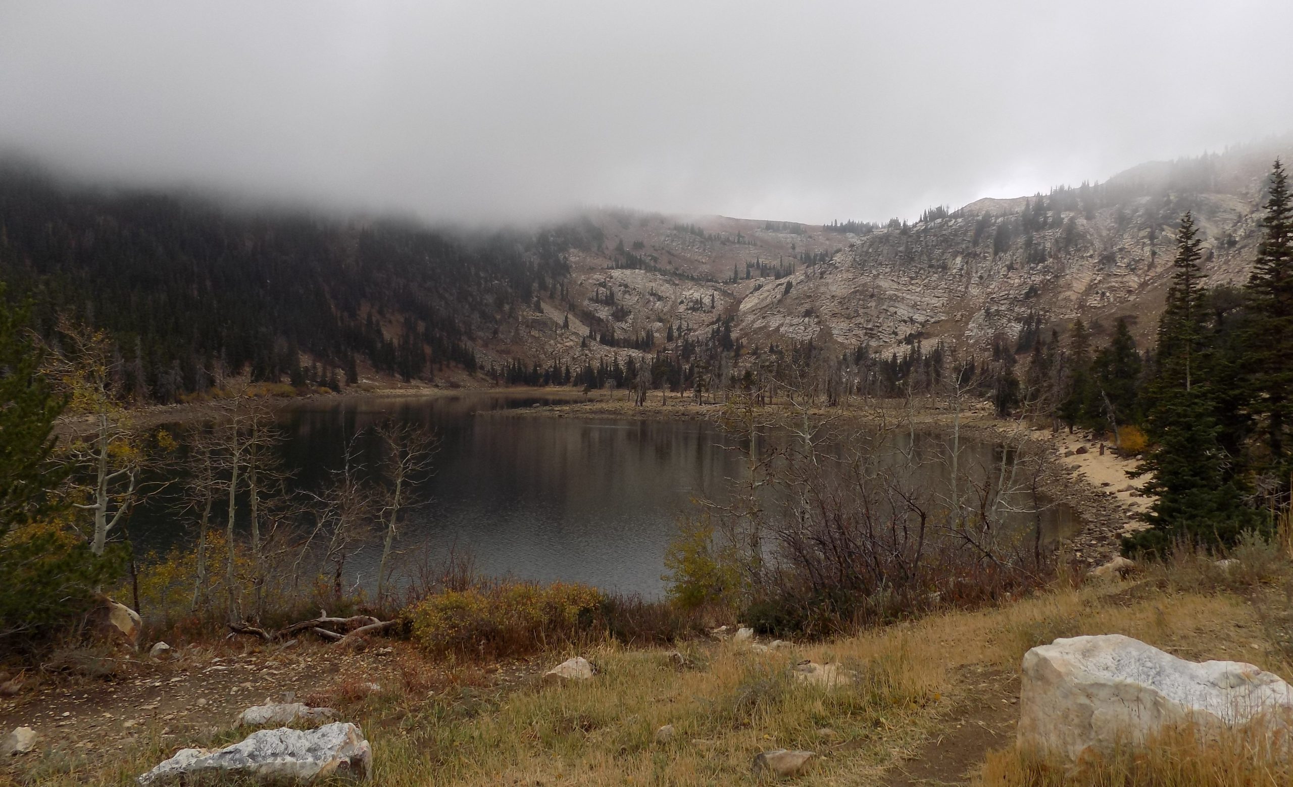
Next, we visited Lake Cleveland. Only 47 minutes away from camp, Lake Cleveland is at an elevation of 8,300 feet. And the drive there is magnificent. It is one of those, “let’s drive up to the top of the world on a real scary road (albeit paved), view a small lake, look around for a while, and then drive down again – slowly”. And if you are lucky, you arrive back at your camp unscathed. But in all honesty, I’ve been on very few drives with any better views. At times you felt like you were seeing all of Idaho from the comfort of your vehicle. I would recommend this drive to anyone. OK, maybe not someone who suffers from acrophobia. This drive would not be a joy and a delight for them.
After seeing our fill, we paid a visit to Malta for gas. Also, a stop at the Batter Up bakery for cinnamon rolls and dinner rolls with honey butter. Yum!
Then back to camp for dinner, reading, writing, and pillows.
Saturday, October 9, 2021 – Bruneau Dunes SP, Mountain Home, ID – site 1 in the Broken Wheel loop
Left camp at a reasonable time, (At least, reasonable for us!) Then north on the Almo Road, north on 77 (bucking the wind the whole time), through the town of Declo, a thriving mini metropolis in the middle of nowhere, and west on I-84 to highway 78 which took us right to our destination.
Parked the trailer under blue skies and spent the afternoon outside the trailer. Andy took a short bicycle ride, and I might have fallen asleep reading.
A bit about the dunes, the main feature of the park. The dunes are unique in the Western Hemisphere. Where other sand dunes in the Americas form at the edge of a natural basin, the Bruneau dunes form near the center. The basin has acted as a natural sand trap for over 12,000 years.
The dunes may have started with sands from the Bonneville Flood about 15,000 years ago. With prevailing winds blowing from the southeast 28 percent of the time and from the northwest 32 percent of the time, the dunes stay fairly stable. And unlike most dunes, these heaps of sand do not drift far. In fact, the state park is the site of North America’s tallest single-structured sand dune, which is approximately 470 feet in height. The state park also includes desert, prairie, lake, and marsh habitat. So, a very interesting place to visit. And a very nice place to park a trailer.
Sunday, October 10, 2021 – Burns RV Park, Burns, OR – site 31
Originally, we were to have camped at the Quail Ridge RV Park in Burns. Got there and the “park” was basically a gravel lot. No amenities such as bathrooms, trees, grass, picnic tables, fire pits, etc. The place was literally a gravel parking lot. We stopped, looked around, found our site which would have had us backed up to a chain link fence with homes on the other side that were less than attractive. (Not the best part of town.)
We instantly decided this was not the place for us. Paid for, or not! So, we decided to take our chances with the nice campground we had seen as we drove into town. Turns out the Good Sam Burns RV Park had a lovely available site for our trailer, and we ended up having a very pleasant stay. Just another reminder that false advertising is alive and well. Quail ridge indeed!
After getting settled, we decided dinner would be nice. Upon a recommendation from our park host, it was off to Boomer’s Place in the booming metropolis of Hines, Oregon.
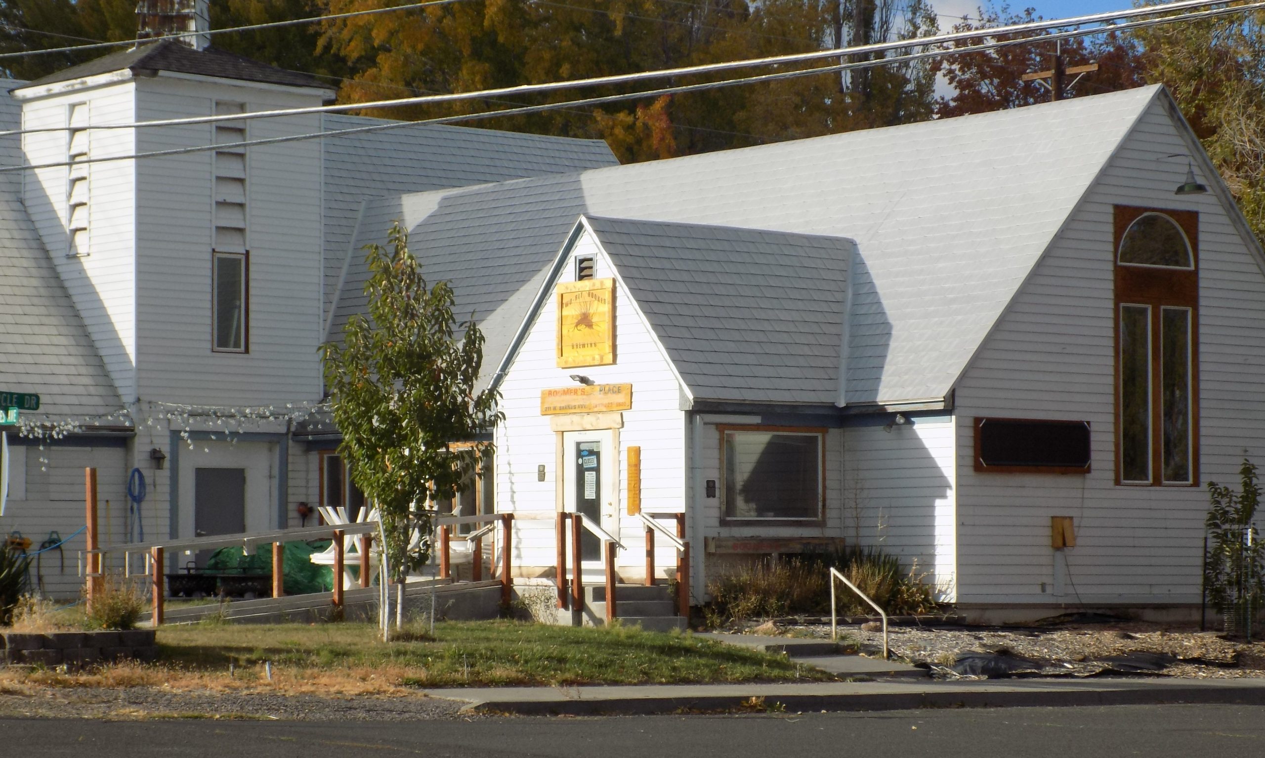
Now, this is not your ordinary diner. I mean really, how many dining establishments advertise – “where great food, craft-brewed beer, and fly fishing meet”! See! How could we possibly resist an opportunity to dine at such an establishment?
When we arrived, we were greeted by Boomer himself. Funny, caustic, friendly, satirical, fun-loving, and at the time – harried. It turns out he was the entire staff for the evening. Greeter, seater, chef, waiter, and producer of bill. I ordered a chicken fried steak and Mr. C. had a blacked salmon Caesar salad. Great food and fun surroundings.
As we were leaving, I casually mentioned that perhaps he should hire some help. (And of course I said this in my usual helpful and kind way.) He responded that if he could find someone to help, he surely would do just that! (I felt like such a dope. All kinds of small businesses are trying to find workers. I should have thought about that before I opened my mouth.)
But as I told Andy on our way back to the trailer, if I lived in Hines (next door to Burns), I would help him out even if I didn’t make a cent. Mainly because the food and ambience were worth protecting. And because Boomer was definitely the kind of person, who if given the opportunity, I’m sure could become a good friend.
Monday, October 11, 2021 – Burns RV Park
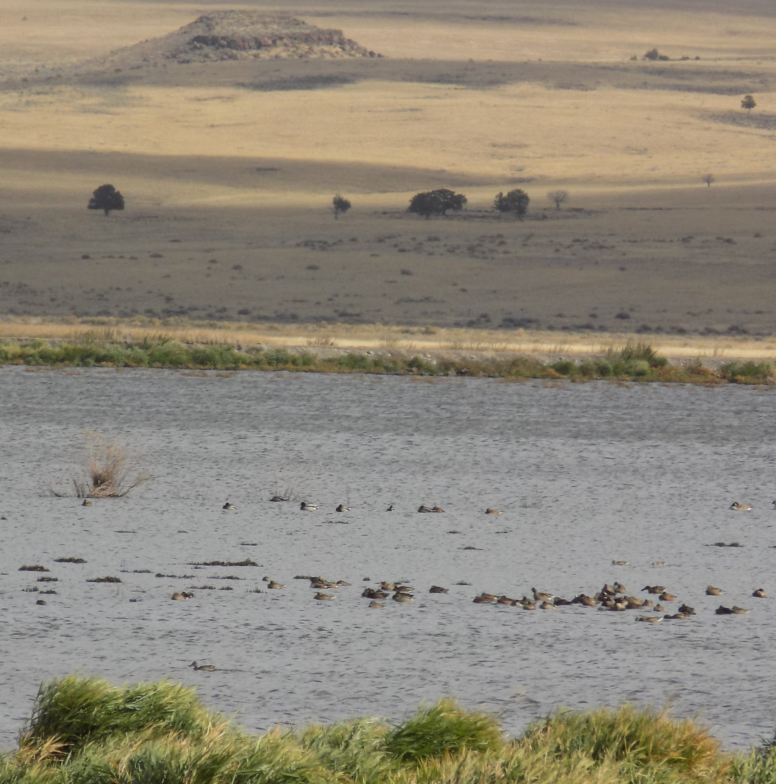
After a nice breakfast, we decided to take a drive to one of our favorite areas of the state. The High Desert Discovery Scenic Byway begins at Burns and proceeds south on Highway 205. Along the way there are great views of Steens Mountain to the south and Malheur Lake and the Malheur National Wildlife Refuge along the road.
Skirting the marshes of the Malheur National Wildlife Refuge, we soon came to the Diamond Loop Tour Route, which leads to Diamond Craters and the Peter French Round Barn.
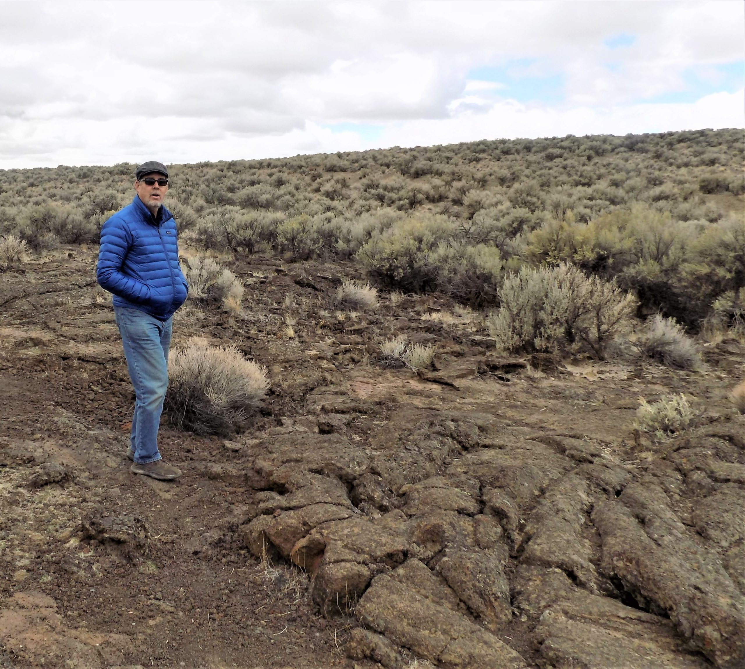
The Diamond Craters area has some of the most diverse basaltic volcanic features in the nation clustered within a small, semi-accessible area. The 27-square-mile area consists of basaltic lava flows, cinder cones, and maars. (A maar is a broad, shallow crater formed by a volcanic eruption with little lava and in the right season, typically fills with ground water.) The road that leads you to these areas is not paved. Neither is it wide, or easy to navigate. So, caution is advised. (Where’s that Humvee when you need it?) Even in our 4-wheel drive truck, the road was quite challenging. But the effort was worth it. Unfortunately, the individual features did not photograph very well. (OK, the photographer didn’t really know how to capture these splendid formations to best effect. She did try, however. But they are at their best seen in person.)
Next it was a visit to the famous Peter French Round Barn.
We had visited this barn on our first visit to this area with Andy’s parents 20-some years ago. On our two subsequent trips, we had taken other drives including the drive south on the western side of Steens Mountain to Fields. And we had visited the wild mustangs. But we had not taken the opportunity to visit this unique barn again. And I am so glad we made the time this trip. Because, this barn is truly unique.
According to an Oregon State Parks site, “the Pete French Round Barn remains a monument to one man’s livestock empire. Peter French arrived in 1872 and began amassing land and cattle. By the mid-1880s, his enterprise had grown to 70,000 acres and 45,000 head of cattle.
Some claimed he didn’t legally acquire the land or water rights, which prompted land disputes and court cases and added to his controversial reputation. One of the disputes eventually led to his murder in 1897.
Although dubbed the ‘Cattle King,” French was the first rancher in the area to put up hay. He also raised thousands of sheep for their wool. The Round Barn was used to train wild horses to pull long wagon trains full of wool, hay and supplies to market in Oregon City.
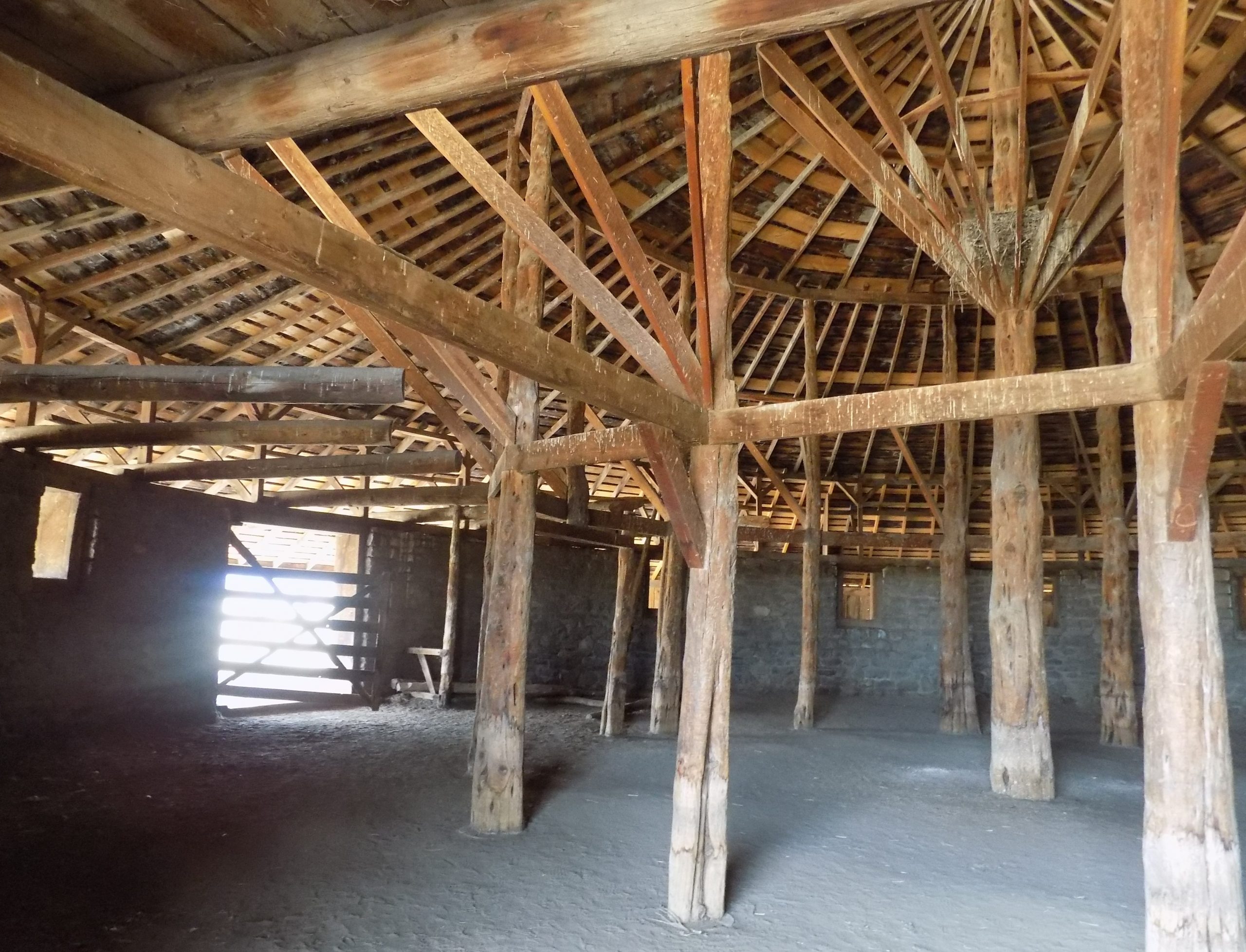
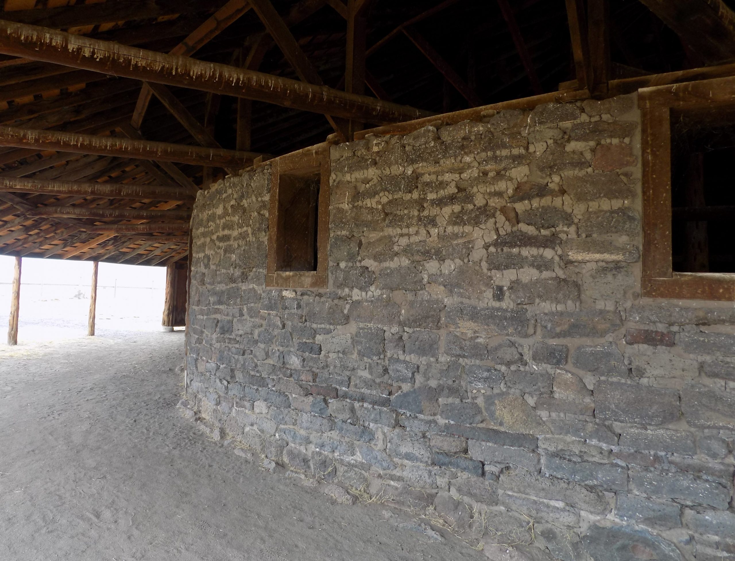
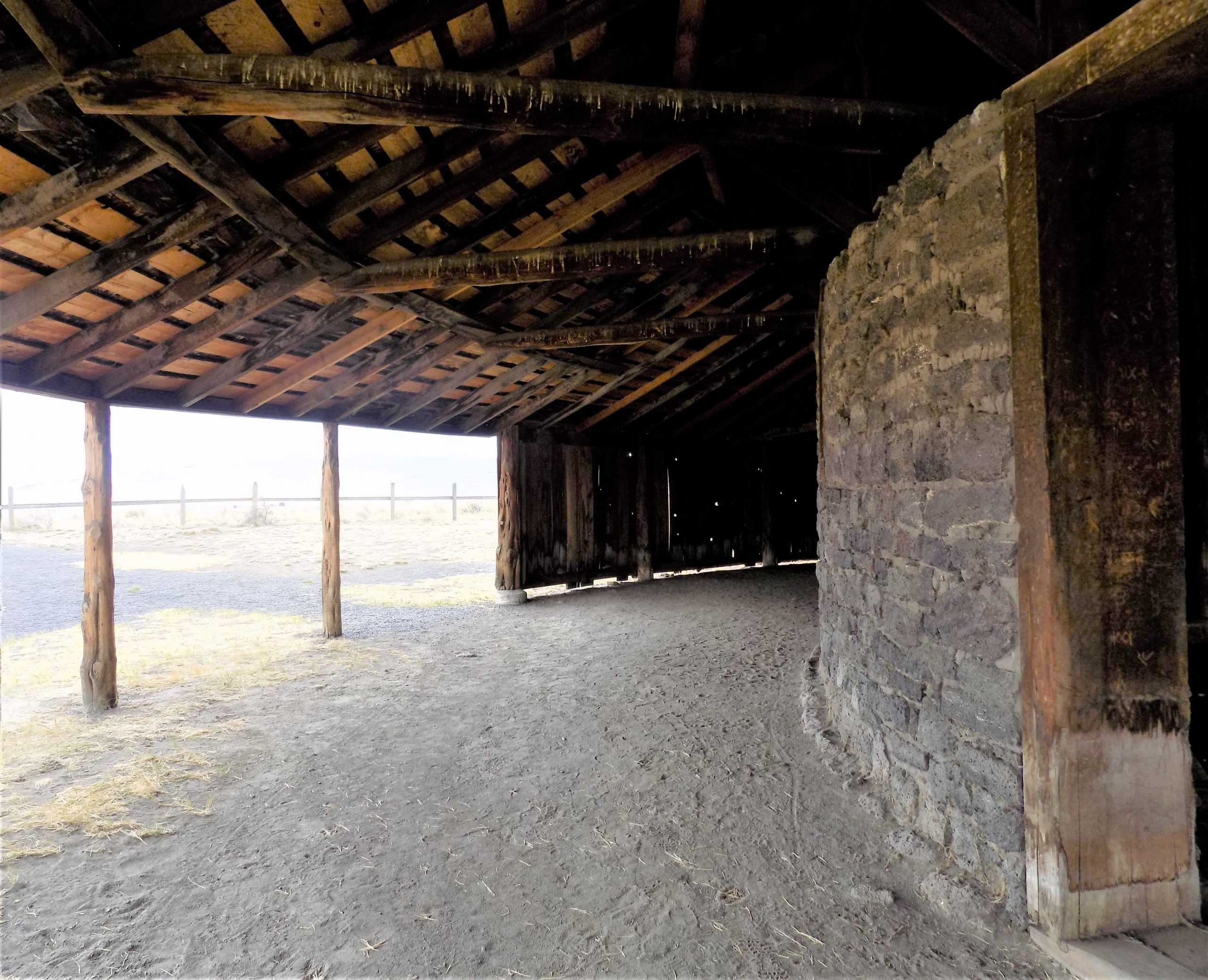
The interior of the barn consists of a circular rock wall, constructed with local rock and mud, which enclosed the central stable area. The remainder of the structure is constructed from lumber that was hauled to the site from 60 miles to the north. The interior is unique in that it is supported by juniper posts. The center area was used as a horse stable; around the outside of the rock wall, there is a covered circular track that was used to exercise horses during winter months. The barn looks much as it did when cattleman Pete French constructed it.
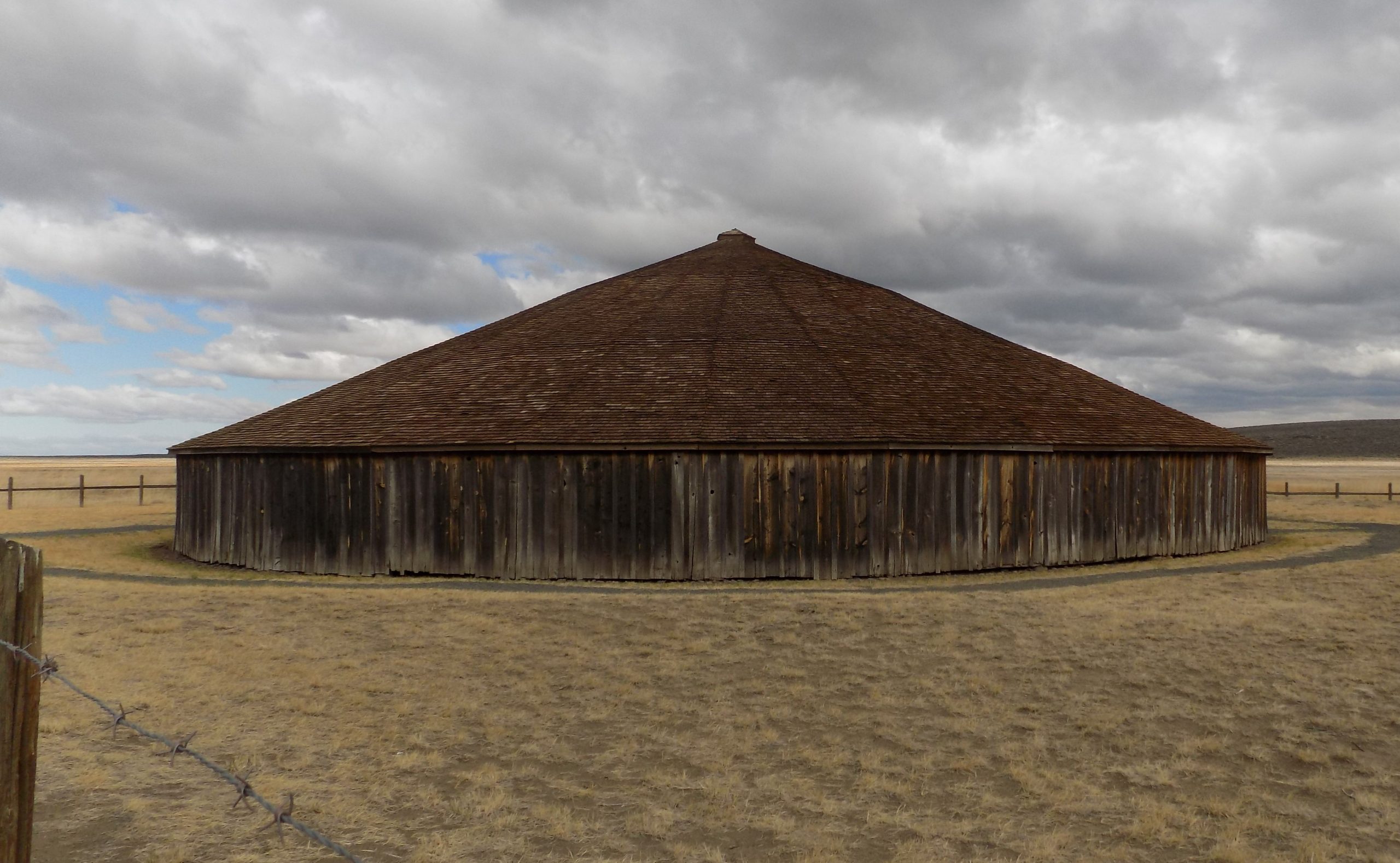
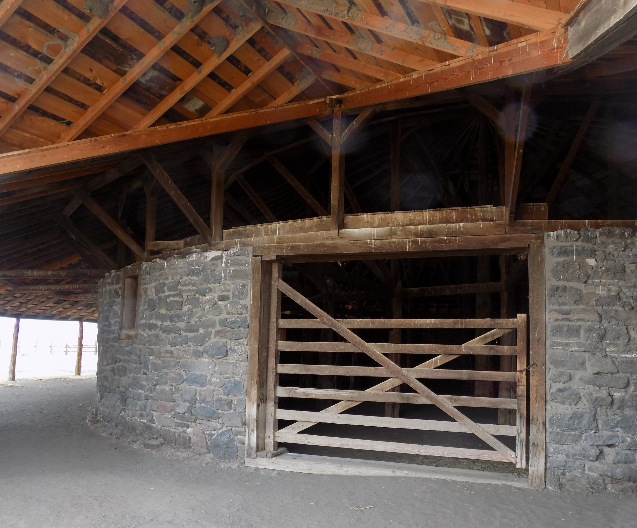
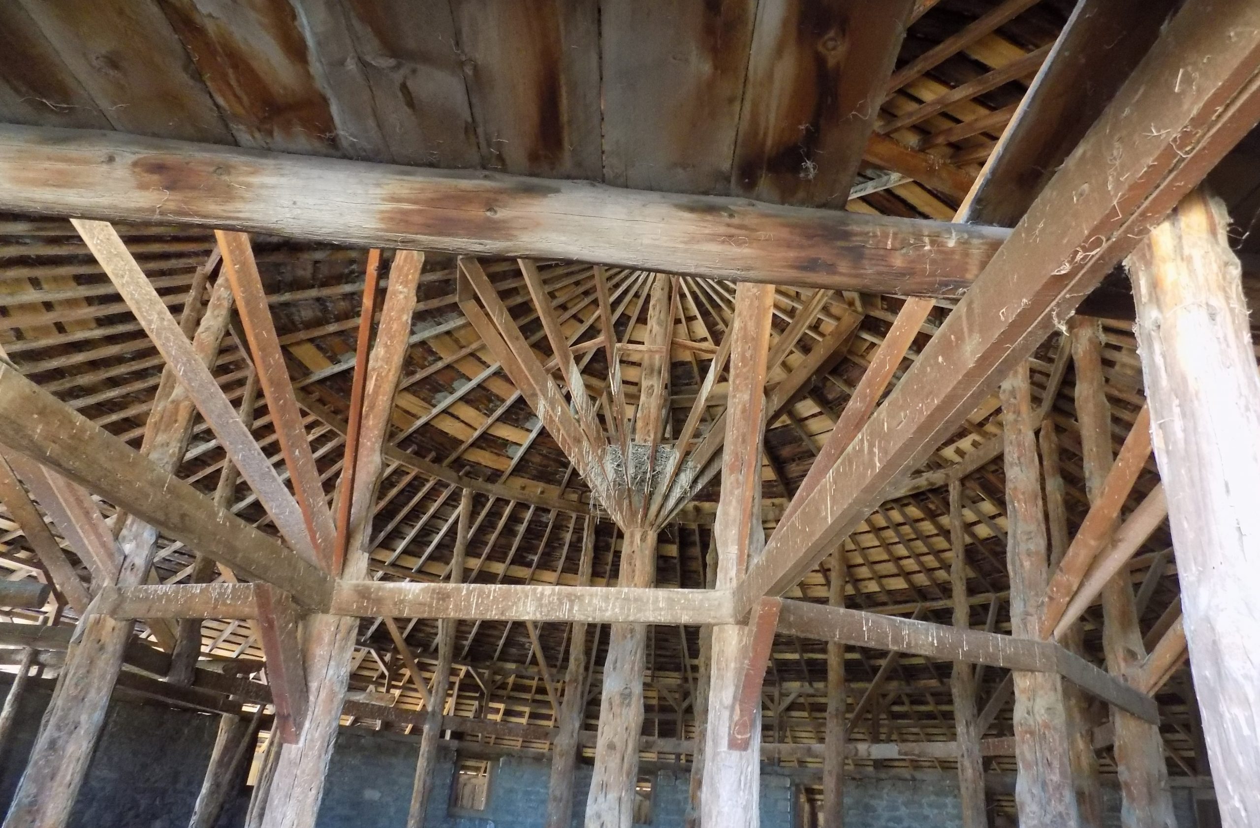
In today’s landscape, this type of barn is unique. But during 1880–1920, round barns became popular in the Midwest where they were promoted as being efficient for progressive methods of farming. The Round Barn has sweeping views of the high buttes surrounding the low plains and marshes with the picturesque Steens Mountain towering in the distance.”
A great place to visit, and as in our case – re-visit.
Then it was on through Frenchglen and onto a dirt road that leads to the best area to view all the denizens of this marshy area. The refuge is 39 miles wide and 40 miles long and is home to 320 bird species. Spring is the most spectacular season for bird watching, but we decided to drive on the dirt road that cuts right through the refuge anyway to see if there were still any birdies that would appreciate having their picture taken. But alas, hardly any birds to be seen, and none that offered themselves to be immortalized on my blog post. So, we only drove half the way and then bailed back to the main road.
Then it was back to camp for dinner, reading, writing, and arithmetic if you consider Andy balancing our accounts and making sure we were still in the black.
Tuesday, October 12, 2021 – La Pine SP, La Pine, OR – site S23
After a big breakfast, it was time to break camp. Next stop La Pine State Park.
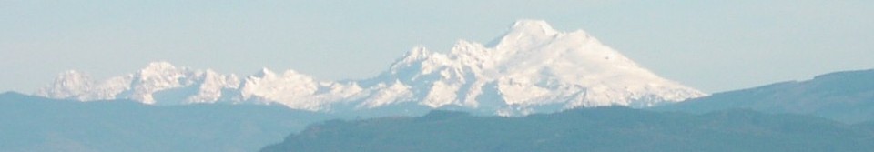
So, we hopped on US-20 bound first for Bend, OR. Now this was new road for us, but it certainly will not be the last time we drive this route. The reason being, that as you approach Bend from the east, on a clear day, like we experienced, you are blessed with an amazing view of the Oregon Cascades from Mt. Bachelor to Mt. Hood. But at first glance, the perspective was kind of funny. It was as if we were at a higher elevation looking down on the Sisters*. Strange. But as we got closer, the Sisters somehow shifted into position, and they loomed over us – as well they should!
*Part of the Cascade Volcanic Arc and the Cascade Range located in the Three Sisters Wilderness, Three Sisters were known to the pioneers as Faith (North Sister), Hope (Middle Sister) and Charity (South Sister).
Arrived safely in Bend to road construction and masses of humanity. And new townhouses, apartments, shopping centers, etc. every-damn-where! All I could think was for Andy to GET US OUT OF HERE! So, being the jolly good fellow he is, and a darned good mind reader to boot, he drove us straight to La Pine. And to the lovely state park nestled deep in the woods.
After setting up camp, it was time to read and write, then dinner, then an early to bed. And BTW, it was cold. And if truth be known, we were somewhat concerned about snow. OK, not somewhat in my case. I was darned worried about snow. Didn’t happen. But it could have!! But cold enough that we had to disconnect the water so the hose water wouldn’t freeze and/or cause damage to the park’s water connection.
Wednesday, October 13, 2021 – La Pine SP
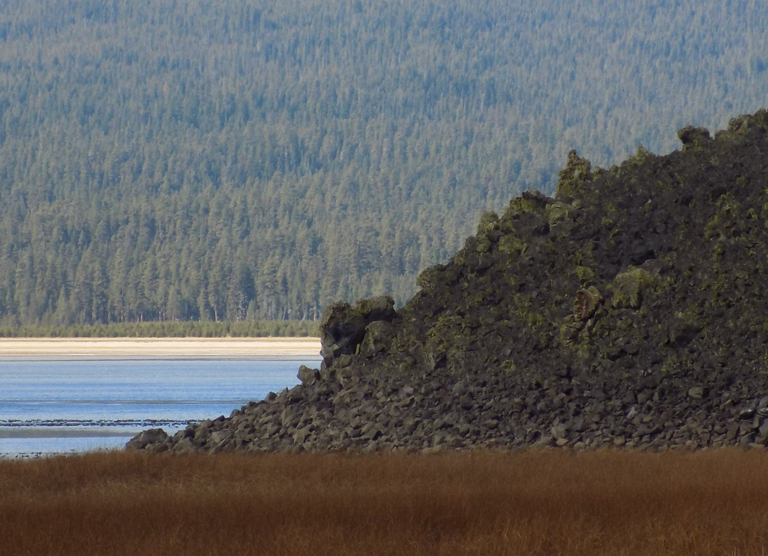
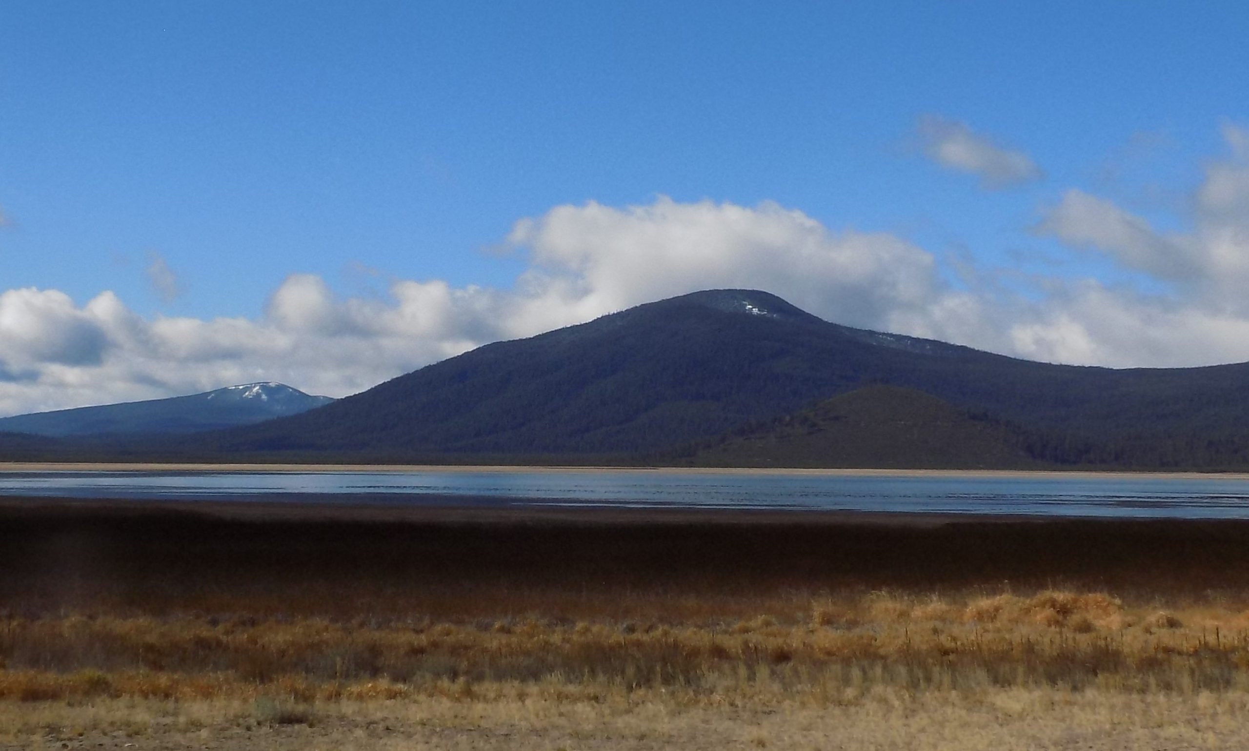
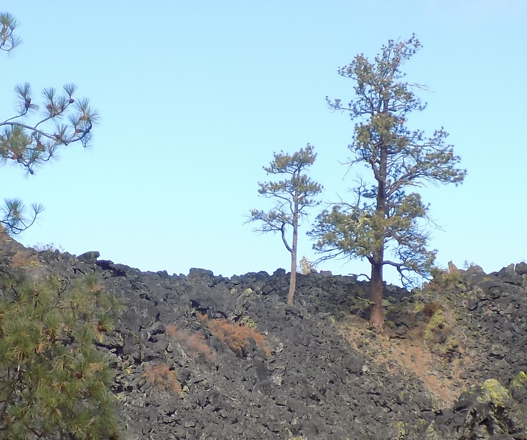
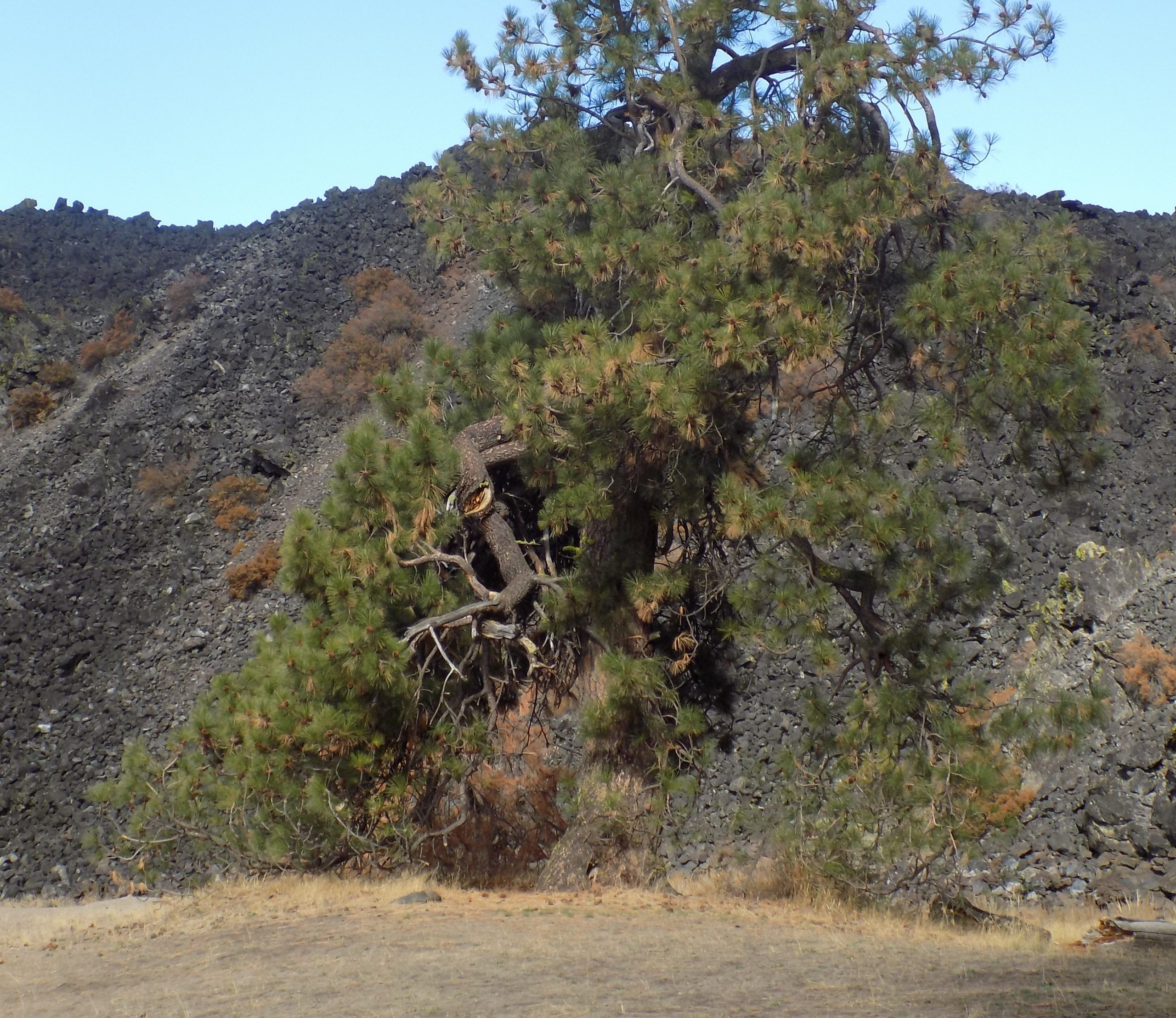
For today’s grand adventure, we drove south to Crescent, then west on Crescent Cutoff to the southern end of the Cascades Lakes highway. Then up the highway. Next stop Lava Flow Campground just off the Cascade Lakes Highway on Davis Lake. Where, considering that it was fall and the end of a very dry summer, the water was very low. The campground, such as it is, is very primitive, but also absolutely unique. It is nestled in pine trees on a small stretch of beach on the NE corner of the lake, between the end of a gigantic lava flow (somewhere around 100-feet high) and a steep hill. The campground is essentially just a collection of picnic tables and a pit toilet, on a semi-flat area of otherwise unforgiving terrain. And lest you think the lava flow would be fun to climb, think again. The lava rock has nothing to offer besides sharp and jagged edges.
But amazing as it seems, there are a few pine trees that have rooted themselves in the lava rock. How they can maintain life with such an apparent dearth of soil and nutrients is beyond my comprehension. But there they are non the less!
Then back on the highway to turn up forest road 42 to visit Twin Lakes Resort. After turning in to check out the resort we drove to the end of the road to visit the Wickiup Reservoir. But before we got to the Wickiup Reservoir, we drove by a smaller reservoir. Where the reservoir had been full last time we visited this area, the only water remaining was the Deschutes River that had been damned up in the first place to form the reservoir.
Then up to Crain Prairie Resort and continued north to Forest Road 40 where we turned right and went into Sunriver. We encountered snow on the road over the shoulder of Dry Butte. Then lunch at the Big Belly Burgers and Brew.
Then we took Huntington Road back to camp. Andy went for a hike to Fall River Falls and I wrote up the day’s adventures.
I guess this is a good time to tell you my tale of woe. Every travel experience since the 6th of October had to be recreated when we got home. Some quirk of fate involving Microsoft Word, my computer, and an evil gremlin, conspired to delete all my written efforts after the 6th. So, I have had to go back and re-write the whole darn travel log from the 6th, from memory! And I’m old. I can’t remember what I had for breakfast most days. So, with help from Andy, I have tried to reconstruct our routes and experiences. But there’s a darn good reason I usually write up the day’s adventures on the same day they occur. Because, well, if you’re over 70 you will completely understand. If you aren’t over 70, your turn will come, and you too will probably be blessed with a flaming case of CRS. So, I know I’m forgetting a lot, and making errors, but it’s the best I can do with my faculties as they are.
Thursday, October 14, 2021 – Peach Beach RV Park, Goldendale, WA – site 39
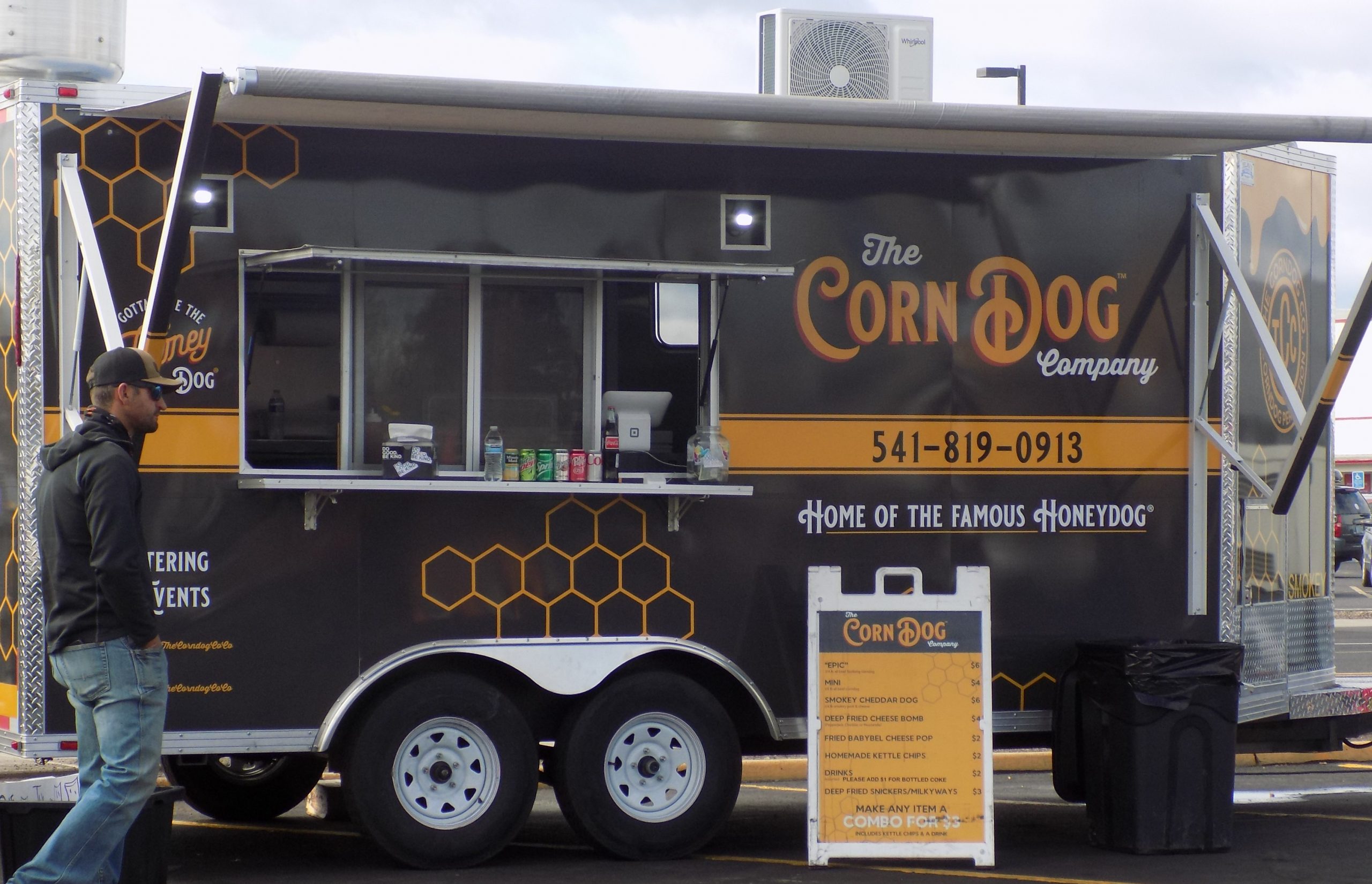
After some grocery provisioning and taking on of fuel, it was on our way to Peach Beach, one of our favorite places to park our trailer. Our route took us up US-97, thru Bend (not again!), Redmond (where we had the best corndog – ever), Madras, Shaniko, and Moro straight to Biggs Junction, OR.
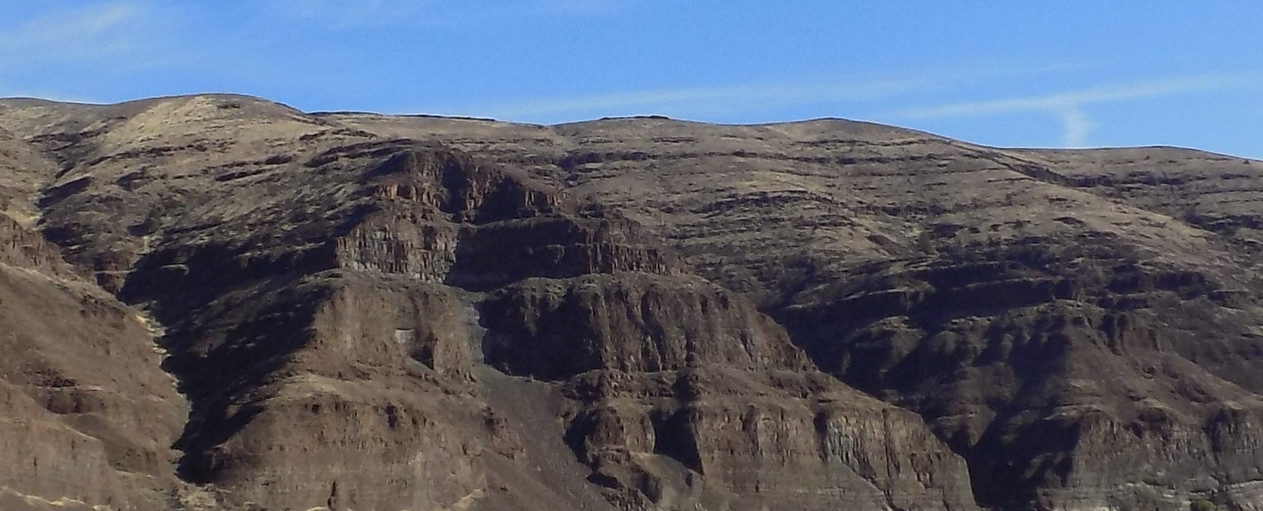
Biggs is a station on the Union Pacific Railroad (UP) at what was once a junction with the UP’s Grass Valley line, since abandoned. Biggs was named for a nearby landowner, W. H. Biggs, who settled in the area in 1880. The rail line was originally owned by the Oregon Railway and Navigation Company (OR&N). In 1885 the OR&N station at Biggs was called Spanish Hollow, after the canyon that opens onto the river at that location. The canyon was said to be named because a Spanish ox died there in the days of the Oregon Trail. (Oh, the things you learn on Wikipedia!) The Oregon Trail ran parallel with today’s US-97. Biggs is where travelers on the Oregon Trail would first see the mighty Columbia River after their overland journey.
The current community of Biggs Junction was named for the station, which is less than a mile west of the current junction at the intersection of I-84 and US- 97. And calling this massive truck center with an abundance of fast-food joints a community, is a bit of a stretch. But Biggs Junction has its redeeming qualities. Easy place to get gas when you are towing a trailer and it’s right across the river from Peach Beach!
Friday, October 15, 2021 – Peach Beach RV Park
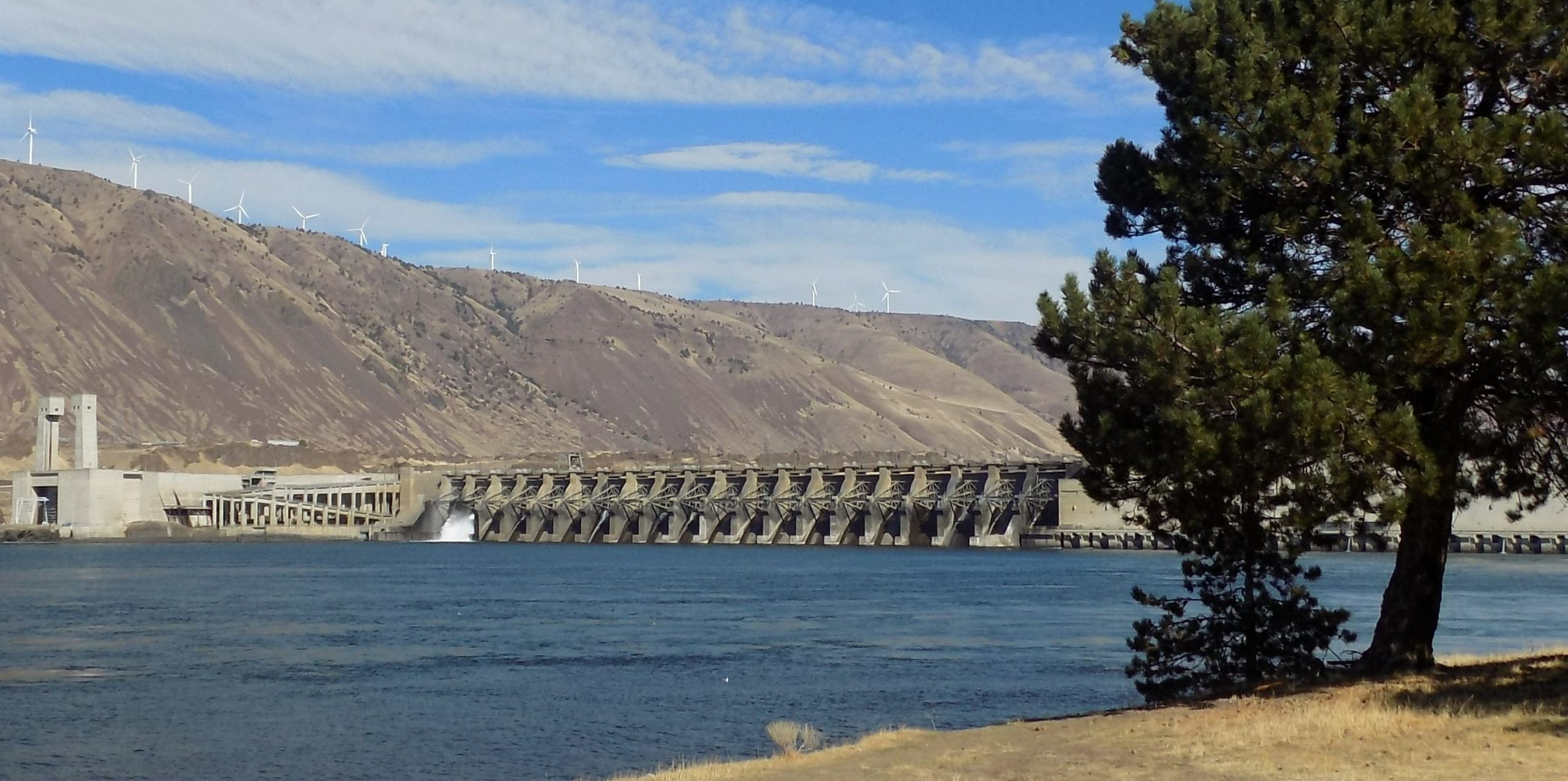
Today was another fun day. We decided to explore some of the areas around Biggs Junction. So, turning right at Biggs Junction, after crossing the mighty Columbia River from the Washington side, we were minding our own business, when I happened to glance to my left, and there they were. Airplane wings. Stacked up in a roped off area right next to the road. What caused us to stop, was a need to capture these huge “wings” on film. (So, to speak.) Because on our way from Mountain Home, Idaho to Bruneau Dunes SP, we saw some of the largest and most diverse wide loads being hauled by semi trucks that either of us had ever encountered. Huge tube-like critters. And very strange looking generator like monstrosities. But one of the strangest loads on really long-bed trailers, were, what we thought at the time to be airplane wings. So, I asked Andy to turn the truck around so that I could get a picture.
I got out of the truck and started towards a good place to snap a picture, when this gentleman approached me to tell me that this area was off limits. I assured him I was not an industrial spy, or any type of spy for that matter, and that all I wanted was a picture for my travel log. He was fine with that. But he assured me that the items in question were not airplane wings. They were wind turbine blades. Of course, they were! So, he proceeded to tell me about all the new wind turbines that were being installed (planted) on the plateau above the river on the Oregon side. And that the blades had been manufactured overseas, unloaded off ships at the Port of Vancouver, and then trucked to their present location. He also explained how wind turbines work.
Wind turbines work on a simple principle: instead of using electricity to make wind, like an electric fan, wind turbines use wind to make electricity. Wind turns the propeller-like blades of a turbine around a rotor, which then spins a generator, which in turn creates electricity. A nice man, and a very helpful man.
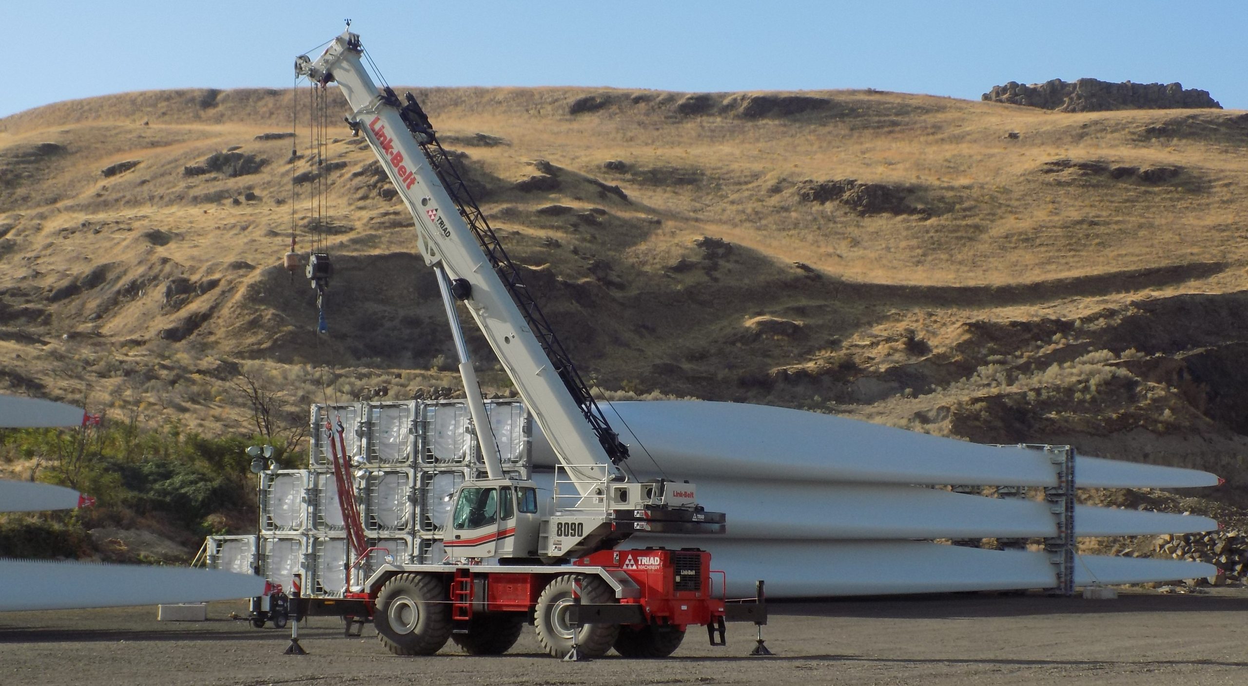
By the time I got back to the truck, Andy had figured it out. We both felt like dummies because we had been seeing wind turbines in various places throughout our trip. Plus, there were no airplane manufacturers anywhere in the vicinity. Duh!
So, we took in all this new information, then got back on the road, and proceeded up the Fulton Canyon (206) to Wasco.
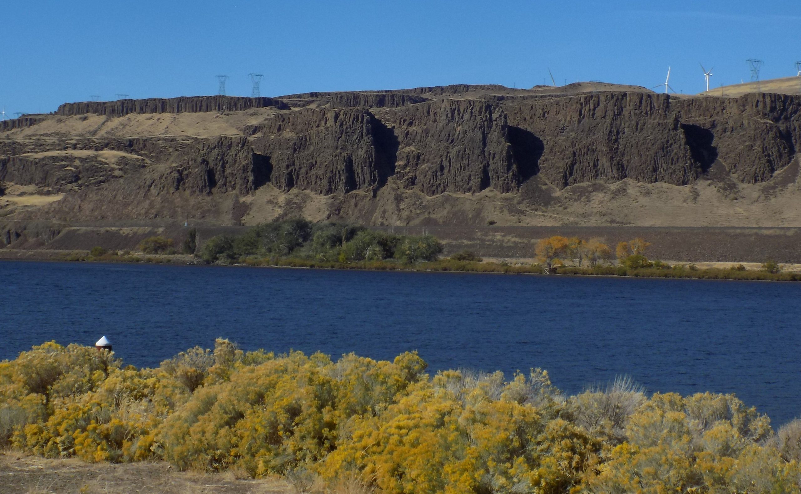
What amazed me as we came to the top of the canyon and onto the plateau, was the number and vastness of the wheat fields. I had no idea anything like this existed once you got to the top of the Columbia River canyon walls. Rolling hills with wheat fields dotted with wind turbines. Lots of wind turbines. And no wheat left at the base of those huge electricity making monsters. The term “picked clean” comes to mind! And the countryside, really lovely in its own way. Basically golden rolling hills at this time of year. Of course, the sun was shining, so that didn’t hurt.
Next, we continued on 206 to explore the Cottonwood Canyon and the Cottonwood Canyon State Park.
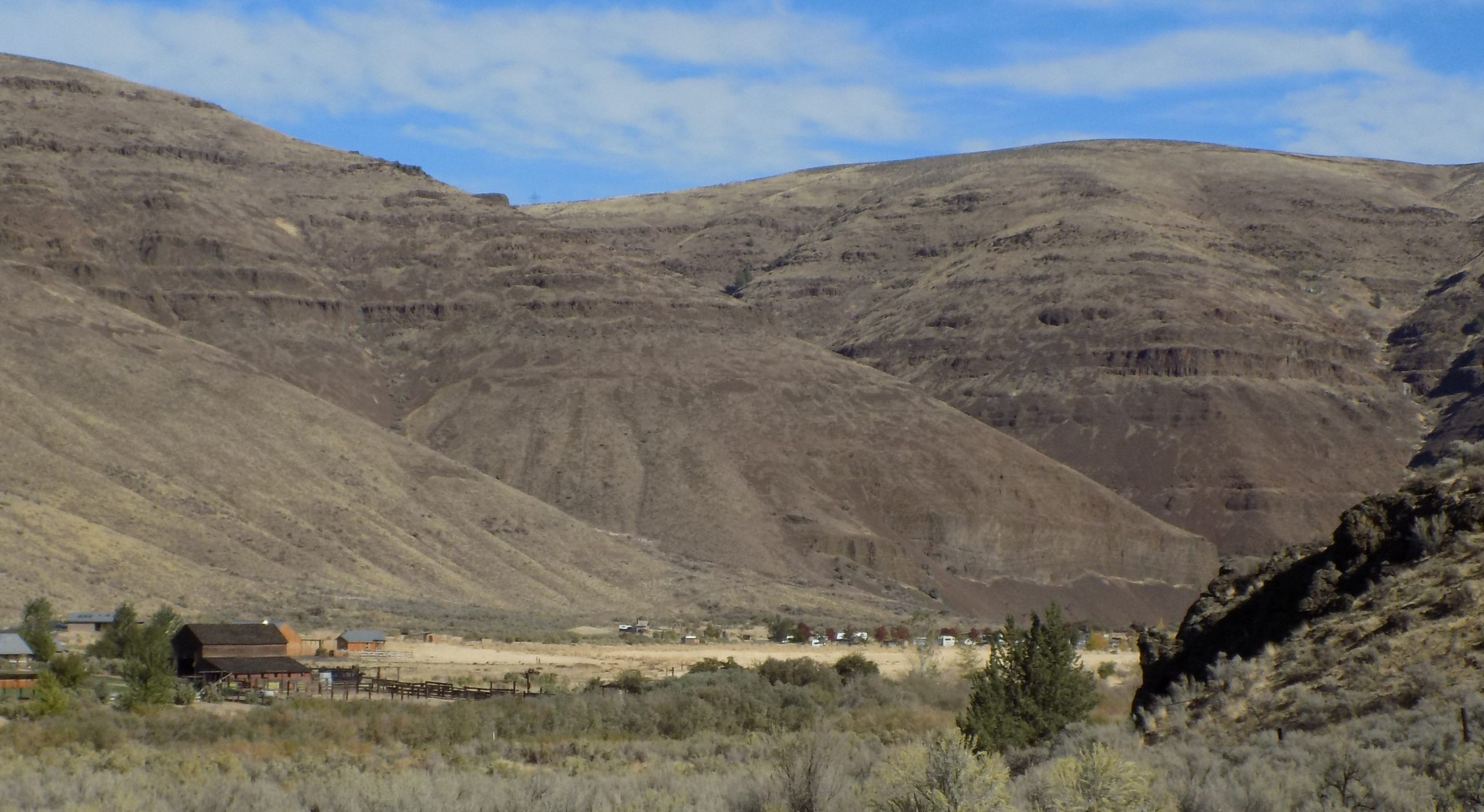
Cottonwood Canyon State Park, established in 2013, is the second largest state park in Oregon, encompassing 8,000 acres on the lower John Day River. The largest herd of California bighorn sheep live in the area, as do Rocky Mountain elk, mule deer, pronghorn, coyotes, and many smaller mammals. A variety of snakes, including the western rattlesnake, live in the park, which is also home to several lizard species. Fish in the river include Chinook salmon, steelhead, catfish, carp, and smallmouth bass. And because the park is so new, it practically sparkles.
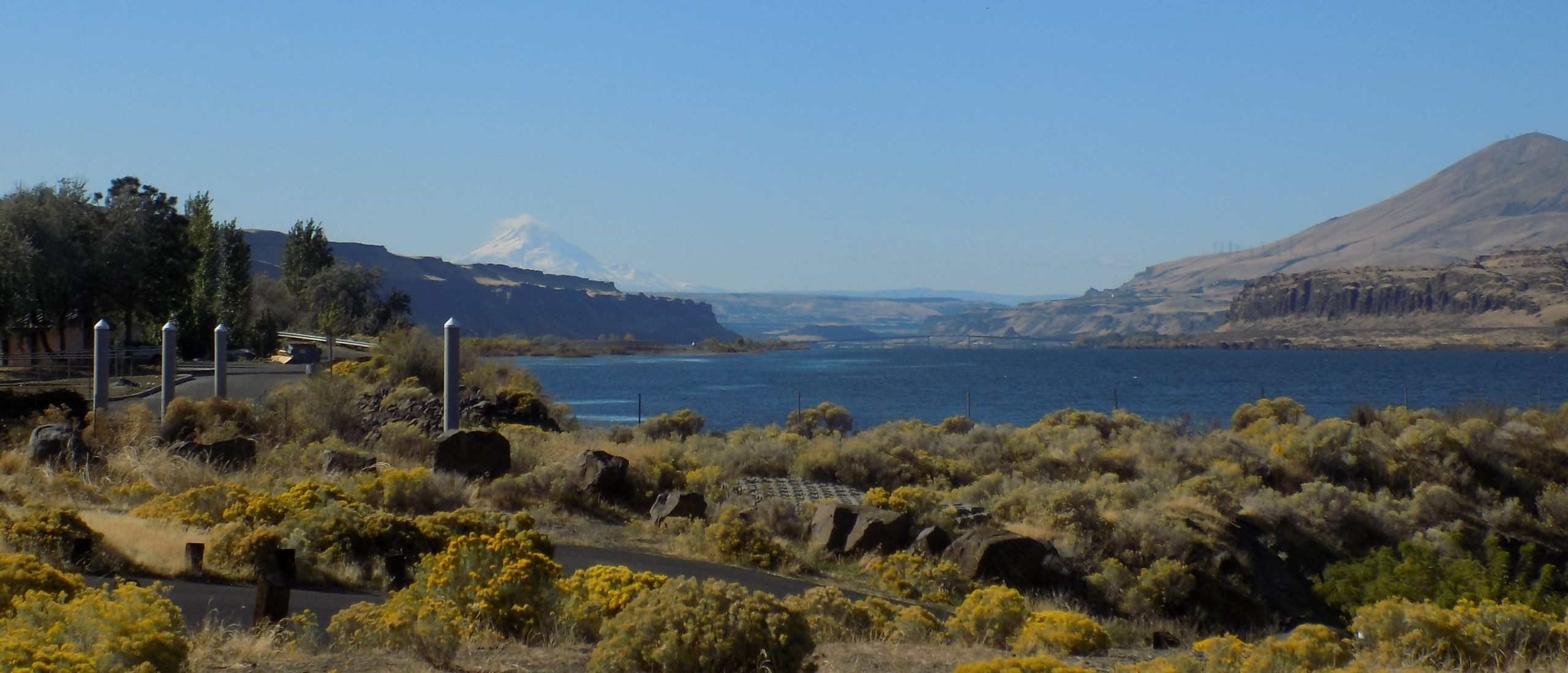
So, after driving through the park it was time to head back to camp, with a small side drive from Wasco down Scott Canyon to Rufus, home of the John Day Dam and the Giles French Park. Stretching for 1.7 miles from Rufus to the entrance to the dam, Giles French Park is owned and operated by the Army Corps of Engineers and, like most Corps of Engineers projects, allows free camping for up to 14 days. And there were a few trailers and camping vehicles, but primarily there were green areas and parking areas where those who wished to, could spend a lovely day right on the river.
Then onto a frontage road that leads back to where we started – Biggs Junction. And just because we could – we shared a large chocolate shake from McDonalds. Age does have its privileges!
Then back to the trailer and a late afternoon read outside.
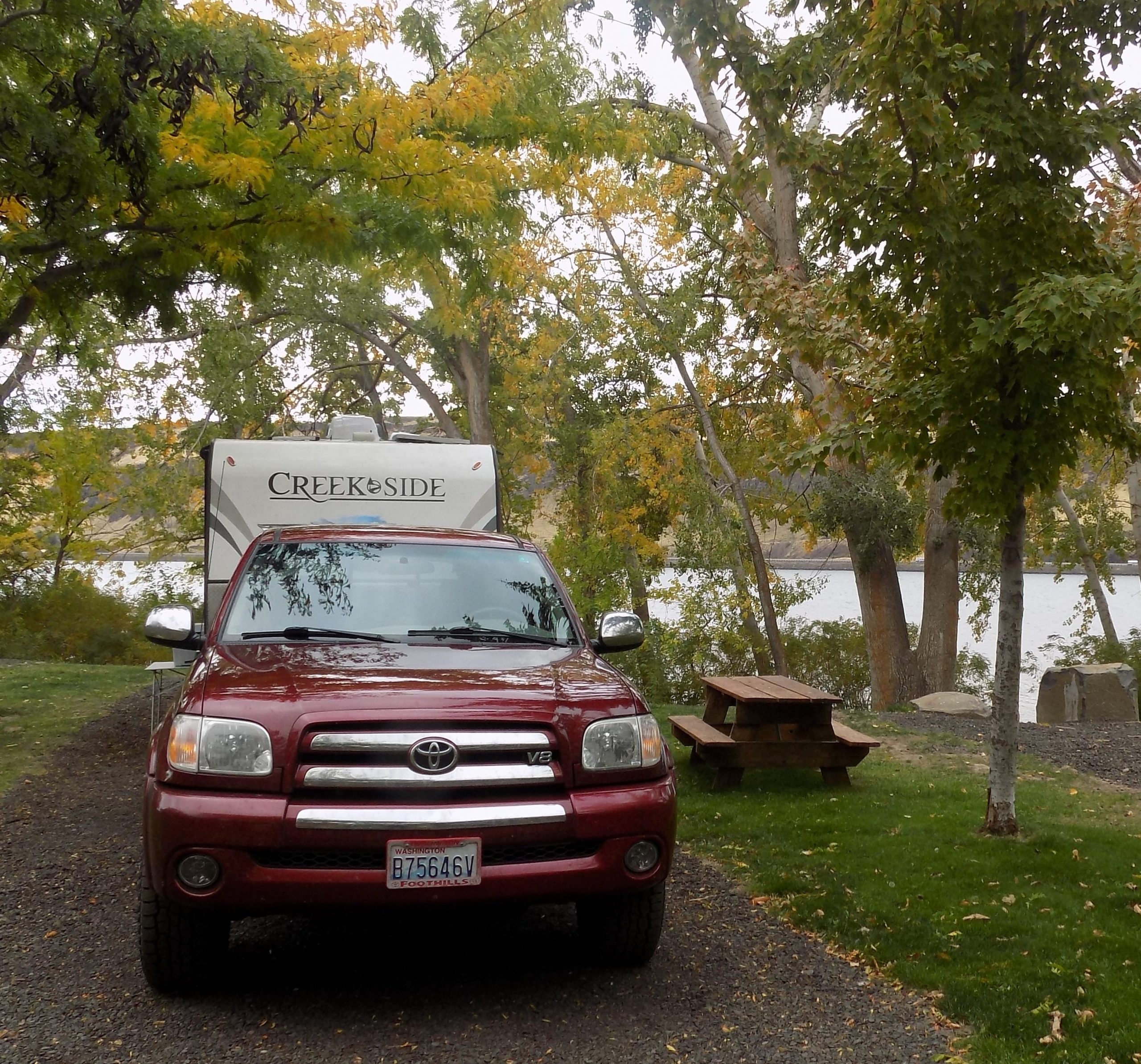
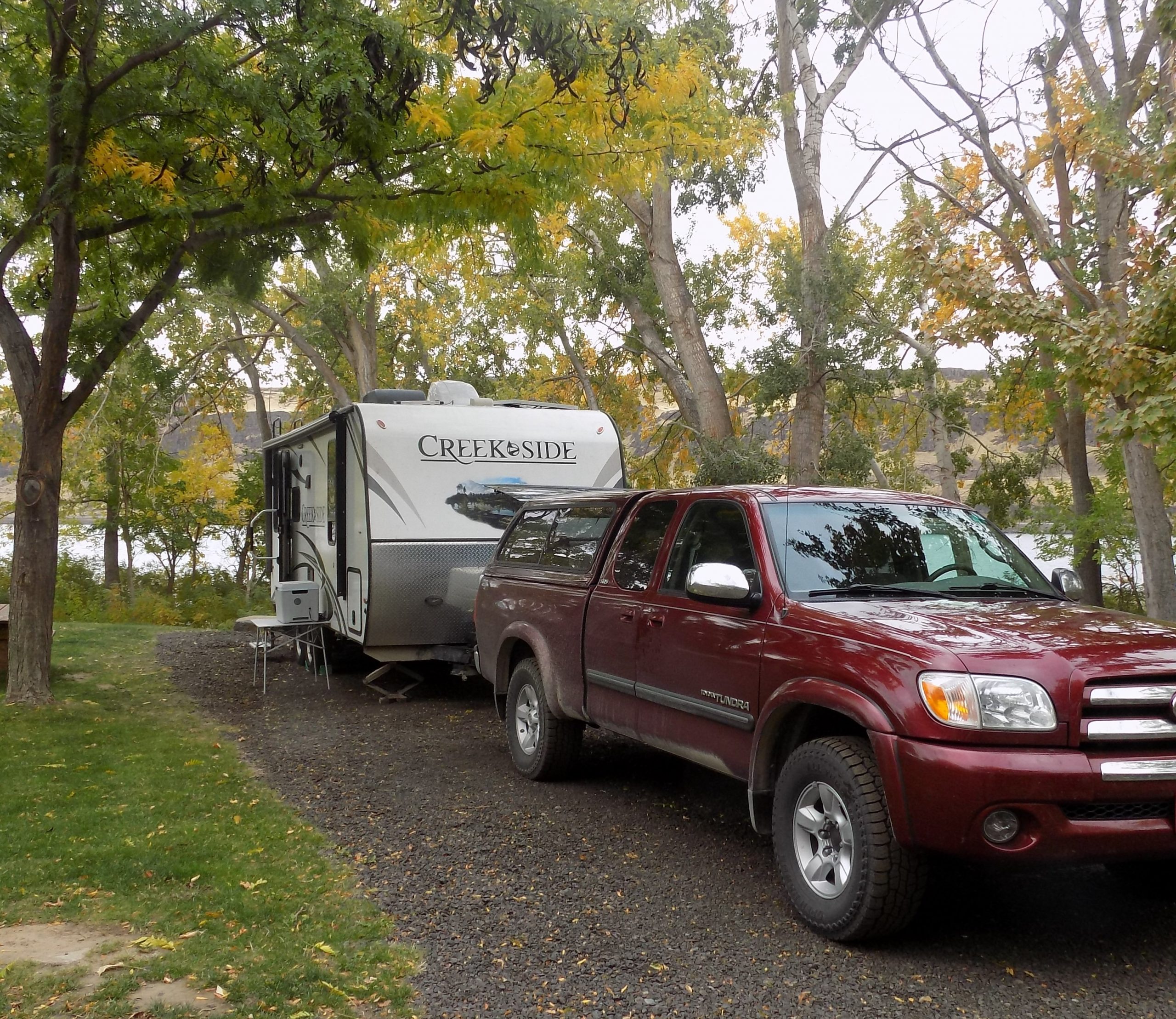
Saturday, October 16, 2021 – Yakima River RV, Ellensburg, WA – site 25
An easy run from Peach Beach up and over Satus Pass (elevation 3107 feet) on US Highway 97. The pass connects Goldendale and the Klickitat Valley with the Yakama Indian Reservation and the Yakima Valley to the north. The Simcoe Mountains lie to the west of Satus Pass, and Bickleton Ridge in the Horse Heaven Hills to the east.
But before you reach the top of the pass (about 10 miles north of Goldendale), we had to make a stop at one of our favorite dining establishments – St. John’s Monastery & Bakery.
The Holy Monastery of St. John the Forerunner was founded in 1995, when local Doctor Gerald Timmer donated his 48-acre property to the Greek Orthodox Diocese of San Francisco for the foundation of a women’s monastic community. There are now 20 nuns and novices at St. John’s Monastery. The monastery supports itself solely by the handiwork of the sisters and donations. They practice the traditional arts of the Orthodox church including: writing Byzantine icons, knotting prayer ropes, making incense, and dipping beeswax candles. They also mount icon prints and make natural soap and lotion and bake traditional Greek food and pastries for their bakery and gift shop.
For us, it would be practically sacrilegious to pass this bakery without stopping for a gyro or spanakopita and an espresso drink for Mr. C. The food is terrific, the nuns are delightful, the coffee is great, and the shop is very interesting to walk around while you wait for your food to appear as if by divine intervention. (The kitchen is off-site, so food is delivered to your table by one of the nuns.) After eating our delicious gyros, it was back on the road for us.
There are two ways to get from Yakima to Ellensburg. One way is to travel Interstate 82 up and over two ridges, Umtanum and Manastash. A nice way to go, but by far, the preferred route for us is SR 821, designated the Yakima River Canyon Scenic Byway.
The canyon was formed approximately 10 million years ago through the erosion of rocks formed by basalt lava flows. The byway passes through shrub-steppe habitats that are home to trout, bighorn sheep, mule deer, and a variety of visiting or permanent bird species.
Near the south end of the Yakima River Canyon, which cuts across the Umtanum Ridge, SR 821 crosses into Kittitas County. The two-lane highway generally runs along the bottom of the canyon, to the east of the river and railroad and paralleled to the east by I-82. At its south end, the highway passes downhill from an earlier alignment that was tunneled under a section of the ridge. At Roza Dam, the railroad crosses over to the west side of the river while SR 821 stays uphill from the river, cutting through part of the ridge. The highway continues north, following the cliffs along the meandering river and opposite the railroad and the Wenas Wildlife Area to the west. It passes through 9,000 acres of land owned by the Bureau of Land Management, which includes several campgrounds, boat launches, and four recreational areas. The area also has several cattle ranches and farms centered around the Burbank Valley. Midway through the valley, SR 821 passes the Canyon River Ranch, an isolated rest area with shops, restaurants, and cabins.
But the main reasons for us taking this route was because it is a beautiful canyon and we hadn’t visited it in many years. And at this time of year, the fall color would be spectacular. Neither of us could remember this canyon being so amazing, so we were simply blown away by the beauty. And a surprise, at least for me since I usually just go along for the ride, sat Yakima River RV. Perfect. Sorry no pictures of the canyon, but we were getting close to home and my camera finger was tired. But, this glorious canyon is close to home. So, we will be back. And we will take pictures. So, stay tuned.
Sunday, October 17, 2021 – HOME
After a small breakfast and cleaning as much of the inside of the trailer as possible, this being our last day on the road and in preparation to turn the trailer over to have it winterized, we were on the road by 11:11 am. (Pretty good considering all the stuff that had to get done before we left camp.)
Then onto I-90 and home. But on the way, even though we had traveled Snoqualmie Pass many times, the trees had never looked more glorious, especially the vine maple. It was like seeing the pass for the first time.
Safely back at our storage facility, we unloaded the fridge and freezer, grabbed a few items of clothing, remembered our toiletries and daily pills, and left the rest until the next day. We were tired and just wanted to set foot in our primary dwelling.
Traveling in a trailer is wonderful, but part of the pleasure is getting home. Kitties waiting to be loved on, a shower that you can do the can-can in if you so choose, and water that comes out of faucets that don’t have to first be hooked-up, pumped, or the hot water heater turned on. Water at home just appears as if by magic. And just like you want it. There really is no place like home.
But give me a trailer anytime over a hotel room. Your cloths don’t have to be unpacked every night, you can prepare your own meals, your booze is chilling in your own refrigerator, and maid service is complimentary.
As I looked out my kitchen window when we got home, I thought of all the wonders of nature I had seen on our trip. But the most beautiful view for me is still the one I see every day out my east facing windows. Trees, Port Susan Bay, and the Cascade Mountains. And I realized again, how exceedingly lucky I am. Not only to be able to enjoy my home, but be able to experience such wonderful travels with Mr. C.
So, thanks for coming along with us on our latest adventure. My hope for you is that you too have the chance to experience your own adventures and make your own memories.
And as always – Peace and Love to all.